
Planet Provides Open Source Mosaic of Queensland
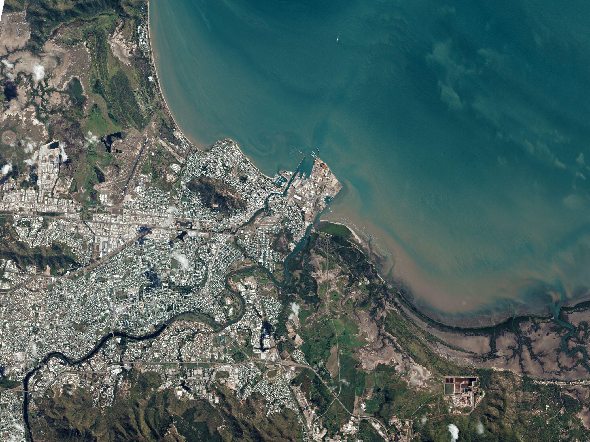
Planet continues to deliver on its commitment to democratize access to satellite imagery. Last week, Planet and Queensland, Australia’s Department of Natural Resources, Mines and Energy (DNRME), published a high-resolution mosaic of the entire state for open distribution under a CC by SA-4.0 license. Acquired by the Queensland government under its QSat initiative, the mosaic is 2.4 meter resolution and made from millions of daily images of the state captured between July and September 2017. This represents the highest resolution, most recent, and publicly available mosaic available in Queensland, and will enable new geospatial applications by the government, researchers, and developers. “The Queensland government is a strong supporter of open data. It has also been an early adopter of Planet’s imagery services, which are used extensively and are available to all government agencies, an arrangement we have recently extended for a further two years,” said Steve Jacoby, Executive Director, DNRME. “It’s great to be able to provide the public and businesses broader access to the Queensland mosaic through a CC ShareAlike license.”

Ready to Get Started
Connect with a member of our Sales team. We'll help you find the right products and pricing for your needs.