Scaling National Climate Resilience: How Uzcosmos Is Transforming Water Governance with PlanetScope

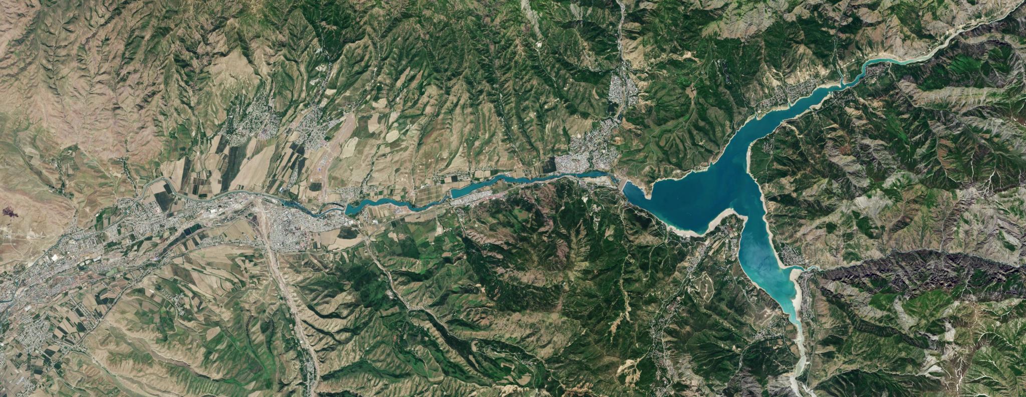
PlanetScope image of Lake Charvak in Uzbekistan, captured May 15, 2025. © 2025 Planet Labs PBC. All Rights Reserved.
StoriesUzbekistan stands at a critical environmental and economic crossroads. As one of Central Asia’s most water-stressed nations, its food security, energy generation, and overall economic stability are tied directly to how efficiently it can manage its water resources. In recent years, escalating climate impacts and changing hydrological patterns have made proactive resource management a top national priority. Spanning more than 448,000 square kilometers — stretching from mountainous terrains to vast, arid deserts — the geography alone presents a massive monitoring hurdle.
Historically, monitoring critical infrastructure like reservoirs across this diverse landscape was very resource-intensive. Traditional methods relied on manual field inspections, water-level staff gauges, fragmented reporting, and paper-based records. This created significant operational limitations, from delayed responses to inconsistent monitoring frequencies at a national scale.
To overcome these challenges and accelerate its digital transformation, the Uzcosmos Agency, operating under the Ministry of Digital Technologies of the Republic of Uzbekistan, established the State Space Monitoring Program. Their mission? Integrate satellite imagery, GIS technologies, and AI-assisted analytics into everyday public administration to optimize water resource management, enhance agricultural oversight, and ultimately drive operational decision-making across government sectors.
Building a Digital "Virtual Gauge" System From Space
To modernize its capabilities, Uzcosmos partnered with Planet to integrate near-daily, 3 meter resolution PlanetScope® imagery into its proprietary GIS platform. While open-source datasets offered a baseline, they lacked the revisit frequency and spatial precision needed to track rapidly changing reservoir conditions or monitor Uzbekistan’s fragmented, relatively small agricultural parcels.
By leveraging PlanetScope, the Uzcosmos technical team built an advanced digital monitoring workflow combining RGB and near-infrared imagery, automated image segmentation, and reservoir surface extraction algorithms. This platform processes large volumes of satellite data at a national scale to calculate:
- Water surface area and shoreline dynamics
- Water level changes
- Estimated reservoir volumes
This innovation culminated in a scalable "virtual gauge" system. Unlike physical sensors that require ongoing field access, manual calibration, and maintenance, satellite-based monitoring delivers stable, long-term, and repeatable observations across more than 50 strategically important reservoirs simultaneously. A virtual gauge functions by converting satellite imagery directly to precise hydrological measurements. Using this method, Uzcosmos can digitally calculate accurate water surface levels, shoreline boundaries, and total storage volumes from hundreds of kilometers above Earth.
Validating the Data: The Tashkent Breakthrough
To build institutional confidence in this new system and prove its operational viability to government stakeholders, Uzcosmos put the technology to the test at the Tashkent Reservoir. The reservoir was outfitted with an in-situ smart water-level sensor, enabling engineers to perform a side-by-side benchmarking comparison between ground-based measurements and PlanetScope-derived calculations.
Analyzing data collected between July 2024 and April 2025, engineers found that the satellite data closely tracked ground reality across changing seasons and water levels. In fact, deviations remained well within operationally acceptable margins, never exceeding approximately 10 centimeters under validation conditions.
As Mukhiddin Ibragimov, Deputy Director of Uzcosmos, noted, "The validation demonstrated that satellite-based monitoring can provide highly reliable operational data even from hundreds of kilometers above Earth. This significantly increased confidence in using satellite intelligence for national-scale water management." The test provided the definitive proof-of-concept needed to transition satellite analytics from an experimental tool into official government workflows.
Beyond Reservoirs: Nationwide Agriculture and Governance
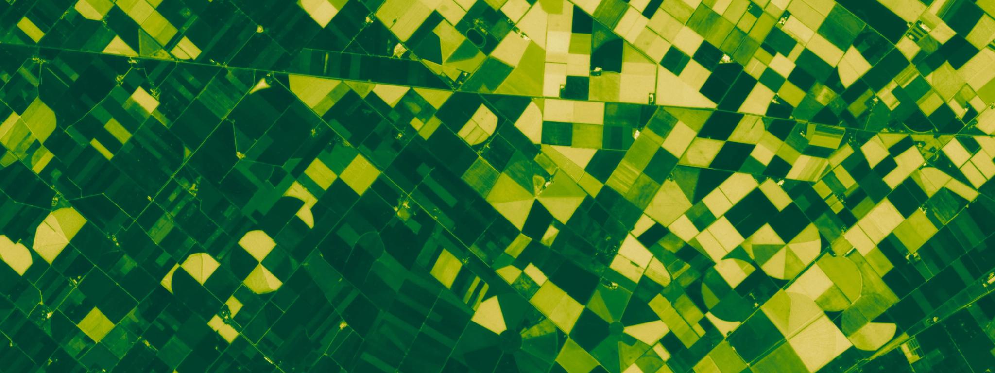
Following this breakthrough, Uzcosmos successfully expanded the platform into nationwide agricultural monitoring. By deploying AI-assisted classification models alongside PlanetScope imagery, the system now tracks plowing activities, irrigation dynamics, vegetation development, and harvesting cycles across millions of hectares.
Today, this digital ecosystem is transforming national governance, moving Uzbekistan away from fragmented paper records toward a unified, interagency infrastructure supporting environmental health, land use, and regulatory oversight.
If you’re interested in learning about the full technical breakdown, operational workflow, and validation data behind this regional milestone, you can read the complete Uzcosmos case study here.
Or, watch the video below to hear Mukhiddin Ibragimov share how numerous agency sectors in Uzcosmos are using Planet imagery to drive decision-making across the country.
Loading Video...