NewsNewsCopernicus EMS Uses Planet Data for Emergency Response MappingRene Griesbach |June 10, 2020|2 min readRead more
NewsNewsPlanet and Everbridge Partner to Use Satellite Imagery for Critical Event ManagementAparna Singh |September 9, 2020|4 min readRead more
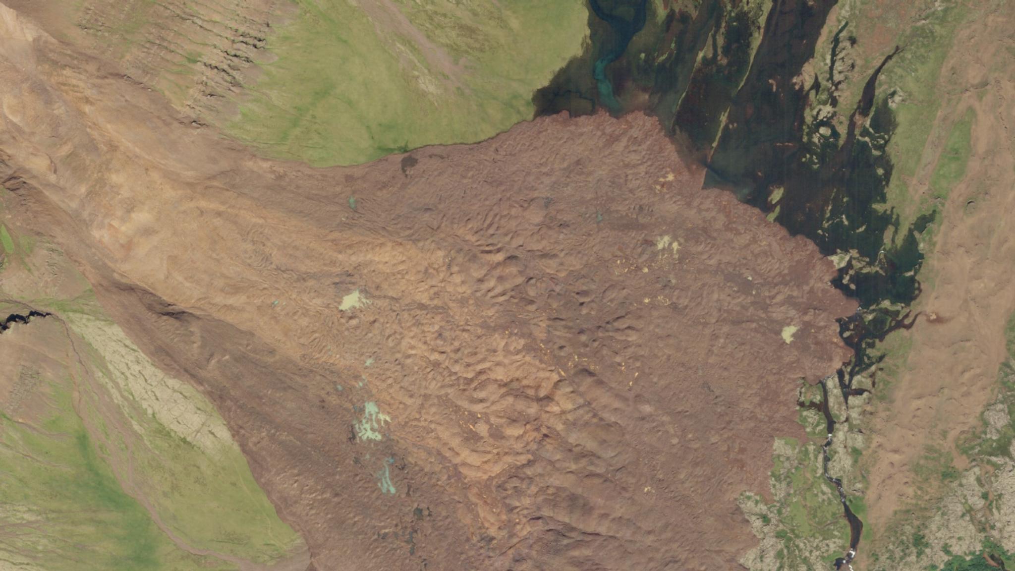
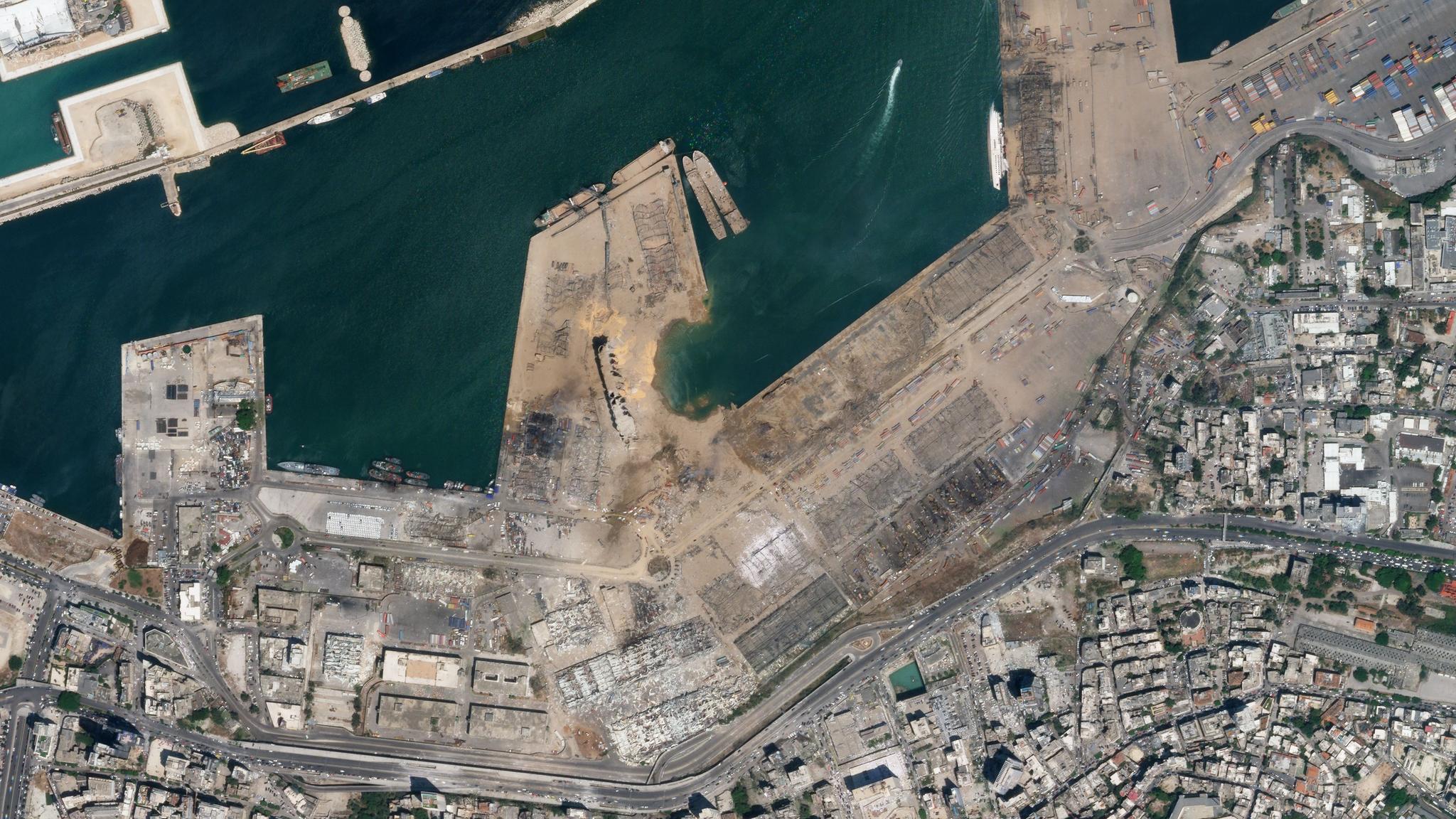
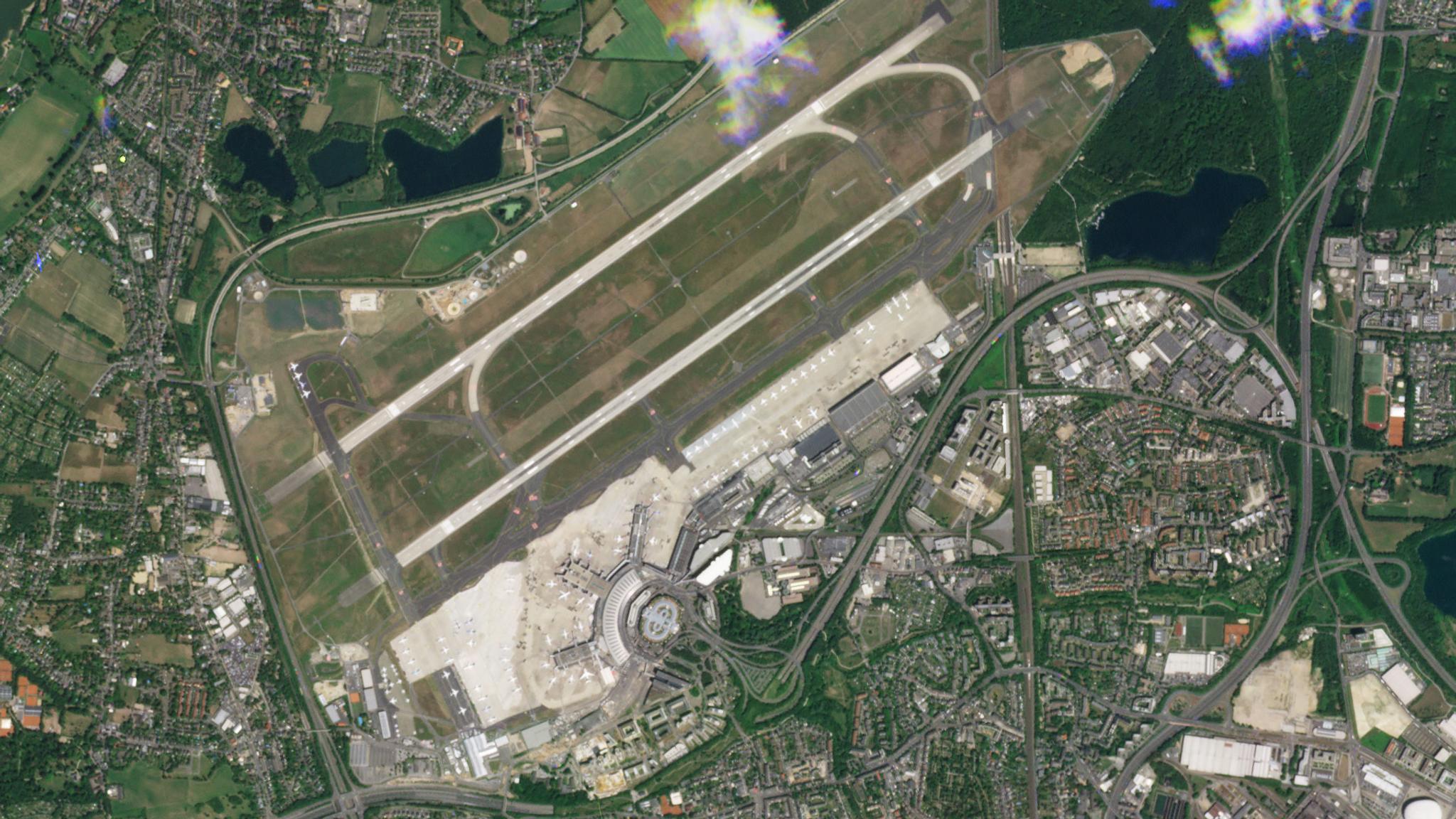
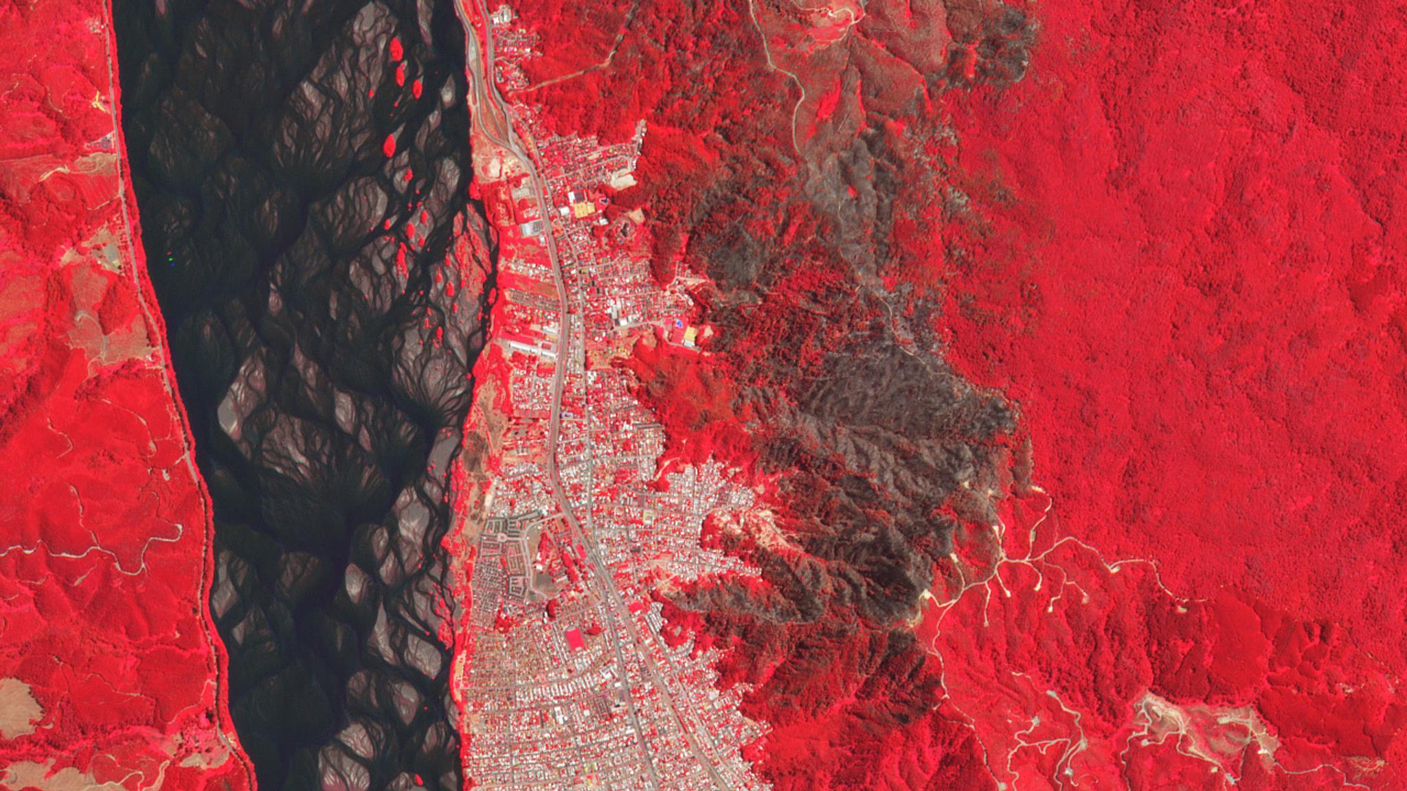
StoriesStoriesPlanet Satellite Imagery Brings Europe into FocusDjordje Zivanic |September 8, 2020|7 min readRead more
StoriesStoriesUNFAO and Planet SEPAL Collaboration Drives Conservation Solutions Across TropicsTara O'Shea |June 28, 2020|7 min readRead more