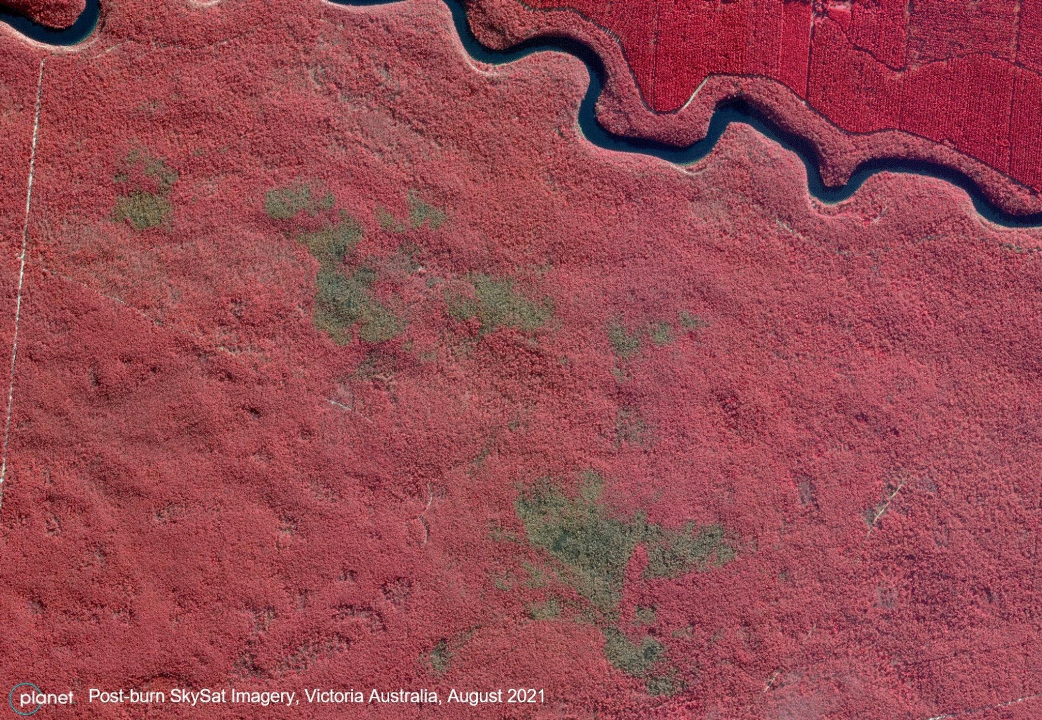
Forest and Fields, July 18, 2016

Geoplex Blog Posts

Planet’s Rapid SkySat Data Enables Effective Regional Bushfire Management in Australia

Stories

Civil governments around the world are making sustainable strides in local environmental management; and by using satellite-enabled data, they are able to analyze and support preventative management techniques to protect local communities and ecosystems. For example, Forest Fire Management Victoria, a governmental organization located in Victoria, Australia, leverages high-resolution tasking capabilities from […]

Protecting Queensland’s Natural Resources with Satellite Imagery

Stories

Queensland is home to nearly 5 million citizens and some of the earth’s most delicate ecosystems. At 1.8 million square kilometers, the region contains rare earth resources, unique biodiversity and sensitive coastlines neighboring the Great Barrier Reef. Protecting this vast natural landscape is the challenge of Queensland’s Department of Natural Resources and […]