
Planet and Geoplex Partner to Deliver the Latest Satellite Data to Queensland Government
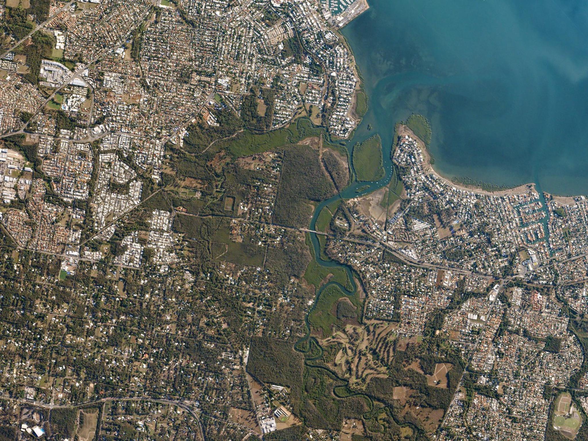
Suburban Brisbane surrounds Tingalpa Creek—a tidal waterway popular with kayakers, hikers, and birdwatchers. Captured on May 19, 2016. © 2016, Planet Labs Inc. All Rights Reserved.
NewsPlanet is pleased to announce that we have once again partnered with Geoplex, a mapping and GIS systems company based in Australia, to deliver timely, high resolution satellite image data. We’re especially excited about this effort because a portion of the data to be used by the Queensland government, within its Department of Natural Resources and Mines (DNRM), will be made available to the public under creative commons.
Ready to Get Started
Connect with a member of our Sales team. We'll help you find the right products and pricing for your needs.