NewsNewsIrma and Harvey Satellite Data Available for AccessBrittany Zajic |September 14, 2017|1 min readRead more
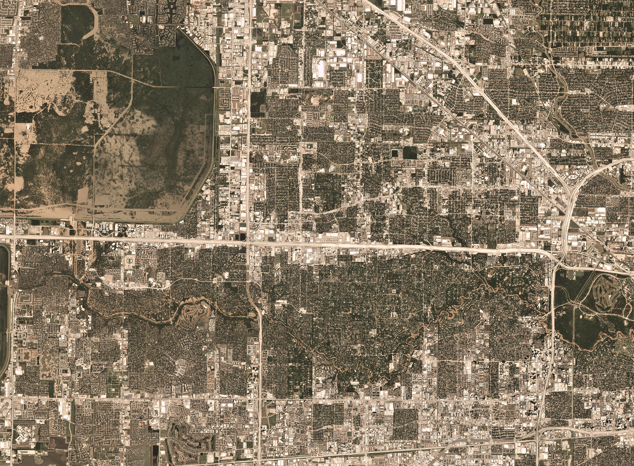
StoriesStoriesSlingshot Aerospace Maps Flooded Areas following Hurricane HarveyJustin Davis |September 28, 2017|2 min readRead more