
Adding Time to Mapping, Finally
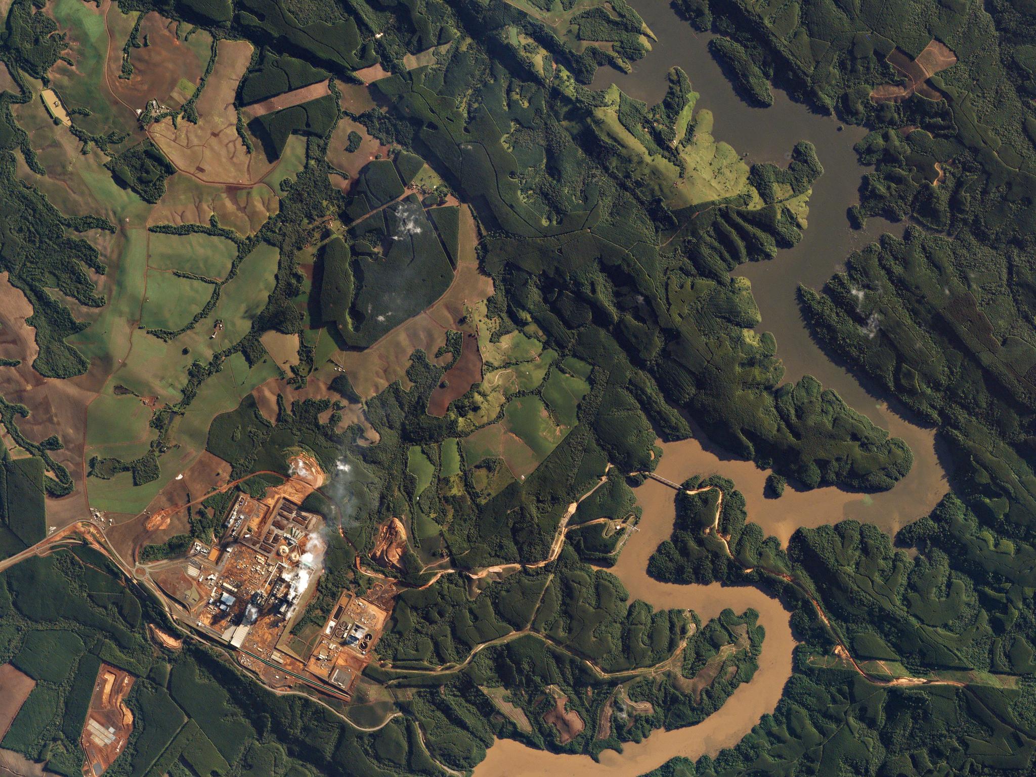
SkySat image of the Tibaji river in Rio, Brazil © 2017, Planet Labs Inc. All Rights Reserved.
StoriesAll the way back in 2005, as our 6-person team was preparing to launch Google Maps, we were starting to look at what we would do after the product was launched. The roadmap I had started out with (in late 2002) was clear enough: start out with a high quality interactive 2D map, using shadows to make it feel more like a map on a table than a map on a wall, so altitude and things standing up on the map would be part of the experience. Then go to full 3D with terrain height and buildings. And finally, add a 4th dimension to the map - time. Waiting for the Right Time Time was always the most interesting and ambitious part of the plan. And the element of time is what has made Planet’s mission so interesting and exciting. I’ve always said that you rarely want driving directions from A to B, you mostly want to know when to leave A to get to B by a certain time. (This was 2005, getting directions still meant printing them out from a web browser, and bringing them with you on paper…) I used to say that when we were done with time, you’d use the time navigation to get your directions for later in the day, so you’d know when to leave. Then you’d use it to navigate to next Monday, and see the weather forecast for the destination. And then if you’d zoom out and go all the way back in time, you could look at the continental drift. That last line would get a laugh, but it also helped to show that there was something very odd about the way we build maps online. In most ways, we still interact with digital maps the same way we do with printed maps. We try to make the maps as up to date as possible, “chasing the now.” And when we add traffic, it is only the real-time traffic, with no access to historic traffic, or any future predicted traffic. So there has never been any general time navigation in maps - just for a few specific uses like directions - where you could add an arrival or departure time. One of the reasons for this is that there has been no source of time-based map data available. We would get an imperfect dataset, and do our best to generate a useful map from it, hoping the map wasn’t too out of date, in too many places. And then, every quarter or so, we’d get a new data set with updates. Was there a new road, or had it been there for decades, just not in the dataset? If a road changed to one-way, was that a permanent change, and when did it happen? The data problem is starting to change, as the larger providers of maps are collecting their own data, and the update cycle is shortening. But we still haven’t gotten to the point we’re we start keeping the old data as part of the map, so users can access it. And while the data being collected can be added to the map quickly, we still don’t know when the change took place. We discard the old data, and enjoy that we are getting closer and closer to the same now we’ve been chasing all this time. Finally, the Global Monthly / Weekly / Daily (Bit)map Now, with Planet and its 190 satellites in orbit, there is finally a source for mapping that solves this problem. With the capacity for gathering a fresh picture of all of Earth’s land every month, week and day, we suddenly have a whole new type of map, that comes with a time dimension built in. And it’s not just the existing data with some new imagery added in select places, it really is the entire planet photographed during the specific time period. This new map type doesn’t just make it possible to have time navigation, it makes it necessary. Imagine a global bitmap that is updated with cloud free images every day. This would show the entire planet, with a lot of it being from the latest day, and the rest being older, showing the freshest imagery without clouds we have in each location. Having a satellite image-based map that is this up to date is a phenomenal achievement. But is still means that you wouldn’t know how old the imagery was in a given location, without using tools to investigate it. And while we have gotten closer, we are still chasing the now, and, as we get closer, the constant changes become a bigger problem. There are other applications that are natural for imagery that is high frequency and global in coverage. For instance, you want to be able to see where a forest fire was last Thursday, or how an area looked months before some change occurred that you just learned about. The very nature of what’s being recorded means that giving users time control is the only way to get the real value from the data. With Planet, we’re finally getting to the point where a map with time navigation is becoming a reality, and when it’s here, we will find that there’s a whole new world of mapping functionality and uses that is waiting to be unleashed. Humans have been making maps for thousands and thousands of years. From originally drawing lines in the dirt to the digital maps of today, we continue to chase the now. Planet has finally introduced the element of time, past and present, which is exciting because after all these years it really is about time.
Ready to Get Started
Connect with a member of our Sales team. We'll help you find the right products and pricing for your needs.