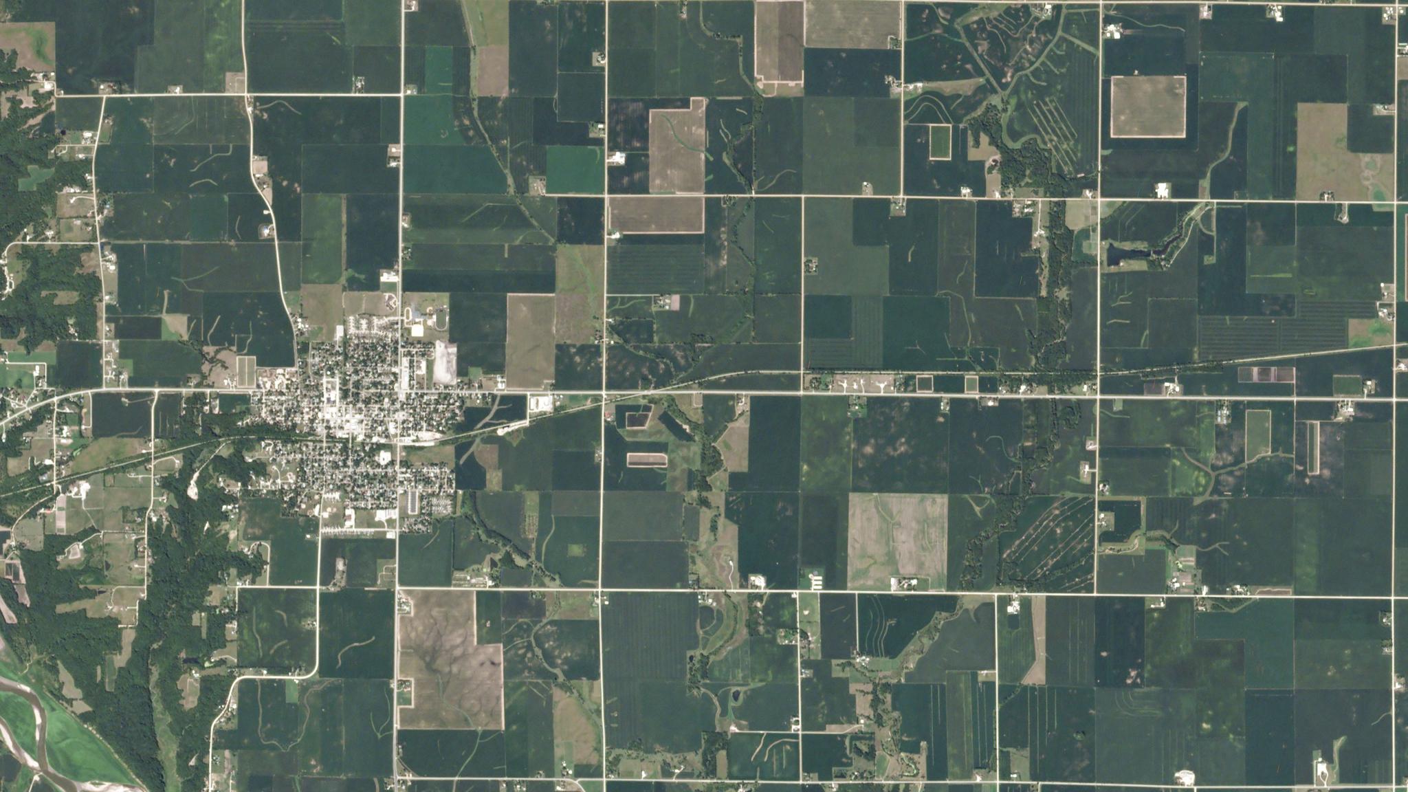
PlanetScope imagery of damaged fields in Iowa following a wind storm. © 2020, Planet Labs Inc. All Rights Reserved.
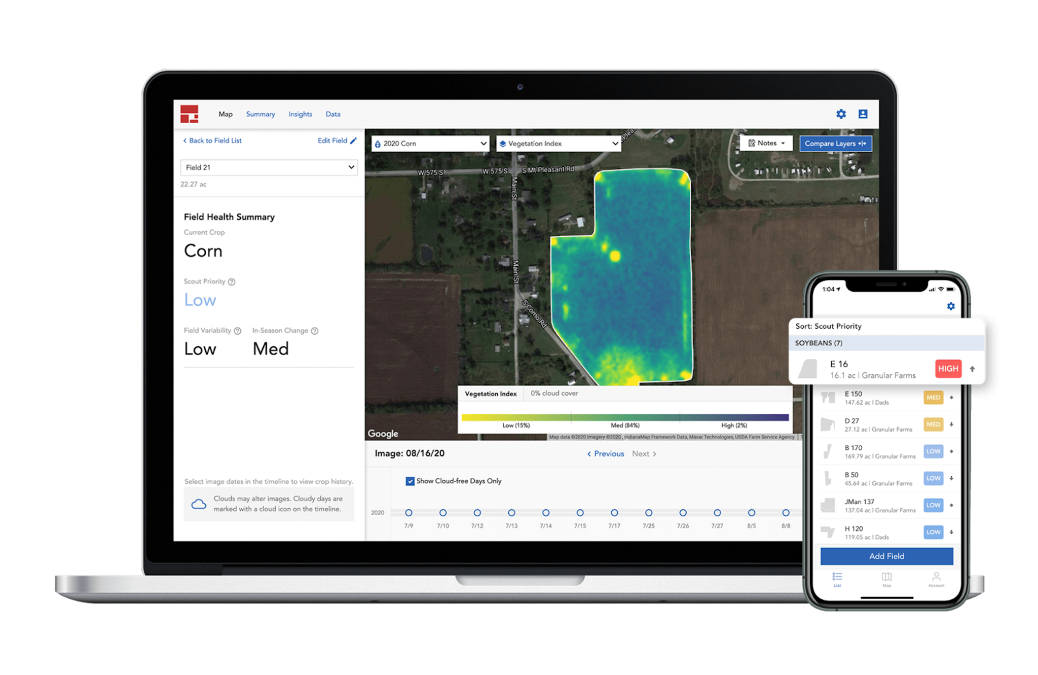
AUTHOR PROFILE Steve Levay
Curious Planeteer working to make the Earth's changes visible, accessible and actionable.

Executing a Successful Growing Season Using Satellite Imagery

Stories

With the growing season well underway, growers are busy assessing the progress of their crops and considering where and how they need to adjust resources and strategies to optimize their yields. As in the beginning of the growing season, remote sensing data can provide tremendous value to growers, ensuring healthy yields at harvest time. Learn how Planet customers are leveraging our data to gear up for a successful harvest. Earlier this month, Planet entered into a definitive merger agreement with dMY Technology Group, Inc. IV (NYSE:DMYQ), a special purpose acquisition company, to become a publicly-traded company.

Monitor crop health in real time.

Digitally informed strategies don’t stop once the growing season kicks off. Growers need to make critical decisions at various points throughout the season in order to maximize results and profitability. Many of these decisions are made in response to unanticipated weather variations, like a dry or wet spring, which can both lead to pest infestations and disease outbreaks. By using satellite data, growers can analyze crop health on the fly to make timely decisions about treating new problems. Agronomists and crop consultants benefit too, keeping up with the progress of their customers’ fields remotely. 

Scout with speed and efficiency.

In the past, it was common for growers, their employees, and the companies that serve them to spend hours surveying entire fields to locate and identify crop issues. Thanks to the spatial resolution and frequency of modern satellite imaging, however, those lengthy and costly scouting trips are made more efficient with directed scouting. Farmers use satellite imaging to create detailed maps that quickly and accurately pinpoint affected areas of their crops. By analyzing information about crop health, farmers can identify areas of their fields where crops are stressed. Plus, the digital tools that employ Planet satellite data often include tools that help communicate to employees on handheld devices, easily guiding attention to crops that need to be treated.

Tools like Granular Insights help farmers direct attention to in-field changes, addressing problems and tracking the effectiveness of treatments. Credit: Granular

Receive alerts about crop changes before they become bigger problems.

With even more data from satellite imagery, those same tools can also offer automatic detection of issues without the need for human analysis. Algorithms that detect rapid declines in crop health can be used to generate vitality alerts and even email and text notifications that tip off growers to areas that may be affected by pests, nutrient deficiencies, or water stress before they become serious problems. You can’t fix what you can’t see, and by noticing issues before they become serious threats, Farmers can save significant labor costs and preserve threatened yields.

Target treatment for every growth stage.

Need to know when and where to water and fertilize? These in-season crop management tasks shouldn’t rely on growers’ intuition alone. Comprehensive overviews of their fields can be used to generate prescription maps to automate the application of inputs onto the field. But where this data isn’t historically available, in-season satellite images can be used to generate variable rate applications of nutrients and crop protection products Likewise, timely satellite data can be used to understand the growth stage of crops, crucial for the appropriate timing of some products. The imagery that informs these targeted treatments can also serve as reference later in the season, when growers need to gauge how their treatments affected crop production.

Prescription map generated by the Taranis app for variable rate fertilizer application using PlanetScope data. Credit: Taranis

Add to crop maintenance knowledge.

The data gathered by growers during the season has significant value for future seasons. By feeding this data into models, growers can receive management advice that’s proven to succeed. With a comprehensive understanding of what worked and what didn’t, and by quantifying the success of different seeds and techniques, farmers can deploy these methods in the future to maximize profitability.

At this point in the season, every grower wants to maximize yield and avoid losses from crop issues that could have been detected and mitigated earlier. Think of high-resolution satellite imagery as the early-alert system for crops, bringing more certainty to outcomes at every stage of the growing season.  

Ready to start mid-season monitoring with Planet? Reach out to our team today.

And don’t miss our upcoming user conference, Planet Explore 2021, where Ag experts will be sharing how they use satellite imagery to develop innovative solutions.