
How Analysts Uncover Covert Nuclear Facilities with Planet Data
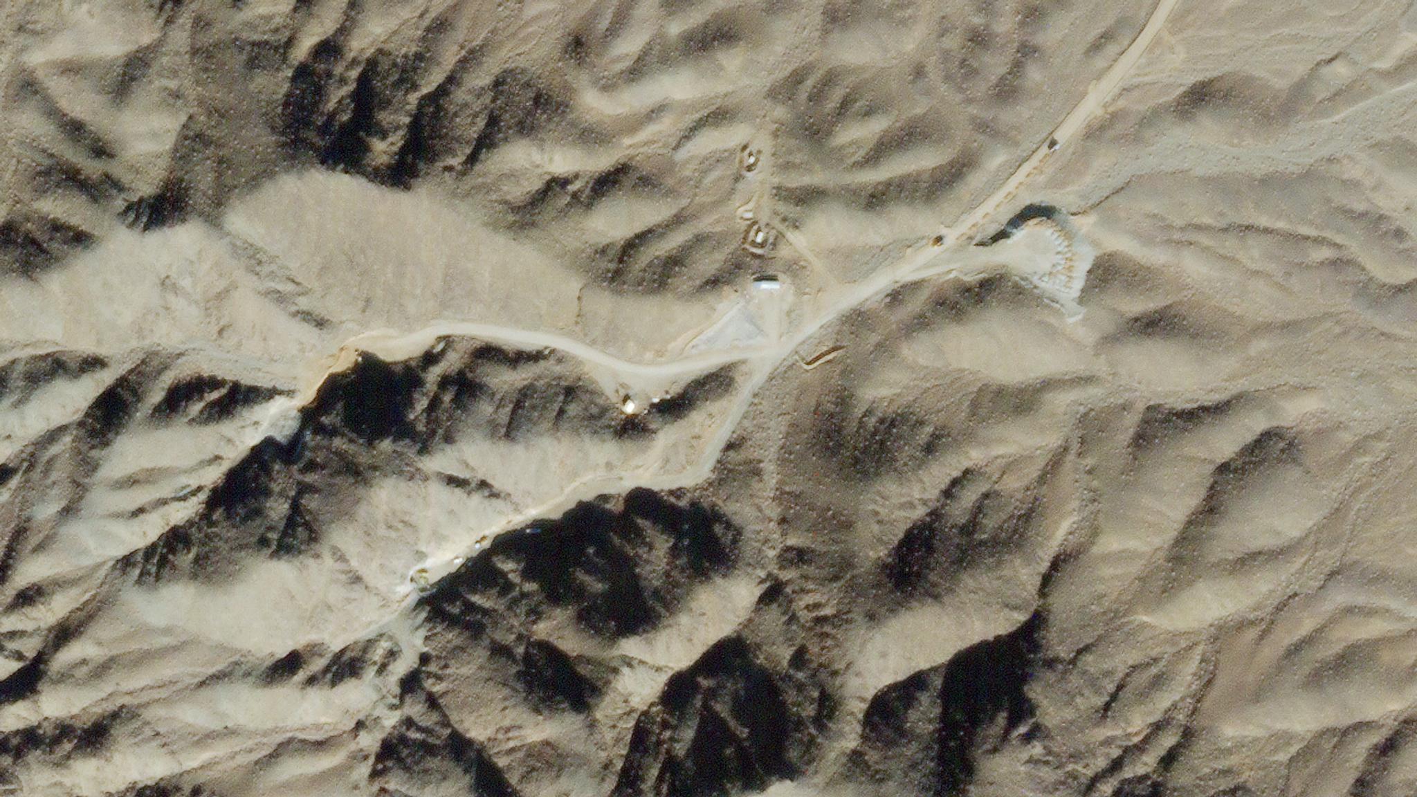
Planet SkySat imagery of new construction near Natanz. © 2020, Planet Labs Inc. All Rights Reserved
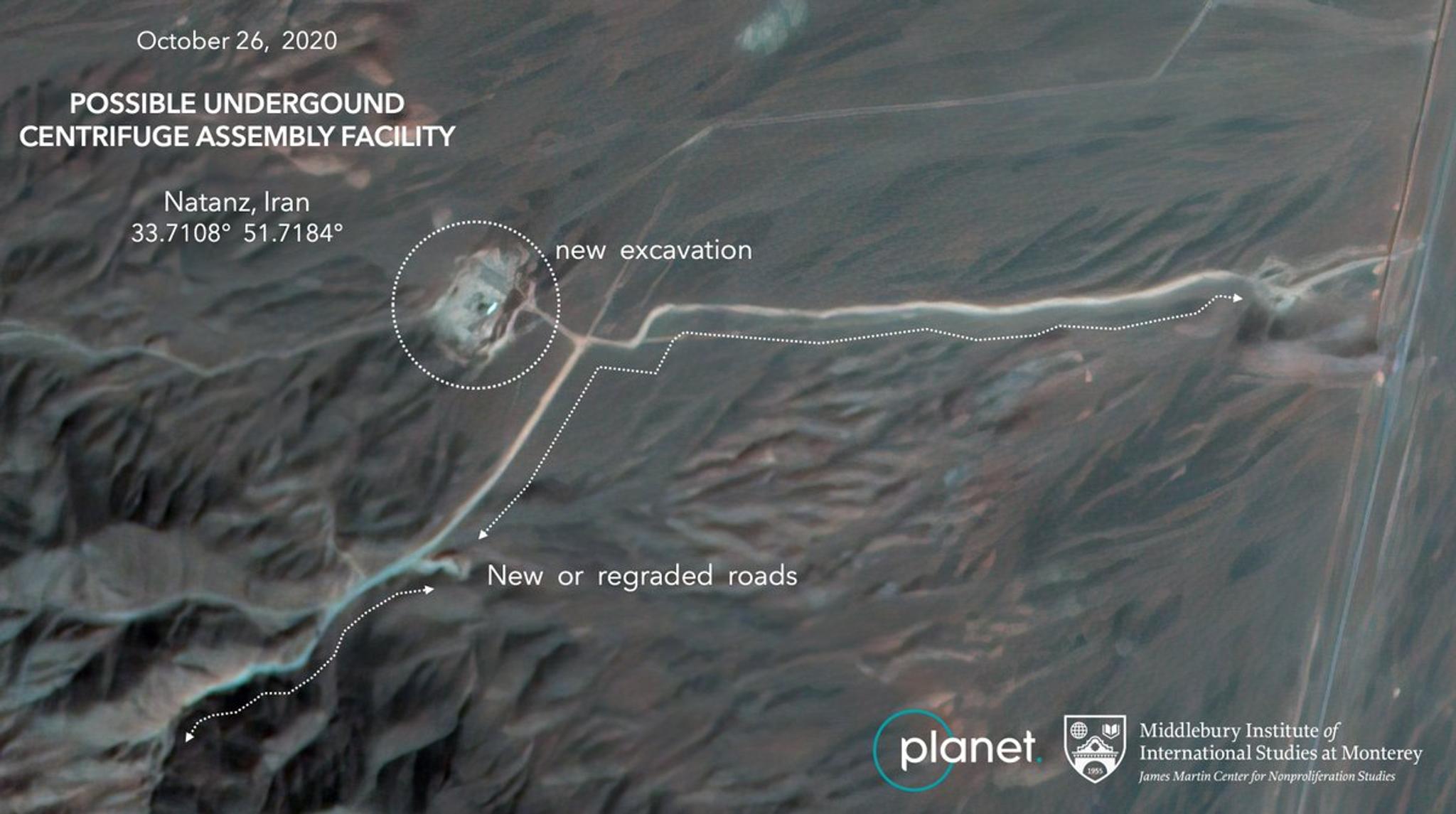
StoriesIdentifying potential threats and acting decisively is crucial to ensuring global security. Geointelligence analysts are responsible for studying a myriad of activities that might indicate a security risk. But how do they analyze activities that are intentionally carried out in a covert or hidden manner? To get insight into this question, we look to Dr. Jeffrey Lewis at the Middlebury Institute of International Studies at Monterey (MIIS). Here, they specialize in analyzing pressing geopolitical issues such as the development of nuclear capabilities in areas of high interest. In addition to using open source intelligence, Dr. Lewis and team rely on satellite imagery to understand patterns of life and detect and monitor ongoing changes on the ground. In September 2020, following a mysterious explosion at Iran’s Natanz nuclear complex, Ali Akbar Salehi, Head of the Atomic Energy Organization of Iran, announced the construction of a new underground facility. This triggered Dr. Lewis to join the global race to uncover the whereabouts of the new plant. [caption id="attachment_146321" align="aligncenter" width="1200"]
Ready to Get Started
Connect with a member of our Sales team. We'll help you find the right products and pricing for your needs.