
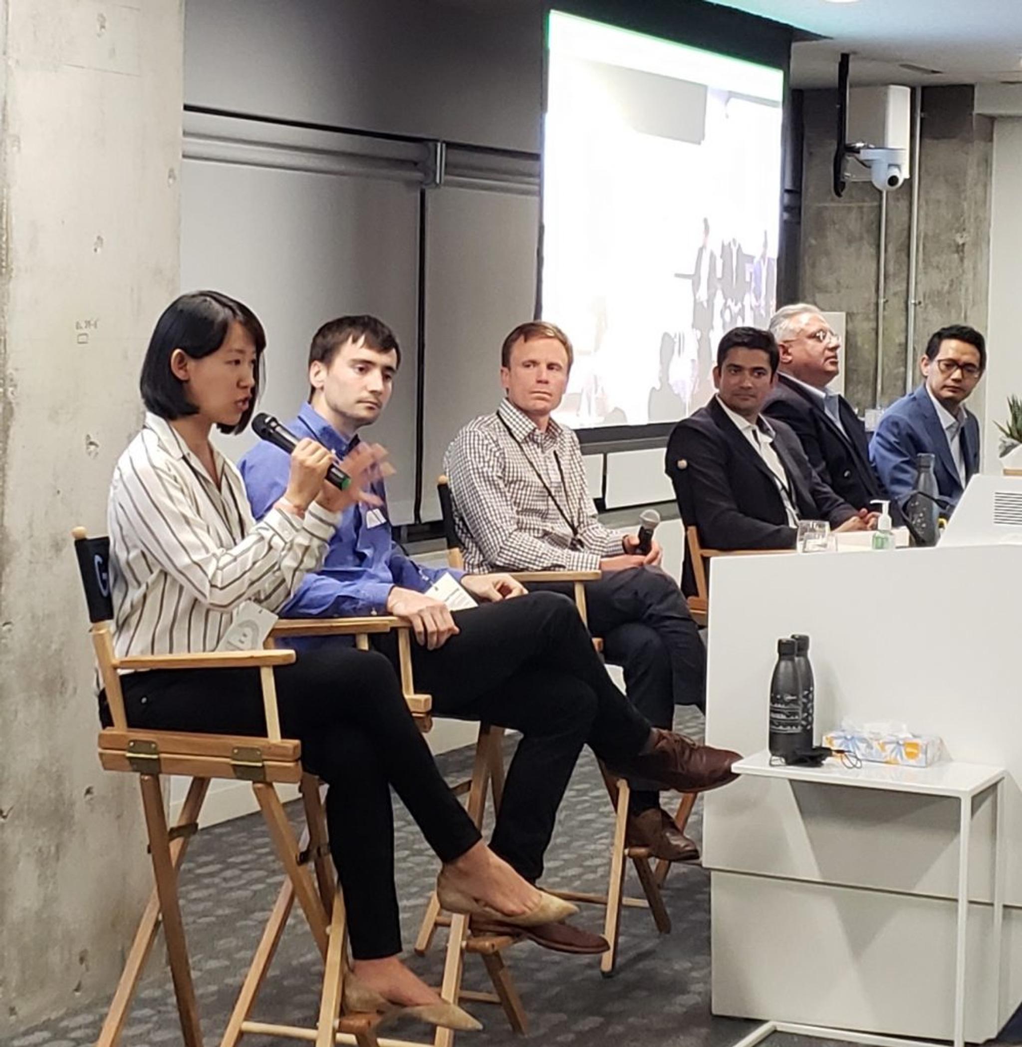
Planet and Google Partner for Machine Learning Meets Space Panel
Last week, we partnered with Google to bring together technology experts to explore the next wave of insights and applications being built upon geospatial datasets.
Moderator Marshall Burke lead the conversation joined by Fei Xue, Machine Learning Specialist at Google; Planet’s own Gopal Erinjippurath, Sr. Director, Analytics Engineering; Pierre Massat, Head of Engineering at Ever AI, Anand Pradhan, Head of Enterprise Services and DCP Technology Ventures at DCP Midstream, and Vinit Verma, Senior Technology Advisor, Exxon Mobil.
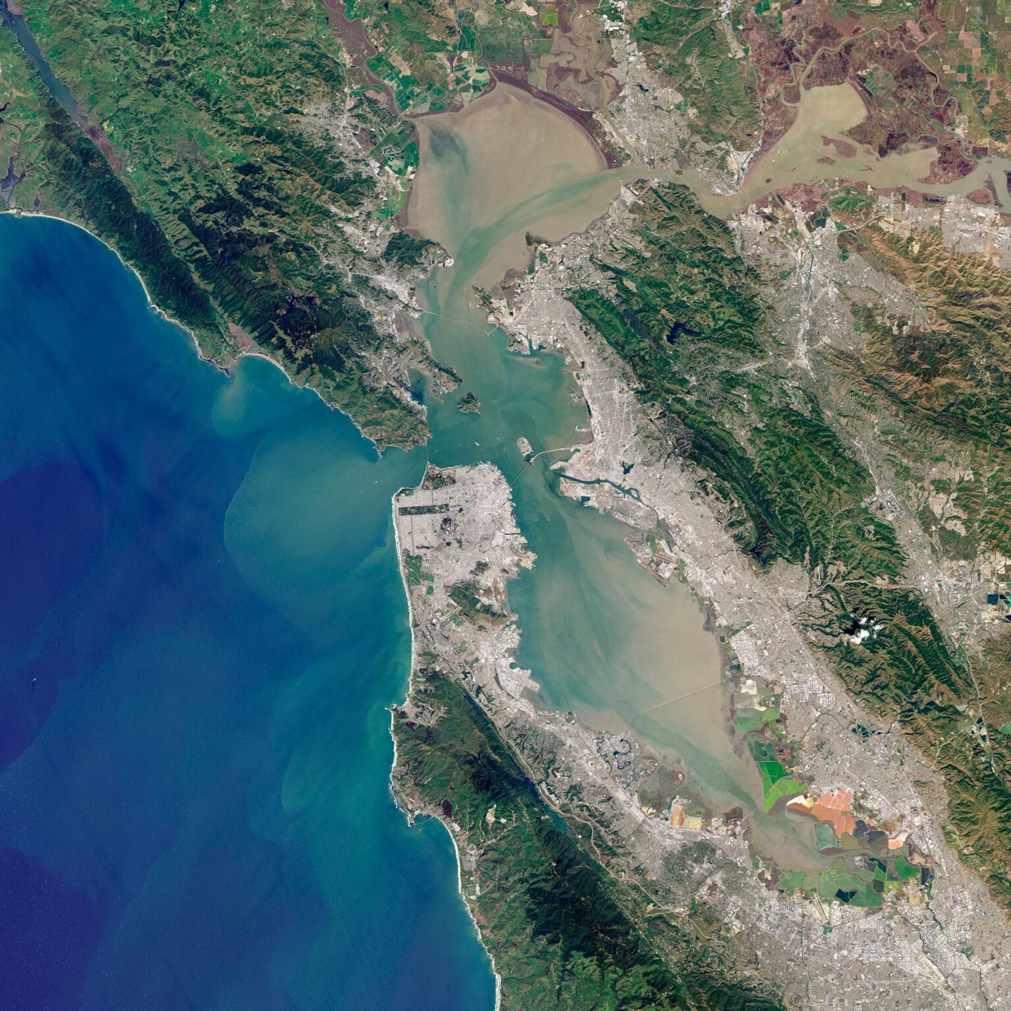
This group of experts discussed how the new sensors and satellite constellations being deployed to low earth orbit lowers the cost of acquiring raw geospatial data. And, when combined with advances in geospatial data platforms, interoperable datasets, distributed computing, and modern computer vision techniques, this data presents endless possibilities for analysis that will enable increased understanding of our planet and create new opportunities for commercial value.
.
- We have more data than ever before: The proliferation of high cadence satellite imagery means the cost of acquiring raw geospatial data has become more affordable than ever before, paving the way to gather deeper insights about our world. Applying machine learning and advanced analytics enables us to harness and make sense of this massive amount of information.
- New applications for multisensor geospatial data: Industries that traditionally have not utilized geospatial data are implementing these advancements into their workflows to enable smarter decision making. For example, energy and infrastructure companies use these datasets to oversee right of way encroachment, monitor pipelines, and identify hydrocarbon leakage.
- With quick change comes challenges: Making data analysis ready, getting to multi-modality and improving explainability of AI are challenges at the forefront of our efforts and we’re excited to tackle in the immediate future.
- Working with a singular perspective: Unlike other computer vision tasks, serving fully automated vision capabilities on geospatial data requires us to think deeply about the singular “on-nadir” perspective from most satellite sensors.
- Cloud based workflows: The fusion of these large datasets and the need for large scale compute build natural affinity with cloud based workflows. Technologies like Google BigQuery GIS and Google Kubeflow pipelines are foundational capabilities that enable serving future workflows that will power the next wave of intelligent geospatial services.
For more insights and the full panel discussion, watch the video on our Youtube.
Ready to Get Started
Connect with a member of our Sales team. We'll help you find the right products and pricing for your needs.