TechTechPlanetScope Now on Google Cloud Marketplace: Elevate Your Earth Monitoring ExperiencePlanet Labs PBC |February 9, 2024|3 min readRead more
NewsNewsPlanet, Microsoft, and Researchers Build New AI-focused Resource for Environmental ReportingSeamus Lombardo |January 23, 2024|4 min readRead more
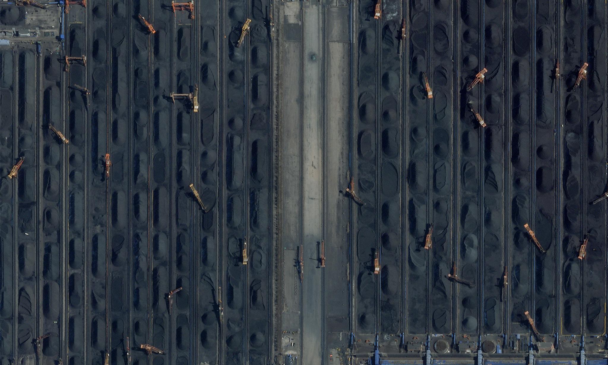
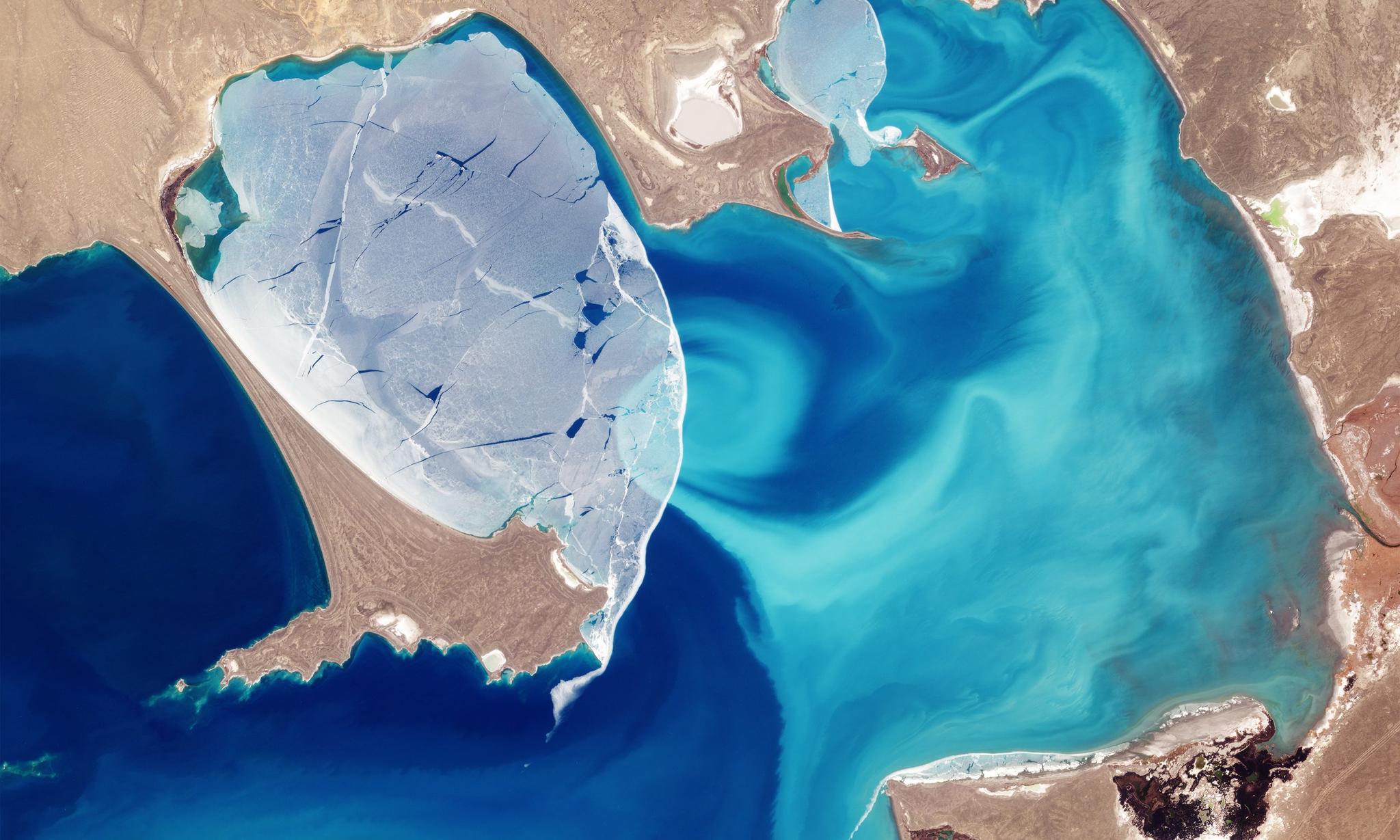
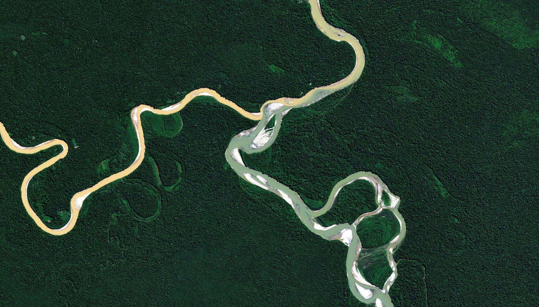
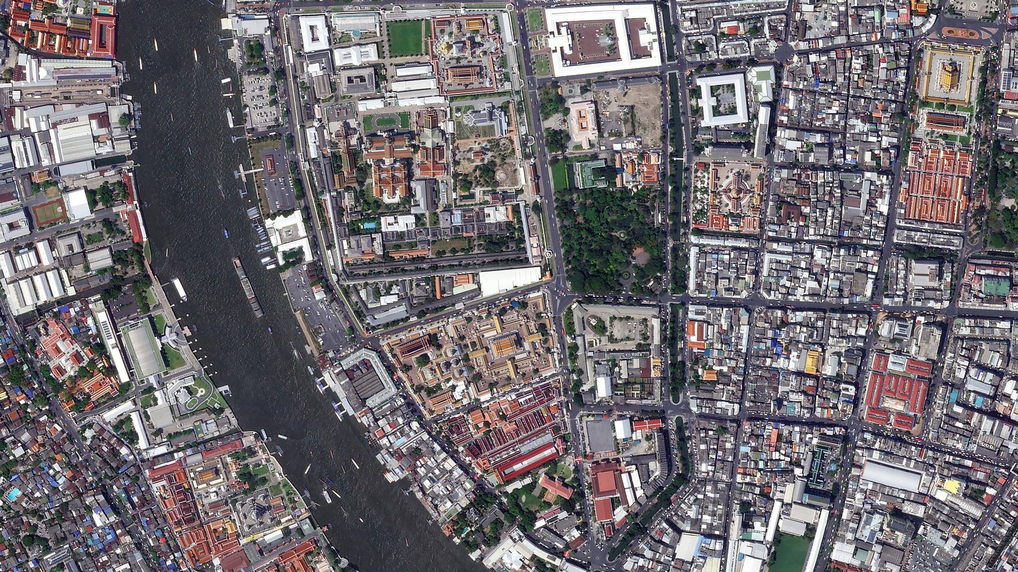
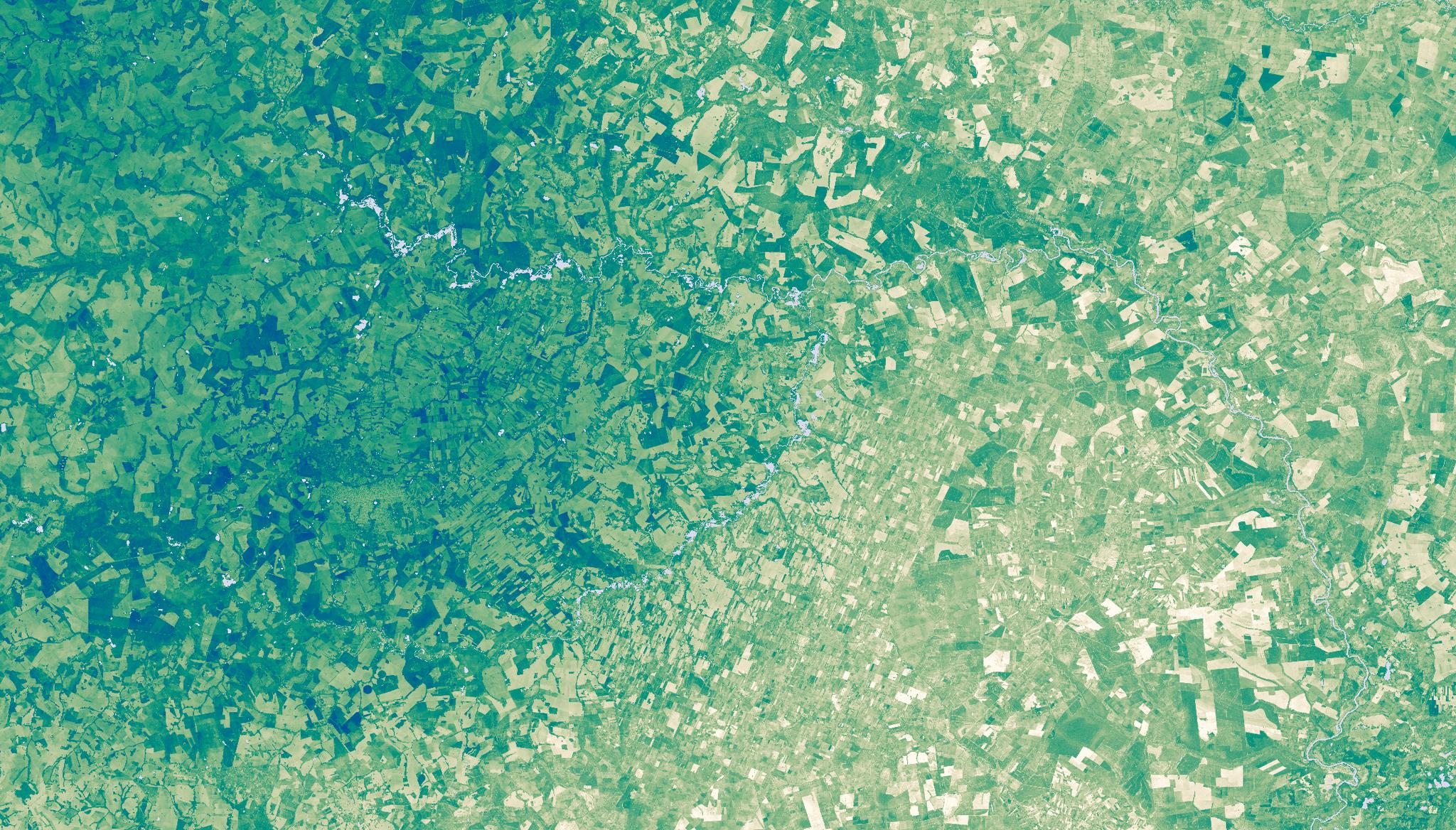
StoriesStoriesSnapshots of our World: Energy: Fossil Fuels + Iron Rivers + Current MysteryRyder Kimball |January 11, 2024|6 min readRead more
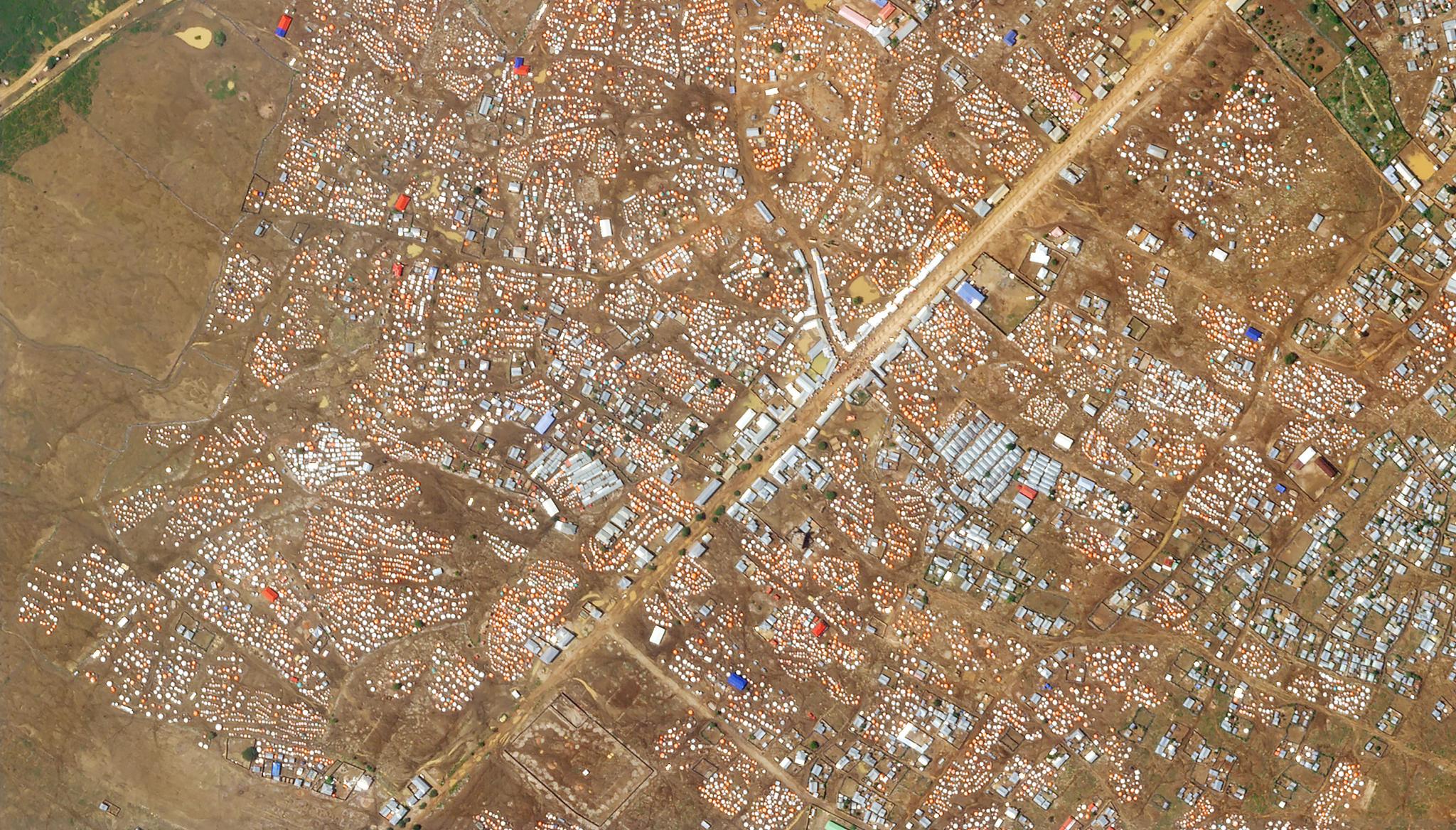
StoriesStoriesData Utilization is at the Heart of Governance: Conducting a Census of SomaliaMichael Grubb |December 20, 2023|7 min readRead more
NewsNewsScientists Showcase Global Discoveries Using Planet Data at World’s Largest Geospatial ConferenceJoe Mascaro |December 11, 2023|4 min readRead more
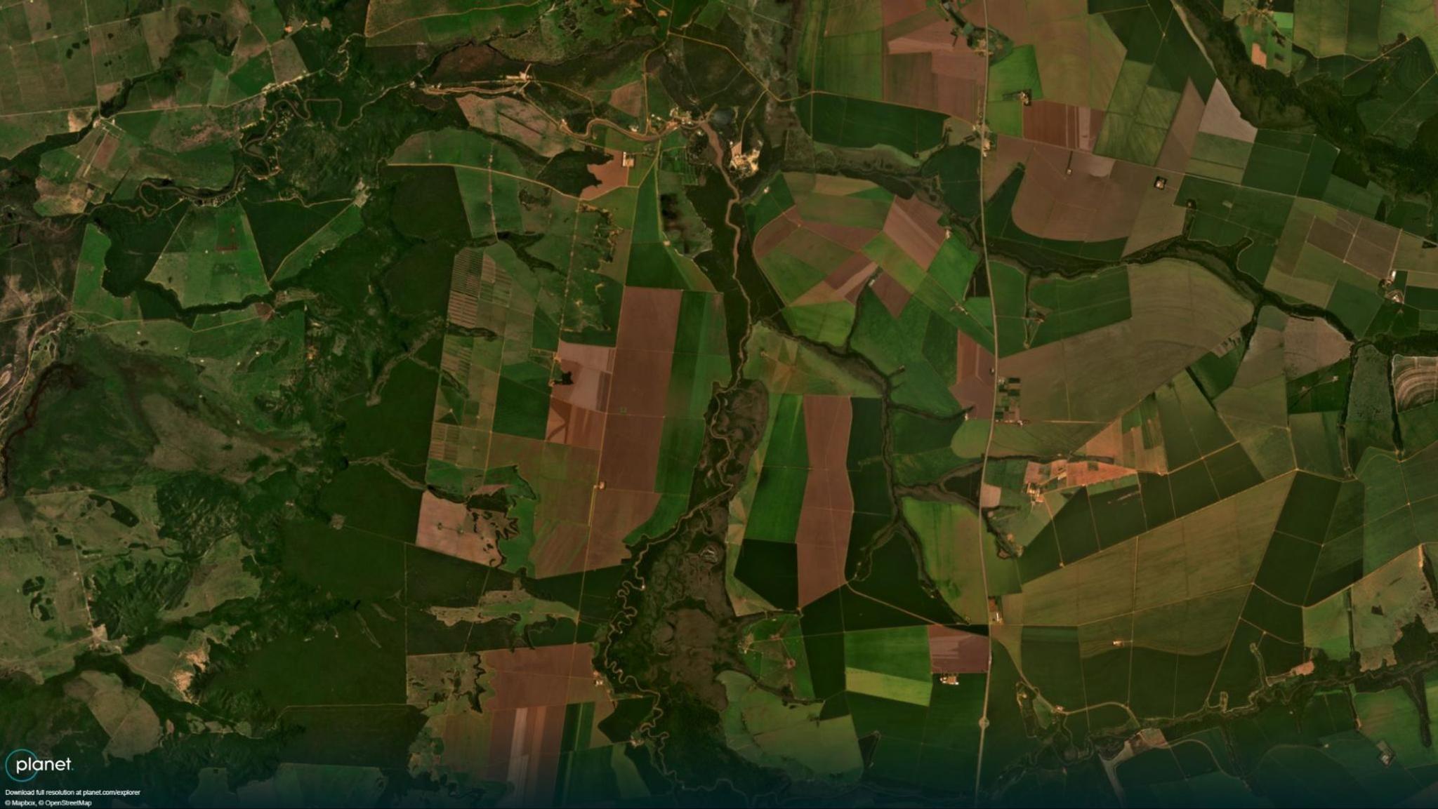
StoriesStoriesSyngenta: Pioneering the Fight Against Harmful Nematodes with Satellite DataPlanet Labs PBC |December 4, 2023|3 min readRead more
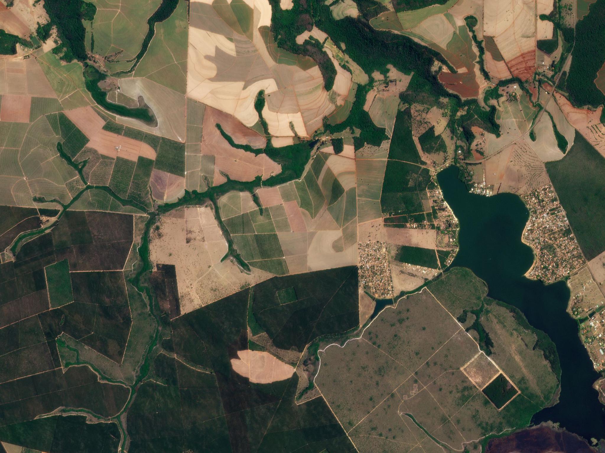
StoriesStoriesHow AMAGGI Uses Planet Data to Take Sustainable Agriculture to the Next LevelLina Torres |November 20, 2023|4 min readRead more
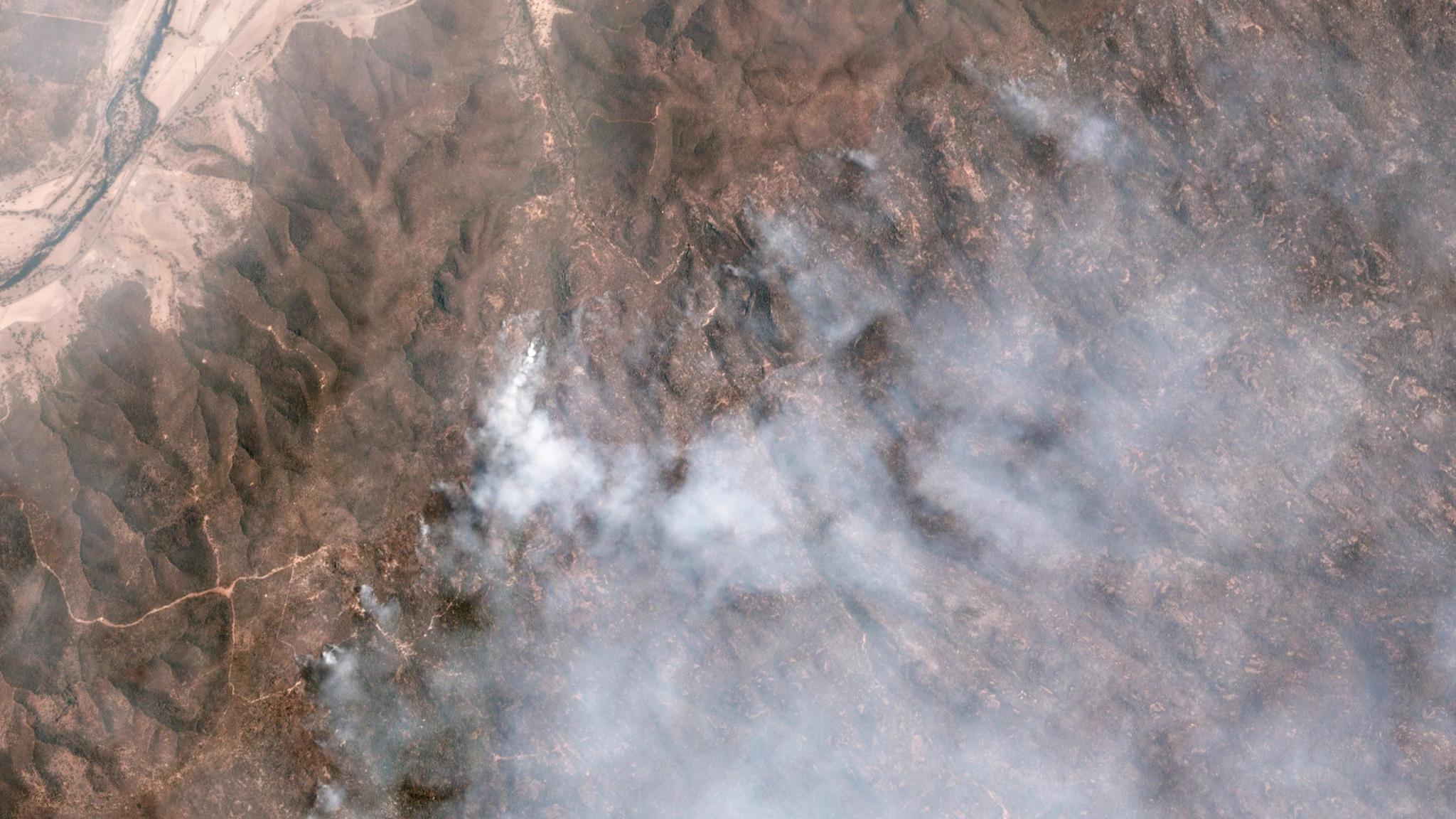
StoriesStoriesPlanet and NGIS Enable Emergency Services Preparation Ahead of Australia’s Fire SeasonPlanet Labs PBC |November 9, 2023|5 min readRead more
NewsNewsThe NICFI Satellite Data Program: Celebrating Three Years of Using Space to Help Reduce & Reverse Tropical Forest LossTara O'Shea |November 6, 2023|8 min readRead more
StoriesStoriesBuilding Bridges to Sustainability at Planet On The Road 2023Janeth Fule |November 1, 2023|7 min readRead more
StoriesStoriesR&D with Scientific Excellence: Stories from Planet’s EO LabRichard de Jeu |October 31, 2023|3 min readRead more