
Product Developments Revealed at Explore 19
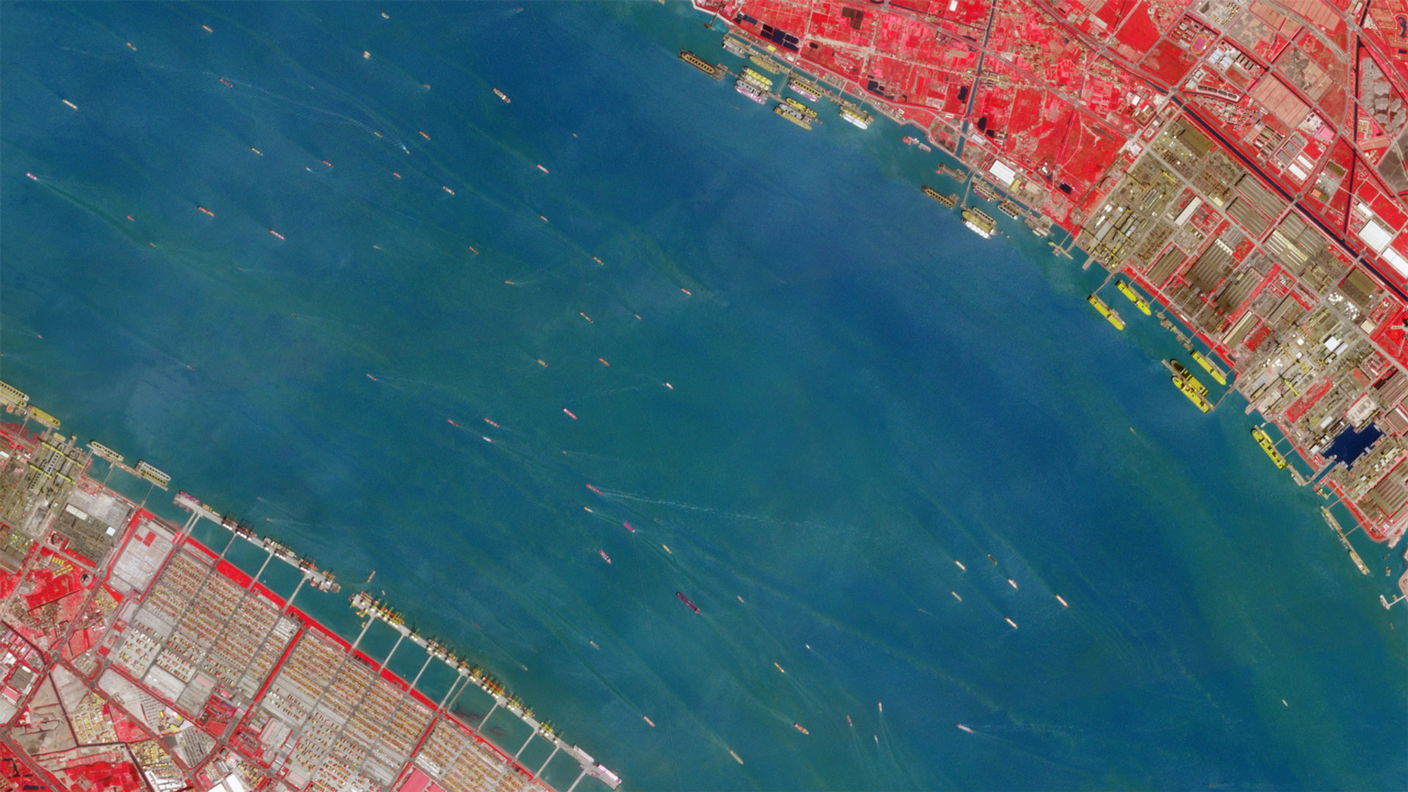
Near infrared data allows for better differentiation between water and other surfaces, unlocking the full potential of our objection detection analytics. // Imagery of Yangtze River, China on April 6, 2019 © 2019, Planet Labs Inc. All Rights Reserved.
NewsIn the Product Vision Keynote session, Planet Co-founder and Chief Strategy Officer Robbie Schingler, alongside Planet product managers, picked up where the opening session left off and introduced even more exciting product announcements. Here’s the breakdown: Planet Monitoring To help customers get access to the latest and greatest Next-Generation PlanetScope imagery, we have streamlined how customers download and access data. Our new ordering experience, available later this month, allows bulk downloads of our imagery rather than requiring customers to download individual assets, increasing efficiency and reducing costs. It also supports raster operations like band math and top of atmospheric reflectance, as well as direct delivery of the images to their cloud platforms of choice. Planet Tasking In addition to 50 cm SkySat imagery, we introduced new capabilities to get customers high-resolution data faster. On stage, we announced SkySat Fast-Track, a new capability, available today, which expedites the publication of a panchromatic (black and white) image within 2 to 3 hours after the data is downlinked from the ground station. With faster delivery, tactical decisions can be made for emergency management and disaster operations worldwide. This Fast-track capability is a foundational building block for 3D data, useful for volumetric analysis, deforestation monitoring, and right-of-way management for electric utilities. To put the power of tasking into the hands of our customers, we announced a new Tasking API and Tasking Dashboard. Generally available in late 2019, Flexible Tasking customers will be able to autonomously create, manage, and modify their tasking orders without a human in the loop. This is ideal for customers who need flexibility for where they task or need to task ad-hoc, and those who want orders with shorter turnaround time and have the technical chops to implement an area of interest. Integrations This past summer, we released the ArcGIS Pro add-on for Esri—allowing customers to easily access, view, and download Planet Basemaps from within their workflow. Now, with the next version of our Planet ArcGIS Pro Add-in, released later this year, users can unlock the power of high-cadence and high-resolution imagery by bringing PlanetScope and SkySat imagery into their workflows. Customers will be able to easily discover, stream, and download Planet imagery, perform seamless remote sensing analyses, compare imagery and other geospatial data, build models, and explore geo-statistical analysis and machine learning. Planet is launching an integration with QGIS, the leading open source GIS platform. To be released before the year's end, Planet QGIS users will be able to access, view, and download high-cadence and high-resolution PlanetScope and SkySat as well as imagery from the leading free satellite sensors like LandSat and Sentinel, all within their QGIS workflows. Users can leverage the rich geospatial capabilities of QGIS to perform remote sensing and spatial analysis on Planet imagery, compare it with other geospatial data, and create high-quality visualizations. Learn more and get early access to beta product releases by signing up here. If you want to learn more about Planet’s major product announcements from Explore— including 5 and 8 band Next Generation PlanetScope, 50cm high resolution SkySat imagery, global analytic feeds, and automated change detection—check out this morning's recap.
Ready to Get Started
Connect with a member of our Sales team. We'll help you find the right products and pricing for your needs.