PlanetScope Used to Map Tree Species in Urban Areas
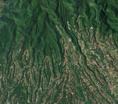
Image above: PlanetScope image of urban areas and green spaces in Zagreb, Croatia taken April 1, 2023. © 2023, Planet Labs PBC. All Rights Reserved. Many of us are familiar with that runny nose, itchy eye, and stuffy sinus sensation so often associated with seasonal allergies and the release of tree pollen. […]