
Seisan Partners With Planet to Solve Complex Business Problems Using Daily Satellite Imagery
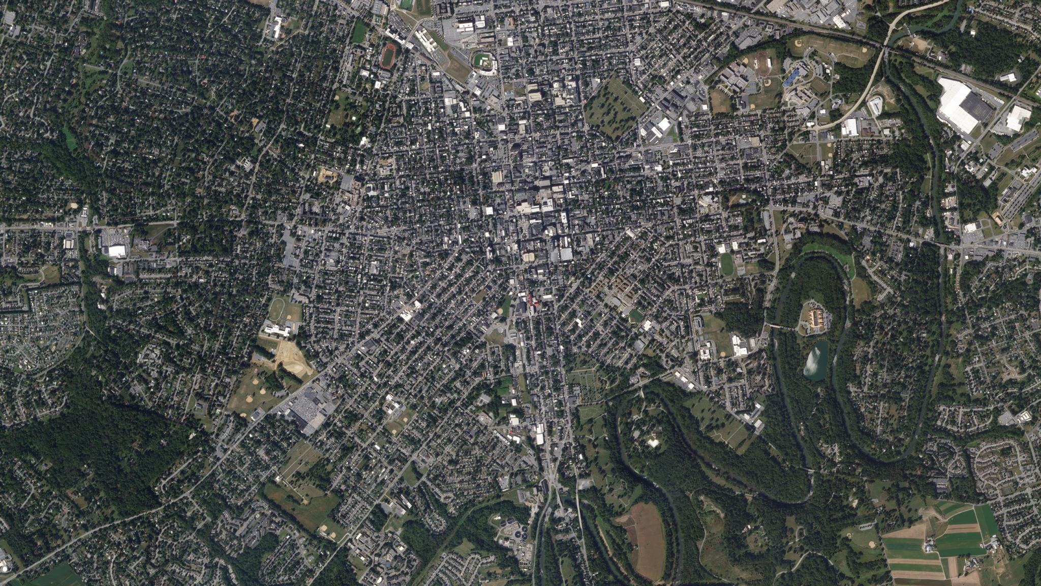
The Conestoga River meanders along the edge of historic Lancaster, Pennsylvania in this SkySat image collected on September 21, 2019. © 2019, Planet Labs Inc. All Rights Reserved.
StoriesLate last year we launched Planet Orbit, a new partner program that allows Planet partners to gain access to high temporal resolution geospatial data, create powerful solutions and differentiate their business.
Today we’re excited to announce our new partnership with Seisan, a custom software solutions and systems integration company specializing in leveraging geospatial technologies. By becoming a premiere Planet partner, Seisan can offer next-level competitive advantages and insights into many industry verticals.
Planet has redefined every aspect of the Earth imaging pipeline to quickly deliver actionable insights to users. Traditional satellite partners lack the ability to collect meaningful imagery at the speed in which Planet can. Leveraging this unique dataset, Seisan will be able to build machine learning imagery analysis along with traditional systems integration and data transformation techniques.
These software solutions will bring an unprecedented level of geospatial awareness that has been previously impossible to achieve. Integrating Planet geospatial data within an enterprise’s current technical environment will allow companies to gain greater insights from location data, leading to productivity savings, operational cost reductions and increased situational awareness.
“Seisan is excited to partner with Planet to help provide previously unattainable levels of imagery detail on a daily basis. We look forward to creating new opportunities to analyze geospatial information and unlock value for customers,” said Charles Durham, co-founder and president of Seisan.
“Data contained in an image gives far greater detail than what is currently available in traditional geospatial methodologies. With Planet’s extensive image archive, we can now go back in time to analyze historical data without the limitations of timed flight aerial photography. Seisan looks forward to utilizing Planet’s robust APIs to provide solutions that were never possible before.”
In the age of social media and the speed of technological advances, it is important to gain an edge wherever possible. By adding the elements of historical time lapse with the frequency of geospatial imagery and analysis, Seisan can utilize Planet data to provide enterprise quality and scalable solutions that will disrupt multiple sectors.
“At Planet, we image the Earth every day and deliver that data as a service with unmatched cadence and speed," said James DeCesare, Planet's head of partnerships for the Americas. "We're excited to combine our unmatched platform with Seisan's excellence in technology and innovation. Together, we'll develop high-quality solutions that deliver the immediate value required by today’s enterprise customers."
Ready to Get Started
Connect with a member of our Sales team. We'll help you find the right products and pricing for your needs.