NewsNewsExplore and analyze Planet imagery with Harris ENVIAlex Shih |June 5, 2017|2 min readRead more
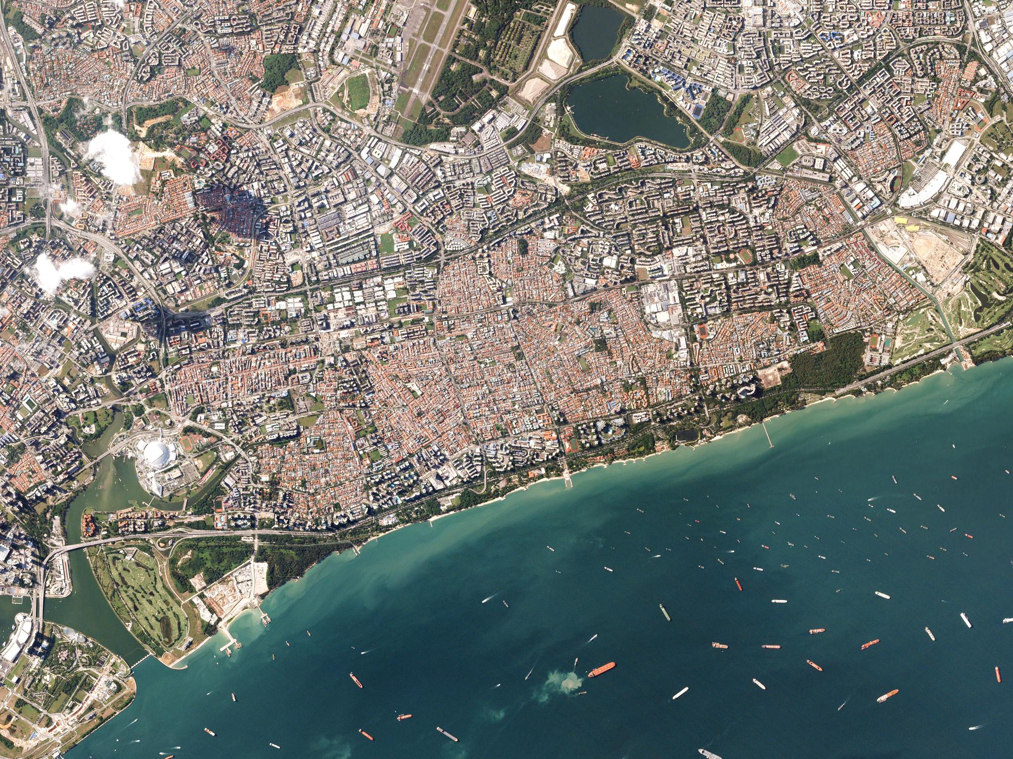
TechTechExperimenting with the Deep Data Stack: Ship CountingRobin Kraft |May 4, 2017|4 min readRead more