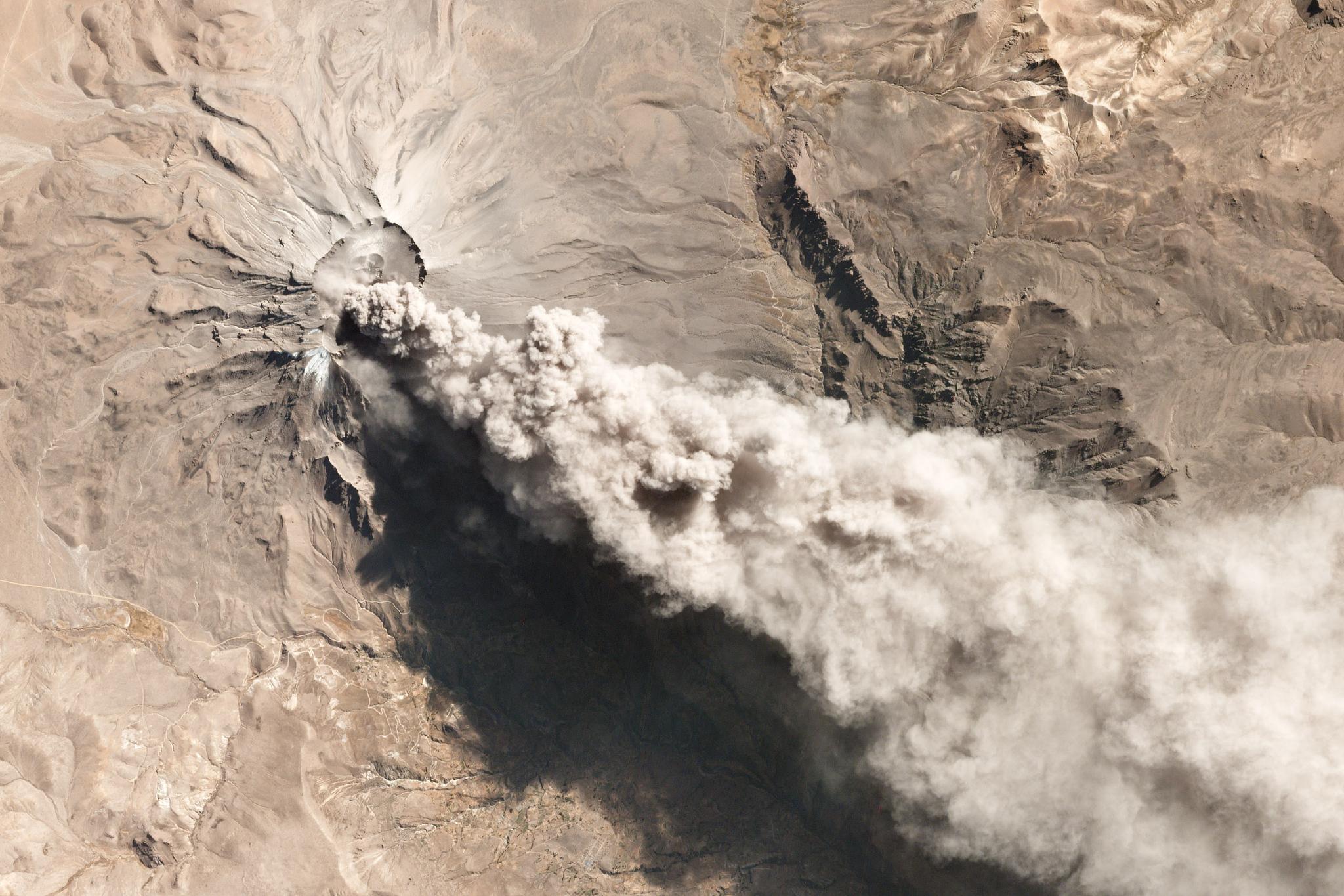
TechTechHow Satellite Imagery Can Help Predict Volcanic EruptionsRobert Simmon |July 31, 2019|6 min readRead more
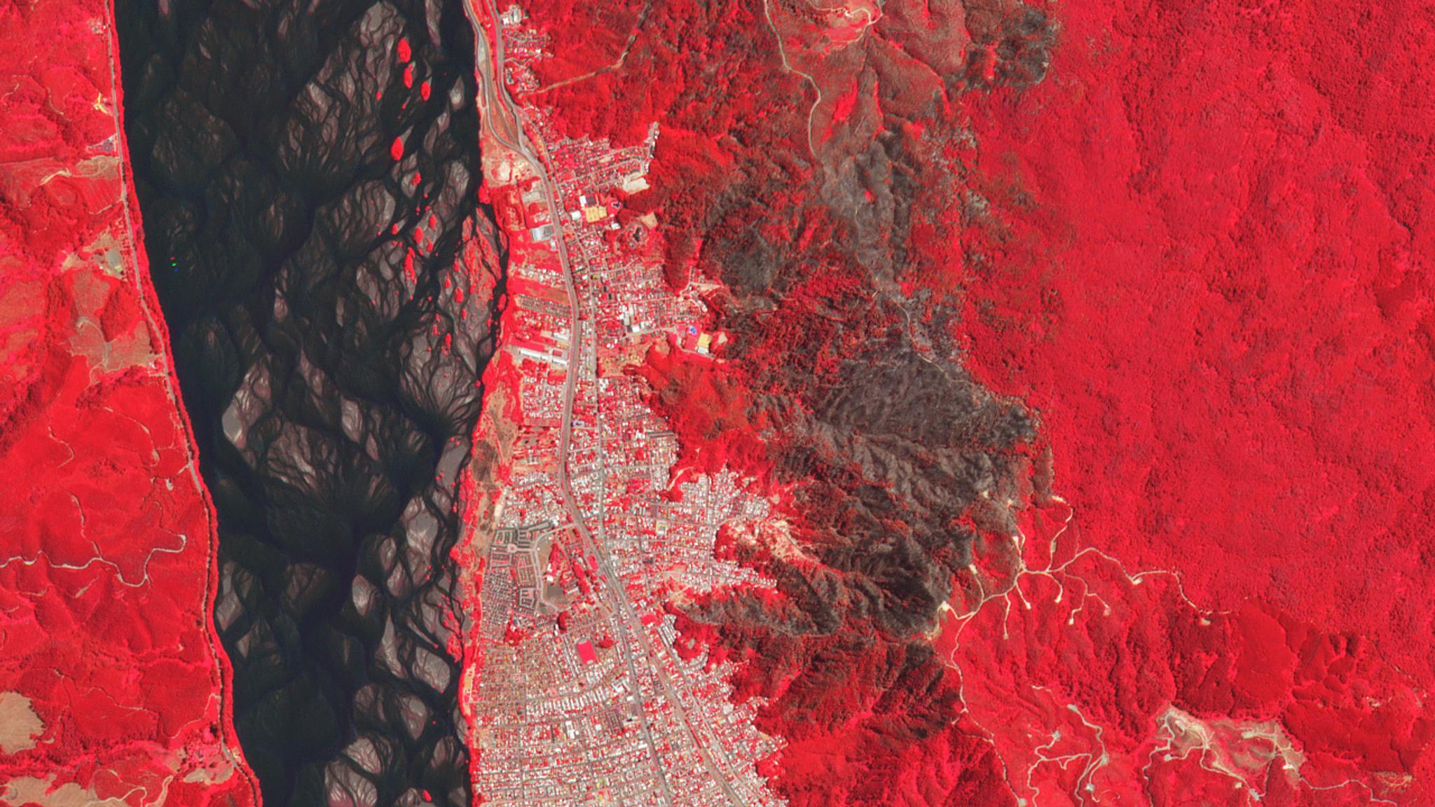
StoriesStoriesUNFAO and Planet SEPAL Collaboration Drives Conservation Solutions Across TropicsTara O'Shea |June 28, 2020|7 min readRead more