
How Planet Built a Cloud Native Geospatial Architecture
Planet’s mission from the beginning was to disrupt space. But the rise of cloud computing in Silicon Valley six years ago gave us another opportunity on the data side: to build our whole ground segment in a cloud native manner.
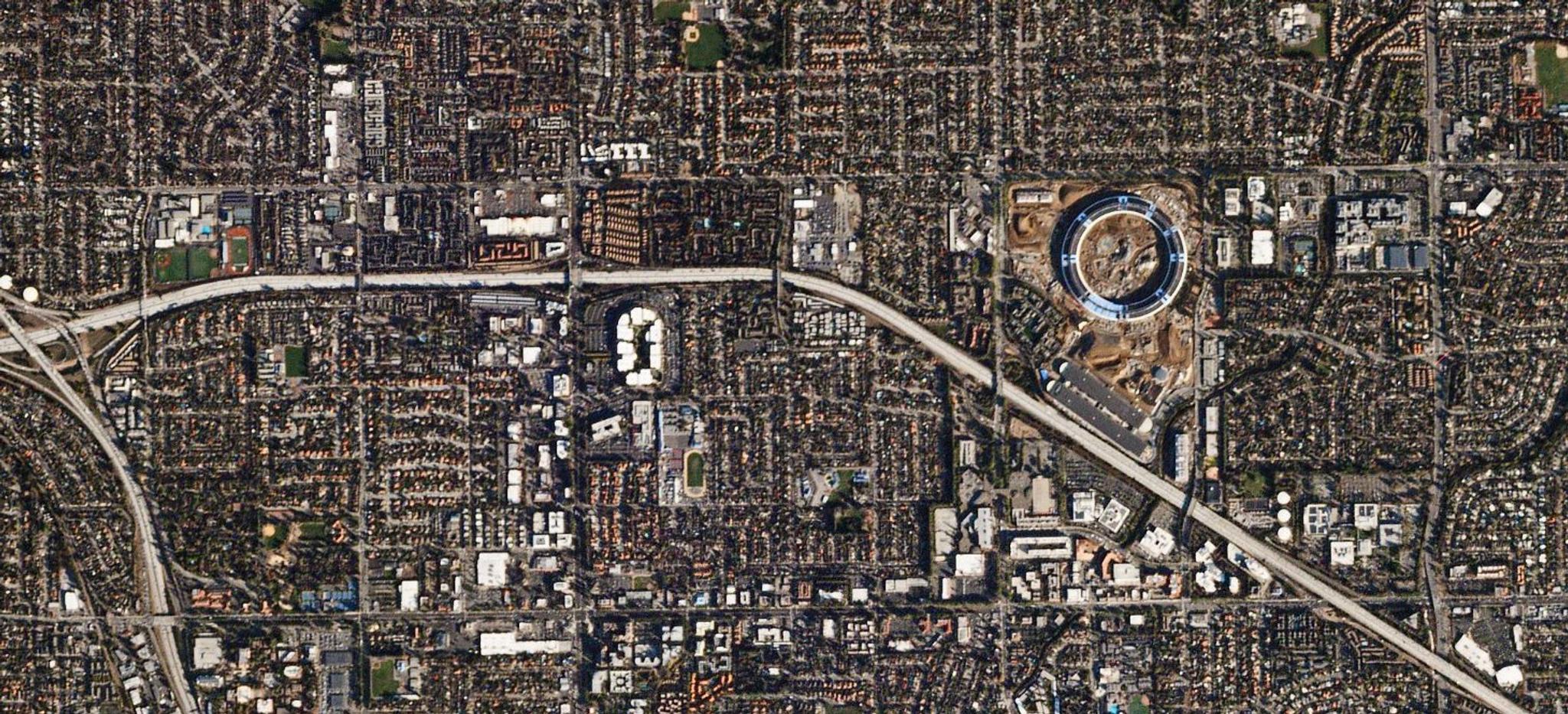
Everything Planet has built – from the ground stations and our data processing pipeline to web APIs and browser-based front-ends and now our analytic-derived data products – was designed first for the cloud. Over the years, we have helped our customers and partners move toward a cloud-first consumption model. And through building out all those components and working with different partners, it’s come to our attention that there’s a great deal of systems thinking and engineering that makes our approach fairly unique.
Our internal architecture runs 30,000 virtual machines at once to process millions of images every day on the cloud. Making the same architecture available to customers and partners enables them to add value to their customers at the same scale.
I recently wrapped up a seven-part series on Planet Stories that looks at the overall landscape and details Planet’s approach, which we call “Cloud Native Geospatial.” The core question that the first post asks is: “What would the geospatial landscape look like if we built everything from the ground up on the cloud?”
Although most software vendors offer a cloud version of their software, the main workflows have remained fundamentally static the past couple of decades. From a technology standpoint, doing everything on the cloud enables massive increases in scalability and speed, enabling analytics at a country and even global level.
Even more interesting is how Cloud Native Geospatial enables more collaboration between, increased ease in finding and accessing information, and an ability to process and understand information in near real time.
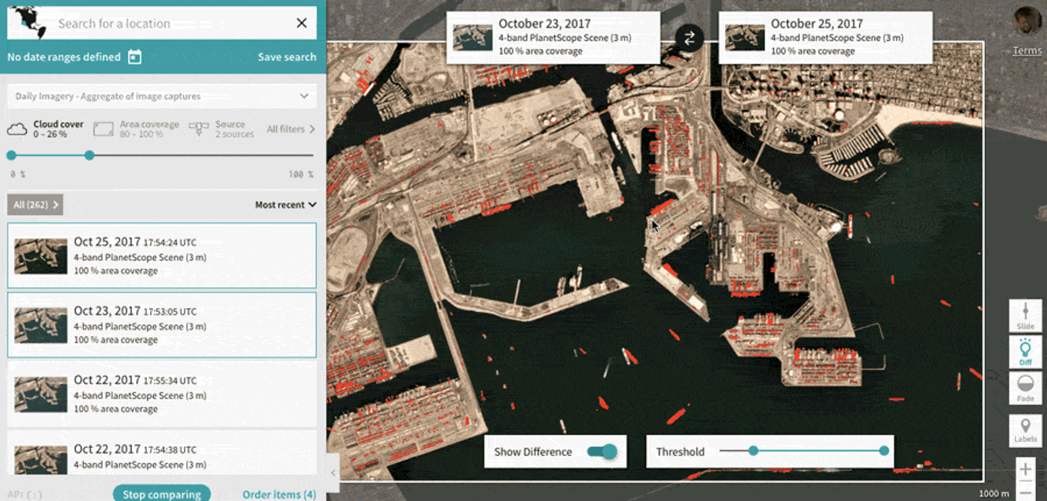
Every scene and mosaic in Planet’s catalog can be rendered instantly in an online "slippy" map. Using Planet Explorer, a user can move around and zoom in on places, like Long Beach port above, before ordering any imagery.
From there the series explores the Cloud Optimized GeoTIFF, a file format that Planet uses extensively to stream data to users and serves as the main building block of Cloud Native Geospatial Architectures.
I argue that the Cloud Optimized GeoTIFF is the most important enabling technology for cloud native geospatial. To help readers understand what Cloud Native Geospatial means in practical terms, the next posts offer a deep dive into Planet’s architecture as well as Open Aerial Map’s, and then places the main tenets of those architectures into a clear definition of cloud native geospatial.
The series closes out with my thoughts on the opportunity to get metadata and data provenance right in the cloud, and presents a vision for a robust ecosystem of diverse but interoperable Cloud Native Geospatial architectures.
We hope this series gives insight into how we’ve been thinking about a cloud native approach and what we’ve been building. We look forward to more collaboration with others in the geospatial industry to usher in an age where people spend their time focused on the actual problems, instead of all the pains and manual labor dealing with large amounts of special data. Read the full series, and share your thoughts or experiences with cloud-native geospatial.
Ready to Get Started
Connect with a member of our Sales team. We'll help you find the right products and pricing for your needs.