
Energy Basemaps: Weekly Snapshots Driving Better Decisions
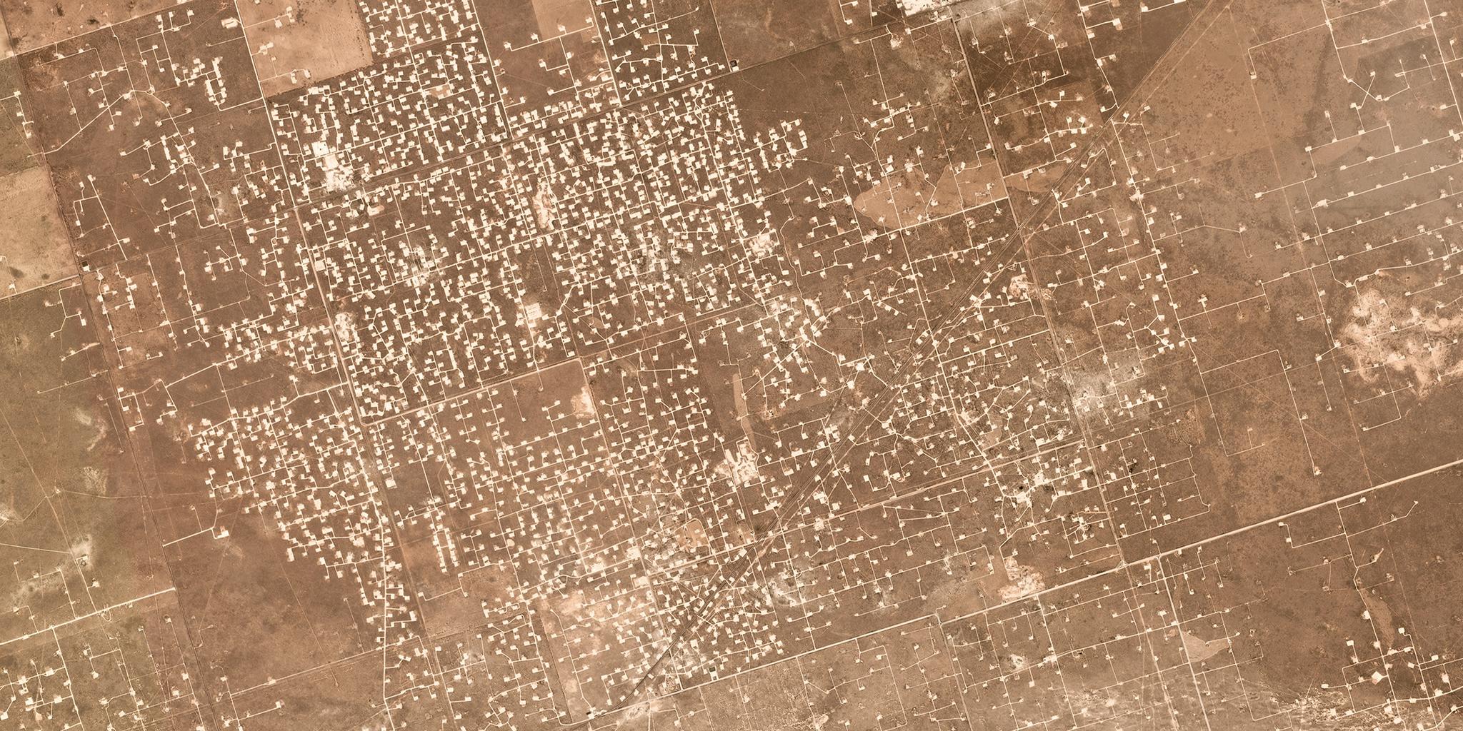
The energy industry has seen an unprecedented amount of growth in the last six years - solar power capacity has increased 15x, wind energy has increased 1.8x to account for nearly 6.5% of total electricity consumption - and the oil and gas industry is no different. US Field Production levels are as high as they were in the 1970s and are continually growing at over 10,000 barrels per day, similar to Saudi Arabia. But this isn’t a story about renewables or energy independence. Before either of those can accelerate, we need to ensure the right decisions are being made across all levels of the sector - from our Federal Energy Policy, individual operators and developers, and mineral management firms. We set out to help industry leaders obtain the most accurate picture of an active oil & gas landscape by creating a high cadence imagery product - we call it Weekly Basemaps. Our weekly basemaps provide users with a current and complete view of key energy resource regions, like the Permian Basin. They allow stakeholders to detect and map new oil and gas developments in near-real-time, gain insights into key problems that are arising, and monitor production sites, roads, pipelines, and other infrastructure changes. With our weekly basemaps, we’re taking a new approach to traditional imagery products and services. Our constellation of over 140 satellites captures medium resolution imagery of the entire Earth’s surface each day, and high resolution imagery twice daily. With up to 28 potential opportunities a week, we have the greatest chance to capture a cloud-free image of any region. [caption id="attachment_143236" align="aligncenter" width="1024"]

Ready to Get Started
Connect with a member of our Sales team. We'll help you find the right products and pricing for your needs.