
Geospatial intelligence for the Energy sector
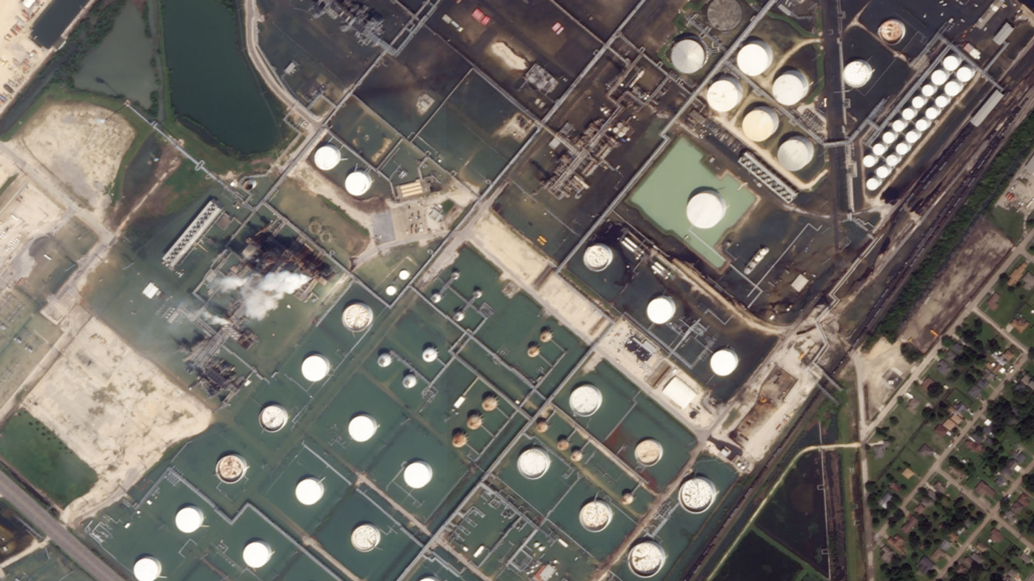
Port Arthur, which houses the largest U.S. oil refinery, pictured via Planet's satellites after Hurricane Harvey in August 2017 © 2017, Planet Labs Inc. All Rights Reserved.
NewsFrom price fluctuations and delayed estimates to pipeline leaks and construction setbacks, it’s been a tumultuous year for energy operators and traders. Assets are distributed and difficult to manage, projects are frequently delayed or blocked, and energy commodities are as volatile as ever. Though more and more data is available, uncertainty in the market persists. To address this unpredictability, early adopters in the energy sector are using global, daily satellite imagery and advanced geoanalytics to develop a true sense of what’s happening on the ground near the assets and investments they care about.
Ready to Get Started
Connect with a member of our Sales team. We'll help you find the right products and pricing for your needs.