
How Satellite Data Can Help with COVID-19 and Beyond
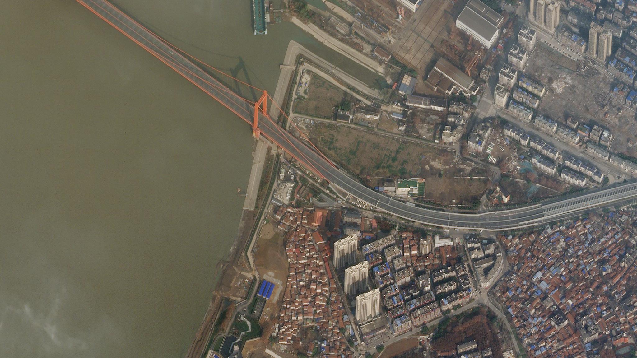
Planet imagery of the empty Yingwuzhou Yangtze River Bridge on January 28, 2020 during the COVID-19 lockdown in Wuhan, China. © 2020, Planet Labs Inc. All Rights Reserved.
StoriesIn a world turned upside-down by the global COVID-19 pandemic, we at Planet are regularly asked how daily satellite monitoring of the Earth might be helpful. We’d like to share some perspective with you about the role satellite imagery and analytics can play in responding to disease outbreaks in general, and to the current pandemic in particular, as well as some of what Planet will be doing to help in the months to come.
Viruses aren’t visible to the naked eye, let alone to a satellite orbiting hundreds of kilometers in space. Still, there are important “proxy indicators” that satellites can see that are helpful in modeling, monitoring, responding to and recovering from infectious disease outbreaks.
Such outbreaks tend to be place-based: they emerge and cluster in certain places and in certain contexts, and are transmitted along certain pathways. As such, geospatial data is becoming an essential tool for infectious disease modeling.
“High-quality geospatial data enables dynamic and statistical models to provide setting-specific characterization of disease transmission, risk factors and forecasts of pathogen prevalence,” notes our colleague Josh L. Proctor, principal scientist at the Institute for Disease Modeling in Seattle. “This is particularly true in low-and-middle income countries, when there is often a lack of high-fidelity, electronic health record systems.”
Once the dynamics of a disease are modeled and understood, satellite imagery can be used to monitor places where it is more likely to emerge, or to look for the prevalence of certain risk-factors. For example, many novel viral illnesses, like SARS, MERS and the current COVID-19 coronavirus are zoonotic — so-called because they jump between animals and humans. Around 60 percent of all human diseases and around 75 percent of emerging infectious diseases are zoonotic.
One way to detect where new zoonotic illnesses like COVID-19 might arise is to monitor those places where human beings either directly or indirectly come into contact with wildlife. Often, this happens where human beings are changing the landscape, turning forests into pasture land for animals or fields for agriculture.
As humans continue to squeeze the habitats of wild animals, the possibility increases that a virus found, for instance, in bats or birds, will migrate either directly to human beings or indirectly to us through our livestock. We can observe where human beings are changing the land in this way from space.
Satellite monitoring of land-use change is used to target public health surveillance today. We can also see where climate change is changing the risk of transmission of illnesses. The Zika virus, for instance, is carried by mosquitoes, and as the climate warms, its habitat is expanding both northward and southward away from the tropics, while its window of seasonality is also expanding. We can monitor the effects of climate change with satellites and get a good indication of when, where and how long human beings might be at risk of transmission.
We can also use space to more effectively target our responses to infectious diseases. For example, onchocerciasis, or “river blindness,” is a neglected tropical disease that has infected more than 20 million people and blinded nearly a million. It is transmitted through black flies that breed along fast-flowing rivers and streams, often in remote communities.
Because we can detect when rivers are flowing with real-time satellite imagery, we can see precisely when and where the risk of parasitic transmission is high, and help dispatch front line health workers where and when they are needed most. We are currently beginning a program to do just that with the END Fund/Reaching the Last Mile Fund, a major player working on eliminating these kinds of diseases.
Satellite imagery helps health organizations plan for pandemic response in other ways too. For instance, Planet has developed advanced analytical feeds which automatically identify roads and buildings in our satellite imagery. These tools can help identify populations which might be at risk of exposure to an illness but which are not on other maps.
Similarly, satellite imagery can help situate and track the construction of testing and health facilities, mobilization centers, new hospitals and other public health infrastructure which may be essential in the context of responding to an outbreak.
Planet will be working with the United Nations, governments, other international health actors and technical partners in the months to come to help ensure these insights inform COVID-19 risk measurement and response efforts in resource- and information-poor settings. The COVID-19 pandemic is also a global phenomenon in terms of the Earth itself. Never before have we shuttered so many of the world’s most industrialized countries so quickly—and that, in turn, has had an impact on climate emissions, pollution, fresh water and countless planetary variables.
NASA has recently announced a special program under which researchers may either refocus existing research projects or initiate funding requests for new projects to assess the environmental, economic and/or societal impacts of the COVID-19 pandemic. Researchers funded under this program will have access to Earth observation imagery from NASA and from NASA’s data partners, including imagery from Planet.
Finally, by tracking the movements of goods in ports and elsewhere, satellite imagery can also be used to measure the economic impacts of an outbreak and its pace of eventual recovery. Today, many economic indicators lag well-behind actual behavior, and only tell an aggregate story; real-time geospatial data can help accelerate and focus recovery efforts. We are exploring ways in which we can do this in the months to come, as nations respond and recover from the pandemic.
The journey ahead on COVID-19 and related public health challenges will not be brief; it will unfold over the next few years at least. Throughout, our goal will be to ensure that Planet’s unique dataset and capabilities have the greatest impact on reducing suffering, accelerating recovery and building future resilience. We are committed to supporting our U.S. government and other partners in this mission, and will have more announcements soon. We are all in this together.
Ready to Get Started
Connect with a member of our Sales team. We'll help you find the right products and pricing for your needs.