Search


Planet Analytic Feeds: Satellite Imagery Analysis and Insight
Harness the power of high cadence, global imagery with Planet's automated, cloud-based Analytic Feeds.
What It Is
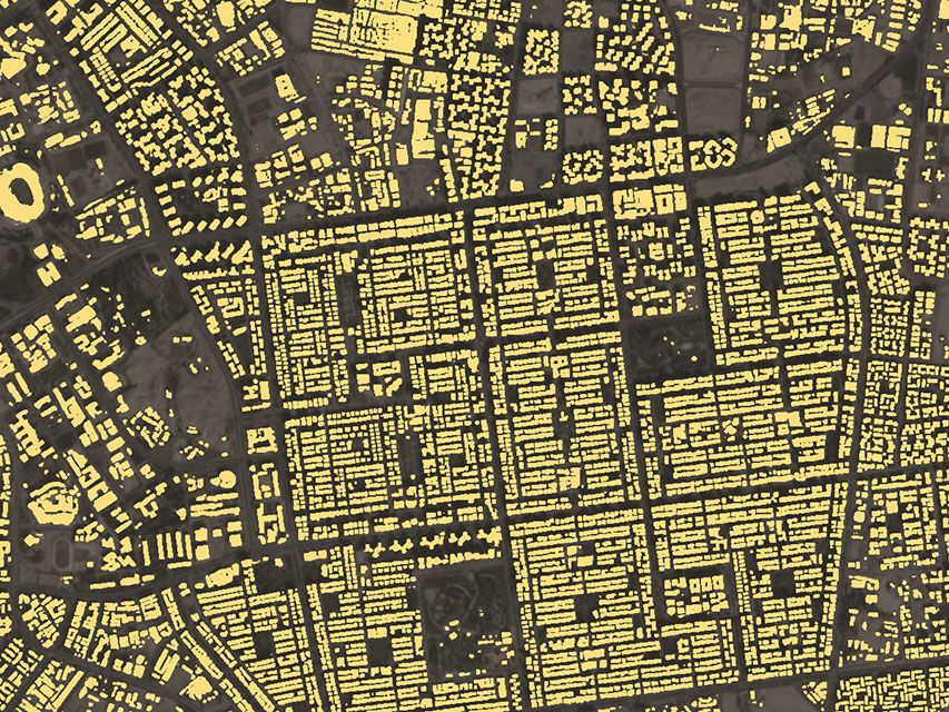
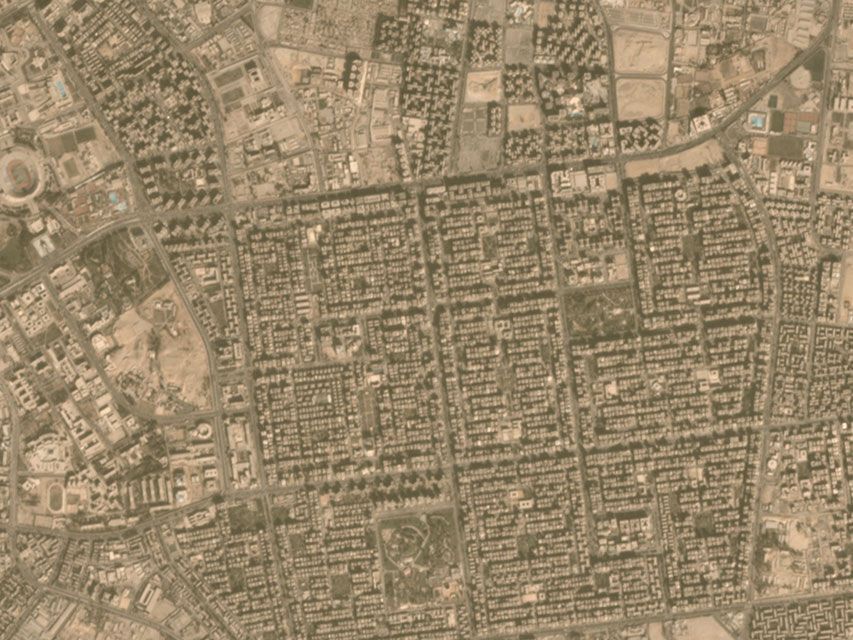
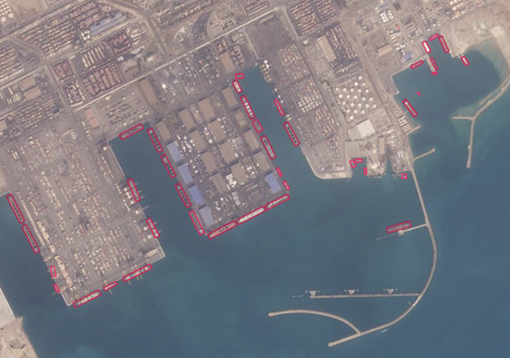
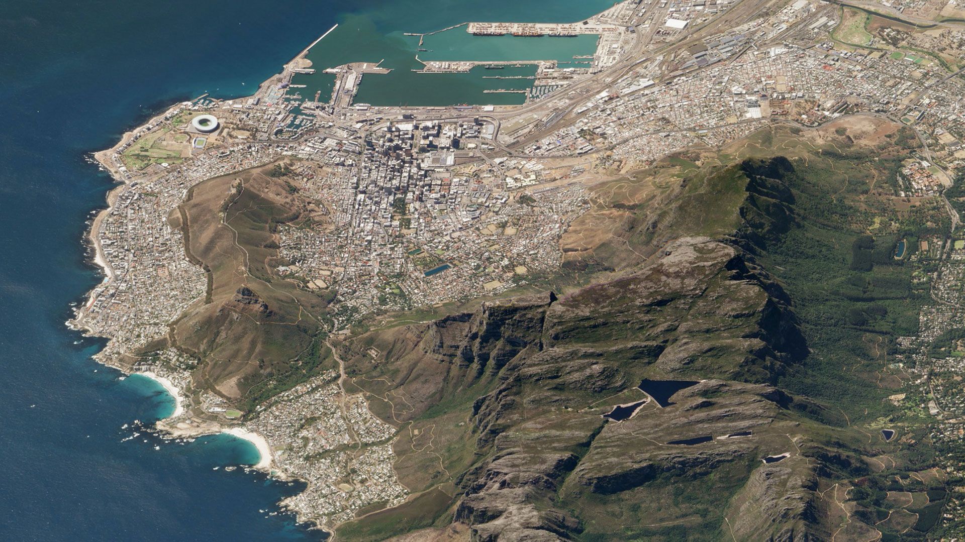
Planet Analytics Transforms Global, Daily Imagery into Insight
© 2026 Planet Labs PBC. All rights reserved.
| Privacy Policy | California Privacy Notice |California Do Not Sell
Your Privacy Choices | Cookie Notice | Terms of Use | Sitemap