Journalists Use Satellite Data to Track Pollution, Kim Jong-Un and More During COVID-19 Pandemic

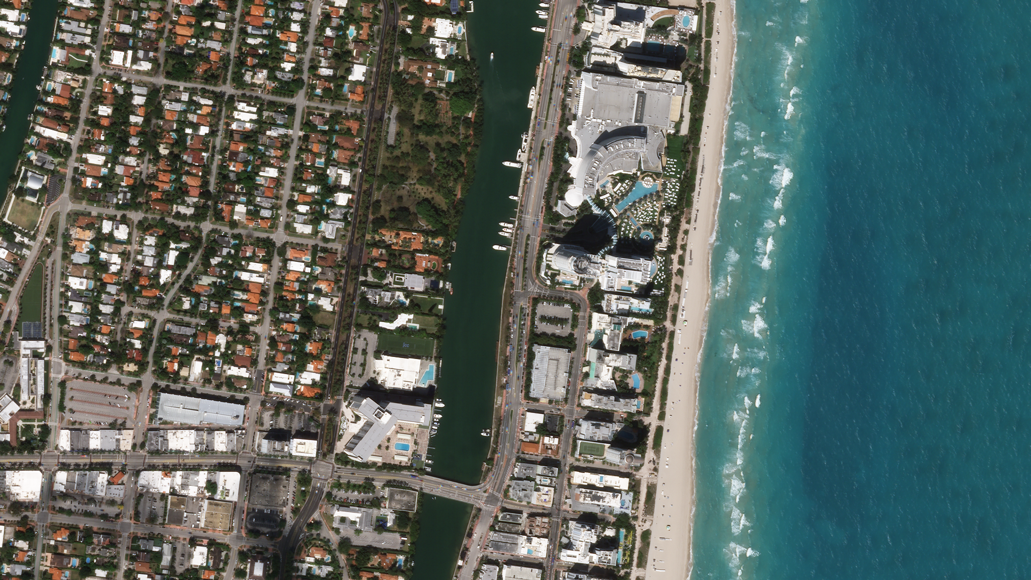
Planet imagery shows a deserted Miami Beach in Florida following COVID-19 closures. © 2020, Planet Labs Inc. All Rights Reserved.
NewsJournalists are using satellite imagery to discover and share visual indicators of the COVID-19 pandemic, providing timely information that can help people make better decisions about global issues.
“The first folks that were asking for Planet data were the news media, who were just trying to understand [what’s happening on the ground], especially since they can’t send journalists [out on location] anymore,” said Planet CEO Will Marshall in a video interview with Bloomberg Businessweek’s Hello World.
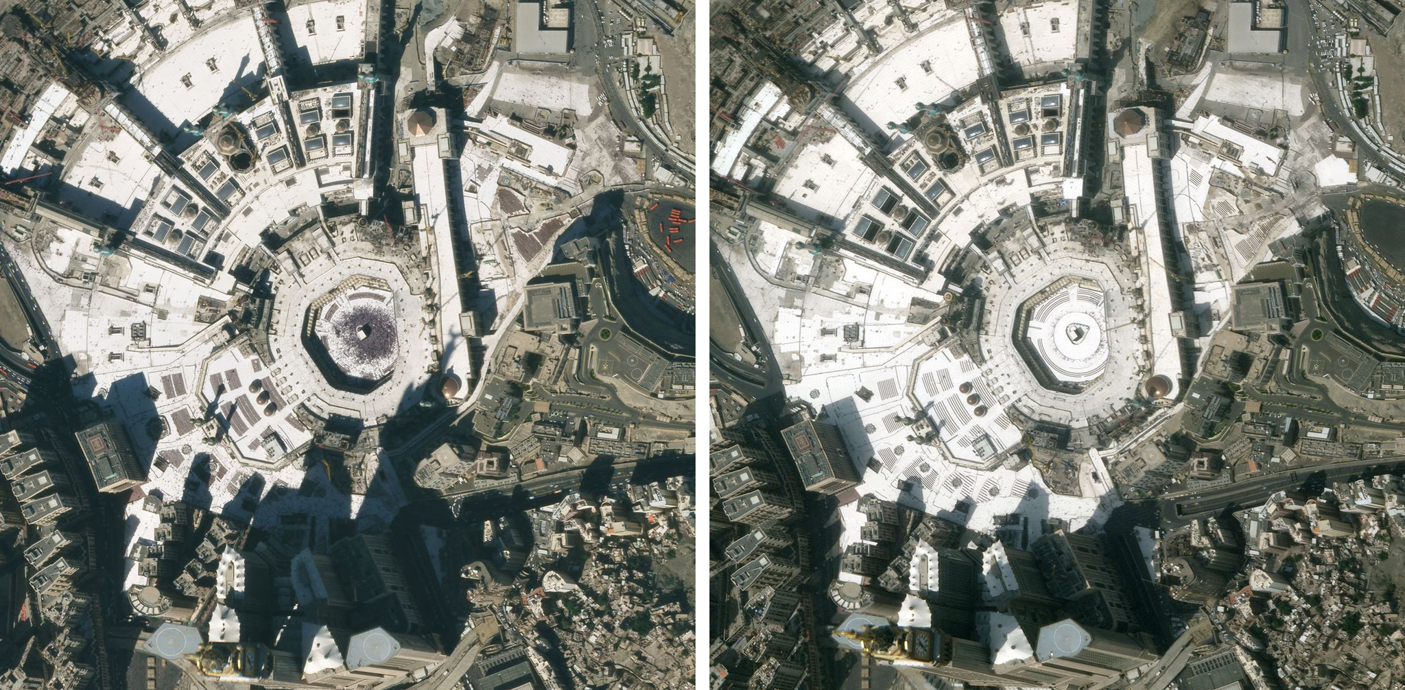
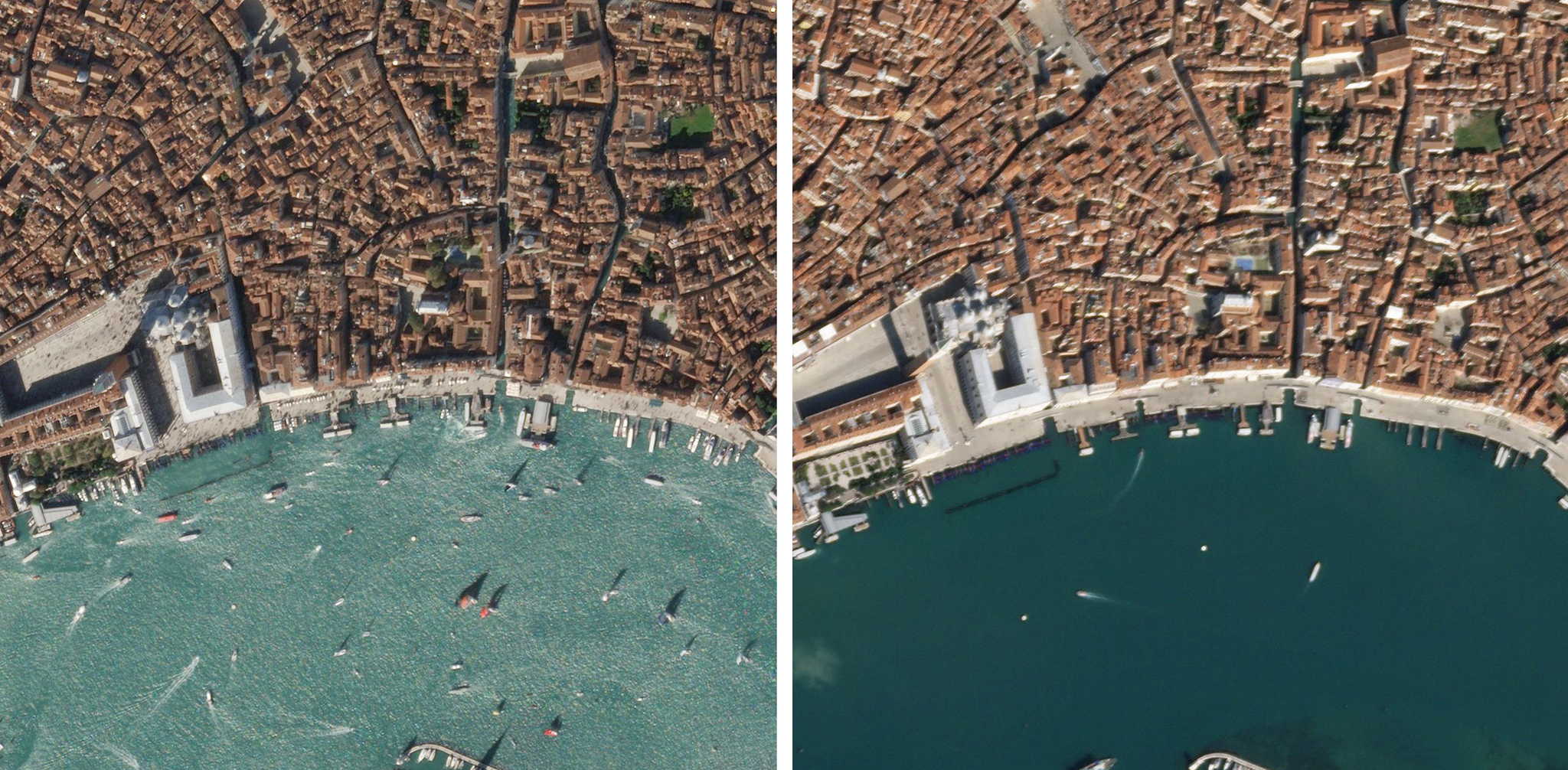
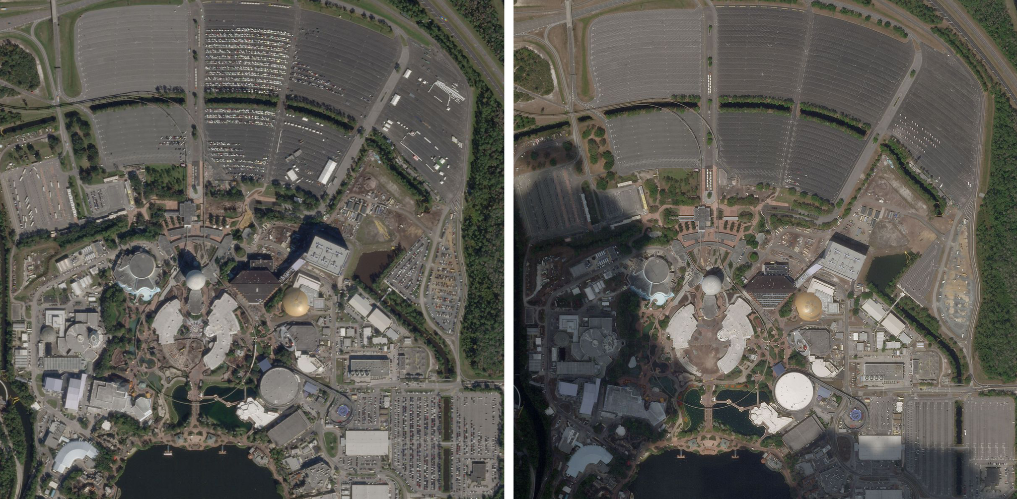
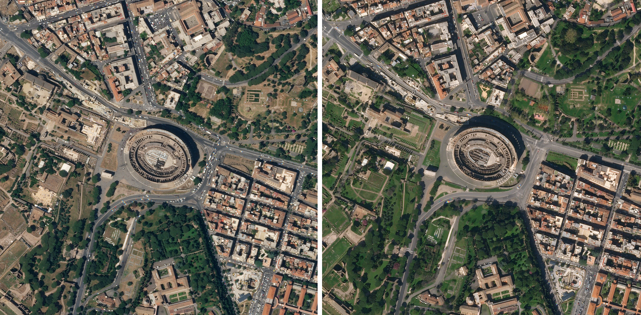
BBC, Bloomberg Green, KQED, CNBC, Axios, Forbes, the Financial Times and more used satellite imagery to show how the Earth’s landscape and activities have changed due to the pandemic.
As Planet’s chief technologist and director of research Creon Levit told Wired, Planet can use images to create a kind of "time machine.” “If we want to know what happened two weeks ago,” Levit says, “We can go look.”
.
.
.
.