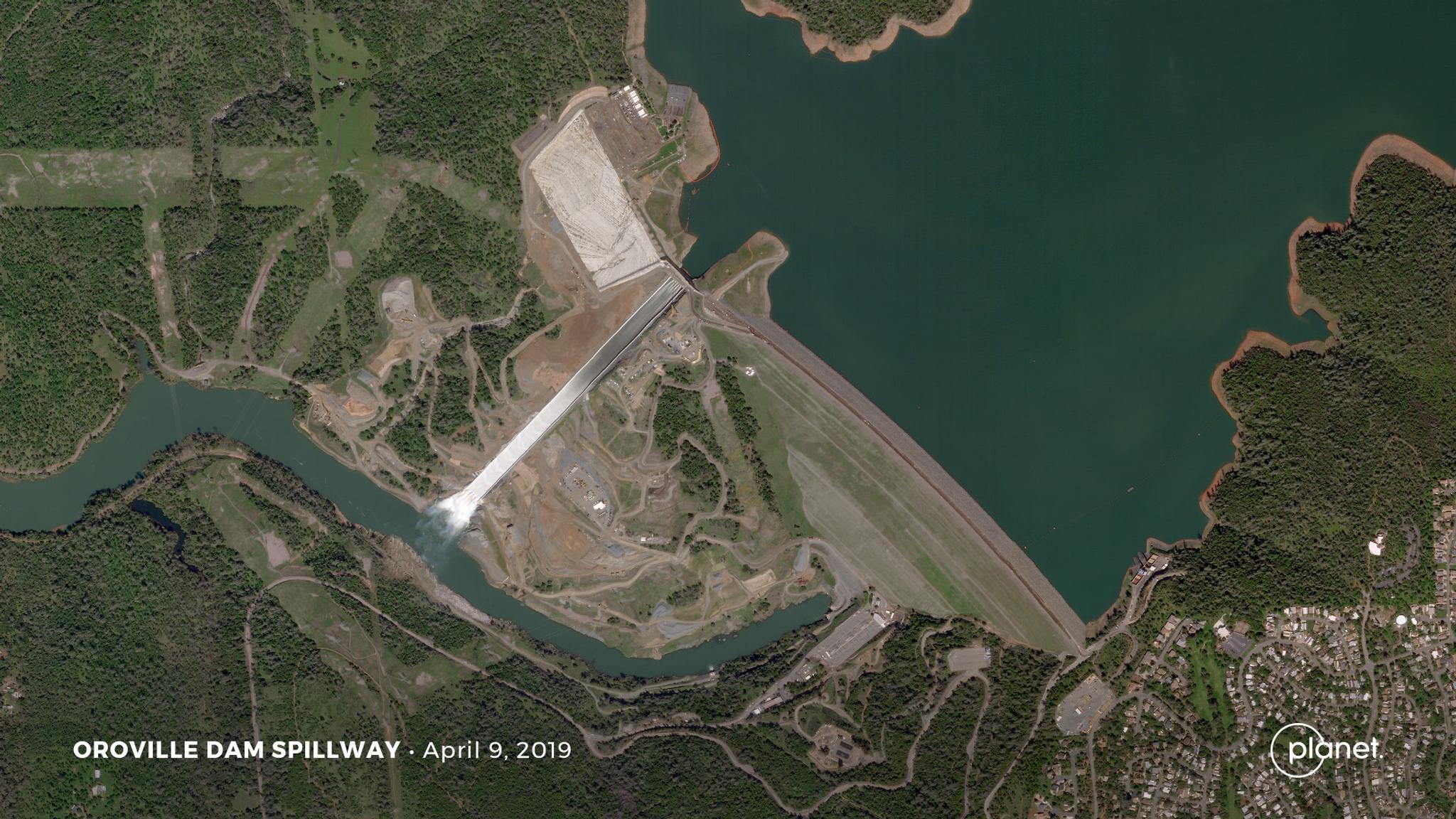
TechTechPlanet Announces More Spectral Bands, 50 cm Resolution, Global Analytics, and Change DetectionPlanet |October 15, 2019|3 min readRead more
StoriesStoriesIntroducing Planet Orbit: Planet’s New Partner ProgramDeepthi Shankar |October 14, 2019|3 min readRead more
NewsNewsProfessional Services: Helping Customers Unlock Their Full PotentialDeepthi Shankar |September 30, 2019|3 min readRead more
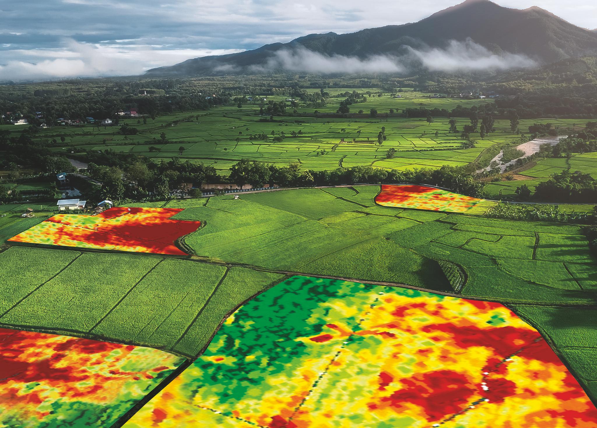
StoriesStoriesHow Precision Agriculture Can Change Farming’s Financial LandscapeZara Khan |September 26, 2019|3 min readRead more
NewsNewsMichael Bloomberg, State of California and Planet Partner to Deliver New Satellite Climate Data SolutionsWill Marshall |September 25, 2019|5 min readRead more
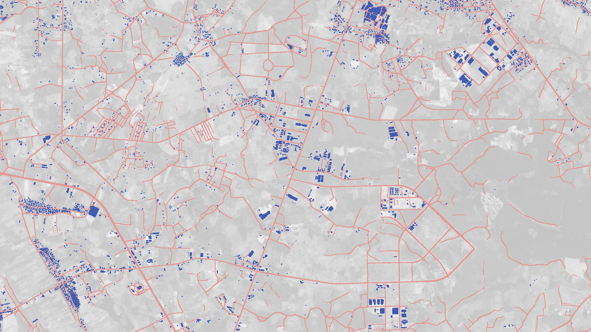
StoriesStoriesMapping All of Earth’s Roads and Buildings from SpaceMatt George |September 24, 2019|6 min readRead more
StoriesStoriesABC, 123: Back to Basics with Planet in 2019Sarah Bates |September 23, 2019|5 min readRead more
NewsNewsPlanet Satellites Bolster FAO's Geospatial ToolkitAndrew Zolli |September 23, 2019|5 min readRead more
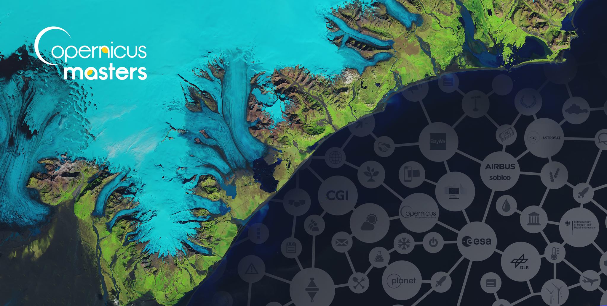
NewsNewsPlanet Names Top Three Finalists Of The Planet Daily Change Challenge, Part Of Copernicus MastersAgnieszka Lukaszczyk |September 18, 2019|3 min readRead more
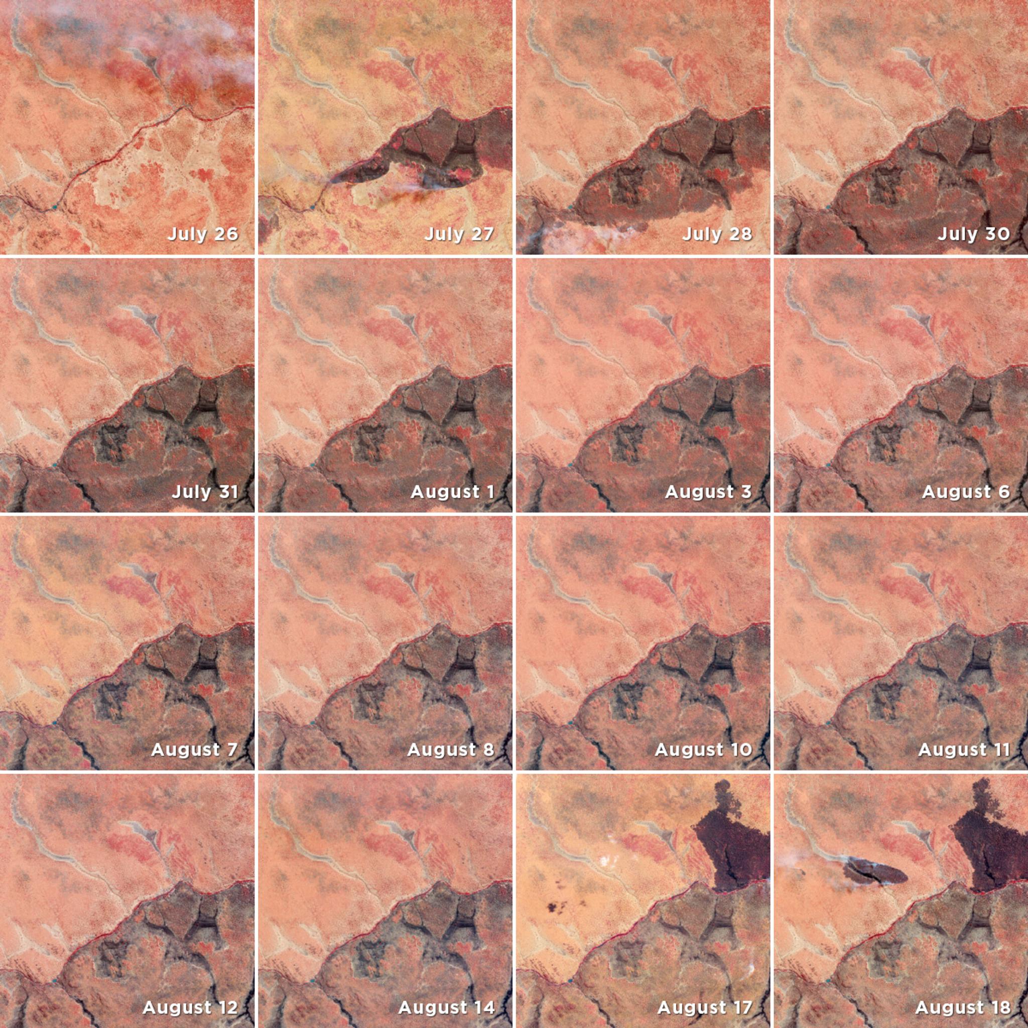
TechTechWhat is Rapid Revisit and Why Does it Matter?James Mason |September 16, 2019|4 min readRead more
TechTechThe Countdown to Planet's Explore 19 Conference is OnHilary Salazar |September 11, 2019|3 min readRead more
NewsNewsMeet Martin Van Ryswyk: Planet's New SVP of ProductWill Marshall |September 9, 2019|2 min readRead more