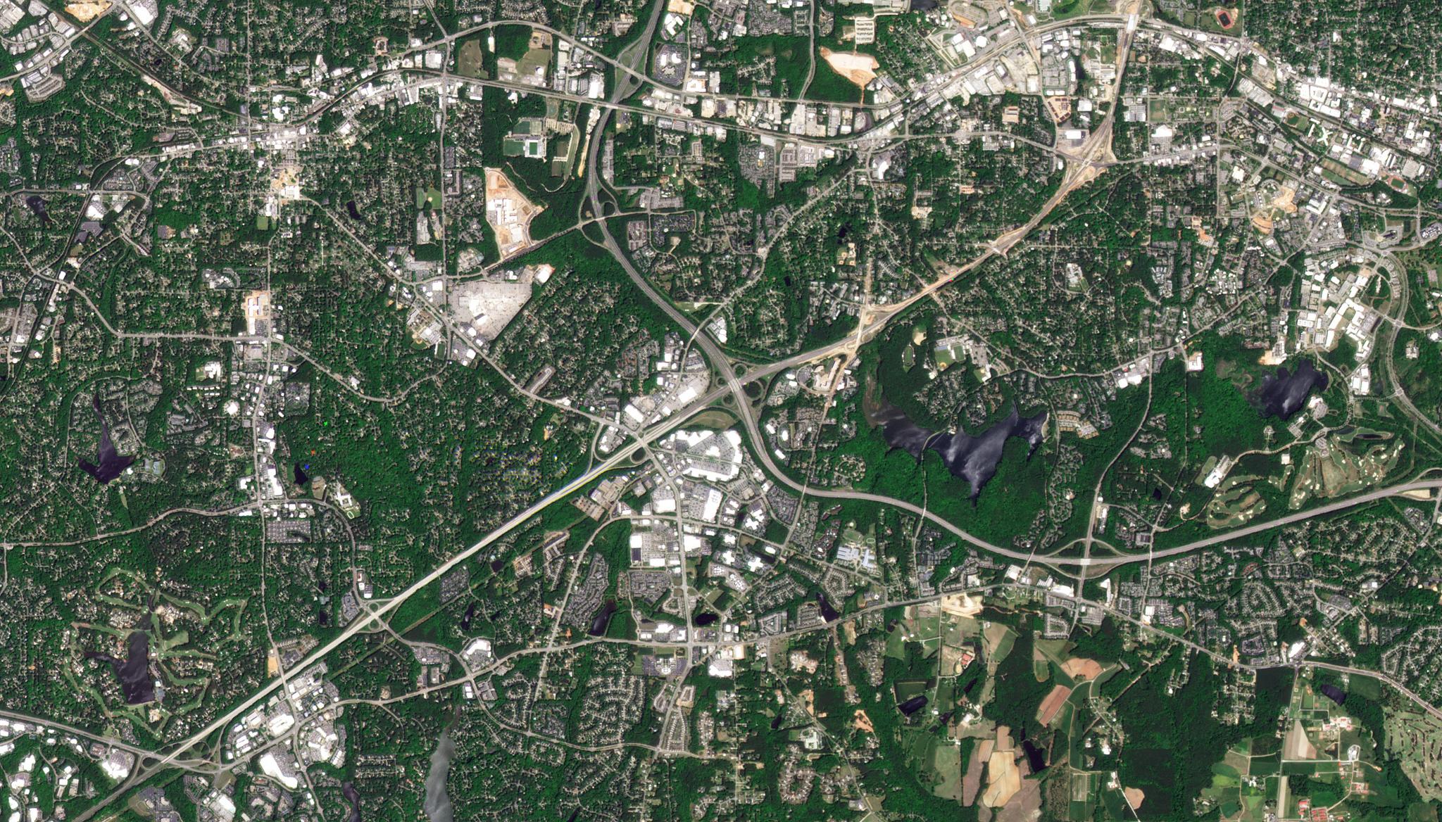
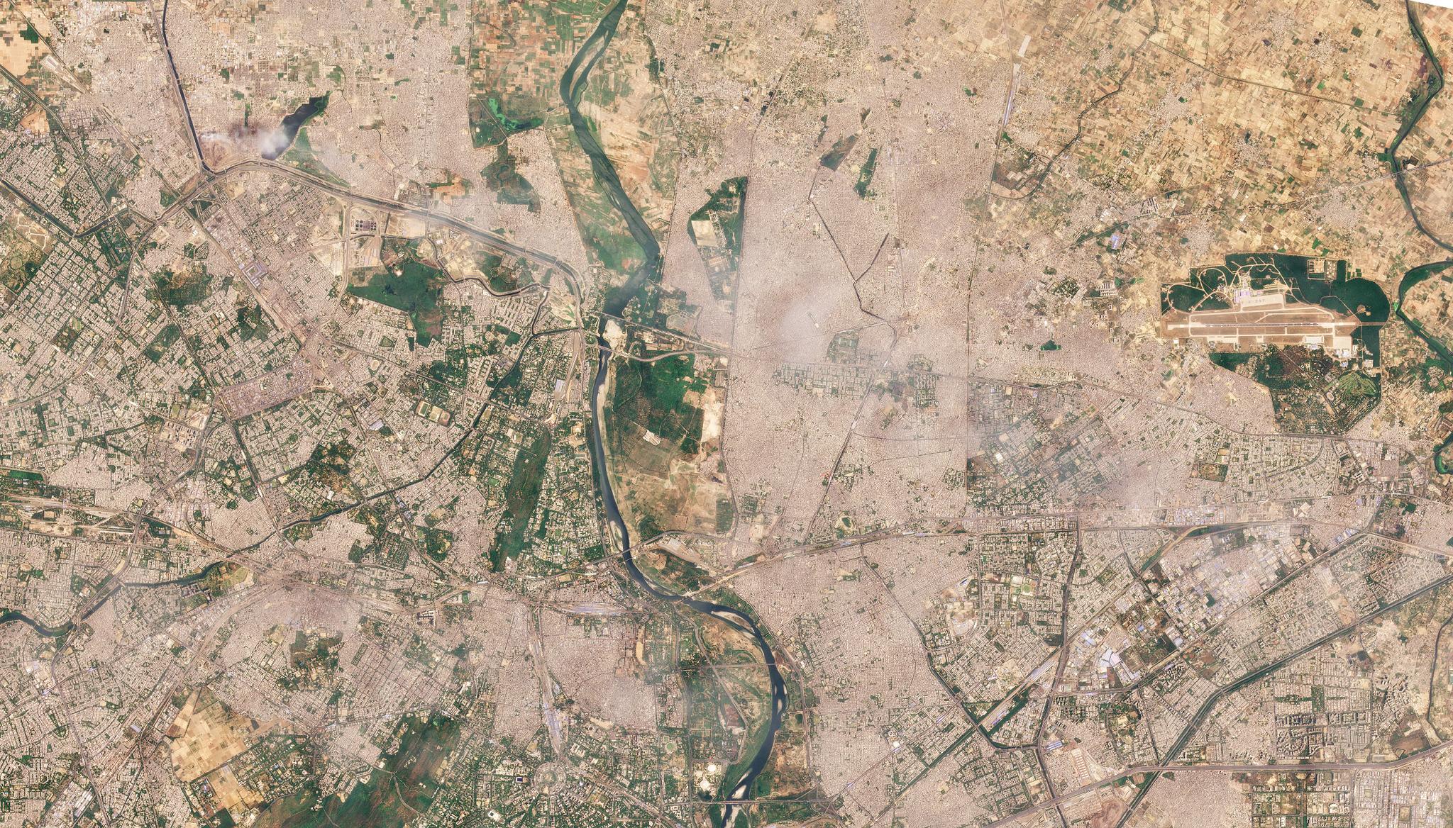
PlanetScope Data Leveraged to Capture Insights On Rapid Urban Change Impacting Watersheds; Researchers Generate Rapid Digital Elevation ModelJoe Mascaro |August 3, 2022|2 min readRead more
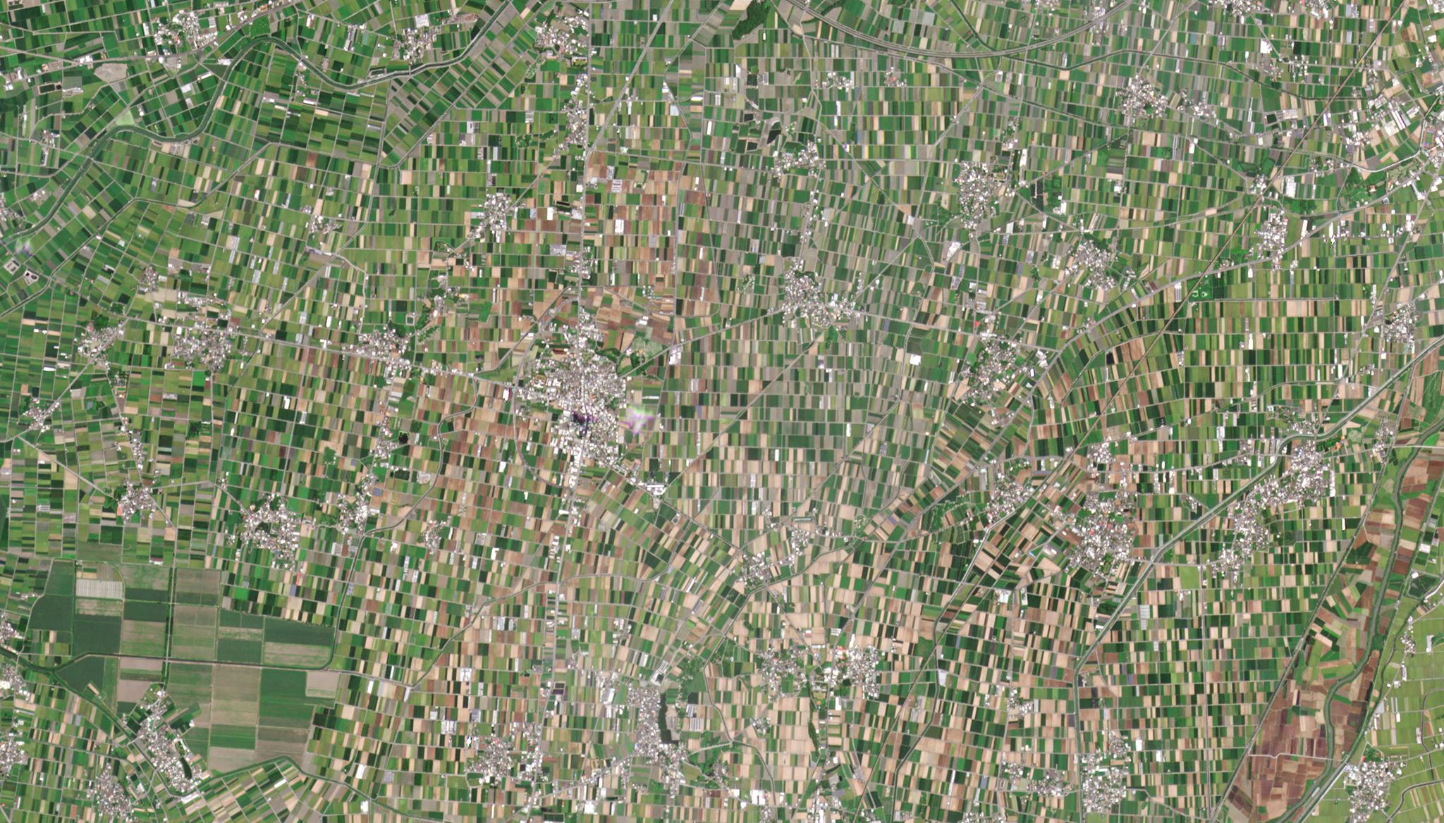
Using Planet SkySat Data, Researchers Create An Automated Crop Growth Detection Method for Taiwan’s Agricultural SectorJoe Mascaro |July 13, 2022|2 min readRead more
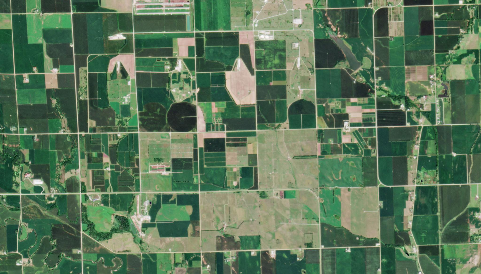
Planet Fusion assimilated in early season prediction model of crop yield variability, supporting food security and agricultural managementJoe Mascaro |July 6, 2022|2 min readRead more
PlanetScope Basemaps Used to Differentiate the Impacts of Swarms of Locusts on Cropland from Drought Damage in EthiopiaJoe Mascaro |June 30, 2022|2 min readRead more
PlanetScope Data Used to Improve Ground-level Air Quality Prediction with Artificial IntelligenceJoe Mascaro |June 22, 2022|2 min readRead more
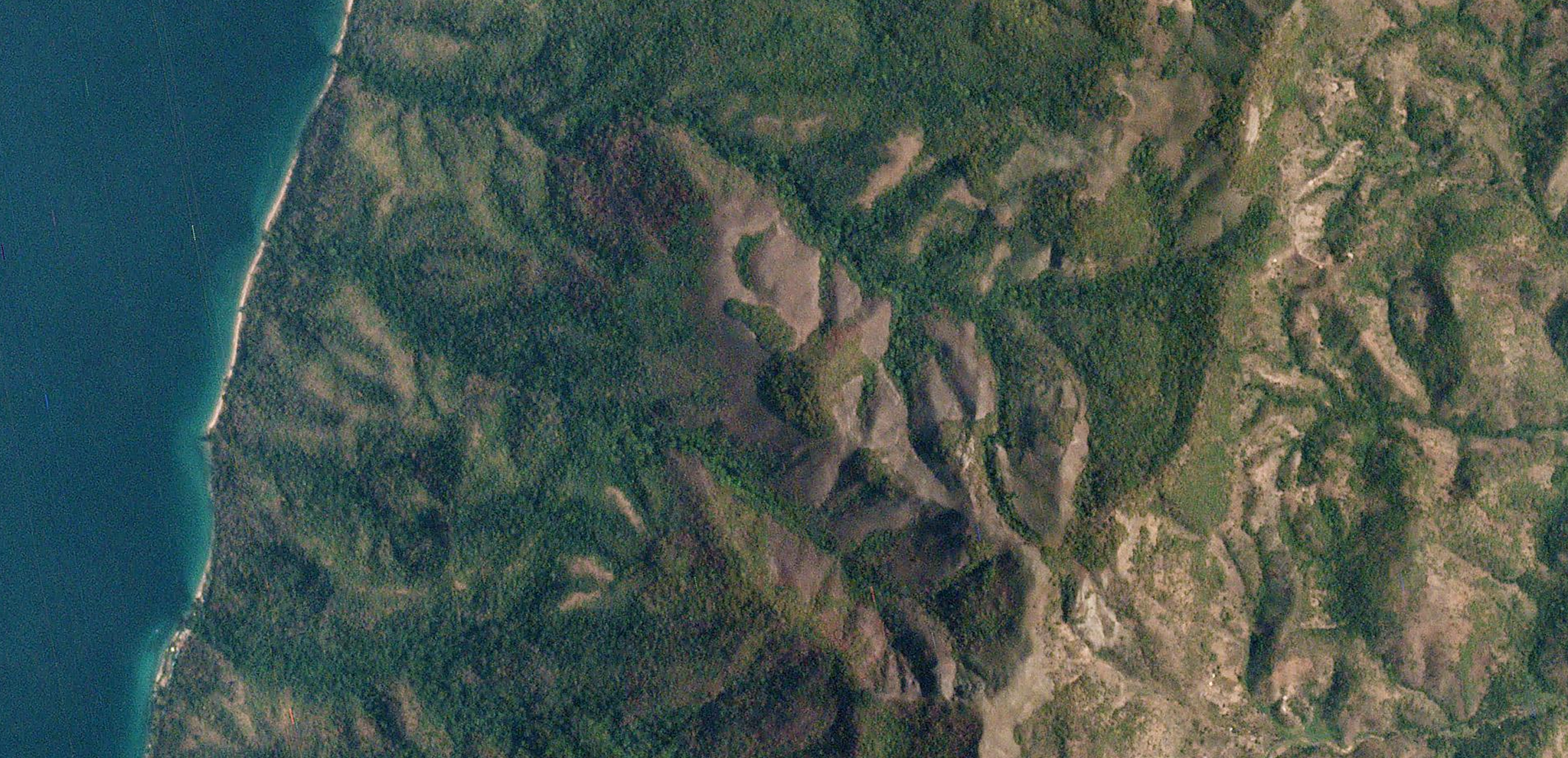
Planet’s data helps to unravel the geological and meteorological interplay during the Chamoli disaster in IndiaJoe Mascaro |June 16, 2022|2 min readRead more
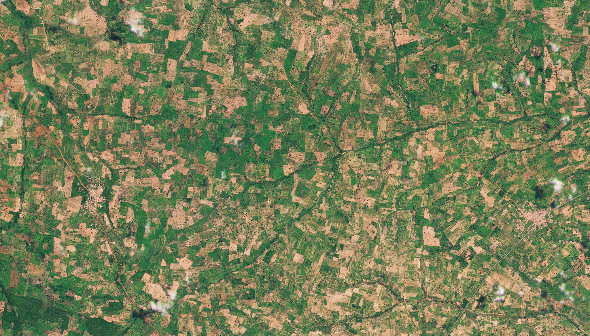
PlanetScope Data Used to Generate High Resolution, Annual Maps of Field Boundaries for Smallholder-Dominated Croplands at National ScalesJoe Mascaro |June 8, 2022|2 min readRead more
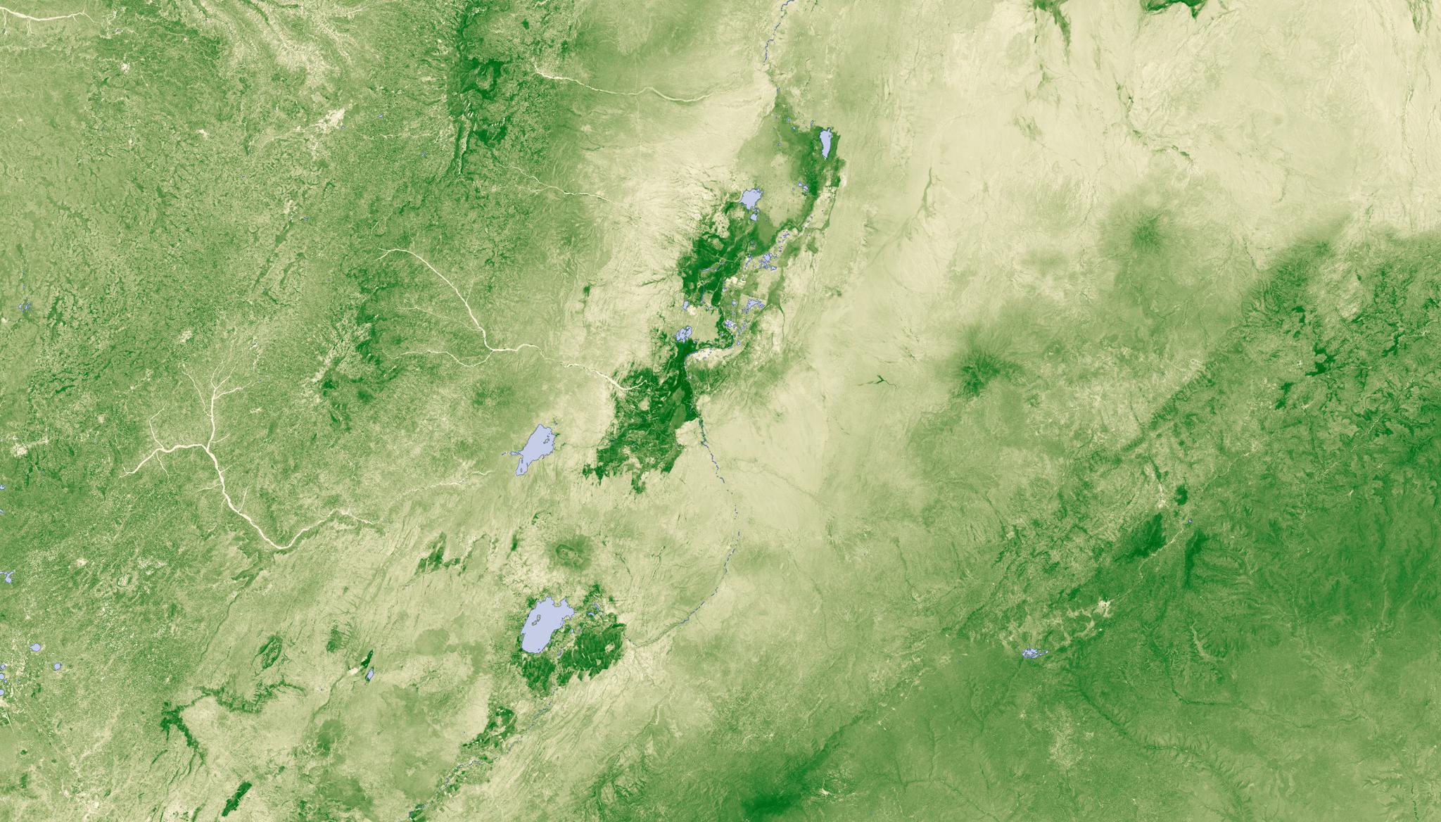
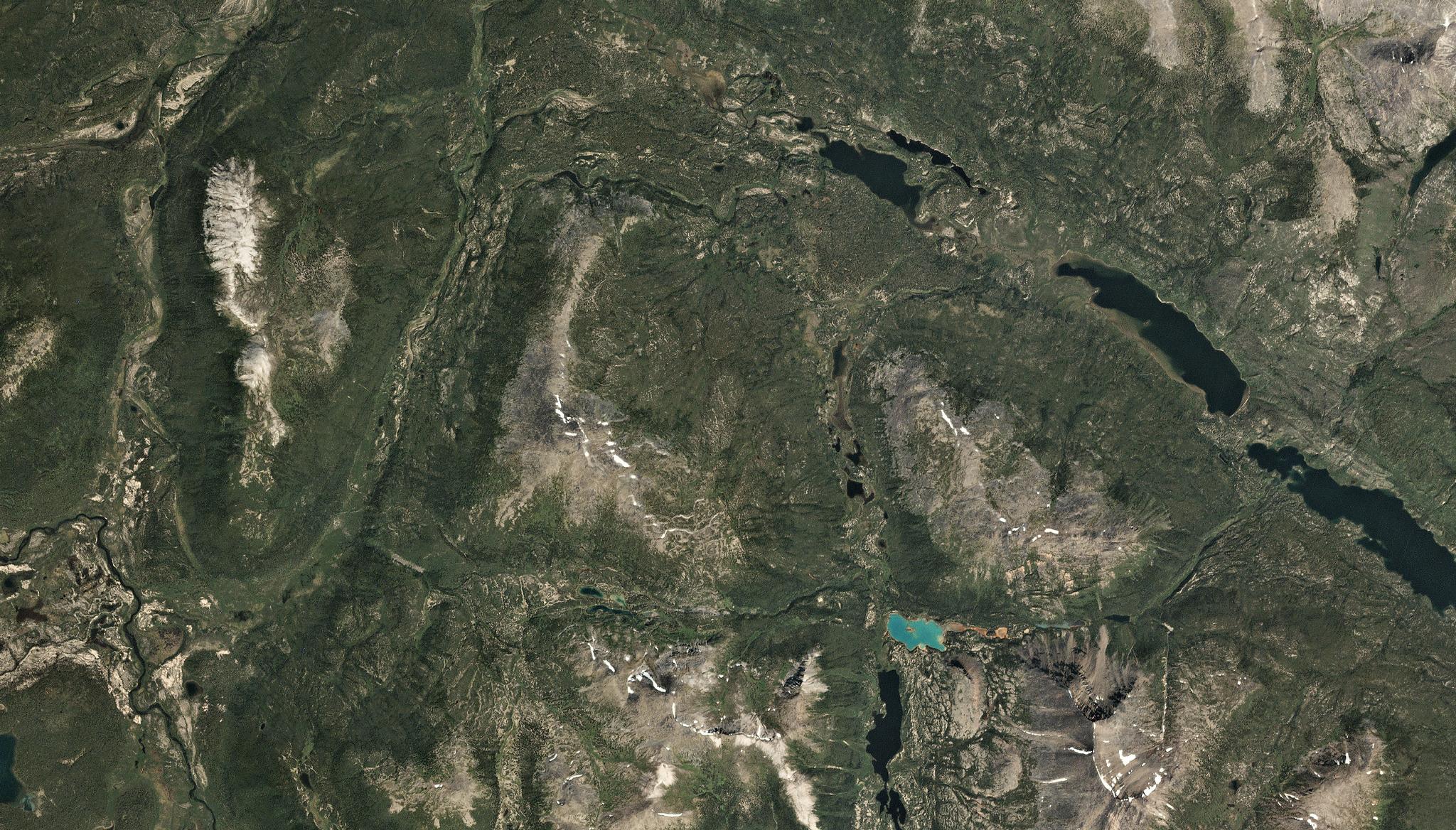
PlanetScope data leveraged to reconstruct the advance and retreat dynamics of the Cordilleran Ice SheetJoe Mascaro |June 1, 2022|2 min readRead more
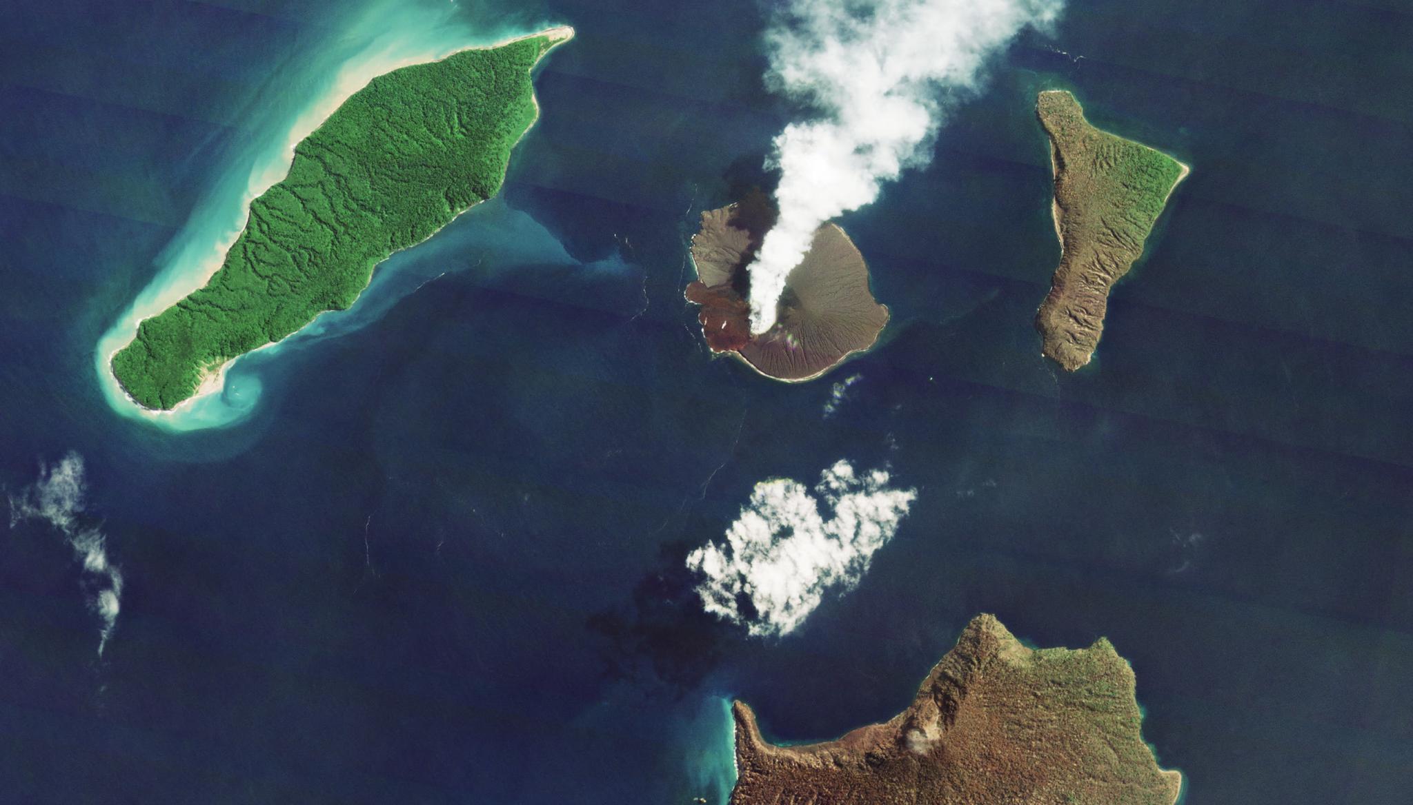
PlanetScope Enables Detailed Mapping of Lava and Ash Deposits of Indonesian VolcanoesJoe Mascaro |May 18, 2022|2 min readRead more
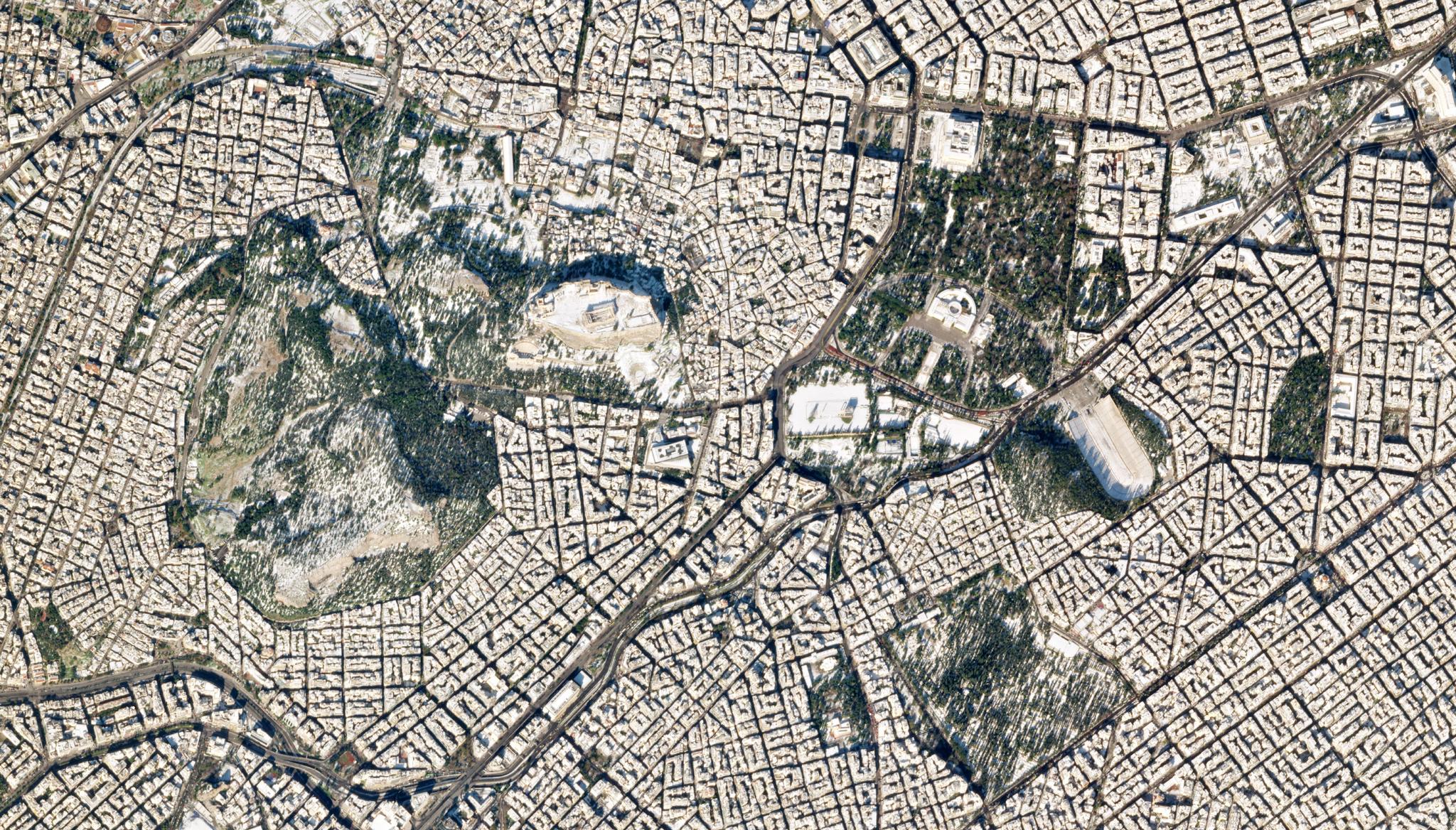
Researchers Leverage Deep Learning Classification Models and PlanetScope Data to Facilitate SDG 11 Indicator ComputationJoe Mascaro |April 27, 2022|2 min readRead more
Modelling Above Ground Biomass Using Sentinel 2 and PlanetScope Data in Dense Tropical Montane Forests of TanzaniaJoe Mascaro |April 20, 2022|2 min readRead more