Watch Our Spanish Language Precision Ag Webinar

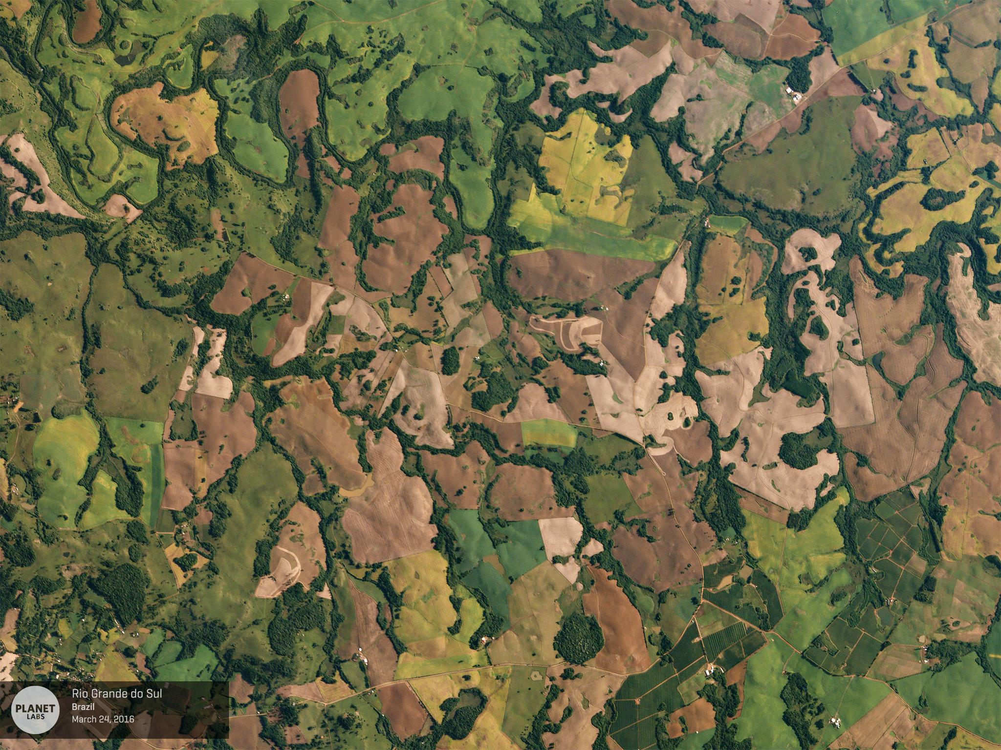
Planet imagery of Rio Grande do Sul, Brazil © 2016, Planet Labs Inc. All Rights Reserved.
NewsPlanet's built the largest constellation of satellites in history along with a data processing pipeline and online platform that lets you manage and analyze that imagery at scale. We've seen a growing number of cutting-edge precision agriculture companies around the world incorporate our high-frequency satellite imagery into their own products and platforms. We're pleased to highlight one of these companies, PCI Geomatics, in our Spanish language webinar. Watch to learn why high-frequency satellite imagery is an essential part of the precision agriculture toolkit. In the broadcast, Andres Castillo, Regional Manager for Latin America of Planet, and Freddy Paya, Sales Manager for Latin America for PCI Geomatics, will walk you through some unique and powerful applications for our high-frequency, wide-area satellite imagery. [cta-banner datatag="" thankyoutitle="" thankyoutext="" title="Watch it now " buttontext="Sign in/Register Here " buttonhref="https://register.gotowebinar.com/register/2815732015704246786" backgroundimage="https://storage.googleapis.com/corpeng-pulse-assets/uploads/2017/08/20160324_Rio-Grande-do-Sul.jpg" email="false"][/cta-banner]

Ready to Get Started
Connect with a member of our Sales team. We'll help you find the right products and pricing for your needs.

