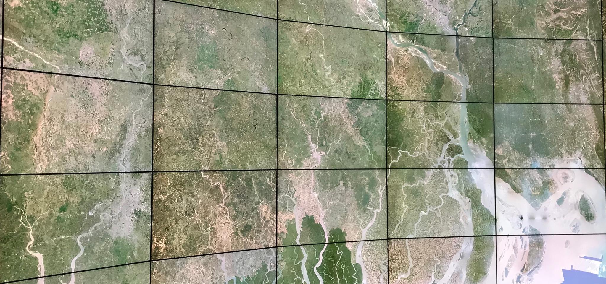
Planet's monthly mosaic, centered over Bangladesh, projected at full resolution at the HANA Immersive Visualization Environment (HIVE) © 2019, Planet Labs Inc. All Rights Reserved.
AUTHOR PROFILE Joseph Mascaro
Dr. Joe Mascaro is Planet's Director of Science Programs

Stanford Students Can Now Harness The Power of Planet’s Satellite Data

News

Planet has partnered with Stanford University, providing students with subscription access to Planet’s data and satellite imagery.

Stanford will now be able to use Planet’s Dove and RapidEye imagery for non-commercial research and classroom activities across a variety of disciplines. With Planet’s data and tools, the students can access a vast array of fascinating, undiscovered insights about Earth—from tracking receding glaciers to observing humanitarian responses to crises.

Stanford Libraries—with support from the Natural Capital Project and The Center on Food Security and the Environment —decided to partner with Planet after collecting interest from multiple faculty members and stakeholders on campus.

In particular, Stanford earth system science professors David Lobell and Marshall Burke are interested in using Planet imagery to run predictive modeling around food security and sustainability, at continental scales.

“Planet offers an unprecedented combination of fine spatial resolution and temporal frequency,” Lobell says. “We’re excited to test Planet data on some long-standing problems where coarser sensors have struggled, such as tracking economic activity in remote areas, or measuring cropping diversity in tropical agriculture.”

Planet’s monthly mosaic, centered over Bangladesh, projected at full resolution at the HANA Immersive Visualization Environment (HIVE). © 2019, Planet Labs Inc. All Rights Reserved.

Combining machine learning and Planet imagery, the Natural Capital Project—a partnership between Stanford, the Chinese Academy of Sciences, the University of Minnesota, the Stockholm Resilience Centre, The Nature Conservancy, and the World Wildlife Fund—is developing an algorithm for detecting and mapping dams globally. There are estimated to be over 16 million dams worldwide, with only a small fraction documented

“The addition of Planet data to the Libraries’ catalog of resources will offer faculty and students new tools to support the cutting-edge research being done across a variety of disciplines to address urgent global issues,” says Stace Maples, Stanford Libraries geospatial manager. Since Planet’s archive dates back to 2009, Maples adds, students and researchers will be provided with historical context to leverage.

Because Stanford is one of the world’s leaders in machine learning, the potential for new discoveries and innovation are intriguing for Gopal Erinjippurath, Planet’s senior director of analytics engineering.

“At Planet, we are constantly experimenting with machine learning approaches to derive critical geospatial insights served at a global scale,” says Erinjippurath. “We are excited to see the students and faculty at Stanford access and explore our imagery. Stanford is a center of academic excellence, pioneering innovations in the broader realm of AI and machine learning. Planet intends to collaborate closely with research teams at Stanford to further new technologies in geospatial analytics.”

Students and faculty interested in using Planet’s imagery for their research should submit a request through the Libraries Geospatial Center. They can also find more information on satellite imagery and Planet via this topic guide.