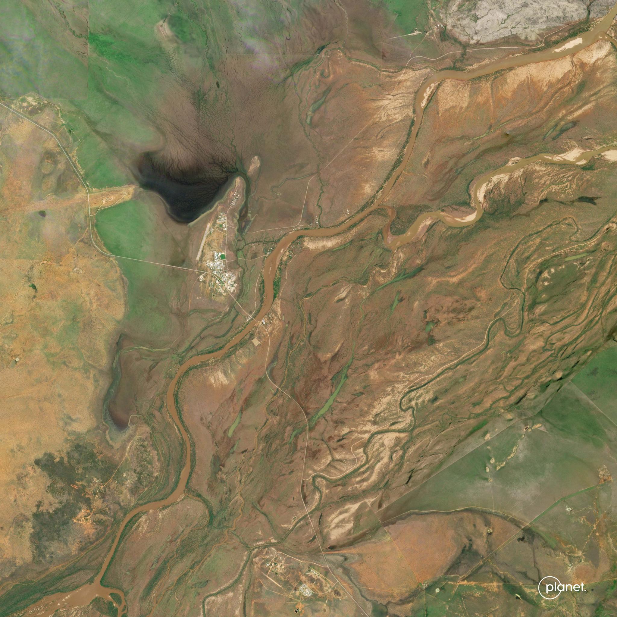
StoriesStoriesSatellites enable disaster management for unprecedented Australian floodsPlanet Labs PBC |February 15, 2023|6 min readRead more
InsightsInsightsTransforming Disaster Response Through Satellite Data and AIJodi Mak |August 11, 2025|3 min readRead more
NewsNewsThe Atlantic braces for another busy hurricane seasonSarah Preston |May 24, 2021|3 min readRead more
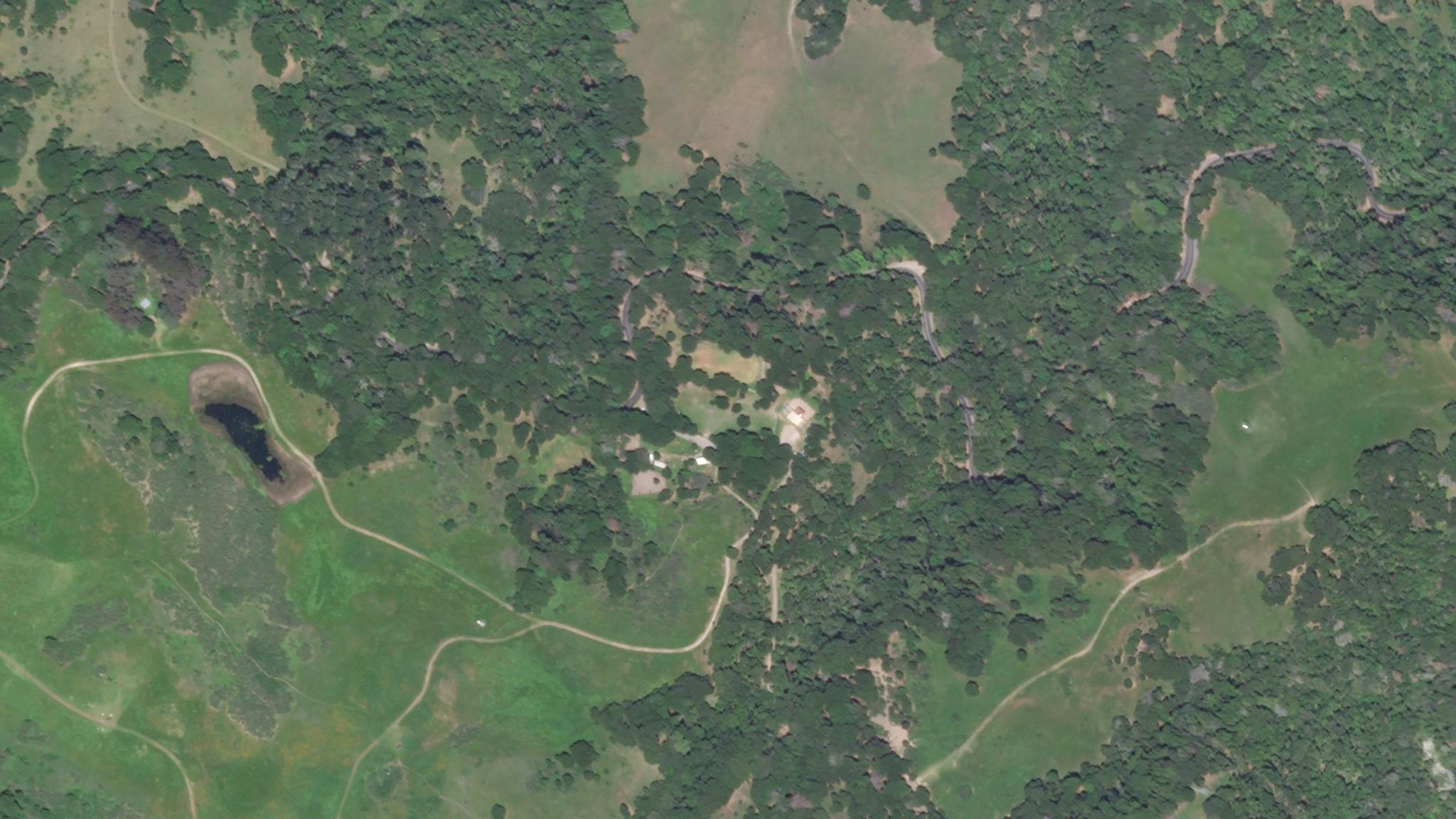
StoriesStoriesPilot Program Pushes Boundaries for Wildfire DetectionParis Good |October 7, 2020|3 min readRead more
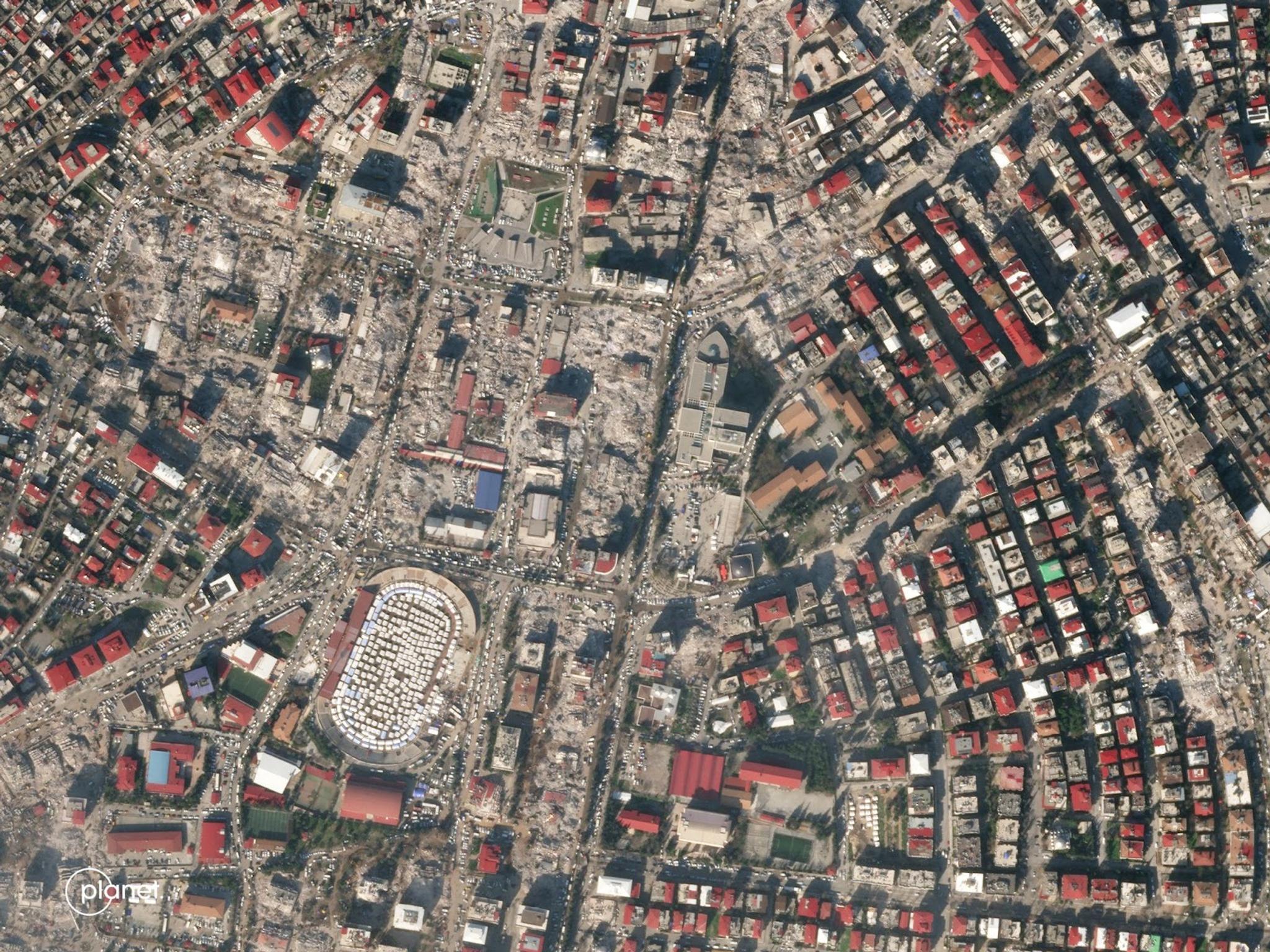
NewsNewsPlanet’s response to earthquakes in Turkey and SyriaPlanet Labs PBC |February 17, 2023|2 min readRead more