
Web Service Basemaps: Easy, Accessible and Timely
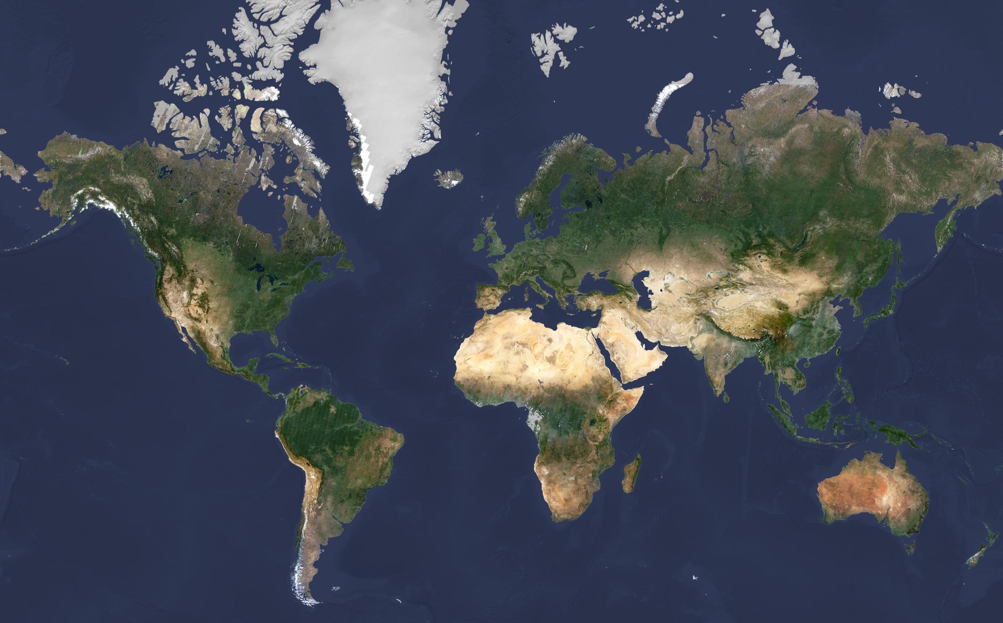
With our recent, launch of 88 Flock 3p satellites, we’re on the cusp of bringing down terabytes of imagery data a day. The next big challenge is to make that data accessible, to make it usable and consumable on the web. One of the easiest ways to consume our data is via a basemap — a collection of imagery that’s processed and stitched together into a wide-area mosaic.
Planet’s excited to roll out our new web service basemaps. What does this mean? It means that a range of users can pull a basemap of their choice into their own product, platform or website with a simple URL.
Now, Planet can host the basemap online for you — there’s no need to download and process imagery files, stage them on an internal system, or try to share across a group of users internally.
The Basemaps
Now let’s dig a little deeper into the types of Planet basemaps that you can integrate into your workflow. Currently we offer three basemap types:
- Enhanced basemap — these seamless color-balanced mosaics are hand stitched with virtually no clouds. Choose from our off-the-shelf list or produced on demand.
- Standard basemap — Optimized for coverage completeness and visual quality based on seasonal color targets, these wide-area basemaps are ideal for mapping backdrops.
- Timelapse basemap — Optimized to provide the most recent imagery, these automatically-produced basemaps are available quarterly and monthly, using only imagery collected in the timelapse period.
It’s all in the Automation
Perhaps the most intriguing thing about Planet Basemaps is the methods and speed in which they can be created. While we continue to offer exquisite, hand-stitched Enhanced basemaps, it would take too much time to hand-process all of the data we bring down on a quarterly and monthly basis.
Our Standard and Timelapse basemaps are automatically processed in the cloud, without a human in the loop to blend or stitch imagery together. We automatically sort through a massive pool of recent images to find imagery that’s deemed the “best capture” of any area on the planet within a given time period. Remaining clouds and atmospheric haze are then automatically masked or cut out from these images; and they’re stitched together with other “best captures” into a larger global mosaic.
In the case of our global Timelapse basemaps, these algorithms stitch between 2 and 3 million satellite images together every month. See how you can incorporate any of these custom or automated basemaps into your own products and workflows. Learn more about our new “plug-and-play” web service basemaps.
Ready to Get Started
Connect with a member of our Sales team. We'll help you find the right products and pricing for your needs.