
Mapping the Future: Innovative Solutions for New Zealand’s Biodiversity Restoration
Biodiversity decline in even the tiniest area of any country is a global concern. It multiplies to a myriad of issues such as climate-driven extinctions, the spread of diseases, and loss of livelihood. With such a gigantic, complex, and time-sensitive global problem, where do we begin looking for solutions?
Meet Eco-index, a team of experts in ecology, data science, economics, and mathematical modeling tackling biodiversity decline with a heart and a head full of dreams for the future of Aotearoa, the indigenous Māori name for New Zealand. Initiated by the Biological Heritage National Science Challenge research program, the Eco-index team is set on a mission to develop geospatial solutions to solve the biodiversity crisis, and they are using a combination of Planet satellite data and artificial intelligence to do just that.
The Wicked Problem and Wonderful Solutions of Geospatial Data
Reversing native biodiversity decline is a tall order, especially with the diverse ecosystems and highly modified landscapes of Aotearoa. But the Eco-index team is not afraid to traverse uncharted territories to protect vulnerable species. We all know too well that ecological restoration is the best option, but there are unanswered questions when tackling this issue.
According to Catherine Kirby, Communication & Relationships Manager of Eco-index, decision-makers, from private individuals to the government, “are often lacking the data, knowledge, and tools to make a cost-effective difference.” She adds that Eco-index’s “national mapping, target-setting, and monitoring approach” will help fill this knowledge gap. Their ecosystem reconstruction digital toolkit “empowers decision-makers to prioritize and plan actions that provide the best return for their efforts and investments.”
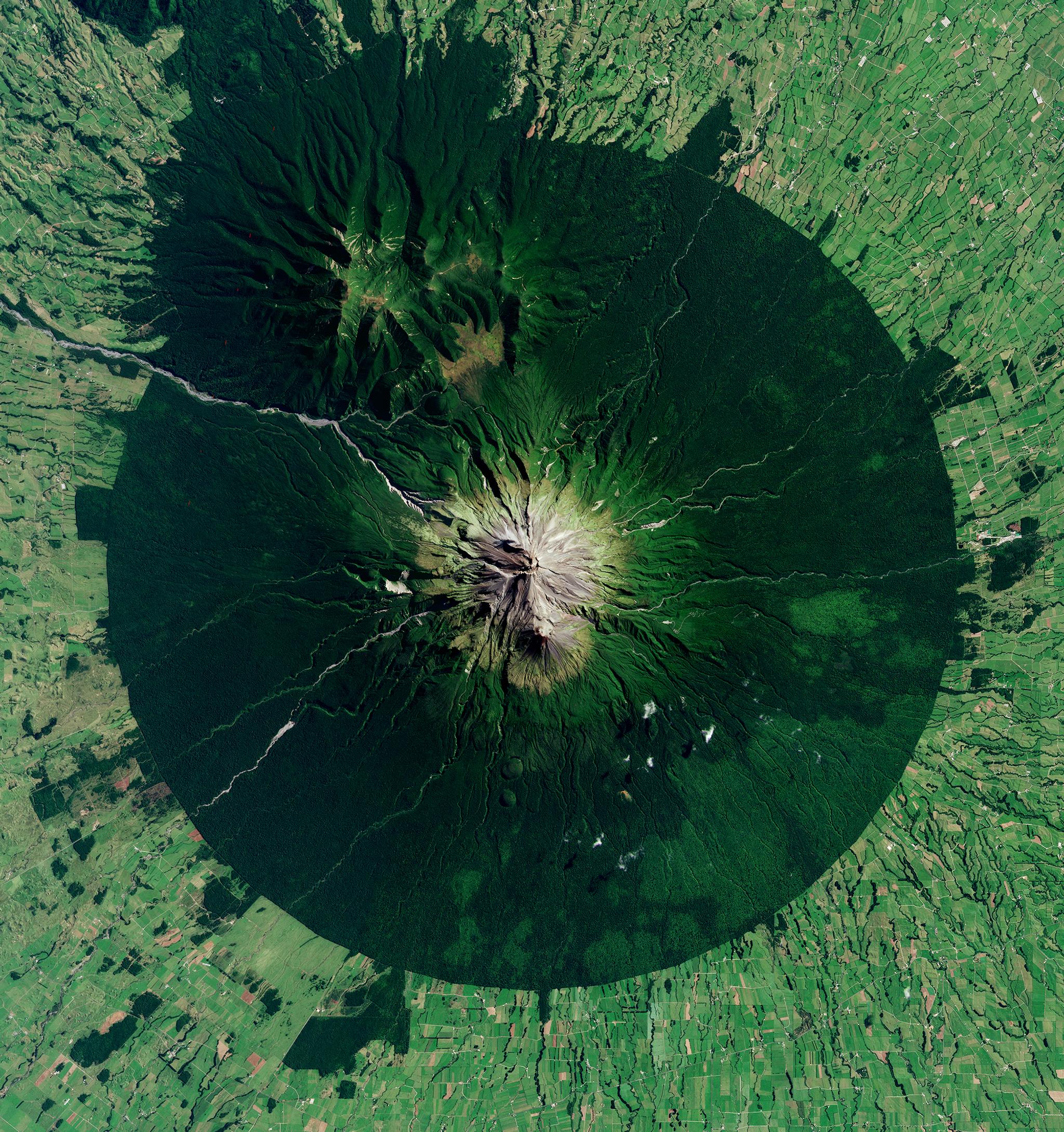
The recently launched Ecosystem Reconstruction Map, a digital public good that critically categorizes the whole of New Zealand into restoration priority levels, was a huge success. They have a lot more in store including remote sensing ecosystem detectors that are being developed with AI and are set to publicly roll out by mid-2024. These ecosystem detectors primarily focus on wetlands and kahikatea forest, a New Zealand native tree. Kevan Cote, Eco-index Data Scientist, shares that they identified these two ecosystems “because they are the most depleted, as they’re in low-lying lands where people have undertaken agricultural and urban development.” Identifying ecosystems and using Planet’s archival data enables stakeholders to measure the impact of ecosystem reconstruction and regeneration efforts and facilitates well-informed decision making.
However, solving a problem as wicked as biodiversity decline is not without challenges. During detector development, results of remote sensing require “ground-truthing” to ensure accuracy. This has traditionally been undertaken by people who visit the areas of interest and is therefore labor-intensive and time-consuming. The Eco-index team however are making the most of Planet Earth data to ground-truth from space.
Getting to the Ground Truth with Planet Earth Data and AI
Two things are critical for the initiative’s success: accuracy and consistency of data sources. The Eco-index initiative has high standards for their ecosystem detection work and they want to “provide a clear picture of the extent of native ecosystems and targets for ecological restoration,” said Catherine.
To get accurate remote sensing results even “without leaving their office chairs,” as Kevan described it, they leveraged both PlanetScope and SkySat data. PlanetScope equips them with temporal data for accurate historical information on areas of interest and New Zealand map coverage, while SkySat remotely verifies the output of target areas.
Planet data seamlessly integrates into their framework that utilizes a foundational data cube based on the layers of stacked PlanetScope data. From this foundational data, they layer on soil moisture levels, soil types, and elevations. Combining these datasets allows them to make predictions in situational aspects such as elevation changes and integrate changing timeframes with AI-assisted pattern detection.
Kevan paints a good picture of their day-to-day operations using Planet data, “You don’t need to change any aspect of the data. It’s plug-and-play, which is beneficial when you are trying to experiment a little bit and maybe grab something from a different timeframe or change things up. It’s more or less drag and drop, which I found massively helpful for this work.”
Critical Collaborations for Sustainability
At Planet, we are proud to have innovative partners and customers who live and breathe our mission to use space to help life on Earth, through restoration and nature-based solutions. In an interview with Matthew Monahan of Ma Earth, Planet CEO Will Marshall shared the importance of conservation in mitigating climate change. He said, “If you just let those forests grow back, you suck down more CO2. Whereas if you turn all the coal power plants into renewables, you don't automatically stop the destruction of the forests, right? And when people are striving for carbon capture, the best technology is nature, right? I mean, the tree, it plants itself.”
While their current tools are already helping ecosystem restoration planning for a range of users including the government and industry organizations, Eco-index are conducting research and development work to further the advancement of geospatial solutions for better biodiversity outcomes.
Ready to Get Started
Connect with a member of our Sales team. We'll help you find the right products and pricing for your needs.