Search
Planet Analytic Imagery And Archive
Global monitoring, daily insight
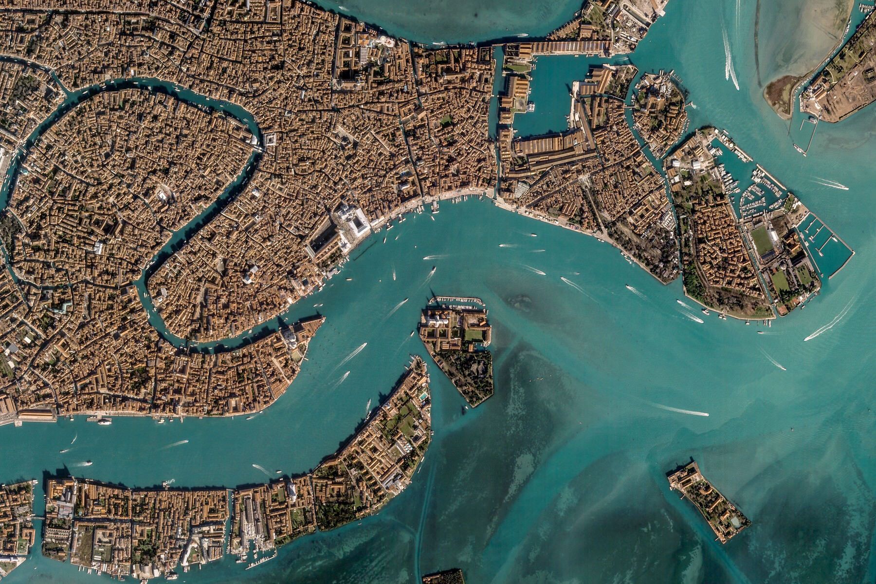
Imaging the Earth Daily
Planet provides geospatial insights at the speed of change, equipping organizations with the data necessary to make informed, timely decisions. With best-in-class imagery, you can monitor areas of interest, validate information on the ground, and discover trends relevant to your organization.
Our constellations
Planet operates hundreds of satellites that together provide an unprecedented dataset of Earth observation imagery. With a unique combination of coverage, frequency, and resolution Planet delivers geospatial insights at the speed of change, helping you get the most nuanced understanding of changing ground conditions.

Planet's constellation of satellites orbit the poles every 90 minutes, capturing the entire Earth's landmass every day.
 |  |  | |
| Hundreds | ~15 | 3 | |
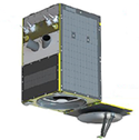
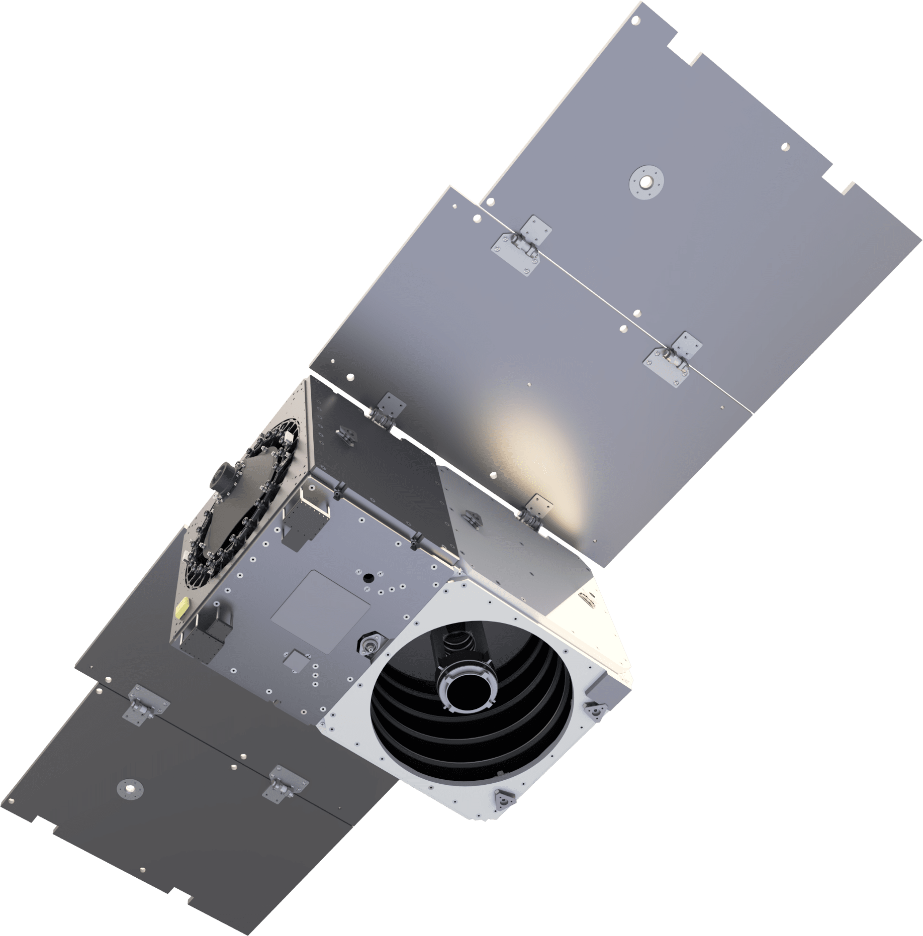
| PLANETSCOPE | SKYSAT | PELICAN | |
| Collection Capacity | Up to 300M KM2/day | Sub-daily tasking | Next-Generation Tasking |
| HUNDREDS OF PLANETSCOPE | ||
|---|---|---|
|
| ~15 SKYSAT | ||
|---|---|---|
|
| 3 PELICAN | ||
|---|---|---|
|
VISUAL PRECISION, ANALYTIC POWER
Access color-corrected 3-band and sensor-calibrated multispectral products. Basic, orthorectified, radiance, and surface reflectance imagery are available.
| PLANETSCOPE | SKYSAT | PELICAN | |
| Bands | 8 (RGB, NIR) | 5 (RGB, NIR, pan) | 7 (RGB, NIRx2, Red-Edge, PAN) |
| Products | Color enhanced Visual Analytic | Visual Panchromatic Pansharpened multispectral Analytic | Standard and orthorectified panchromatic and multispectral imagery |
| Pixel Resampled | 3 m | Visual, panchromatic, pansharpened multispectral: 0.5m | Visual, panchromatic, pansharpened multispectral: 0.5m |
| Radiometric Resolution | Visual: 8 bit Analytic: 16 bit | Visual: 8 bit Analytic, panchromatic, and pansharpened multispectral: 16 bit | Native: 12 bit; Processed: 16 bit |
| Positional Accuracy | < 10 M RMSE | < 10 M RMSE | < 10 m CE90 with Planet ground control points |
| File Format | GeoTIFF | GeoTIFF | GeoTIFF, NITF 2.1 |
| PLANETSCOPE | ||||||||||||
|---|---|---|---|---|---|---|---|---|---|---|---|---|
| ||||||||||||
| SKYSAT | ||||||||||||
|---|---|---|---|---|---|---|---|---|---|---|---|---|
| ||||||||||||
| PELICAN | ||||||||||||
|---|---|---|---|---|---|---|---|---|---|---|---|---|
| ||||||||||||
PLANET ARCHIVE
Planet Archive empowers customers with a living dataset of global change, with new imagery added on a daily basis. With 10+ billion sq km of imagery, Planet Archive has proprietary datasets back to 2009 and public datasets back to 1972.
Ready to Get Started?
Planet Monitoring makes Earth observation simple. Equip your organization with the necessary geospatial information to make critical, informed decisions fast.
© 2026 Planet Labs PBC. All rights reserved.
| Privacy Policy | California Privacy Notice |California Do Not Sell
Your Privacy Choices | Cookie Notice | Terms of Use | Sitemap
