
NICFI Satellite Data Program Partners and Users Continue to Deliver Conservation & Climate Solutions and Impacts
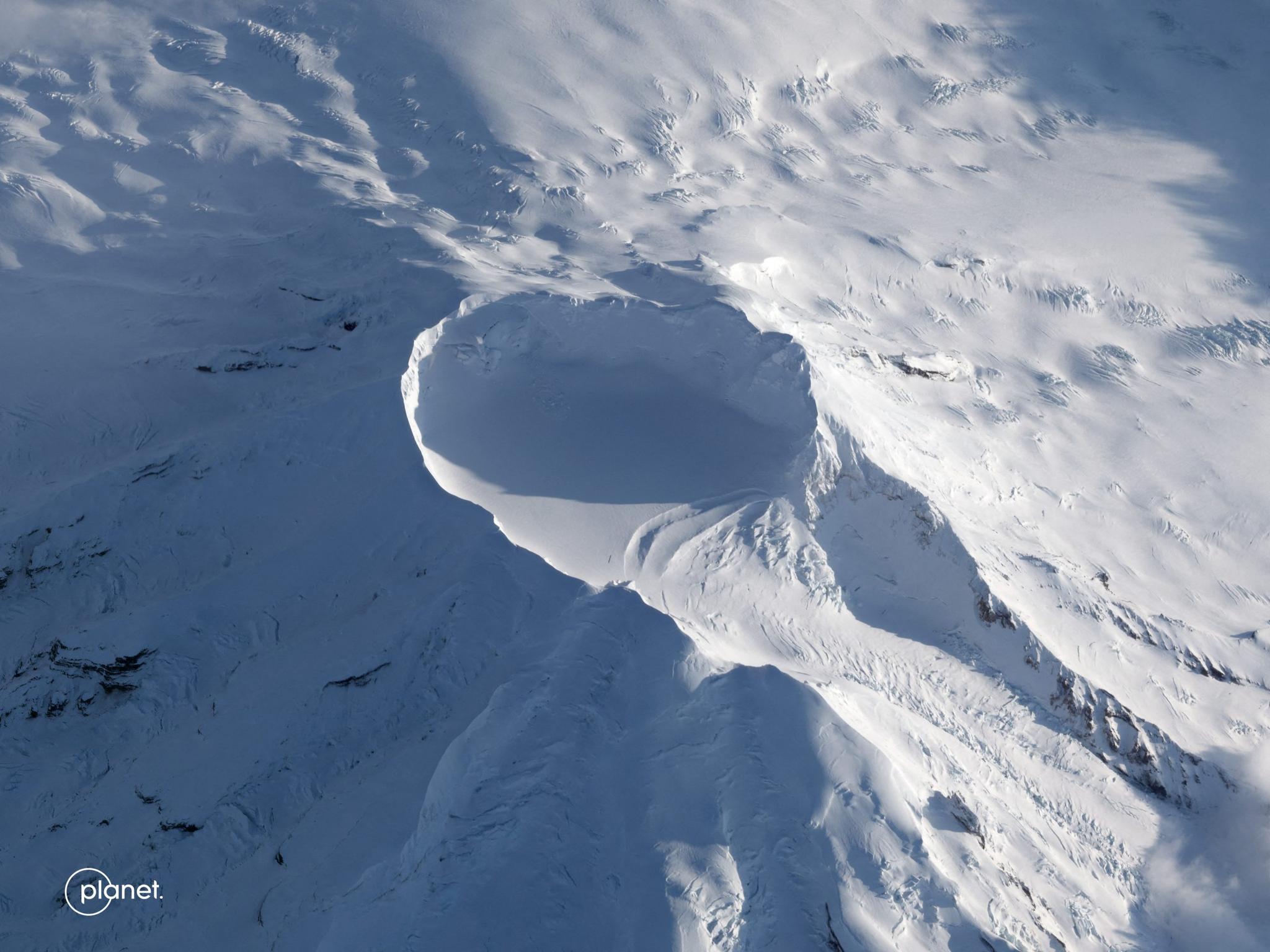
Planet oblique of Beerenberg, Norway taken April 24, 2023. © 2023, Planet Labs PBC. All Rights Reserved.
StoriesIntroduction
It’s been an exciting few months for the NICFI Satellite Data Program, which provides comprehensive access to Planet’s high-resolution satellite monitoring to help reduce and reverse tropical forest loss. We are pleased that Norway’s International Climate & Forests Initiative has extended the program for a fourth year, until September 2024.
Through ongoing surveys of Level 1 (Planet SR Basemaps) users, reports from Level 2 (Planet and Airbus Scenes) users, and engagement with Level 0 (Planet Visual Basemaps) Purpose Allies, our team has heard from about 1,500 user stories of exactly how this data is helping achieve conservation and climate impacts on the ground. With over two and a half years of the program running, gaining more than 19,000 users in 158 countries globally, we are seeing increasingly innovative approaches and applications of these technologies.
We highlight just a few of the recent user stories below, as well as some of the recent Program Team events. We love to hear from you, and look forward to future events + engagement opportunities!
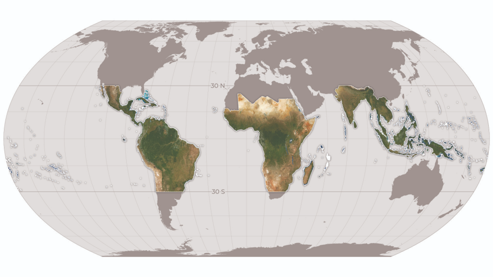
Planet global mosaic for tropical forests.
User Story Highlights: Recent Examples
We continue to be impressed and humbled by all that the NICFI Satellite Data Program user community is able to achieve in putting innovative Earth observation and geospatial technologies to work for forests + climate. Below are a few of the recent examples that we believe demonstrate the increasing innovation + impact of this important work!
- The Bolivian Association for the Research and Conservation of Andean-Amazonian Ecosystems (ACEAA) is incorporating the data into monitoring systems that strengthen indigenous territory surveillance and sustainable forest management.
- The Norwegian University of Life Sciences is advancing our understanding of how land cover land use changes affect water quality and provision services in Ethiopia.
- WWF Germany and Spatial Informatics Group are utilizing the data “in a range of applications for its high spatial resolution and usefulness in mapping land cover and conversion.” This includes helping better understand land use conversion in southern Africa, as well as supporting Cambodia in its UNFCCC reporting.
- The Nature Conservancy and Wageningen University are leveraging the high spatial and temporal resolution Basemaps to map roads, selective logging, and woody vines for improved carbon sequestration strategies.
- Universidad San Francisco de Quito in Ecuador has used the data to validate deforestation patches in protected areas, thus helping local environmental authorities enforce against illegal deforestation.
- Instituto Nacional de Bosques in Guatemala is leveraging the data to monitor incentive programs for sustainable forestry.
- Instituto Patrimonio Historico e Artistico Nacional in Brazil is using the data to detect deforestation and/or soil movement on unpermitted archaeological sites.
- Tanzania National Parks is using the monthly Basemaps to better detect and manage fire alerts in national park boundaries.
… and many, many more!
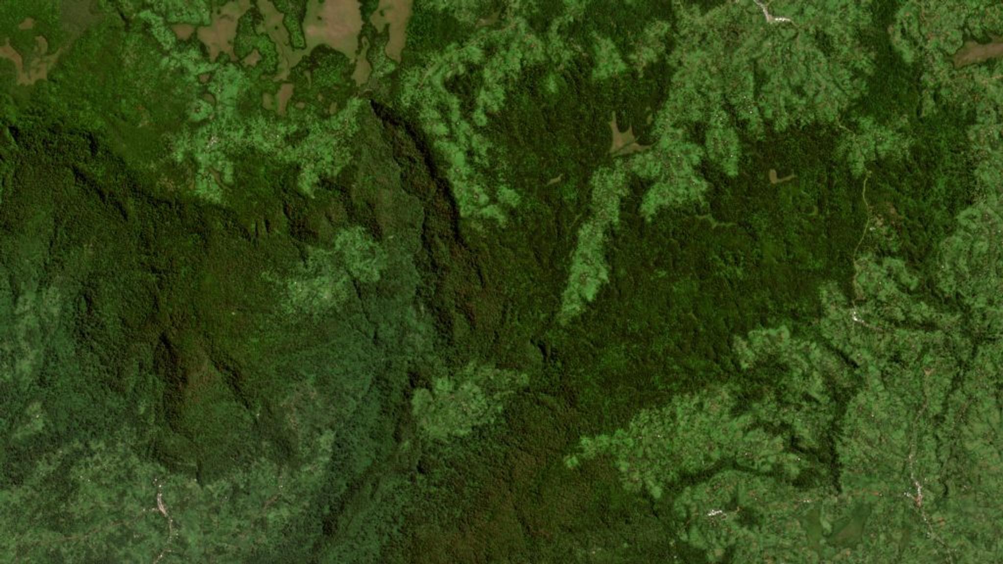
Planet satellite image of tropical forest in Ethiopia.
Recent Events & Presentations
We have been pleased to see the participation of the NICFI Satellite Data Program Team and User Community in many conferences and presentations recently, including (but not limited to):
- The Global Forest Observations Initiative at UN-FAO, where representatives from the governments of Ecuador, Lao PDR, and Uganda demonstrated how the data is supporting their Ministries of Environment in meeting Reduced Emission from Deforestation and Forest Degradation MRV requirements.
- The Global Space Conference on Climate Change in Oslo, where our partner and Program Lead Kongsberg Satellite Services (KSAT) presented on the aggregate impact of the program to date, and facilitated a panel session on its public-private partnership model for climate action.
- A “Transparency in Practice with High Resolution Satellite Data” webinar hosted by explorer.land by OpenForests which illustrates inspiring examples of how the data from the NICFI Satellite Data Program is being used to support forest conservation and restoration.
- We participated in a roundtable with the GEO Indigenous Alliance on June 7th in Spanish and June 8th in English at 16:00-17:30 CEST.
And we hope to see the community at the following upcoming events and presentations:
- Ongoing Program Roundtables (reach out to nicfi-servicedesk@ksat.no if you have a topic to discuss!).
- Governors’ Climate and Forest Task Force Jurisdictional Geospatial Training at UCLA in early June.
The World Resources Institute Land and Carbon Lab Summit in Brussels in late June.
Ready to Get Started
Connect with a member of our Sales team. We'll help you find the right products and pricing for your needs.