StoriesStoriesThe NICFI Satellite Data Program is Being Leveraged Globally To Advance Science and Protect ForestsTara O'Shea |June 10, 2022|4 min readRead more
NewsNewsThe NICFI Satellite Data Program: Celebrating Three Years of Using Space to Help Reduce & Reverse Tropical Forest LossTara O'Shea |November 6, 2023|8 min readRead more
StoriesStoriesPlanetScope and Planet Basemaps Utilized for Carbon Credits Monitoring in Indonesian Tropical ForestTasha Gillotti |August 4, 2022|3 min readRead more
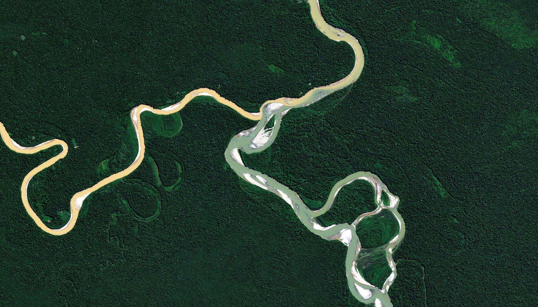
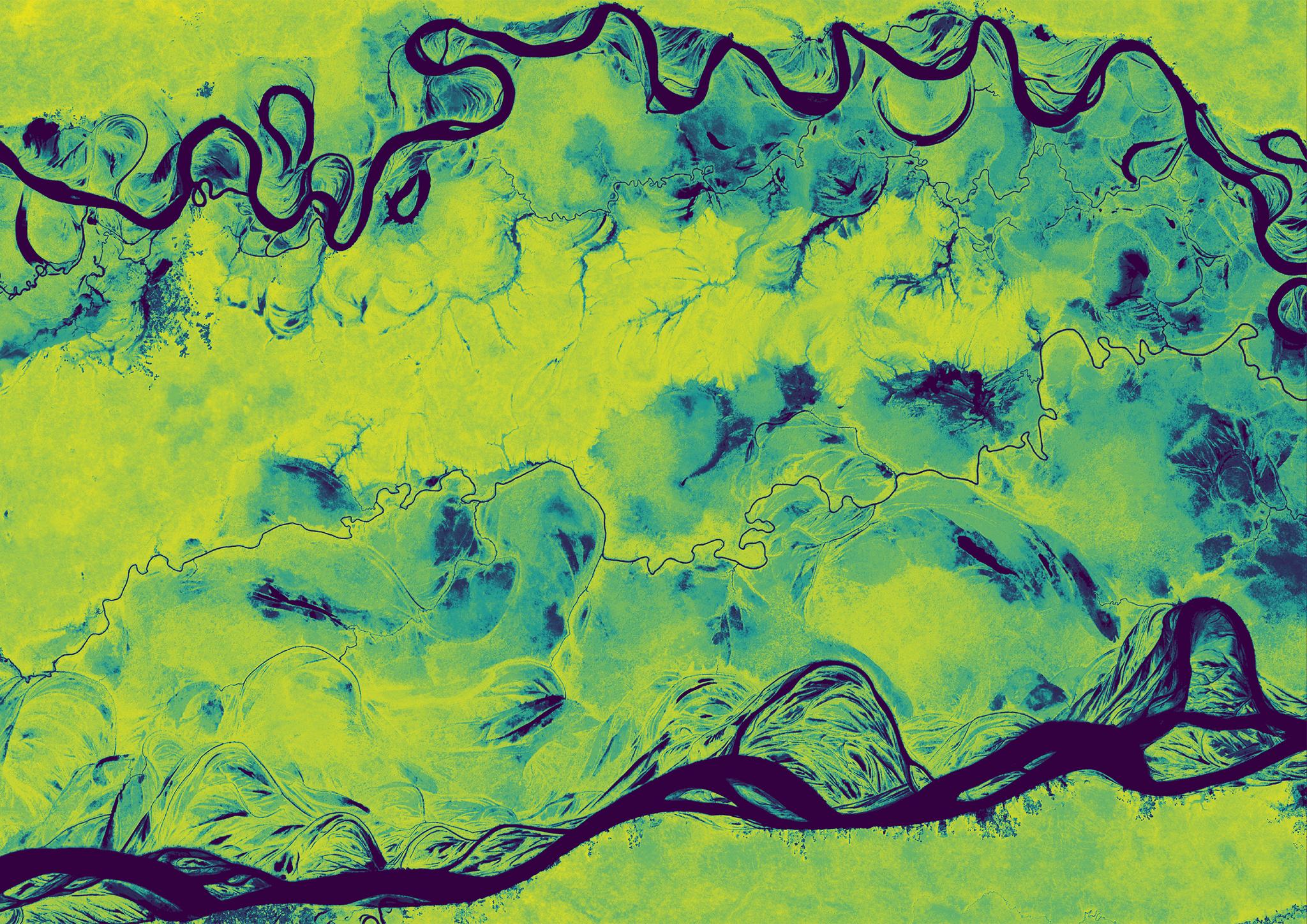
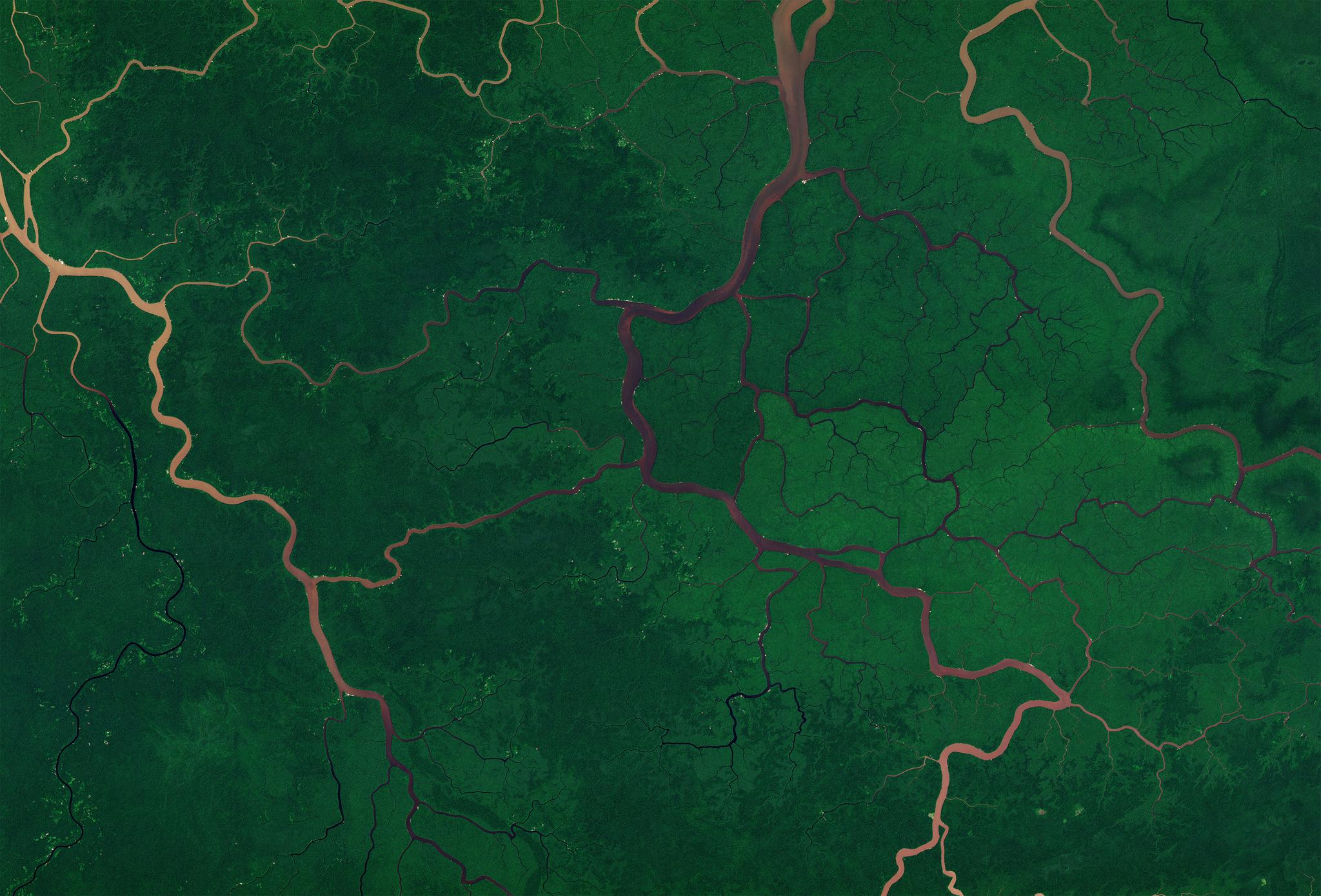
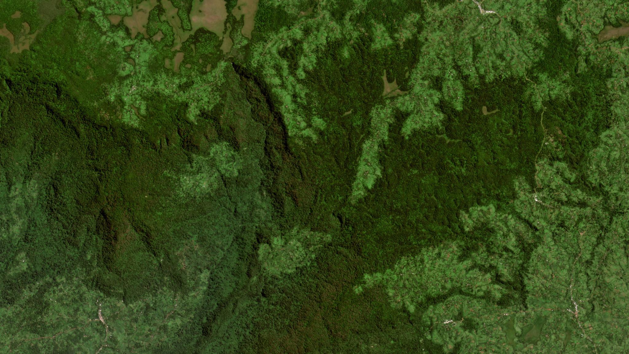
TechTechForest Carbon Monitoring: A Dove’s-eye View of Global Forest ChangeChristopher Anderson |September 27, 2024|7 min readRead more
OtherOtherComo Colômbia e Brasil enfrentam crimes em vastas áreas protegidasPlanet Labs PBC |April 8, 2025|5 min readRead more
StoriesStoriesHow Colombia and Brazil Tackle Crime in Vast Protected AreasPlanet Labs PBC |April 8, 2025|4 min readRead more
NewsNewsPlanet Accelerates Deployment of Forest Carbon Monitoring SystemPlanet Labs PBC |January 12, 2023|4 min readRead more
NewsNewsA Protocol for Near Real-time Tropical Deforestation MonitoringTara O'Shea |June 21, 2018|2 min readRead more
StoriesStoriesGetting to Ground-Truth in Asia: Part Two - How Countries Use Satellite Data for Forest ManagementMegan Zaroda |July 24, 2023|5 min readRead more
StoriesStoriesHow Bolivia Navigates Carbon Finance with Satellite PrecisionPlanet Labs PBC |May 27, 2025|5 min readRead more
StoriesStoriesPlanet Works to Accelerate Sustainable Development and Progress on the SDGsAndrew Zolli |September 25, 2021|6 min readRead more
StoriesStoriesNICFI Satellite Data Program Partners and Users Continue to Deliver Conservation & Climate Solutions and ImpactsTara O'Shea |June 21, 2023|4 min readRead more