NewsNewsPlanet and Everbridge Partner to Use Satellite Imagery for Critical Event ManagementAparna Singh |September 9, 2020|4 min readRead more
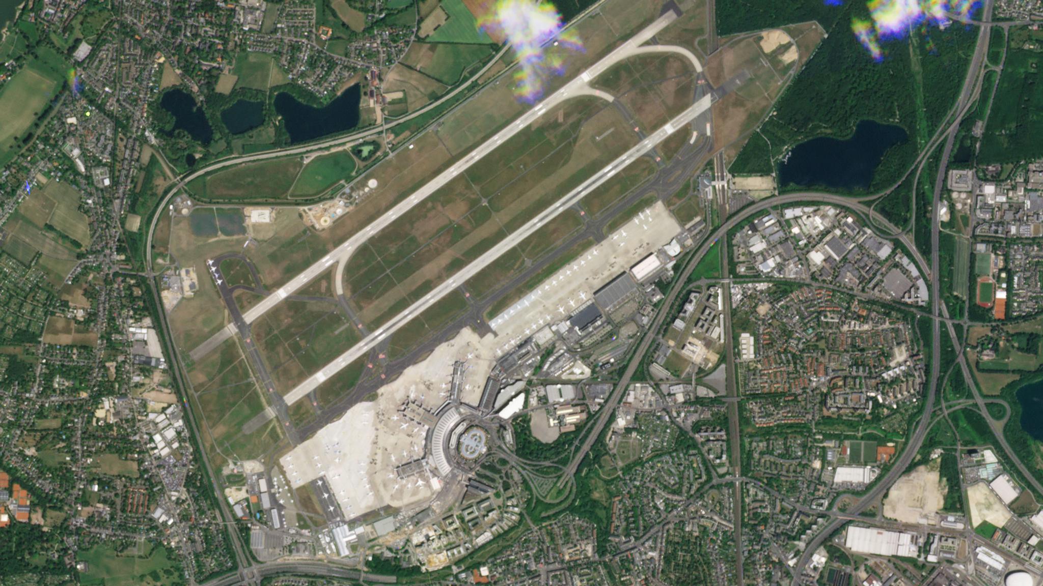
StoriesStoriesPlanet Satellite Imagery Brings Europe into FocusDjordje Zivanic |September 8, 2020|7 min readRead more
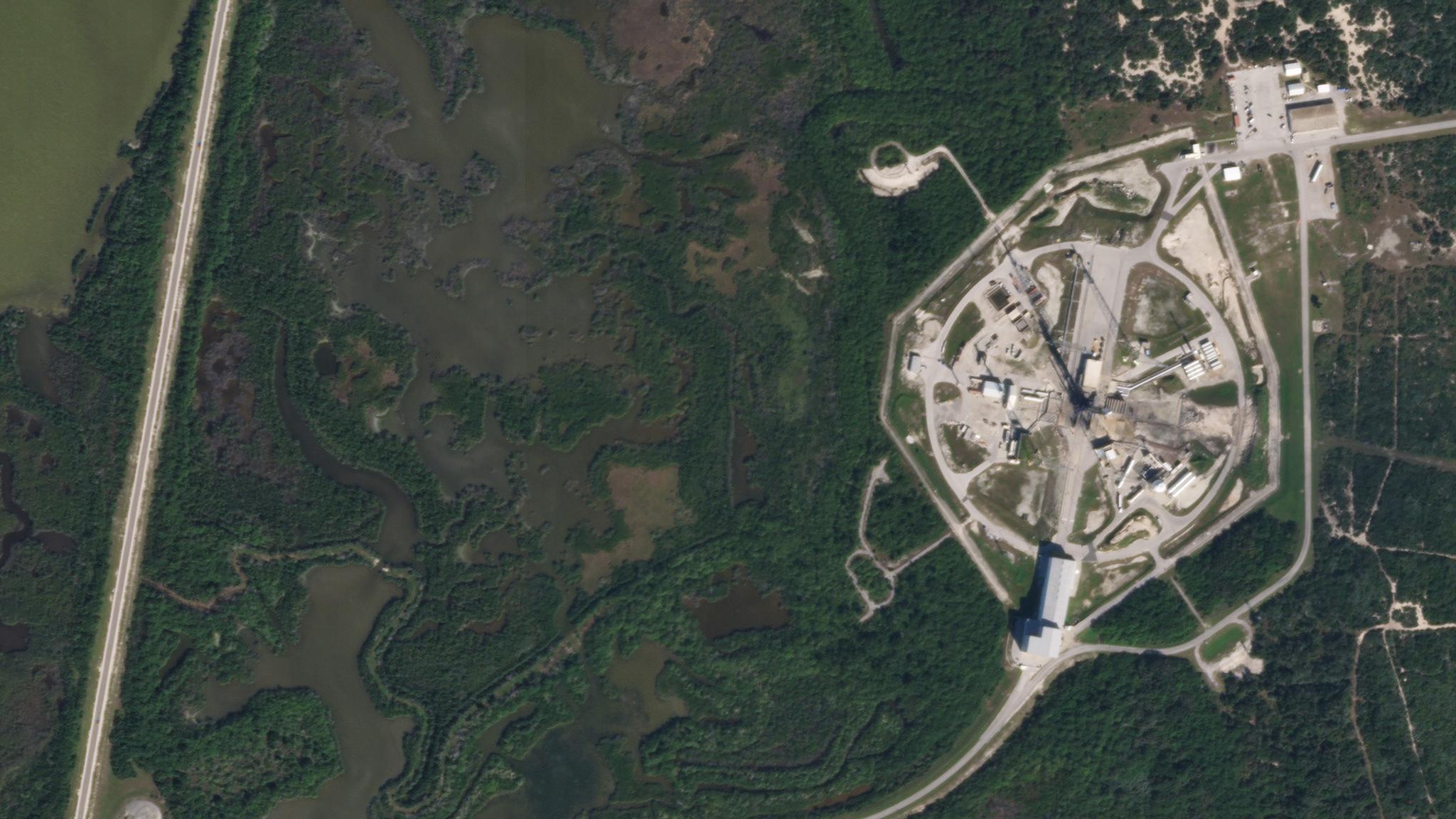
NewsNews26 SuperDoves Hitch a Ride on Arianespace’s Vega RocketMike Safyan |September 3, 2020|2 min readRead more
TechTechPlanet Hack 2020: Our Annual Hackathon Goes VirtualSara Safavi |September 2, 2020|2 min readRead more
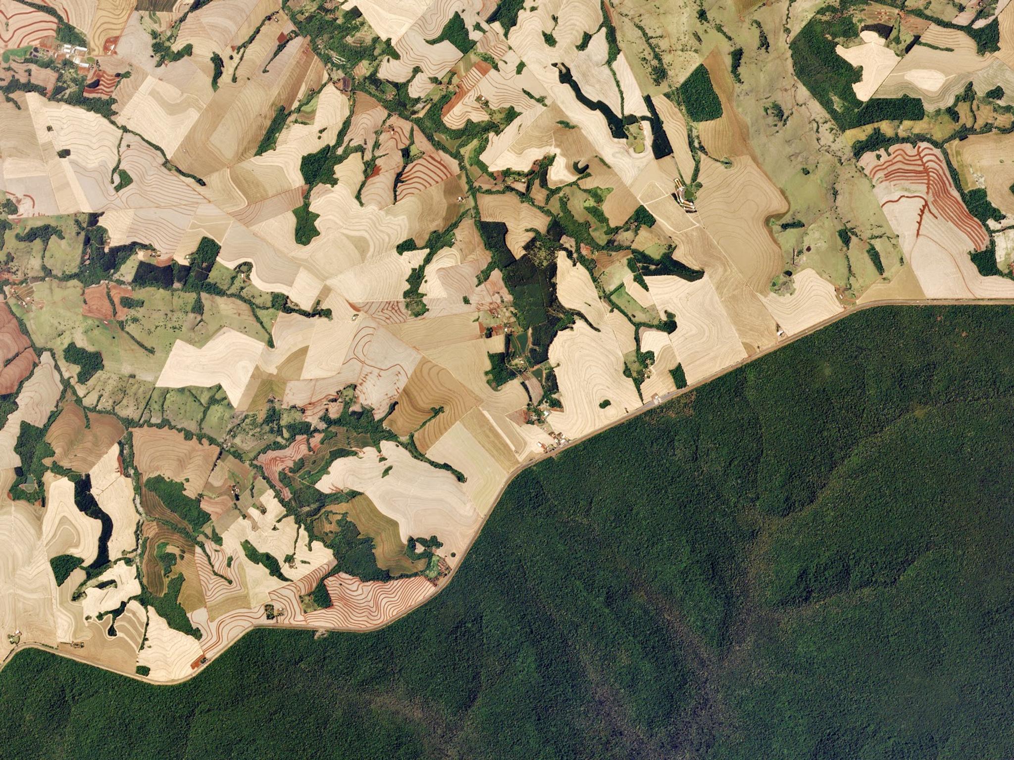
NewsNewsThe Federal Police of Brazil Uses Satellite Imagery to Combat Illicit ActivitiesRicardo Guerra |September 2, 2020|1 min readRead more
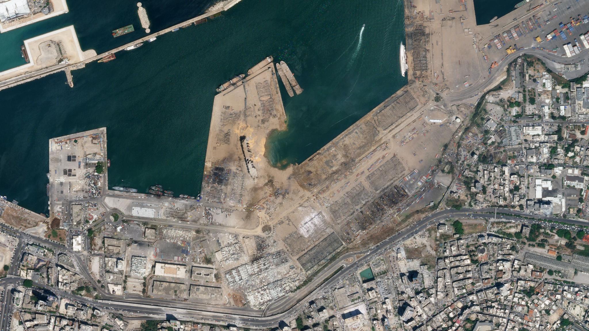
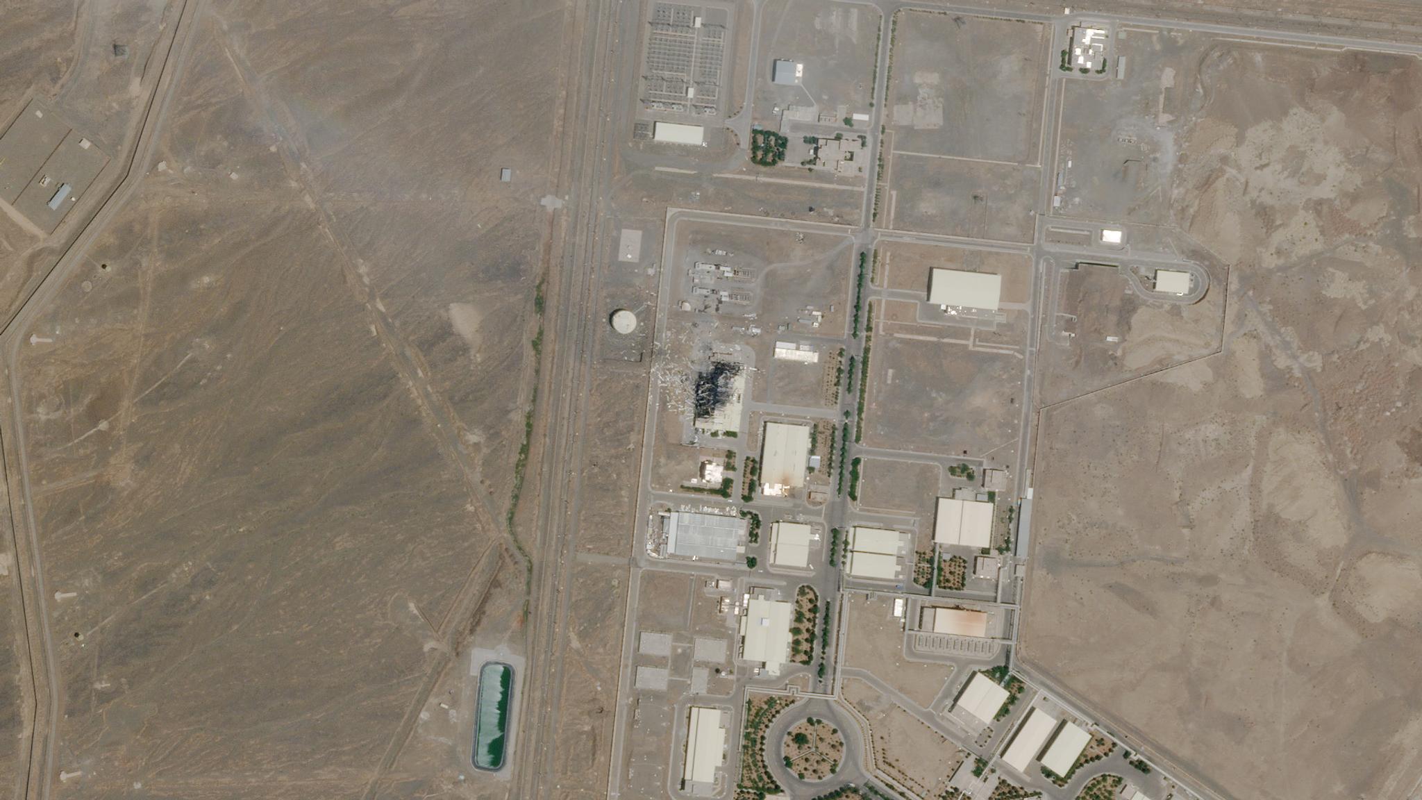
NewsNewsClashing Eastern Superpowers, Explosions in the Middle East, Dark Fishing Fleets and MorePriya Pradhan |August 25, 2020|7 min readRead more
StoriesStoriesNatasha Nogueira on High Altitude Balloons, Cubesats and PerseverancePriya Pradhan |August 19, 2020|11 min readRead more
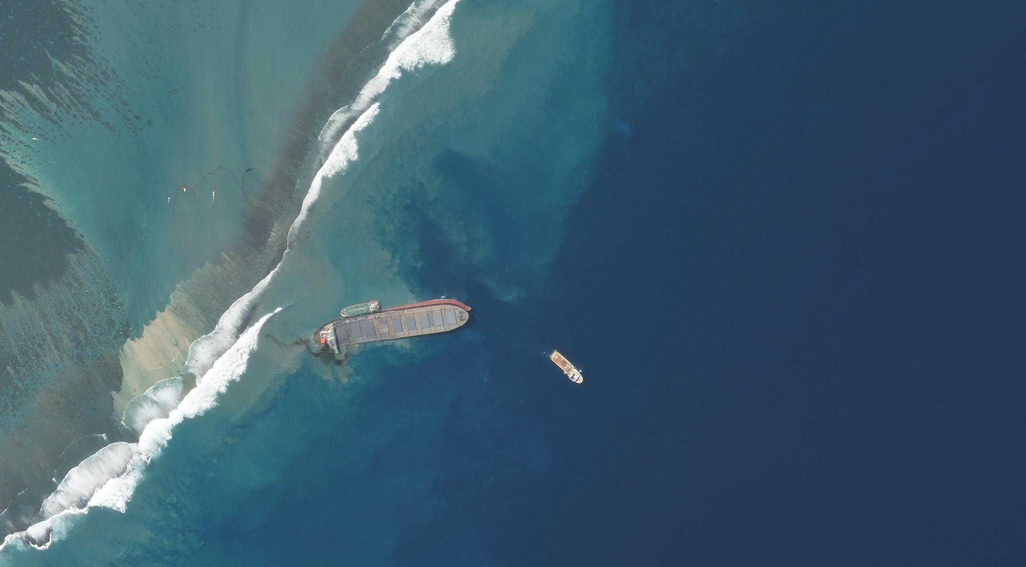
NewsNewsUsing Space to Help with the Mauritius Oil SpillAndrew Zolli |August 19, 2020|4 min readRead more
NewsNewsSkySat Constellation Complete: SkySats 19-21 Successfully Launch Aboard the SpaceX Falcon 9Mike Safyan |August 18, 2020|2 min readRead more
StoriesStoriesHow Planet is Powering xarvio’s Ambition to Support Growers in Optimizing Crop Production GloballyJenna Mukuno |August 17, 2020|3 min readRead more
NewsNewsSkySats 19-21 to Launch on SpaceX Falcon 9 Rideshare MissionMike Safyan |August 14, 2020|2 min readRead more
StoriesStoriesLand Cover and Land Use: Driving Solutions with Planet DataTara O'Shea |August 13, 2020|3 min readRead more