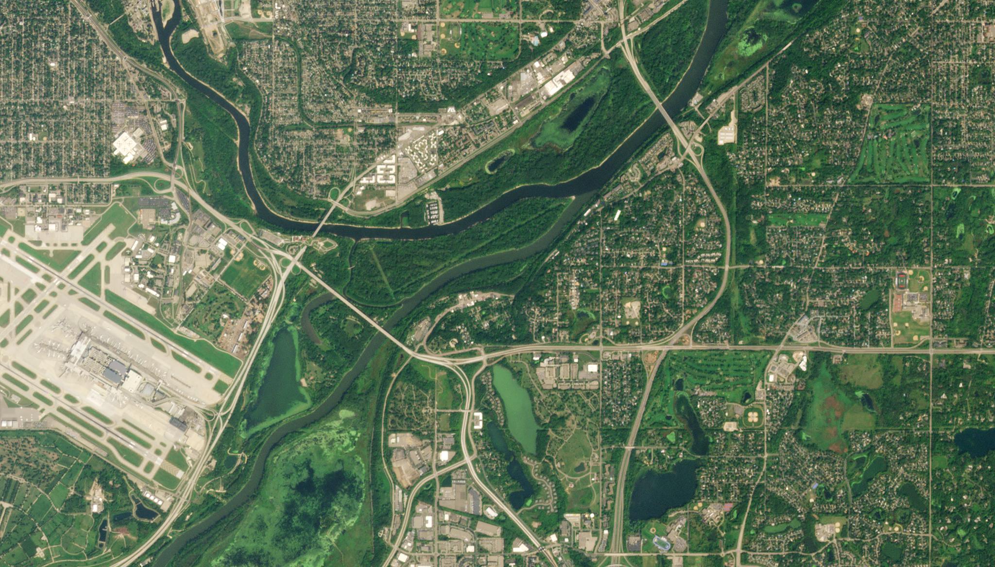
PlanetScope Data and Deep Learning Models Detect Invasive Plant SpeciesJoe Mascaro |November 23, 2022|2 min readRead more
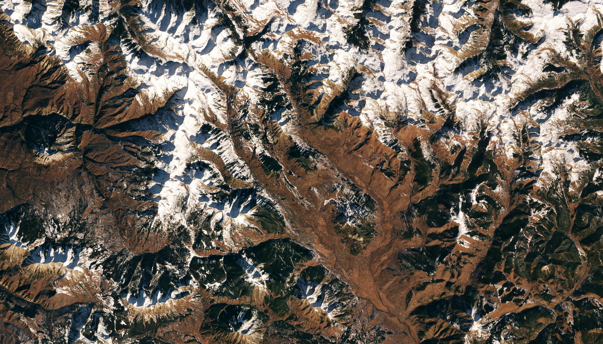
Using PlanetScope to Map Snowmelt In Alpine EcosystemsJoe Mascaro |November 16, 2022|2 min readRead more
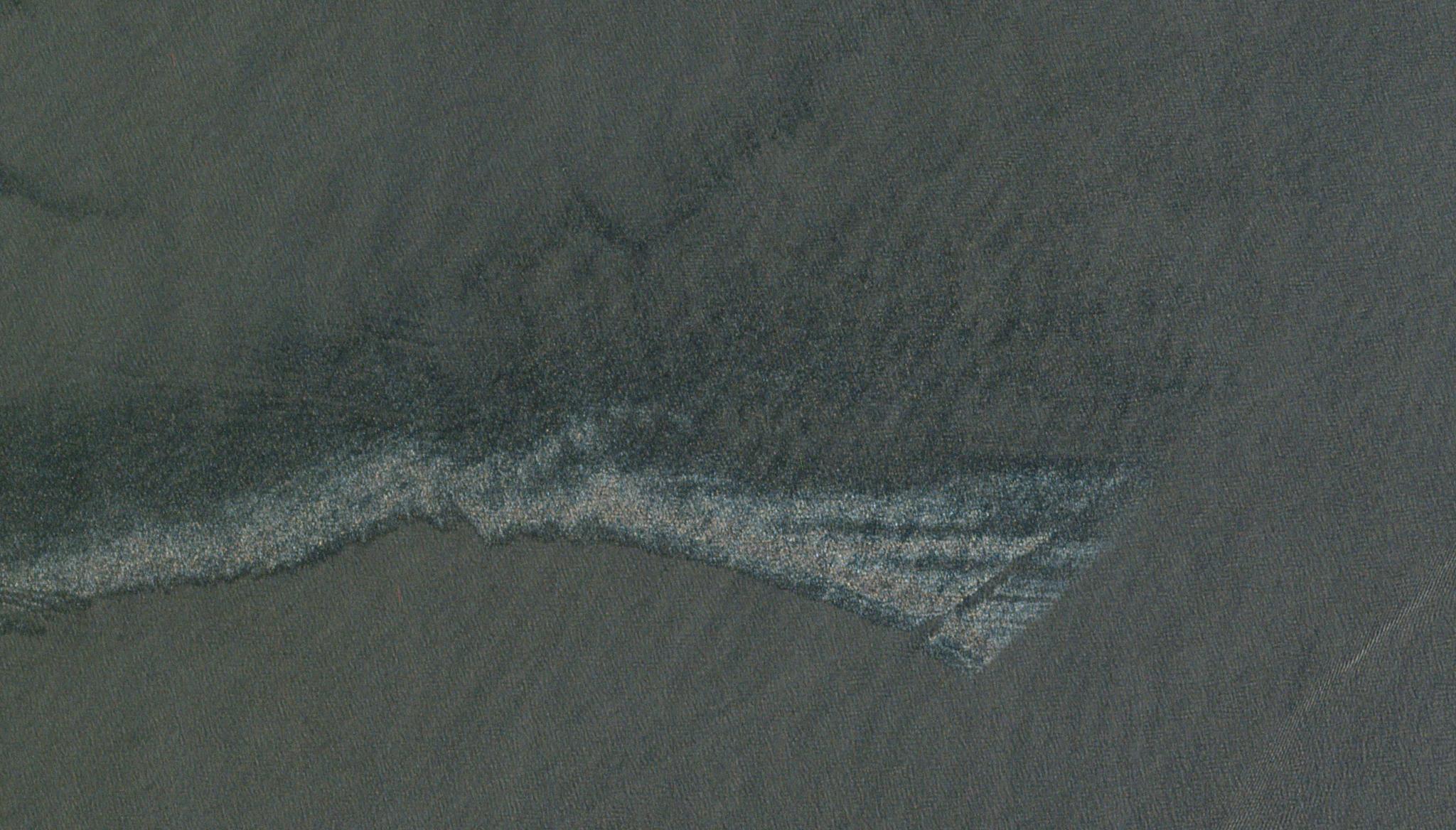
Potential for PlanetScope Data to Aid Oil Response MonitoringJoe Mascaro |November 2, 2022|2 min readRead more
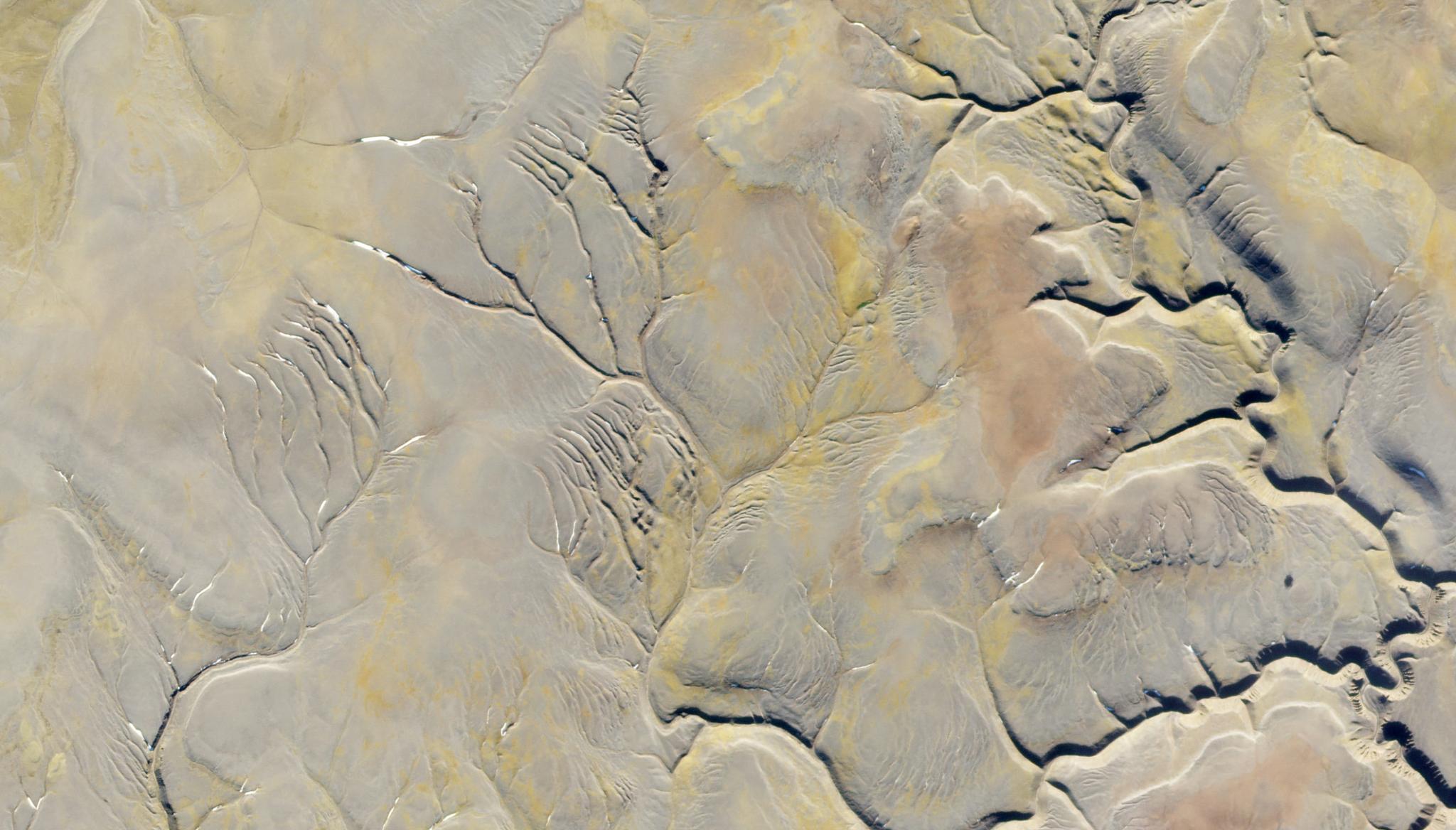
PlanetScope Data Lends Insights into the Ancient Cryosphere of MarsJoe Mascaro |October 19, 2022|2 min readRead more
Planet Images and Artificial Intelligence Used to Detect Coca Paste Production Sites, Supporting Surveillance Strategies Against Drug TraffickingJoe Mascaro |October 6, 2022|2 min readRead more
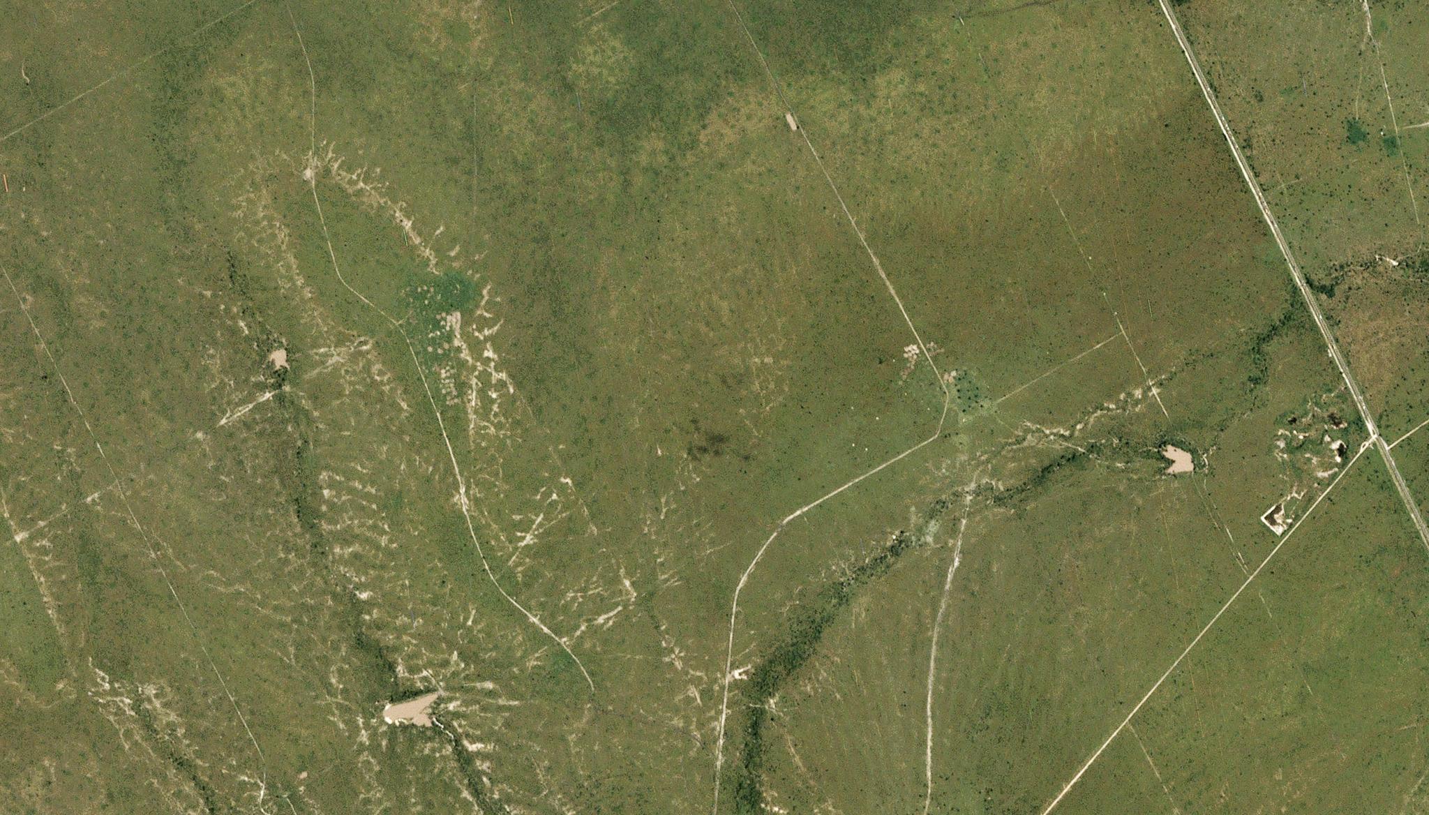
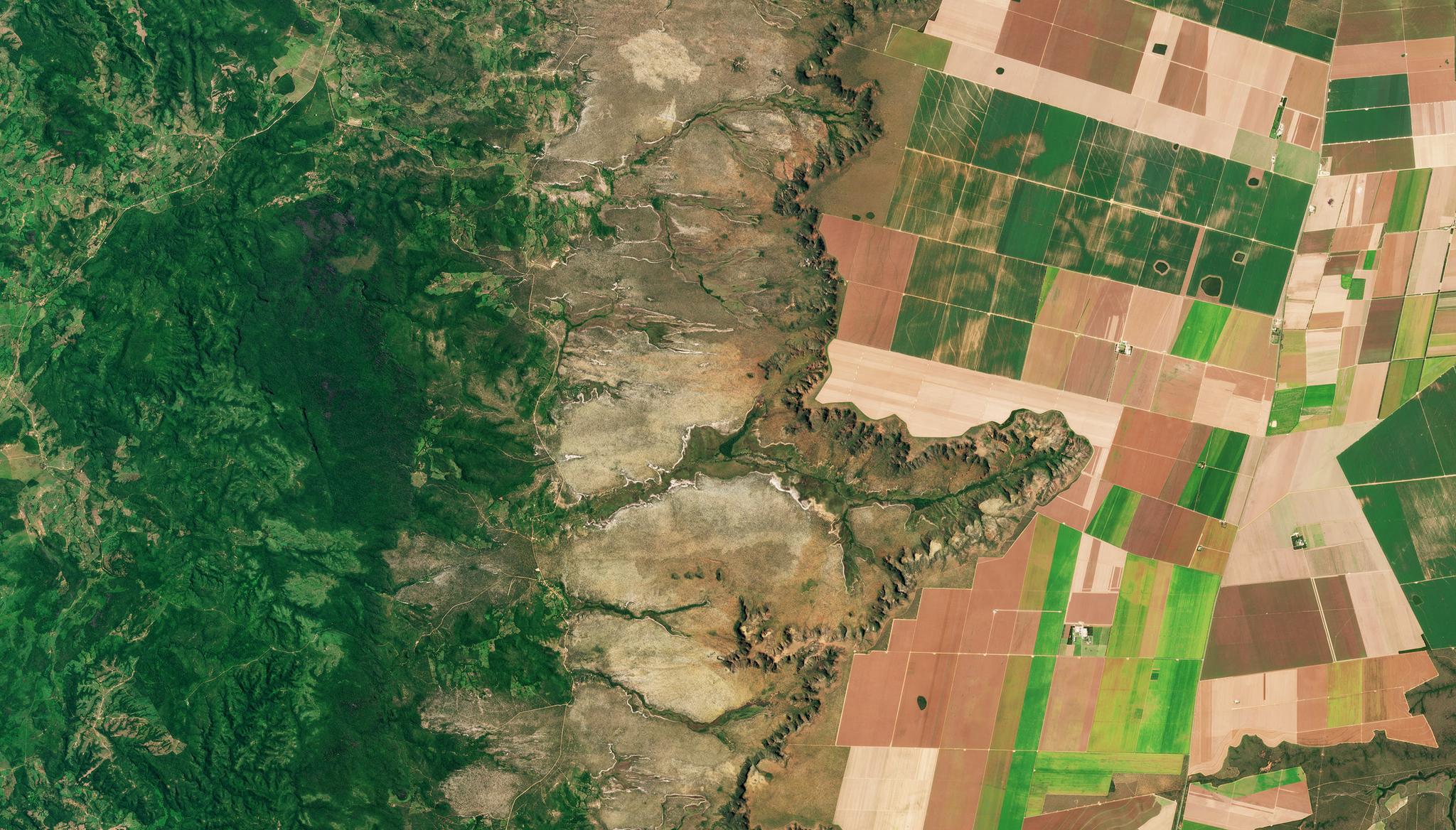
PlanetScope enables identification of livestock enclosures in Kenya to support research in soil health and greenhouse gas emissionsJoe Mascaro |September 28, 2022|2 min readRead more
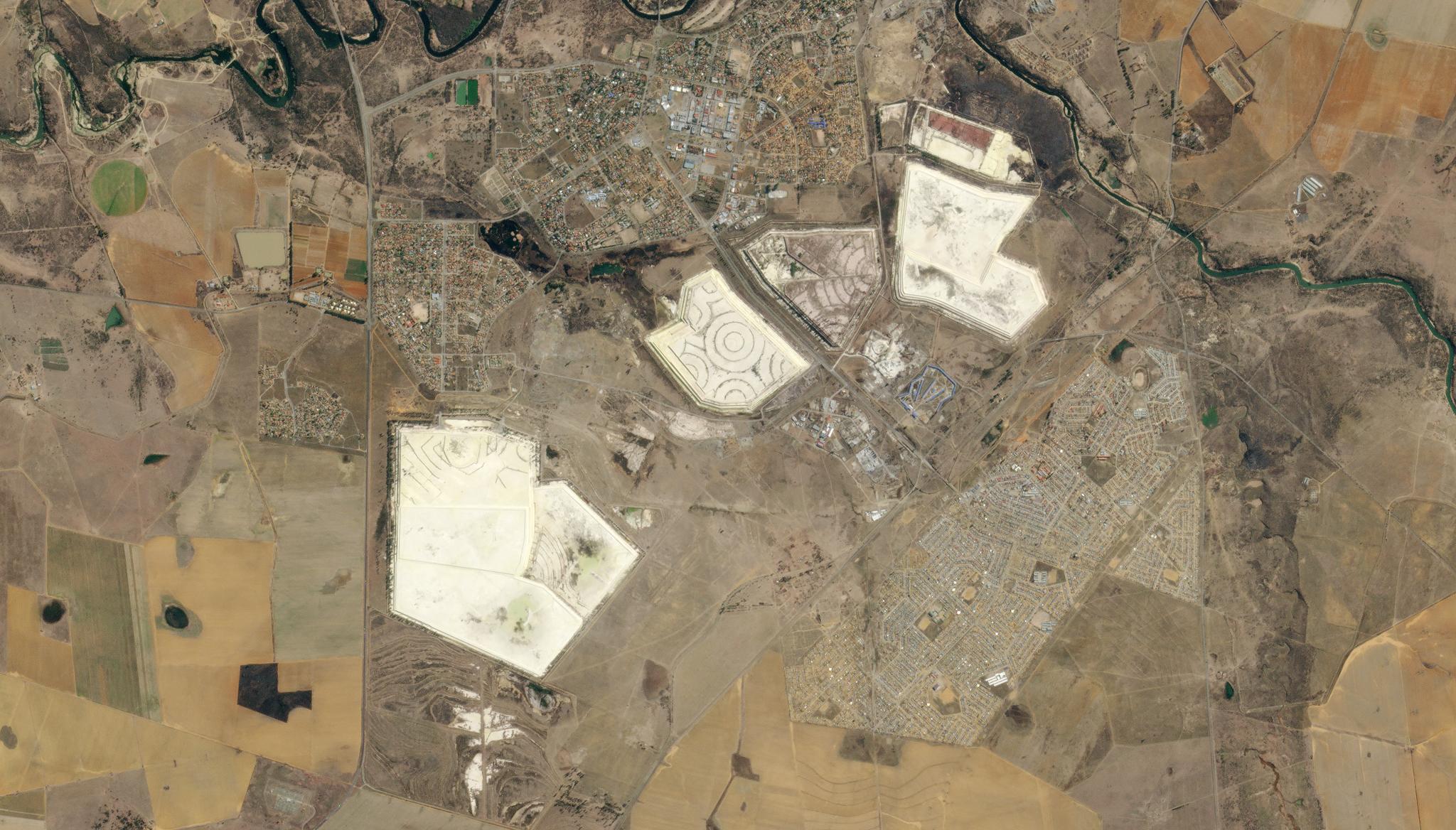
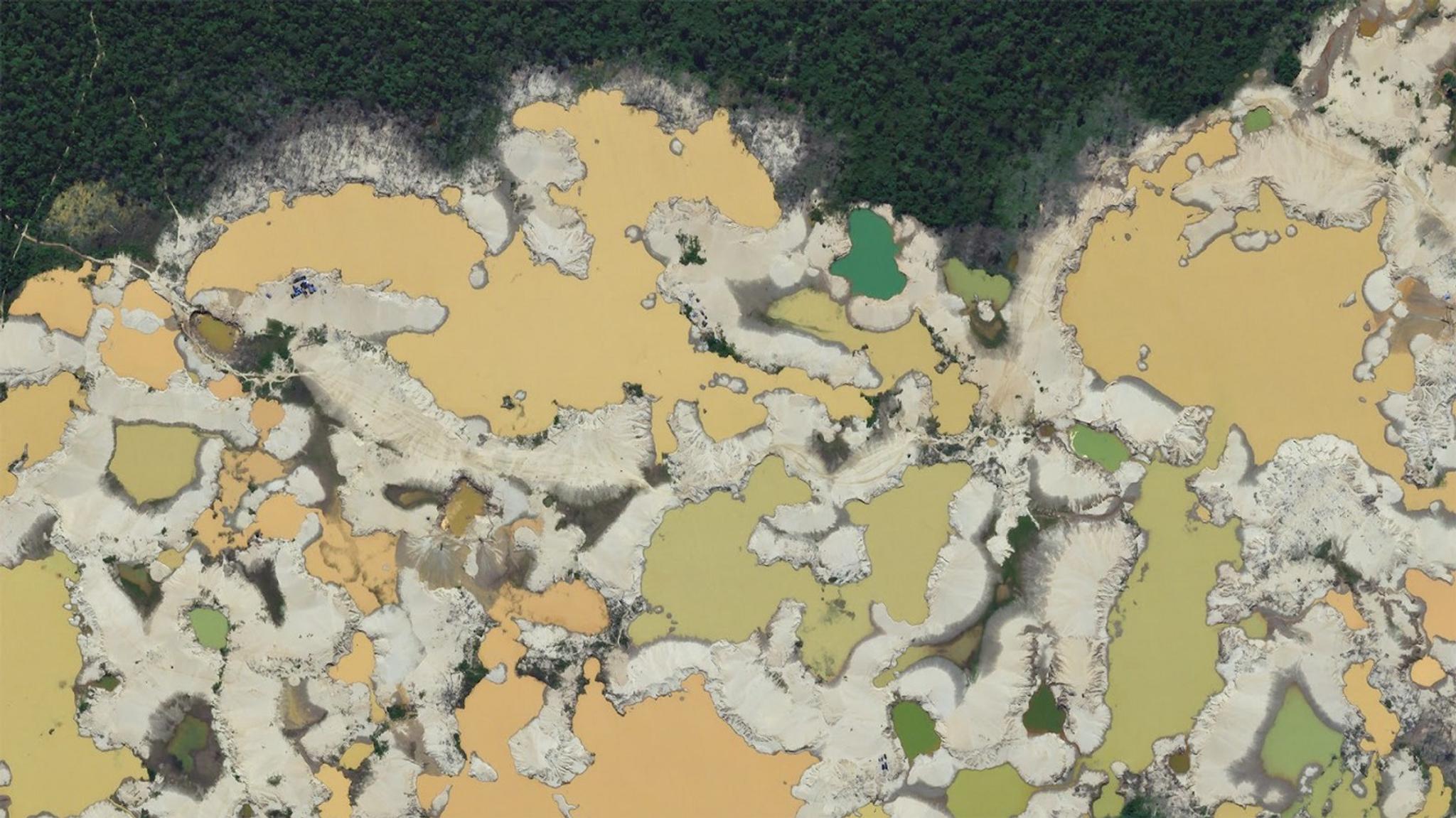
Planet Data Enables Scientists to Build Predictive Models of the Impacts of Mine Tailings Dam BreachesJoe Mascaro |September 14, 2022|2 min readRead more
Scientists Analyze Natural Peatland with Planet Data, Increasing Insights For Climate Change MitigationJoe Mascaro |September 7, 2022|2 min readRead more
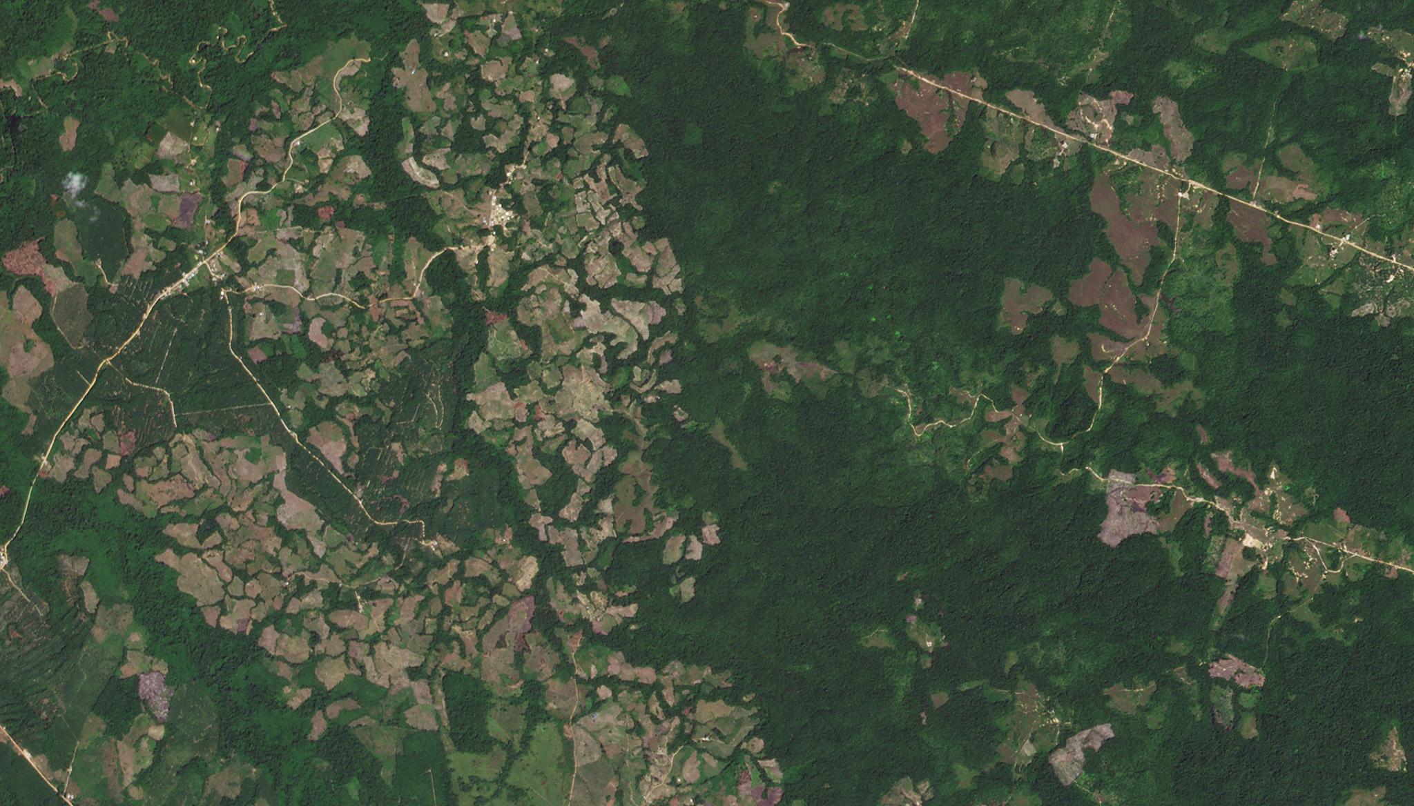
PlanetScope, Sentinel-2, and Sentinel-1 Data Integration for Object-Based Land Cover Classification of Tropical Forests in Google Earth EngineJoe Mascaro |August 31, 2022|2 min readRead more
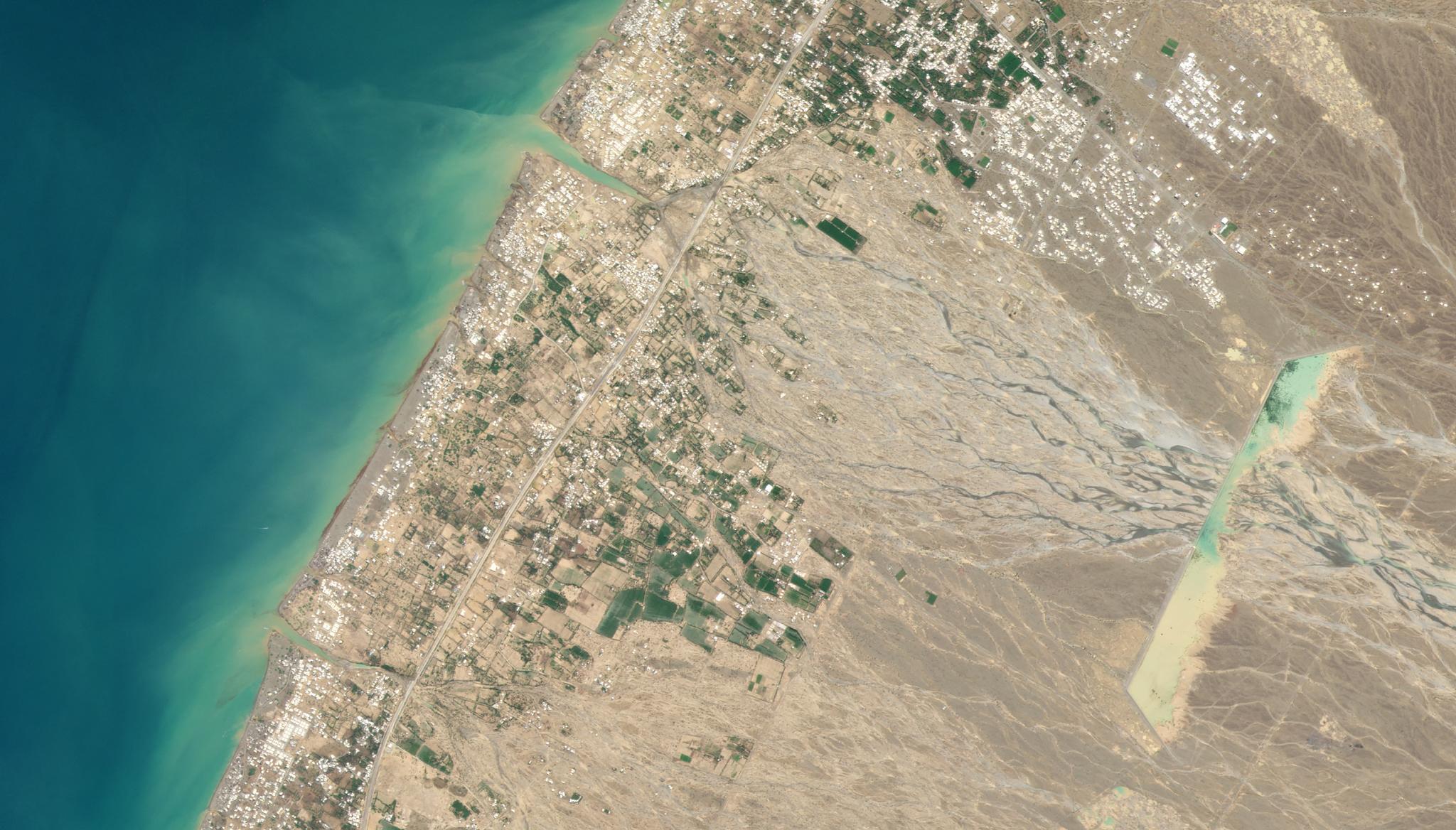
PlanetScope Leveraged to Evaluate the Impact of Cyclones on Maritime Archeological Sites: An Evaluation of Using Big Data in ArchaeologyJoe Mascaro |August 17, 2022|2 min readRead more