
Satellite Data For Transparency in Global Conflict: Radio Free Europe/Radio Liberty on Russia’s War Against Ukraine
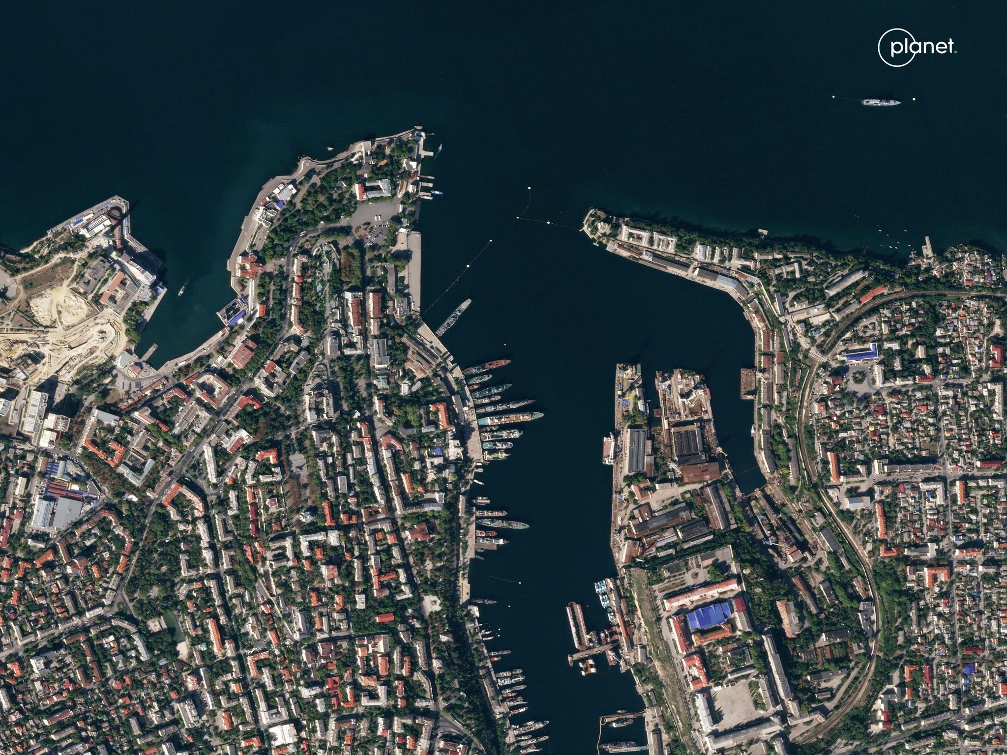
Planet SkySat image of vessels docked in port at Sevastopol, Crimea taken September 23, 2023. © 2023 Planet Labs PBC. All Rights Reserved.
StoriesOn February 24th, 2022, Russia launched a full-scale invasion of Ukraine, commencing the dramatic escalation of the war and the largest attack on any European country since World War II. Over the last two years, Planet customers, ranging from analysts, researchers, and NGOs have leveraged our robust and accessible satellite dataset in novel ways to bring transparency to this global conflict. News and media outlets in particular have demonstrated exceptional investigative work to keep the global community informed on the war. In particular, through Radio Free Europe/Radio Liberty’s (RFE/RL) Schemes investigative unit, journalists have made breaking news discoveries regarding the war.
Notably, Schemes is responsible for revealing increased mass burial grounds across the nation. On the morning of April 21, 2022, a local Ukrainian resident reported a mass burial site in their region. Acting swiftly, the Schemes team used Planet imagery to confirm these reports at the Mangush site in Mariupol within hours, and over the course of the following days, identified a site near Vynohradne and an Old Crimea cemetery site. The RFE/RL team released follow-up site reports using Planet imagery in May and in July, showing site expansions. This work brought vital attention to the scale of the war.
In 2023, Schemes journalists continued to use Planet data to monitor hard to reach locations to reveal critical turning points of the war. For instance, they contributed to reporting on the dismantled Wagner camp, sharing the latest military news on the Russian mercenary group. And in the last three months, RFE/RL has been monitoring Russian air bases with Planet imagery, suggesting an active build-up of weapon production capacity.
“Planet Labs satellite imagery has allowed our team to investigate crimes even in areas that are currently unreachable,” said Kyrylo Ovsianyi, investigative journalist at RFE/RL. “We show the movement of aircraft ships, military equipment, the impact of the war on the environment and structures.”
Hear more from Ovsianyi on the use of Planet imagery by RFE/RL in this video:

Our mission at Planet is to make change visible, accessible, and actionable. RFE/RL has leveraged our data to do just that and we are proud that this customer is using information to foster openness in a time of crisis. We awarded this customer our “Strive for Openness” Planet Purpose Award for 2023 for their exceptional and tireless contributions to shedding light on this global conflict. Their investigative work has been re-reported across the globe in outlets including CNN, The Wall Street Journal, and many others.
Learn more about how Planet data has been used to support investigative research and reporting on Russia’s war against Ukraine with NASA Harvest and Global Heritage Fund.
Ready to Get Started
Connect with a member of our Sales team. We'll help you find the right products and pricing for your needs.