NewsNewsPlanet-AMAGGI Partnership to bring even more innovation to Brazilian AgricultureLina Torres |February 3, 2022|2 min readRead more
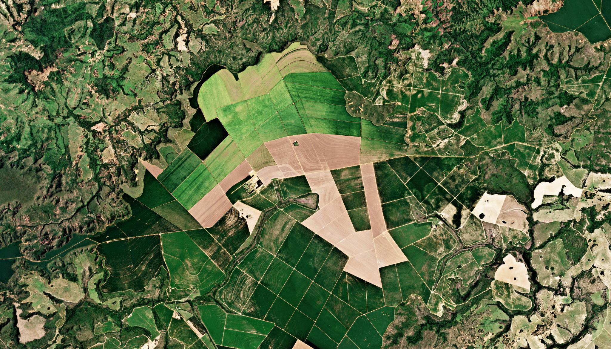
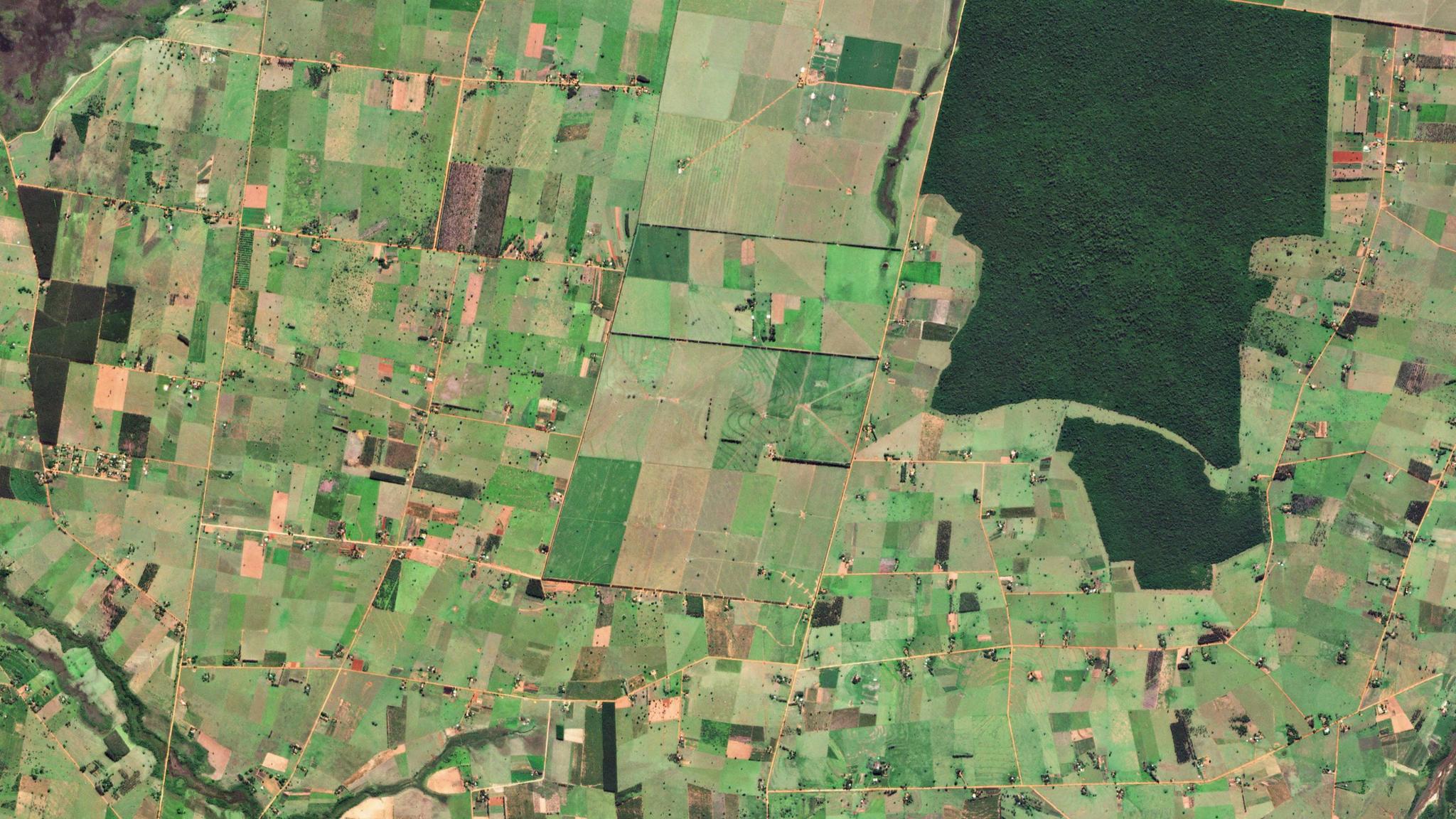
StoriesStoriesHow UNICAMP, One of the Top Universities in Latin America is Using Satellite Imagery to Monitor Integrated Crop–Livestock Systems in BrazilAna Bragança |February 8, 2022|4 min readRead more
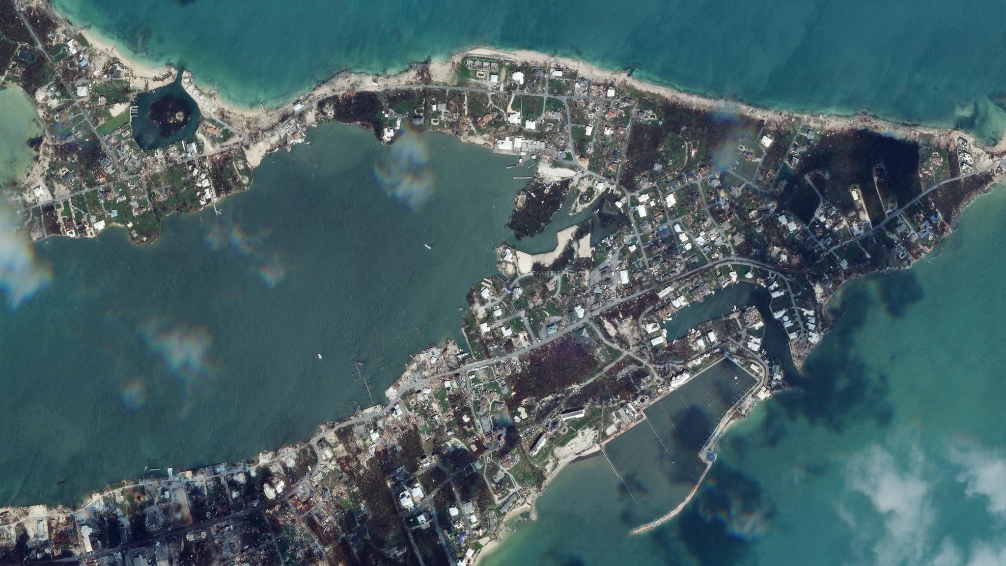
NewsNewsHurricane Dorian, Amazon's Burning Forests, the Iranian Rocket Launch and MoreKrissy Eliot |September 6, 2019|5 min readRead more
NewsNewsAXA Climate Leverages Planetary Variables for Drought Insurance Through Extended Strategic PartnershipPlanet Labs PBC |May 9, 2023|3 min readRead more
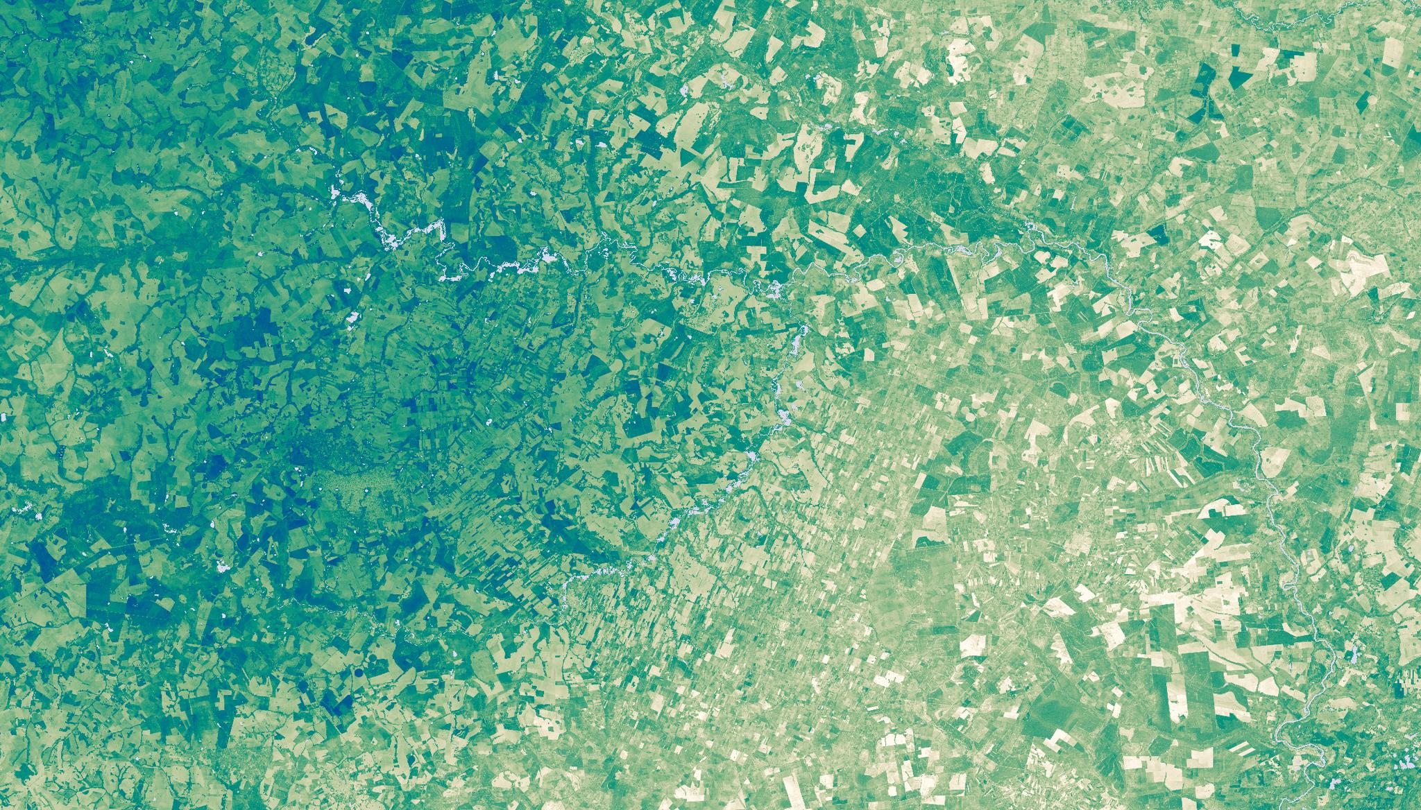
OtherOtherComo Colômbia e Brasil enfrentam crimes em vastas áreas protegidasPlanet Labs PBC |April 8, 2025|5 min readRead more
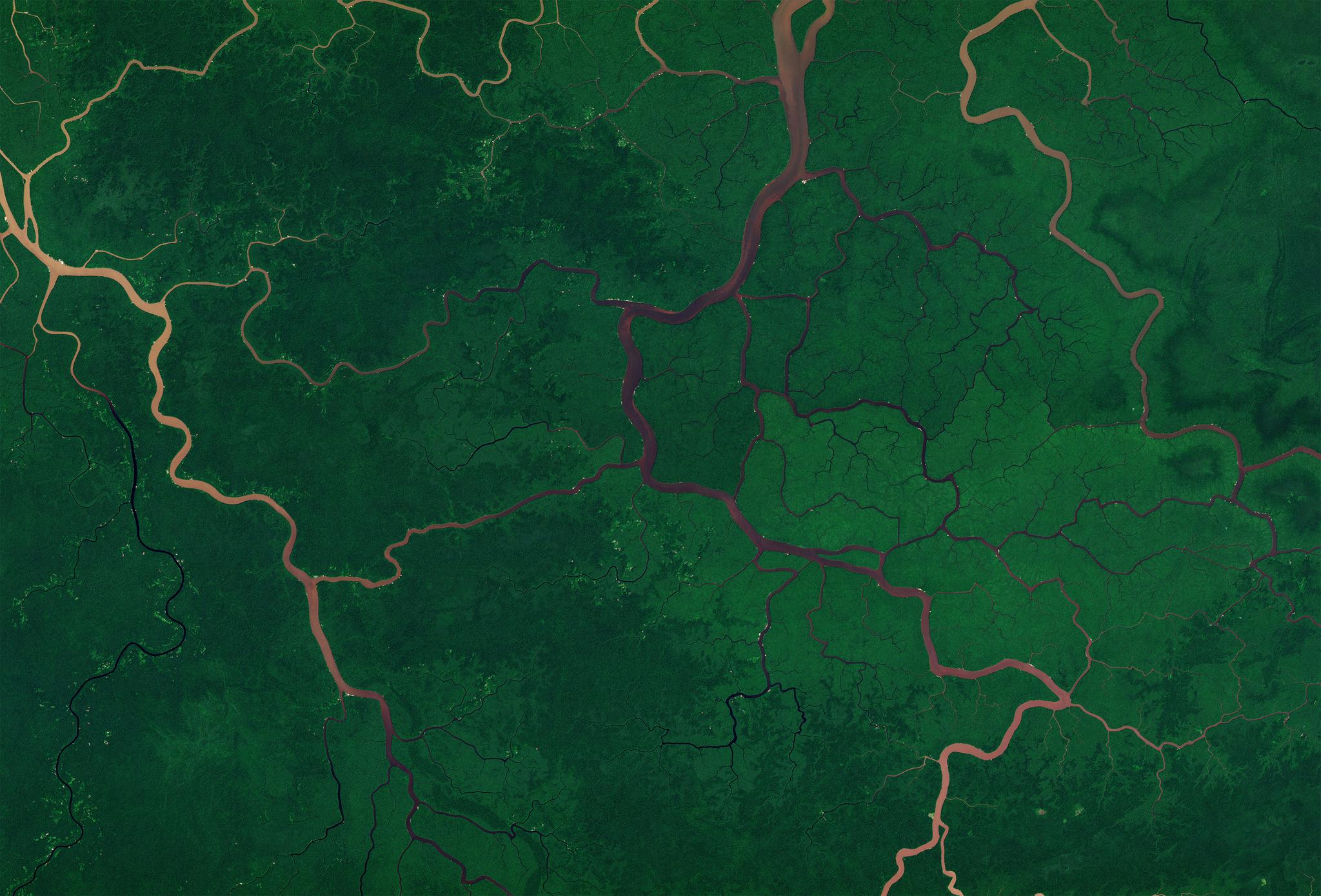
StoriesStoriesHow Colombia and Brazil Tackle Crime in Vast Protected AreasPlanet Labs PBC |April 8, 2025|4 min readRead more
OtherOtherComo a UNICAMP, uma das principais universidades da América Latina, está usando imagens de satélite para monitorar sistemas de integração lavoura-pecuária no BrasilAna Bragança |February 8, 2022|4 min readRead more
OtherOtherCómo Colombia y Brasil enfrentan crímenes ambientales en vastas áreas protegidasPlanet Labs PBC |April 8, 2025|5 min readRead more