
The NICFI Satellite Data Program is Being Leveraged Globally To Advance Science and Protect Forests

Q2 2022 - June 8, 2022
See previous quarters’ blog posts here.
User Stories to highlight:
The NICFI Satellite Data Program conducted a user survey in Q2 2022, receiving over 250 responses from our users, highlighting their user stories and providing feedback on everything from data products to platform partners.
- Respondents represented a diverse group of NGO, Governmental, Academic, and Multilateral users - an excellent representation of our overall diverse group of NICFI users!
From these surveys, we learned about some of the fascinating ways and locations the user community is looking at and putting the high-resolution data to work, including (but not limited to):
- The Laos Department of Forestry, with support from Kokusai Kogyo Co. Ltd., is using the Planet-NICFI Data to monitor forest loss in support of the Measurement, Reporting, and Verification of Reduced Emissions from Deforestation and Forest Degradation (REDD+) requirements for its F-REDD Term 2 agreement, supported by Japan’s International Cooperation Agency (JICA).
- Tanzania’s National Parks Agency is using the high-resolution monitoring to create fire alerts within Udzungwa Mountains National Park.
- The Agrhymet Regional Centre, a specialized inter-governmental agency composed of thirteen countries in the Sahel region, is helping train decision makers in Burkina Faso, Ghana, Niger, and Senegal to leverage the NICFI Satellite Data Program in their forest & land use decisions. They note that the data available through this program is particularly helpful because they can validate changes in areas where access is difficult due to insecurity.
- The Bolivian Association for the Research and Conservation of Andean-Amazonian Ecosystems (ACEAA) leverages the NICFI Satellite Data Program to detect deforestation and fires in the protected areas of Porvenir, Puerto Rico, and Santa Rosa jurisdictions. They note that the data available through this program is particularly helpful in seeing through the clouds in high-altitude Bolivian regions.
- The Technology for Wildlife Foundation is putting the data to work in India, monitoring land use change near coastal mangrove and forest ecosystems. They note that the data “allows us to look at change in land use and biomass at a granular level; it is invaluable for our various [conservation] projects.”
- The University of Brasilia has included the data in its remote sensing classes.
- WWF-Brasil and the Kaninde Ethno-Environmental Defense Association are using the NICFI-Planet data to support indigenous communities monitoring and defending their territory in the Brazilian Amazon. They note that the information helps their early monitoring and alerts system, which is complemented by an indigenous patrol team that performs surveillance on the ground. The data from the NICFI Satellite Data Program also helps the indigenous organizations to endorse legal complaints to the relevant authorities, as well as to produce communications materials to bring greater attention to the importance of protecting indigenous territories in the Amazon.
- Universitas Brawijaya in Indonesia is using the NICFI Satellite Data Program to improve biomass and carbon maps and models, finding the high-resolution remotely sensed data to be a more effective and efficient way compared to traditional terrestrial surveys. The research team is now working towards publications and incorporating the data into their teaching for remote sensing students
Events & Publications to highlight:
- Launch of NICFI Program Resources and Courses on Planet University!
- New Social Media Playbook - we want to hear from you, our user community!
- NICFI Satellite Data Program highlighted at the World Forestry Congress, including remarks from the Norwegian Ministry of Climate and Environment, The Democratic Republic of the Congo Ministry of Environment, and the Forestry Department of the Food and Agriculture Organization of the United Nations!
- ESA’s Living Planet Symposium saw several presentations and abstracts from the NICFI Satellite Data Program, including large area mapping of smallholder agriculture and monitoring of small-scale forest disturbances like logging in the Congo Basin. Also at the event, the GEO Indigenous Alliance hosted a session entitled “Towards COP27: Environmental Equity and Indigenous Climate Leadership” where they presented its indigenous community-led, EO based projects in need of support that address the following interrelated areas: women and youth empowerment, climate adaptation, food security, and disaster risk management.
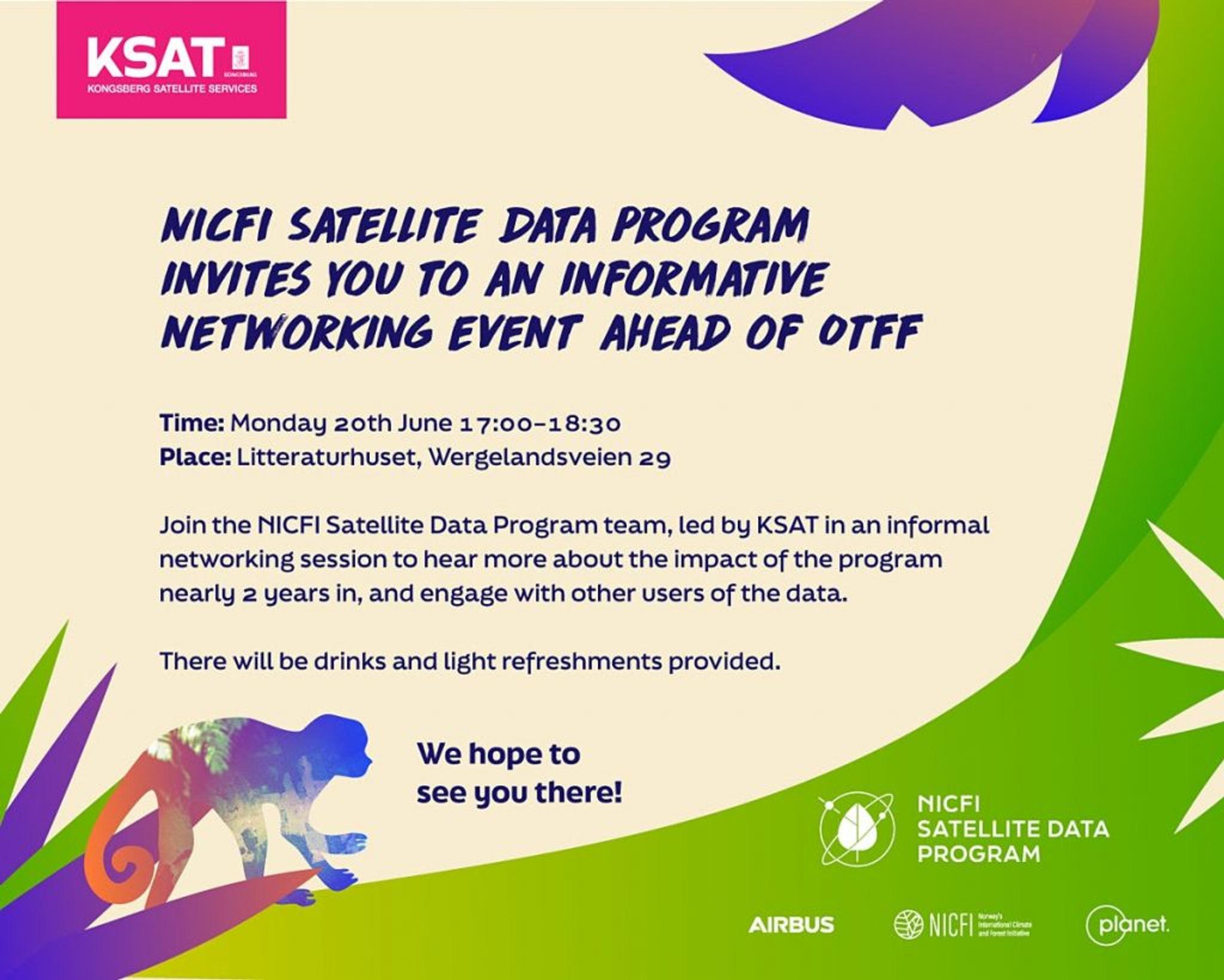
- Later this month, we will be at the Oslo Tropical Forest Forum and hosting an opening reception. For members of the NICFI Satellite Data Program community also attending, please register for this side event here.
Ready to Get Started
Connect with a member of our Sales team. We'll help you find the right products and pricing for your needs.