
The Observatory of Extractive Industries (OIE) Shines a Light on the Mining Industry Using Planet’s Satellite Data
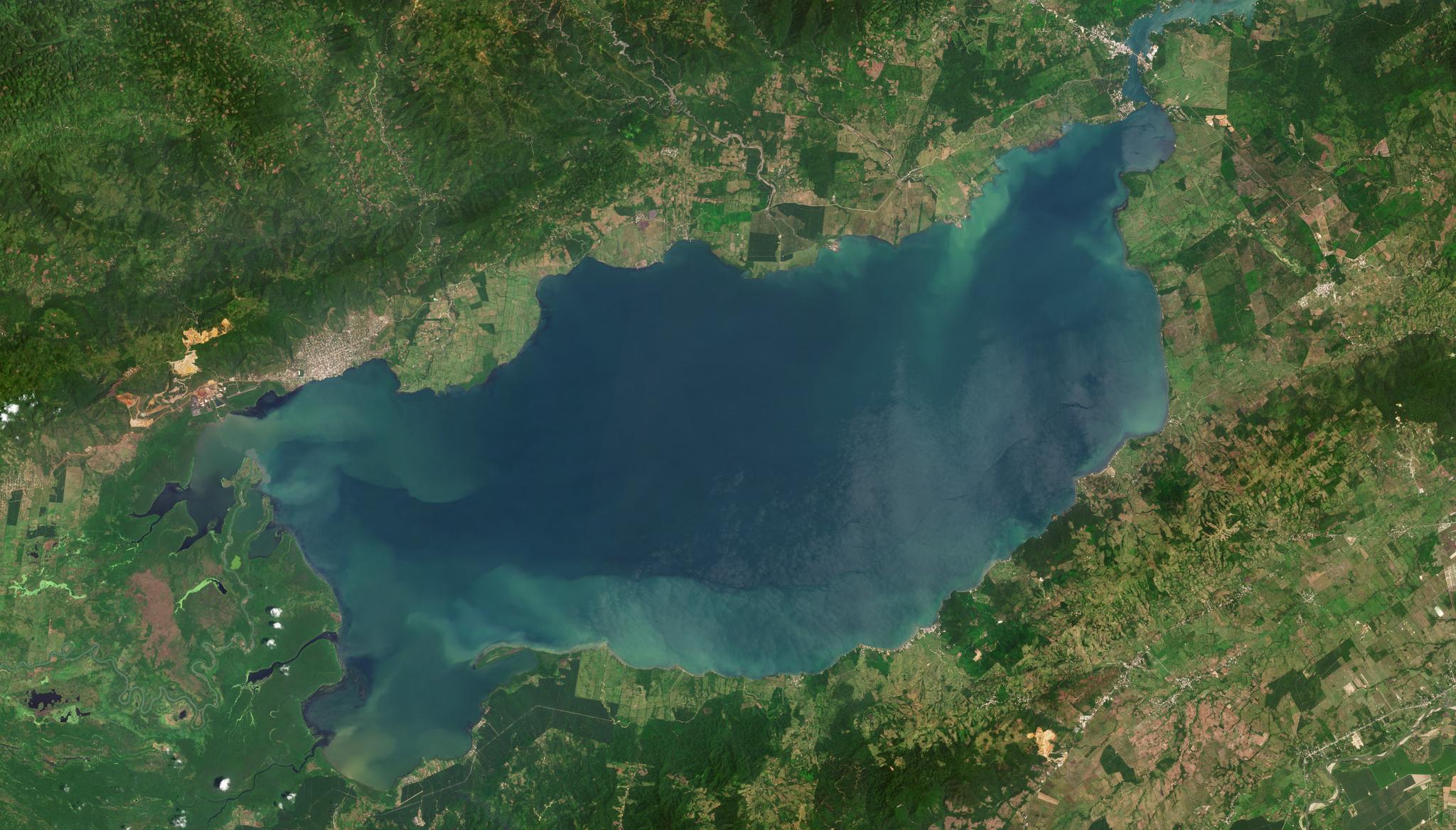
Mosaic of PlanetScope images collected over Lake Izabal in Guatemala on April 6, 2022. © 2022, Planet Labs PBC. All Rights Reserved.
StoriesObservatorio de Industrias Extractivas, or the Observatory of Extractive Industries (OIE) is a research platform dedicated to providing data on mining companies and other extractive industries in Guatemala. Through an interactive map-based platform, the organization provides critical datasets and official information to help generate reports on the actions of these industries. To shed light on the mining industry, OIE uses satellite imagery to monitor Guatemalan mines over time. However, OIE realized that satellite imagery from other providers has missing data, particularly over mines of interest. To close the gap in their data, OIE turned to Planet for our transparent, high-cadence imagery.
“Our most important work is acquiring, cataloging, and publishing government data in one centralized and accessible location, such that anyone can access it immediately,” said Ben Chang, researcher and cartographer at OIE.
This also includes geospatial data to help understand the location and status of extractive projects. As geospatial data requires special software and certain skills to use, OIE also works to generate maps and visualizations that can be easily read and shared by anyone regardless of literacy, technical ability, or geographic information system (GIS) skills.
To help support their platform, OIE began a subscription with Planet’s data services last year, and Planet has been important to OIE for a few reasons, according to Ben Chang at OIE:
- Affordability - “Planet offers a low barrier to entry which is very good for the GIS and satellite image vendor space, especially for high quality. It is something we could afford, and it allowed us to select the many small areas we were interested in.”
- Ease of Use - “Planet's platform is also easier to work with than other platforms. To put it simply, you appeal to a customer base that is more of an everyday user.”
- Cadence & Reliability - “It is extremely important to us to have reliably dated high frequency raster images. Planet is trustworthy and open about the provenance and management of their images, which means that we can trust what we see in their satellite images 100%.”
- Transparency - “Planet provides transparent data. While looking at other data sources, I came across areas with missing data in high quality satellite imagery where major mining projects were. We believe that the point of leveraging satellite data is to be able to see what these companies are doing. Through Planet, we have access to high quality images that others may not have, and this allows us to keep tabs on the activity of these companies.”
As such, Planet data has been crucial in a number of unique OIE projects.
Using our high cadence satellite imagery, OIE used historical data and government archives to gather information about a local mine that had generated controversy around its environmental impact near Lake Izabal. OIE observed that the mine’s latest designated area includes new territory, and Chang suggests that this designation may open up the region to additional adverse environmental impact.
“It is important to note that this mine is not visible in some other satellite imaging platforms,” said Chang, noting the need for data transparency. “It is very important to us that Planet does not have this limitation.”
And for another mine, OIE used Planet images to identify if a project was operating outside of its concession by overlaying government provided shapefiles outlining the shape of the area on top of Planet's high quality rasters. Beyond researching the spatial boundaries around mines, OIE has also used our high-cadence data to evaluate whether the mining projects have conformed to the time periods and physical boundaries within which they can legally operate according to the Guatemalan government.
These types of insights enable OIE to share critical information to hold the government and extractive industry accountable. With Planet as a daily tool, OIE can leverage QGIS and R for all the mapping and GIS analysis work they do. “It has become normal for us to keep open streaming connections to Planet Basemaps for daily use. Having access to Planet imagery takes all the guesswork out of what we are looking at, and gives us the ability to look back at any relevant dates,” said Chang. “It is very cool to be able to read the government documentation for any given project and see a date, and think ‘Hey! I have a time machine! I can check [that].’”
Moreover, OIE is able to leverage Planet’s archive to visit imagery from the past decade. “It also allows us to do quick and dirty comparisons to see what kind of environmental damage has been done. The fact that we can stream Planet data directly into QGIS also means that comparisons between basemaps and Ministry data are immediate and constant. The high quality also means that we can have different Basemaps loaded and do eyeball comparisons of change over time to decide whether or not there is more to look into with a project.”
OIE dedicates their time and resources to providing this information freely to local communities that are affected by mining operations and disproportionately burdened by the environmental damage mining operations can cause. As computer access is difficult to obtain in the region, OIE also creates physical versions of the maps and data they collect, making this data accessible to local communities. OIE believes that a community should have the right to a full picture before deciding whether or not they want to allow a mining operation in their territory.
In response to climate change and the demand for a global energy transition, governments and industries have started to turn towards the mining of “green” minerals, including lithium, nickel, and copper. These minerals are rising in demand as they are used to manufacture clean energy technologies. However, OIE wants to ensure that such a demand does not lead to ecological degradation and threats to human rights and well-being along the way.
“The future of the world is going to demand green transition metals and we know that means that the pressure on these communities is going to increase over time, and giving local communities free and open access to the maps and information they need to face this pressure on more equal footing is our primary objective,” said Chang.
Each week, OIE shares information about important developments in the mining industry in Guatemala from their Twitter handle @oie_gt. By providing OIE with transparent satellite imagery, we are working to help them shine a light on the activity of extractive industries and promote industry accountability. We are proud to work with OIE as they support human rights and environmental protection throughout Guatemala.
Ready to Get Started
Connect with a member of our Sales team. We'll help you find the right products and pricing for your needs.