Tech

Introducing Planet Launch Programs

Tech

Today, we’re excited to announce Planet Launch Programs, a new offering that will help our customers get more value out of Planet’s data and drive more return on their investment. Planet’s three complementary constellations generate a dataset of unprecedented scale that helps our customers gain insights and ultimately make better decisions. We […]
A Sneak Peek at Imagery from our Next-Generation of Dove Satellites

Tech

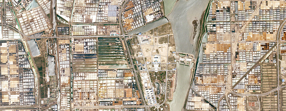
Launching frequently (four times a year, on average) is part of our DNA. This rapid approach to aerospace allows us to iteratively test and deploy new technologies into orbit that will sustain our global monitoring mission and drive increased value for our customers over time. Last December, we launched 33 satellites aboard […]

Top Takeaways from the Satellite Interoperability Workshop

Tech

About a month ago, more than 100 leaders from the geospatial industry, government, and NGOs gathered at the USGS Menlo Park campus to discuss one of the biggest questions facing the Earth observation field: is the data from different satellites “interoperable,” or exchangeable, with one another? How much effort are we spending […]

Planet Releases OpenLST, an Open Radio Solution

Tech

To encourage innovation in radio communication, Planet is releasing OpenLST, an open radio solution for communicating with remote instruments, vehicles, and stations using low-cost commercial components. OpenLST builds on experience gained from Planet’s UHF radio, which has been successfully integrated and used on over 200 satellites in space. Using this radio, Planet […]

Planet’s Framework for Analysis Ready Data

Tech

Anyone who works closely with geospatial data knows that there is a great deal of labor involved in preparing the data before analysis begins. In fact, much of modern geoprocessing systems are set up to make the data ready for analysis. The industry understands that geospatial data must become more user-friendly and […]

Announcing Planet’s Developer Center

Tech

Today we’re excited to launch Planet’s Developer Center, a hub where technologists can learn how to use satellite imagery and analytic tools to uncover new insights about our changing planet. Whether you’re a developer, an imagery analyst, a researcher, a customer, a partner, or just a curious person interested in a dynamic […]

Call For Submissions: Planet Daily Change Challenge, Copernicus Masters

Tech

Developers can now pre-register for the Planet Daily Change Challenge, part of the 2018 Copernicus Masters. Launched in 2011 on behalf of the European Space Agency (ESA), the Copernicus Masters is an international competition that awards prizes to developers who leverage Earth observation data to solve important commercial and social problems. Planet’s global high-cadence […]

How Planet Built a Cloud Native Geospatial Architecture

Tech

Planet’s mission from the beginning was to disrupt space. But the rise of cloud computing in Silicon Valley six years ago gave us another opportunity on the data side: to build our whole ground segment in a cloud native manner. Everything Planet has built – from the ground stations and our data […]

Analysis-ready Mosaics: Introducing Surface Reflectance Basemaps

Tech

In a previous post, Alan introduced our Surface Reflectance imagery, an exciting product that delivers an accurate picture of what’s happening on the ground. By accounting for the effects of the atmosphere, sensor characteristics, and incident solar radiation, we aim to provide as near as possible to true reflectance of the Earth’s […]