
How Upstream Tech’s Lens Platform and Planet Imagery Help One Tree Planted Visualize The Future of Global Reforestation
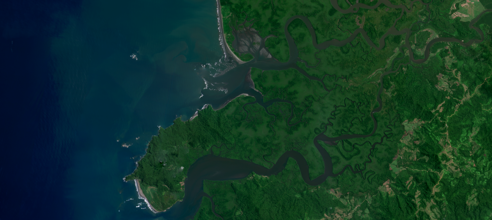
Image of mangrove forests in Terraba Sierpe National Wetlands, Costa Rica, one of One Tree Planted's reforestation sites. © 2023, Planet Labs PBC. All Rights Reserved.
StoriesIf a tree grows in the forest, but nobody’s there to see it, does it justify widespread reforestation investments? That's the conundrum One Tree Planted faced as its operations have rapidly expanded in the last few years.
The organization helps local communities plant trees to restore habitat for biodiversity, promote cleaner air, and absorb CO2. Since 2014, they've developed partnerships in over 80 countries and planted over 100 million trees. With partners everywhere from California to Malawi, monitoring the progress and health of those trees becomes increasingly challenging.
“One of the biggest barriers to expanding global reforestation is transparency, risk management, and confidence that these projects are happening,” said Ross Bernet, Monitoring Manager at One Tree Planted. “There’s huge interest from a wide variety of public and private sector foundations to contribute to environmental causes. But as of yet, there’s no single standard, trusted transparency mechanism to monitor all of these trees.”
Visibility is vital for donors, and for generating enthusiasm within local communities. “If local communities don’t want trees on the land, they’re not going to be there,” Bernet explained. “So you need them to be seeing the benefits.”
Satellite imagery provides the necessary transparency. It offers a way to monitor the progress of projects at scale and build confidence reliably. It also generates insights to improve decision-making and helps local communities showcase their work to a global audience.
Despite the number of solutions out there, Bernet had a hard time finding one that fit his criteria for easy-to-use, cost-effective, high-resolution satellite data. Free earth observation applications don't provide recent imagery or analytics and often require custom code for every project. With the desktop GIS software options Bernet explored, he wasn't finding a solution that brought everything together. Then he discovered Upstream Tech’s Lens platform.
Lens is a remote monitoring platform that makes accessing satellite data easier and more affordable. “We’re really motivated to break down the barriers to accessing geospatial data and use it for environmental good,” said Carolyn duPont, Upstream’s Chief Operations Officer. This was the basis for their collaboration with Planet, wherein PlanetScope data is integrated into Lens.
“Planet has such a solid and growing set of data products that traditionally have been more accessible to larger organizations and governments,” duPont said. In collaboration with Upstream, smaller entities like One Tree Planted can leverage that data too.
Planet’s unprecedented archive, coverage, and cadence of accessible and reliable imagery combine with Upstream’s user-friendly platform to help smaller companies jump a number of difficult hurdles. “Imagery uncertainty, the availability, and timing of imagery — these are core problems for folks who are trying to set up remote monitoring workflows but don’t have the resources they might like,” duPont explained.
The Lens platform helps solve these problems, making Planet’s robust catalog of imagery easy for users to interact with — and, crucially — cost-effective. Equipped with Lens, One Tree Planted can access specific imagery when needed without the technical challenges and cost constraints of other platforms. “I can upload a boundary file, and that day - sometimes 20 minutes later - download archival imagery,” Bernet said. “I can buy just the little piece of imagery I need. And sometimes a very affordable image segment is a game-changer.”
Lens provides immediate access to vital statistics drawn from satellite data. This helps more accurately track projects, communicate progress, and understand the real impact of what the company is achieving. Bernet cites a restoration project in Costa Rica as an example: Lens imagery recently showed that trees planted there had grown 30 feet tall in the last two years. “It really blew me away,” Bernet said. “I’ve been tracking them regularly with every single available image from the archive.”
One Tree Planted has used Lens for over a year, but Bernet believes they have only scratched the surface of what the technology could achieve. In addition to expanding their use of Planet’s tasked SkySat imagery, he’s looking forward to the upcoming Tanager and Pelican launches, possibly adding monthly Planet Basemaps, and the potential for the additional transparency forest biomass, tree height, and canopy cover tools from our Planetary Variables will unlock. “There are just a lot of levels of people that want to know about that growth…on-the-ground planting partners, us and our donors, and the public. Unlocking the transparency challenge could really expand the ability to scale.”
Ready to Get Started
Connect with a member of our Sales team. We'll help you find the right products and pricing for your needs.