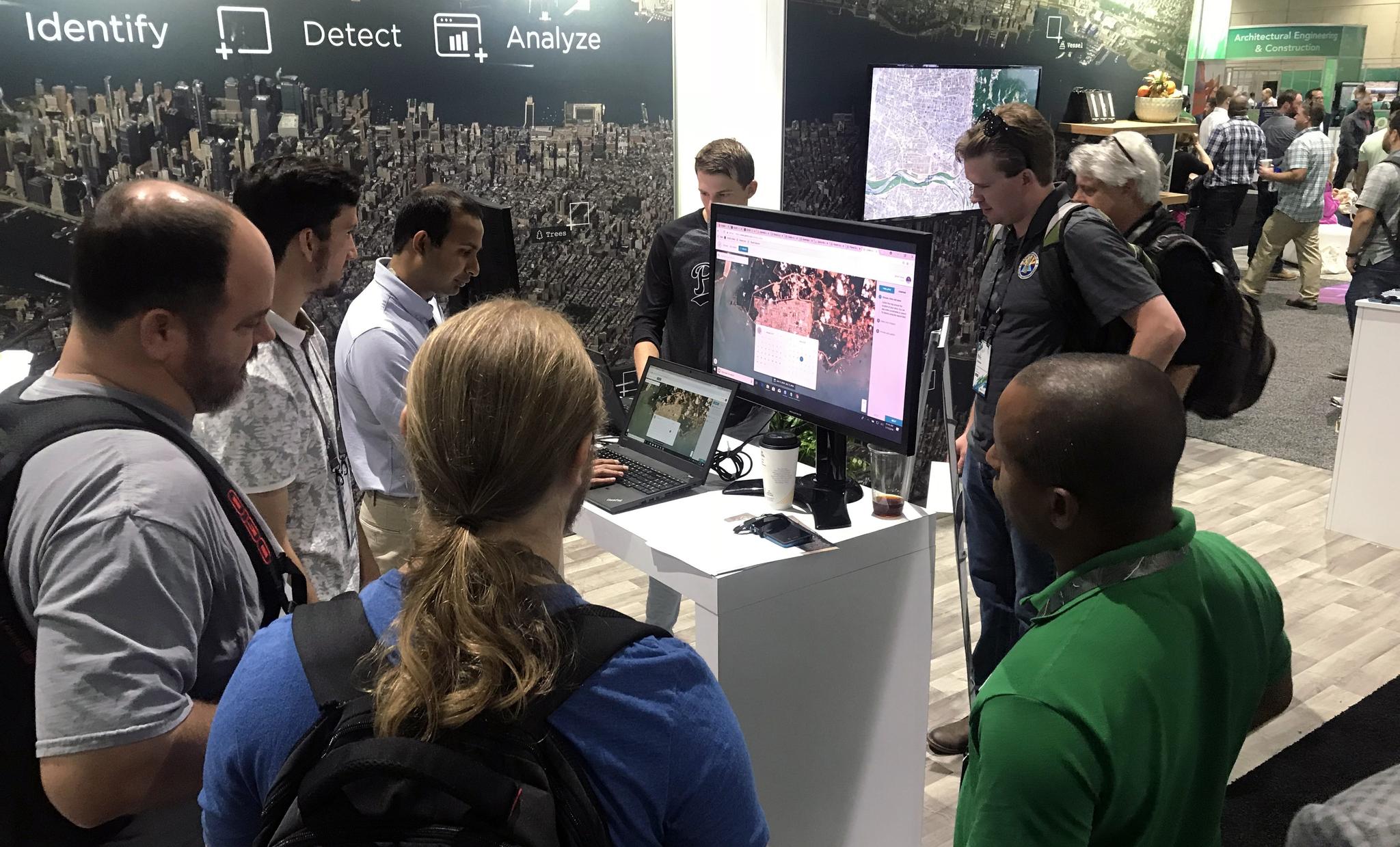
StoriesStoriesFive Things I Learned as an Esri UC NewbieHilary Salazar |July 16, 2018|3 min readRead more
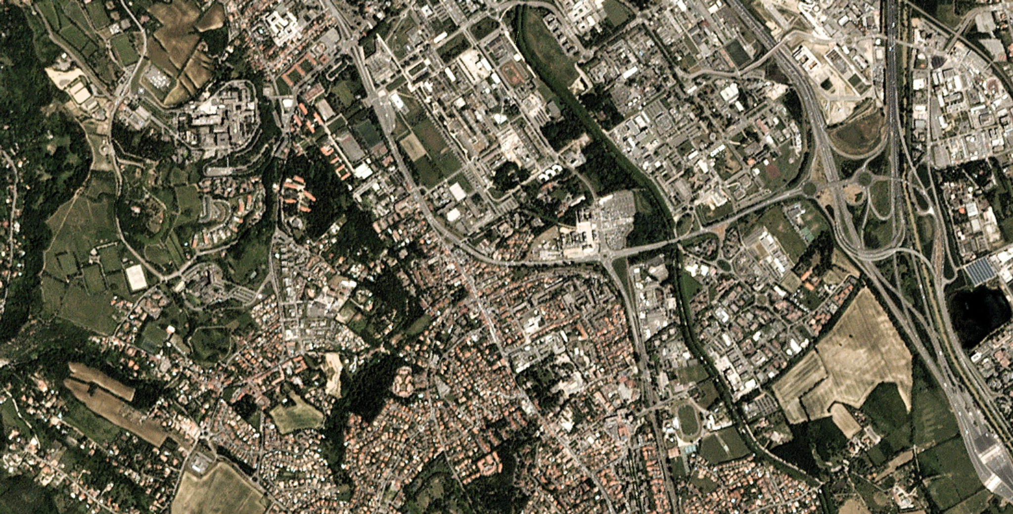
NewsNewsPlanet to Provide High-Resolution Imagery to Copernicus Programme as Part of Airbus-Led ConsortiumMarcus Apel |July 12, 2018|3 min readRead more
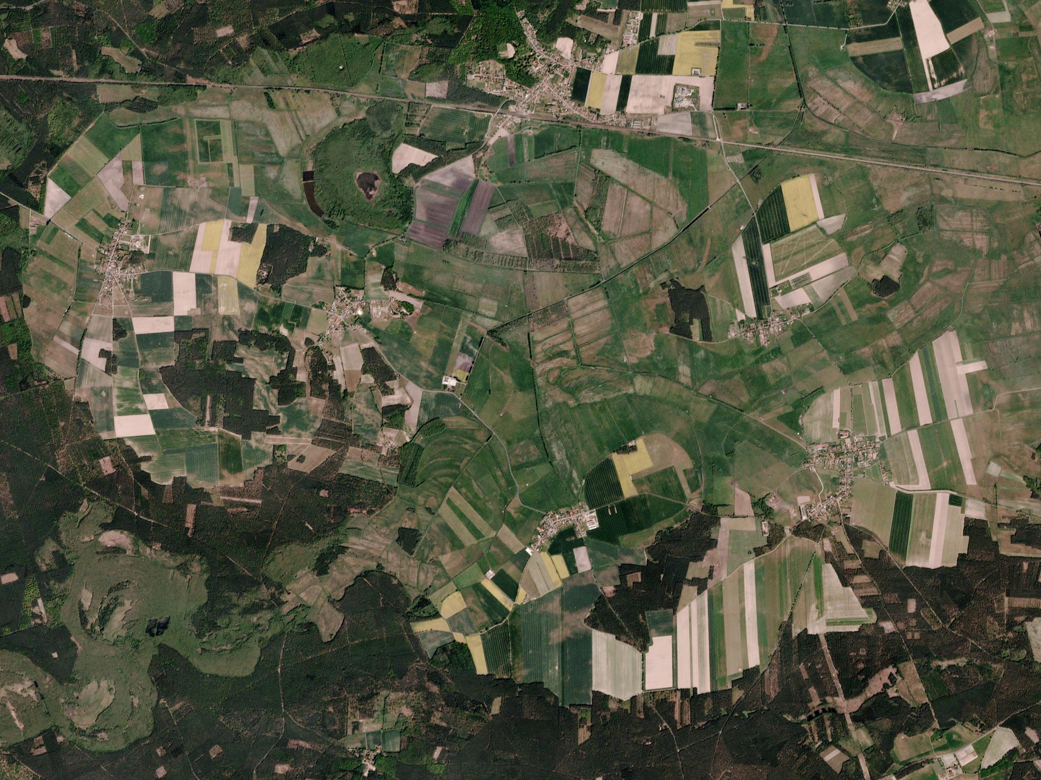
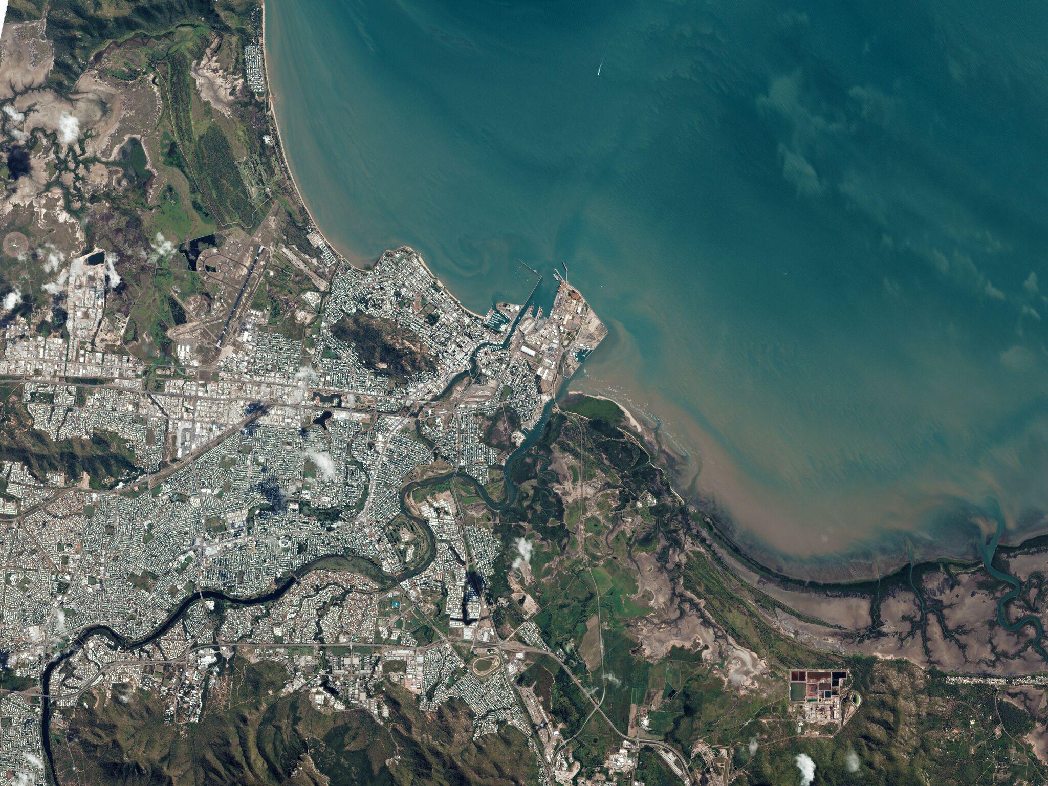
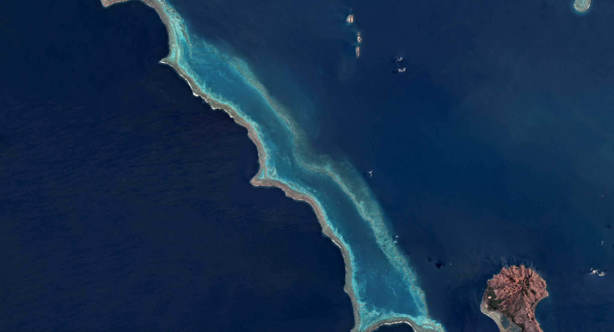
NewsNewsPlanet Provides Open Source Mosaic of QueenslandShankar Sivaprakasam |July 5, 2018|2 min readRead more
NewsNewsPlanet and Airbus Partner to Deliver New Geospatial SolutionsWill Marshall |June 25, 2018|2 min readRead more
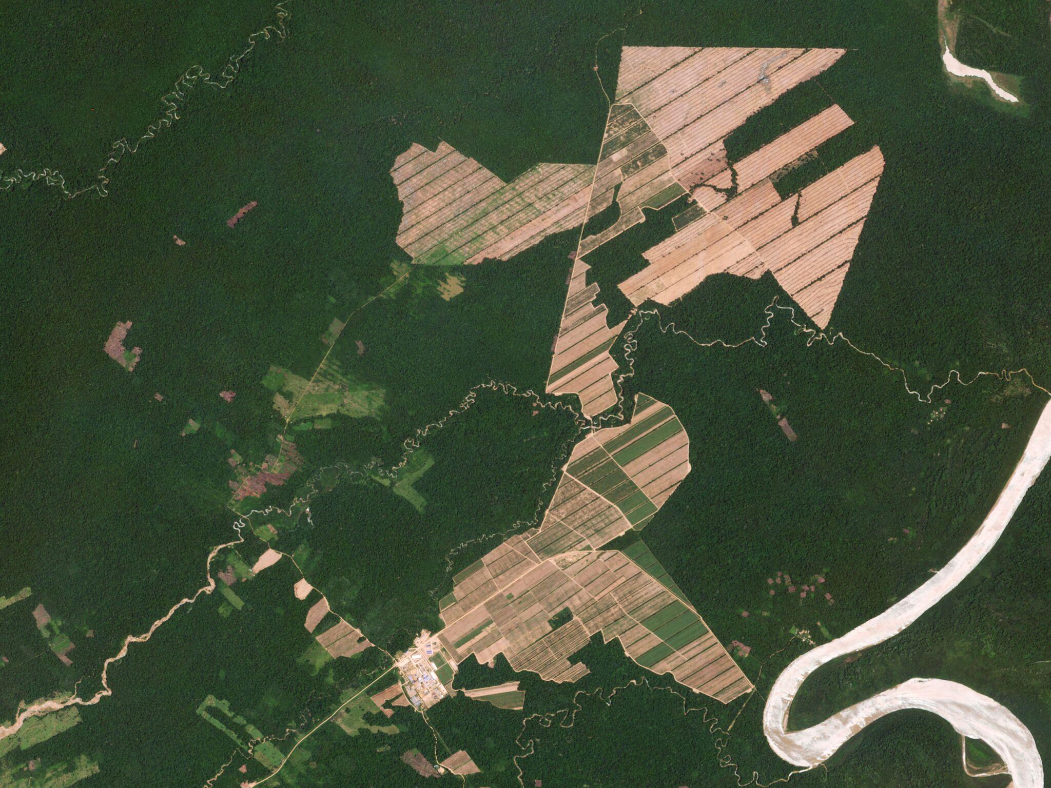
NewsNewsA Protocol for Near Real-time Tropical Deforestation MonitoringTara O'Shea |June 21, 2018|2 min readRead more
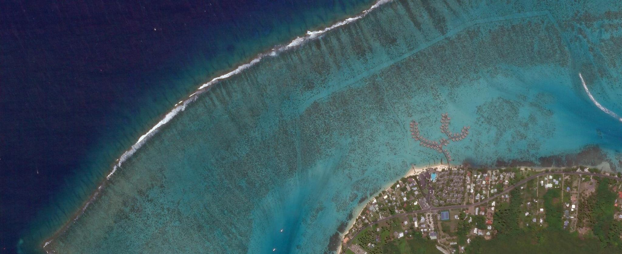
NewsNewsPlanet, Paul G. Allen Philanthropies, & Leading Scientists Team Up to Map & Monitor World’s Corals in Unprecedented DetailAndrew Zolli |June 4, 2018|3 min readRead more
NewsNewsPlanet Celebrates Anniversary of Terra Bella Deal with New OfferingsLouis Rousmaniere |May 15, 2018|3 min readRead more
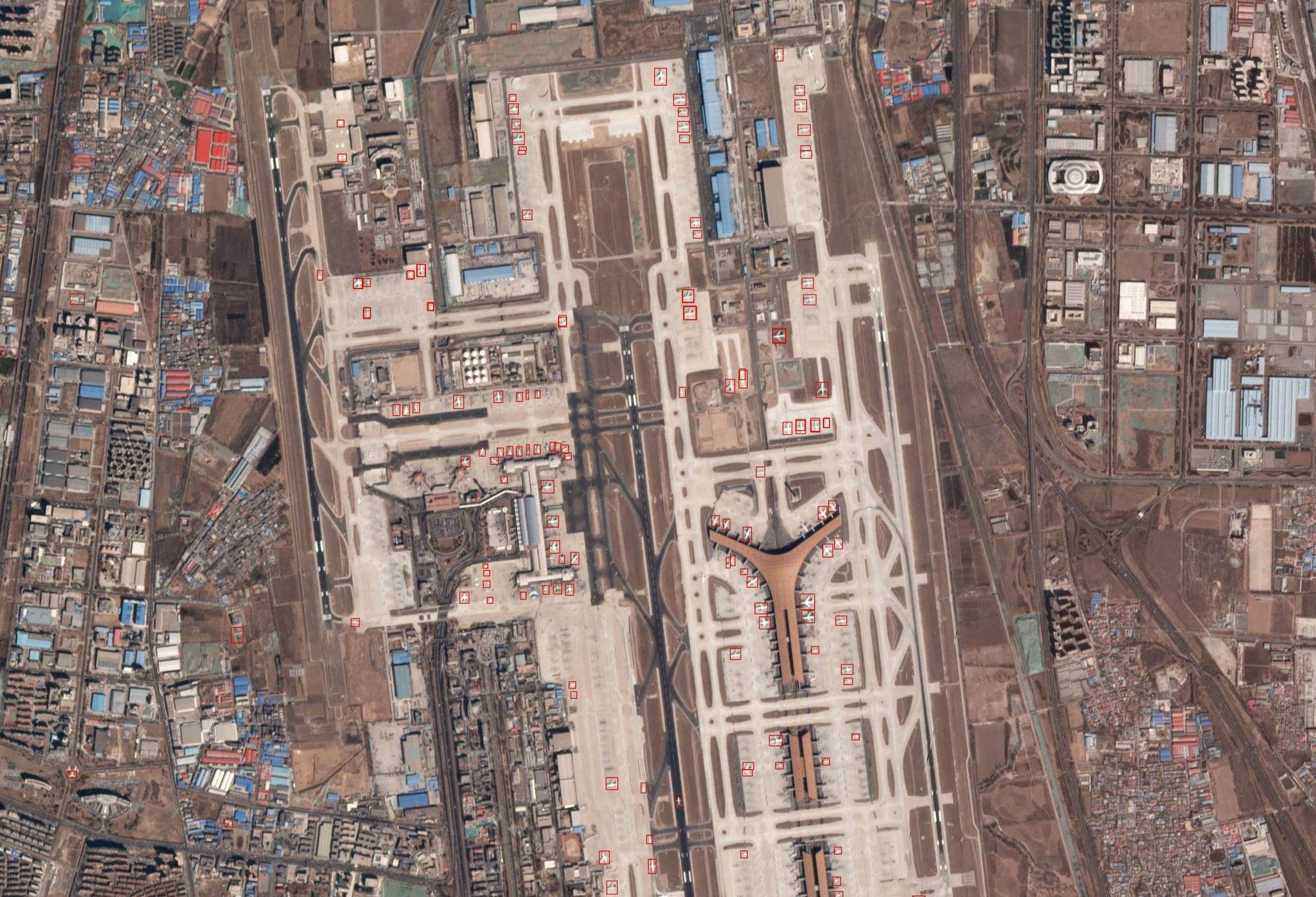
NewsNewsNGA and Planet Sign Five-Year Research Agreement on AnalyticsJen Marcus |May 4, 2018|2 min readRead more
NewsNewsPlanet Grows Sales and Marketing LeadershipRobbie Schingler |April 18, 2018|2 min readRead more
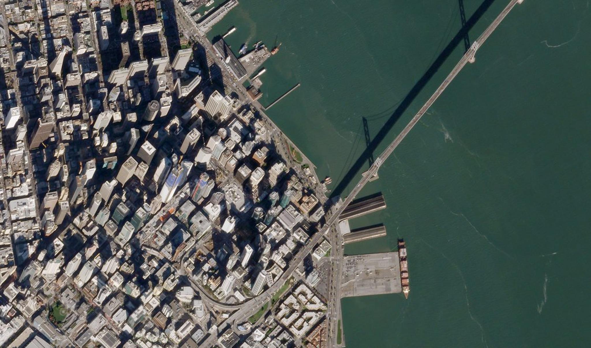
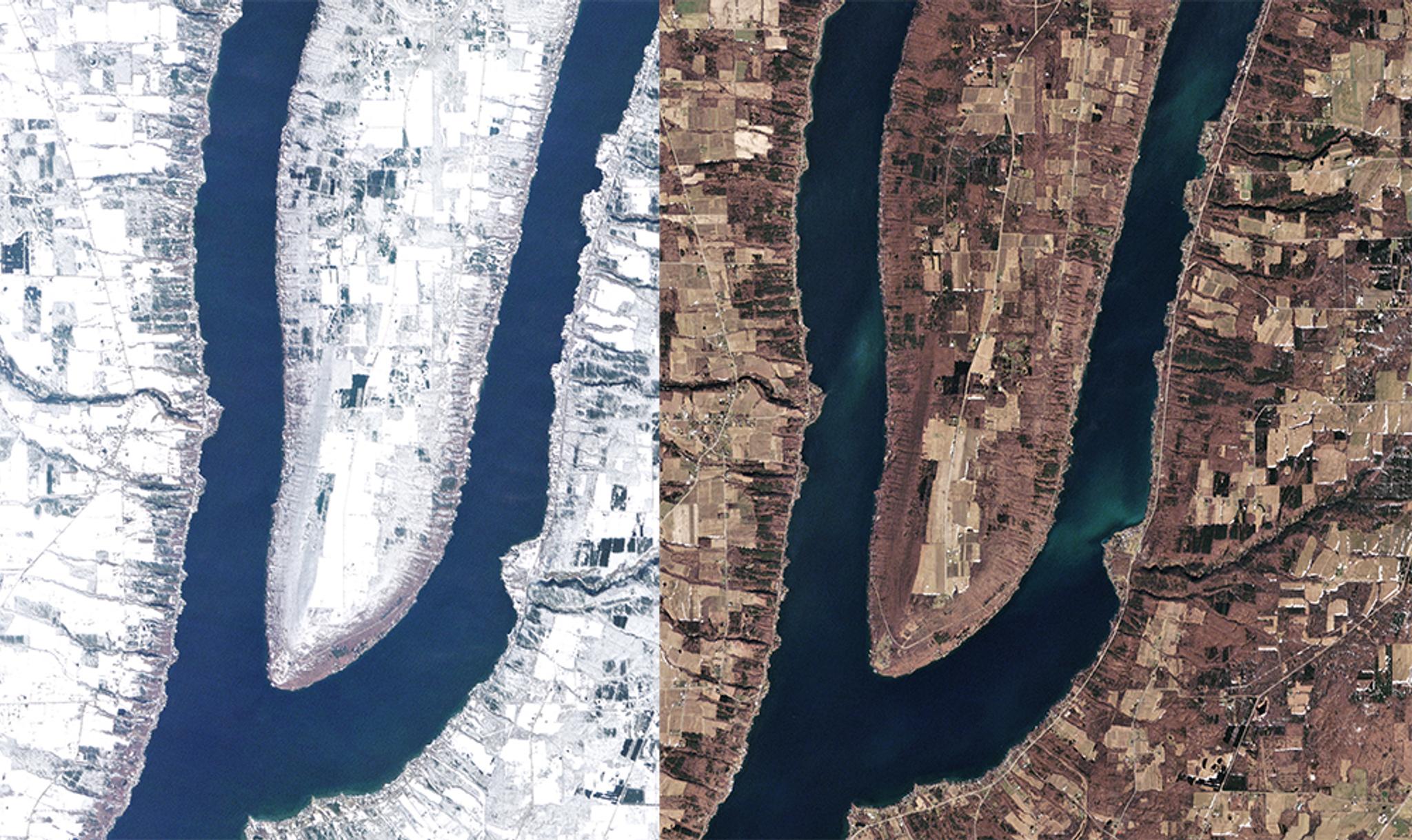
NewsNewsCompare and Timelapse Tools in Planet Explorer Let Anyone Create Stories of ChangeWill Marshall |April 10, 2018|2 min readRead more