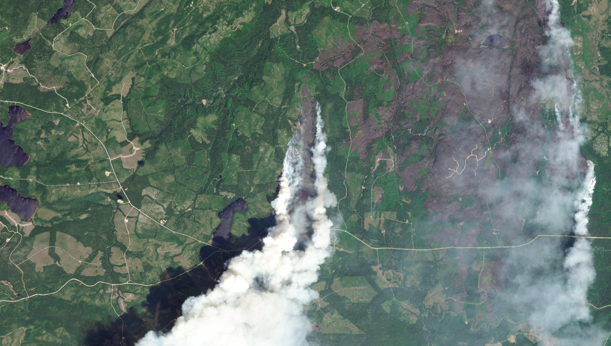
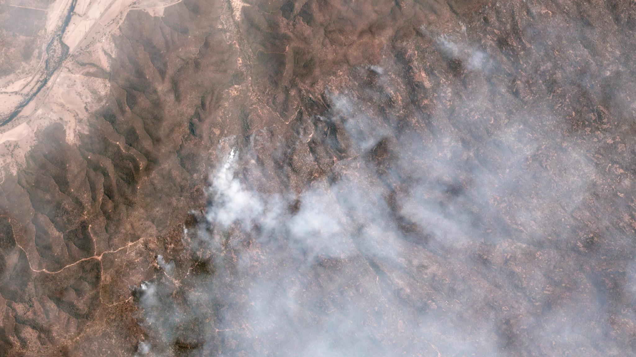
TechTechHow Governments Can Reduce Wildfire Risk Before IgnitionBen Flanagan |May 28, 2026 |6 min readRead more
TechTechHow Can Countries Use Earth Observation for Disaster Risk Reduction (EO4DRR)?Janeth Fule |October 13, 2025 |4 min readRead more
InsightsInsightsTransforming Disaster Response Through Satellite Data and AIJodi Mak |August 11, 2025 |3 min readRead more
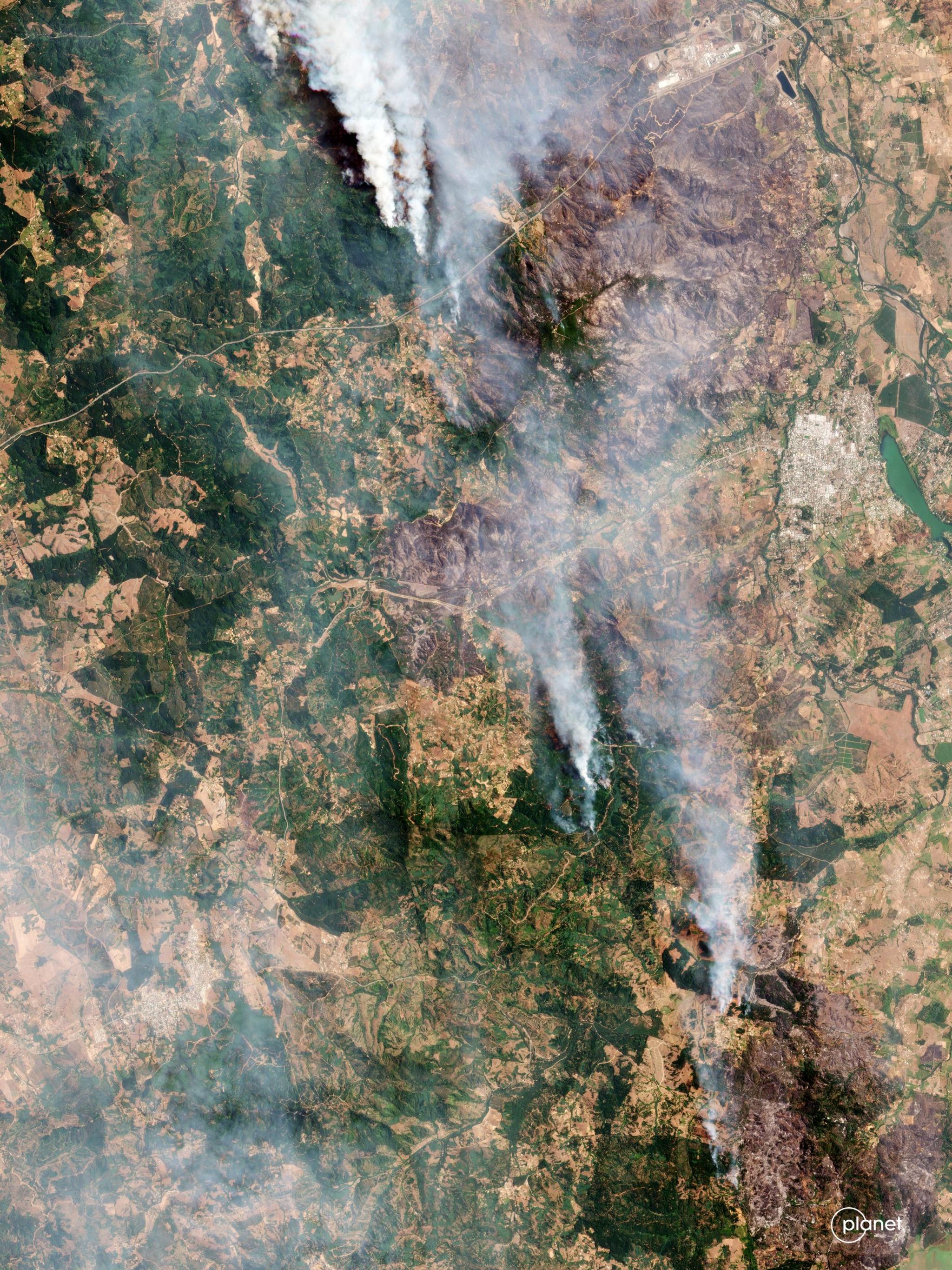
StoriesStoriesFrom Floods to Fires: How Latin America is Tackling Disasters With TechnologyLina Torres |October 17, 2024 |4 min readRead more
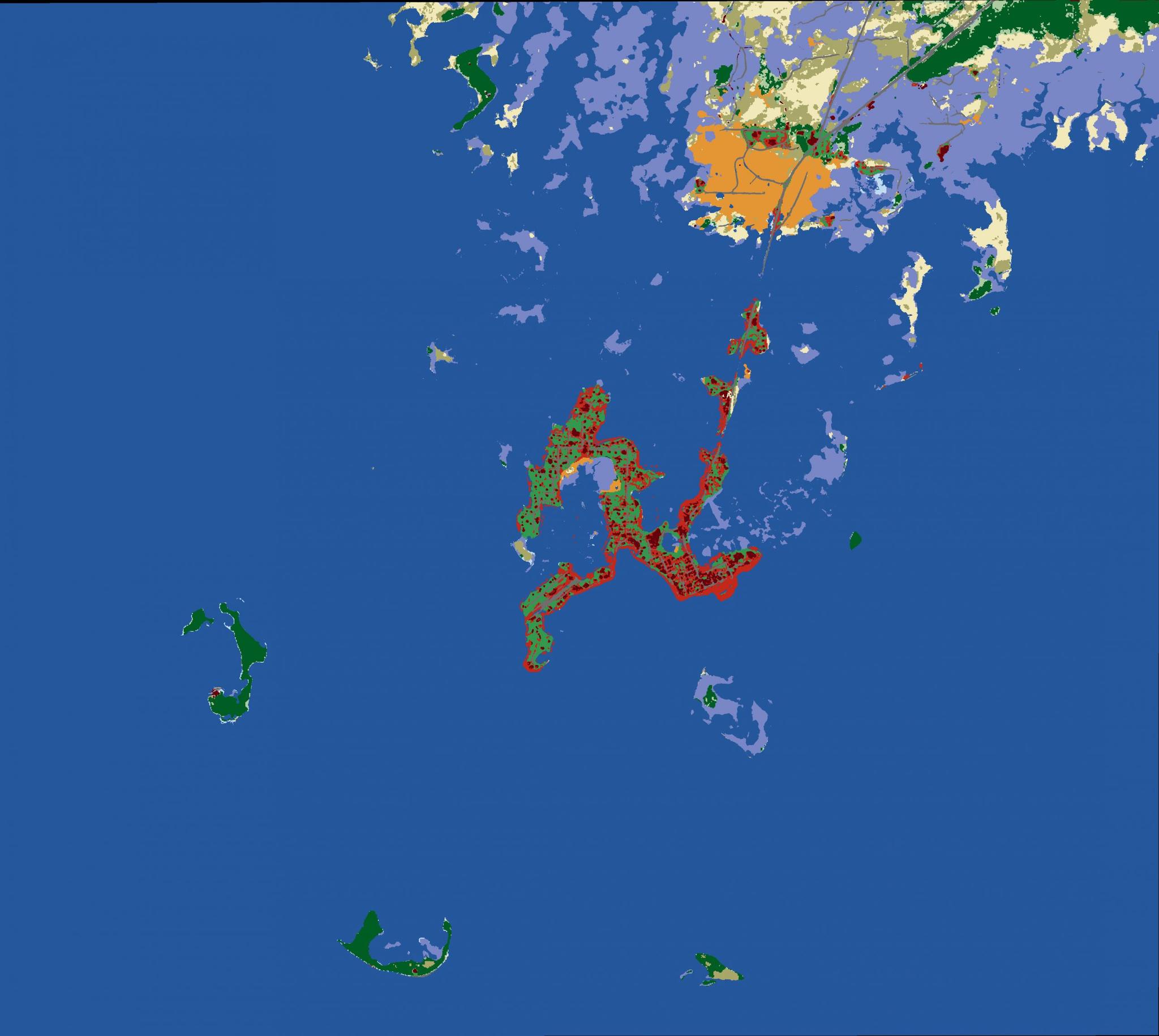
StoriesStoriesImpact Observatory Leverages Planet Data and AI to Deliver Insights to U.S. Local and National GovernmentAriana Sexton |October 10, 2024 |3 min readRead more
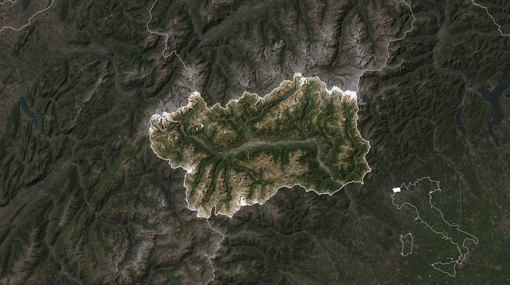
StoriesStoriesDriving Innovative Approaches for Proactive Disaster Management: The Aosta Valley of Northern ItalyShelby Siegel |August 29, 2024 |3 min readRead more
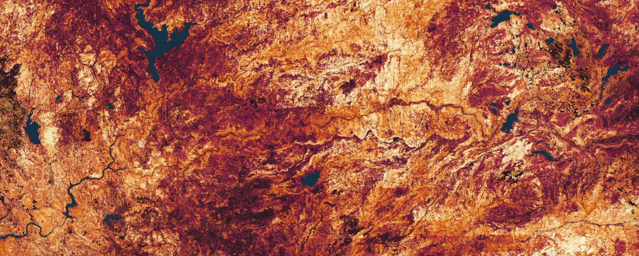
TechTechDriving Digital Transformation in Wildfire Fuels Management With Satellite DataMadeline Dahm |April 3, 2024 |6 min readRead more
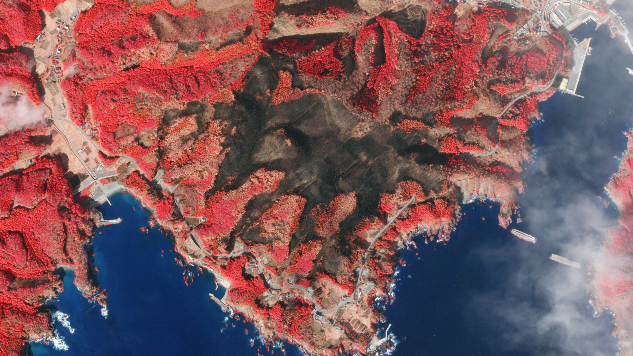
StoriesStoriesPlanet and NGIS Enable Emergency Services Preparation Ahead of Australia’s Fire SeasonPlanet Labs PBC |November 9, 2023 |5 min readRead more
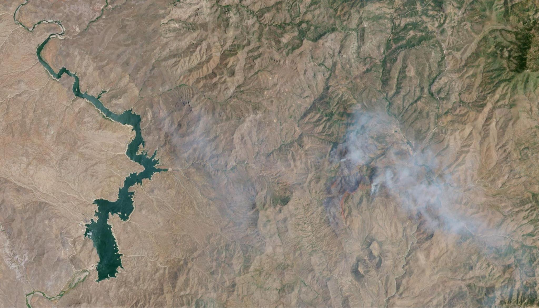
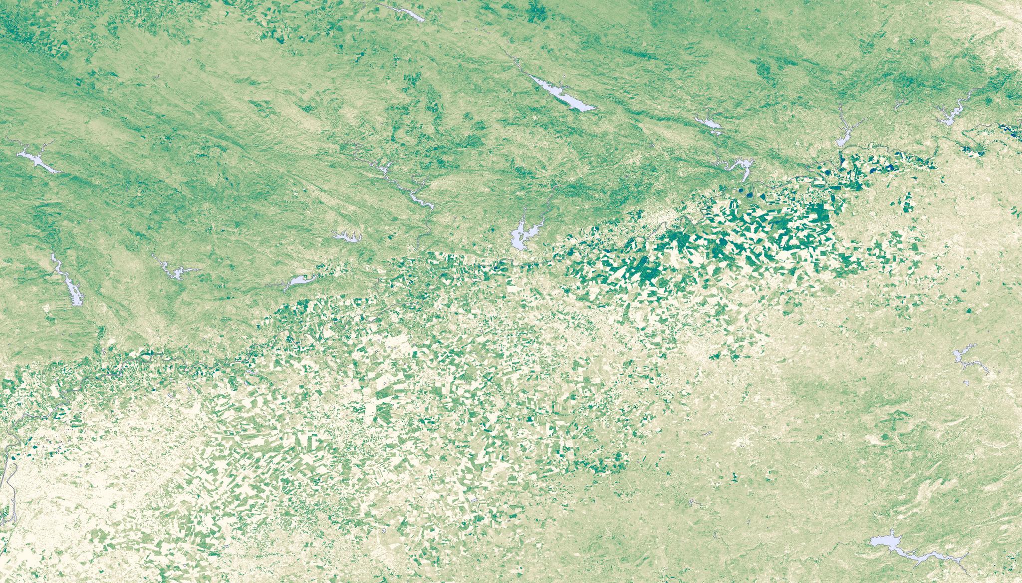
StoriesStoriesFlash Drought Hotspots: Southwestern United StatesRyder Kimball |August 8, 2023 |6 min readRead more
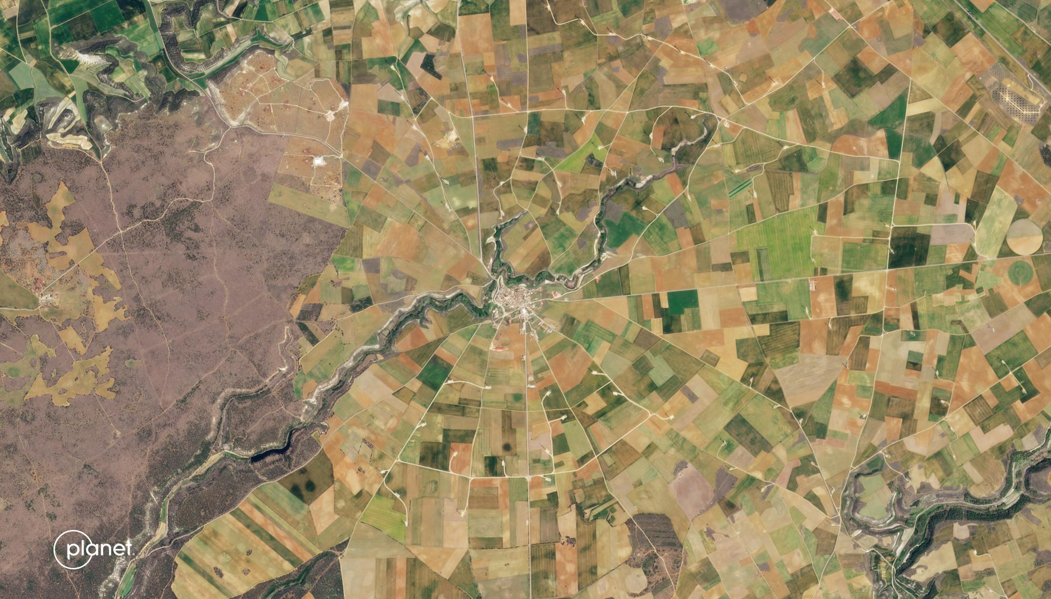
StoriesStoriesFlash Drought Hotspots: Iberian PeninsulaRyder Kimball |July 25, 2023 |4 min readRead more
StoriesStoriesDrying Up in a Flash: What Satellite Data Can Tell Us about Flash Drought Risks and the Regions We Should Be WatchingSteve Levay |July 10, 2023 |8 min readRead more
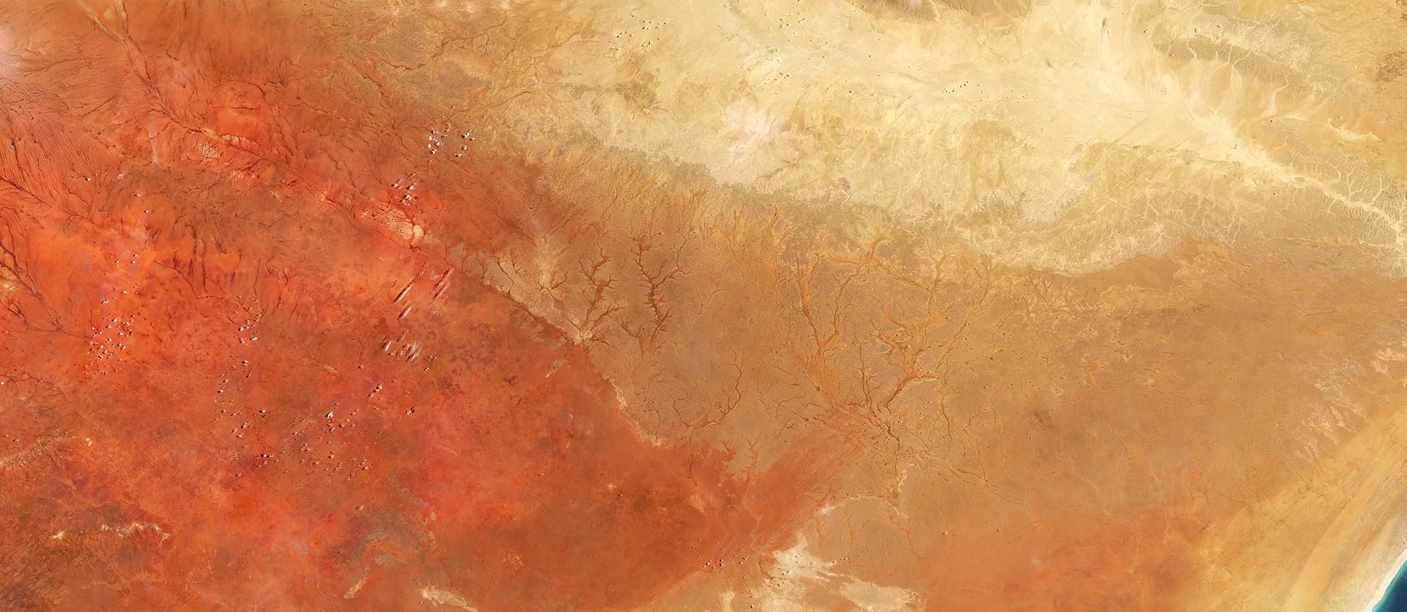
StoriesStoriesUsing Planetary Forensics to Visualize Historic Drought in the Horn of AfricaSteve Levay |April 4, 2023 |5 min readRead more