NewsNewsPlanet Integrates Tools with Pioneering GIS Company EsriDeepthi Shankar |July 8, 2019|2 min readRead more
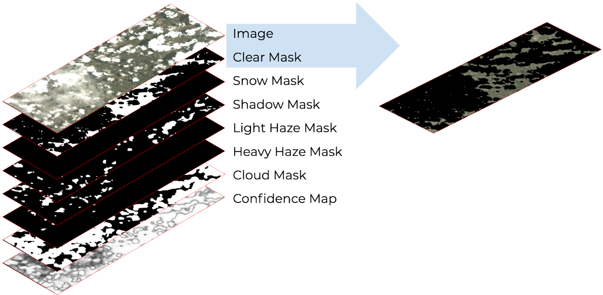
TechTechClear for Analysis with Planet’s New Usable Data MasksJenna Mukuno |April 17, 2019|3 min readRead more
StoriesStoriesMapping the Future: How Zanzibar Is Reimagining Governance With TBI and PlanetPlanet Labs PBC |June 16, 2025|6 min readRead more
NewsNewsPlanet Becomes First Private-Sector Data Provider to Directly Support the International Charter on Space and Major DisastersAndrew Zolli |August 13, 2018|2 min readRead more
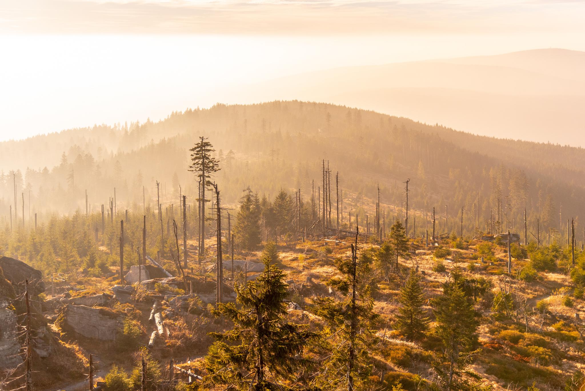
StoriesStoriesBark Beetles Are Decimating Forests: Satellite Data Can HelpSejal Doshi |September 3, 2019|4 min readRead more
StoriesStoriesSpoiler Alert! Satellite Data Offers Commodities Traders Early View of Crop Acreage & YieldErik Zillmann |August 27, 2018|5 min readRead more
TechTechPlanetScope Now on Google Cloud Marketplace: Elevate Your Earth Monitoring ExperiencePlanet Labs PBC |February 9, 2024|3 min readRead more
NewsNewsPlanet Expands Contract with European Union's Copernicus ProgrammeMarcus Apel |September 6, 2018|3 min readRead more
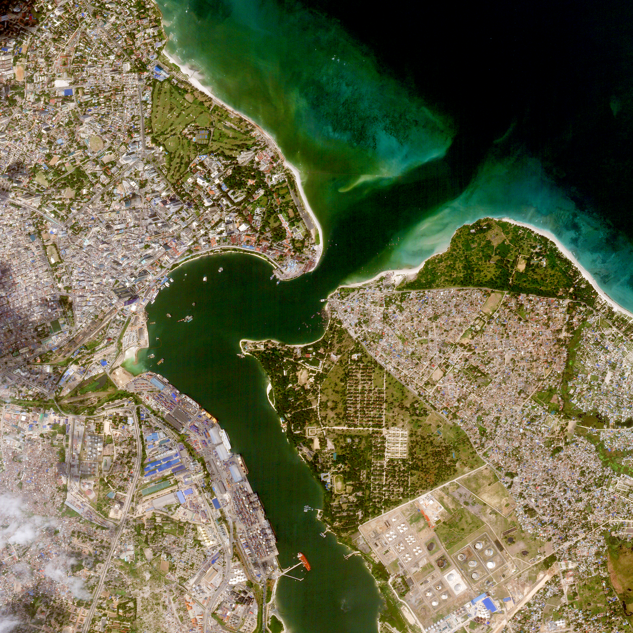
NewsNewsNew Project from World Bank & Planet Uses Satellite Imagery & Machine Learning to Drive Sustainable Urbanization in TanzaniaTara O'Shea |August 22, 2018|4 min readRead more
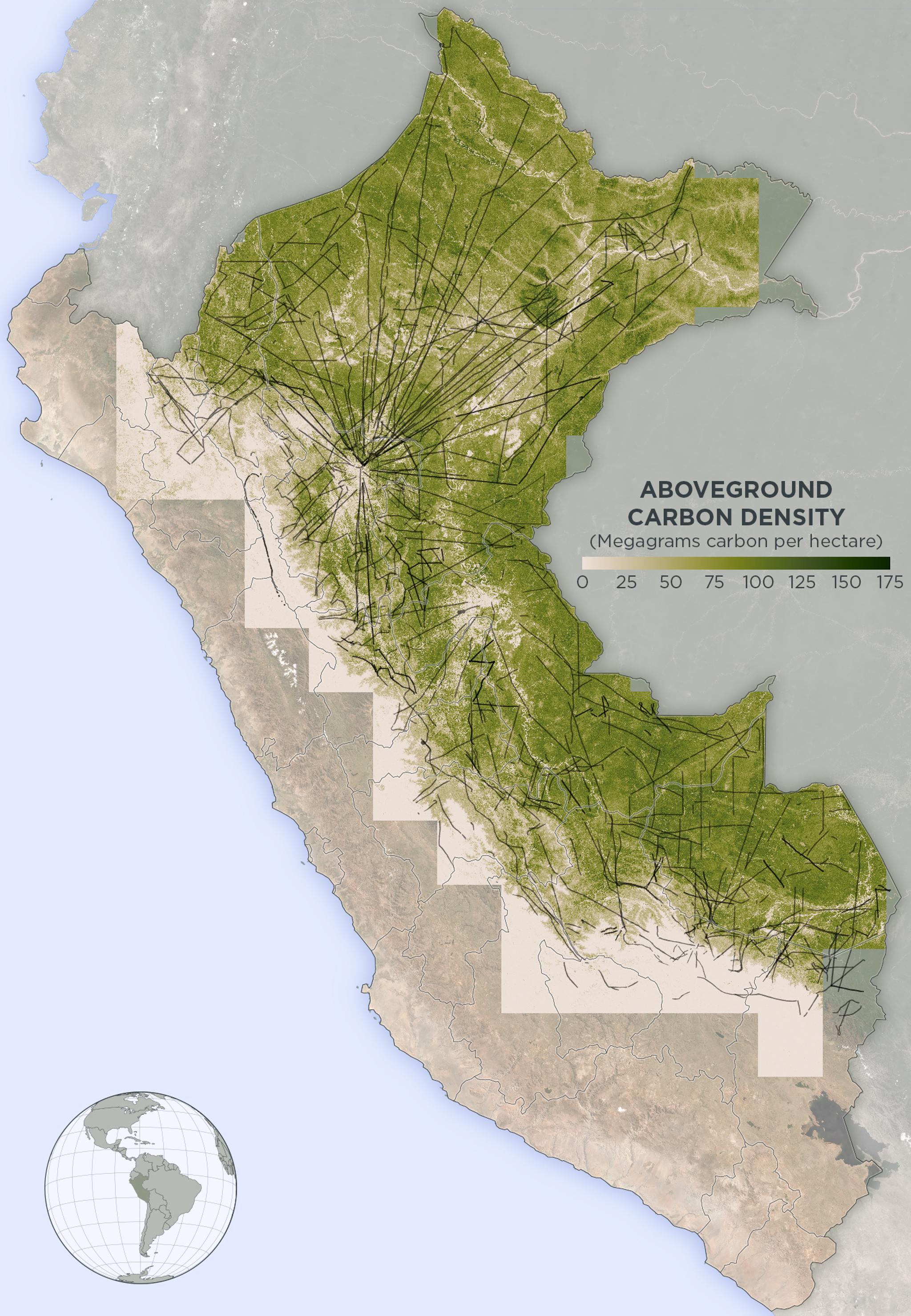
NewsNewsDeveloping the World’s First Indicator of Forest Carbon Stocks & Emissions - Update: IT’S WORKING!Tara O'Shea |March 11, 2019|5 min readRead more
StoriesStoriesComing Back to Earth with Planetary Scientist Tanya of MarsTanya Harrison |June 30, 2020|7 min readRead more
NewsNewsIntroducing Next-Generation PlanetScope ImagerySejal Doshi |August 6, 2019|2 min readRead more