
Moving from awareness to action with the Nonprofit Program
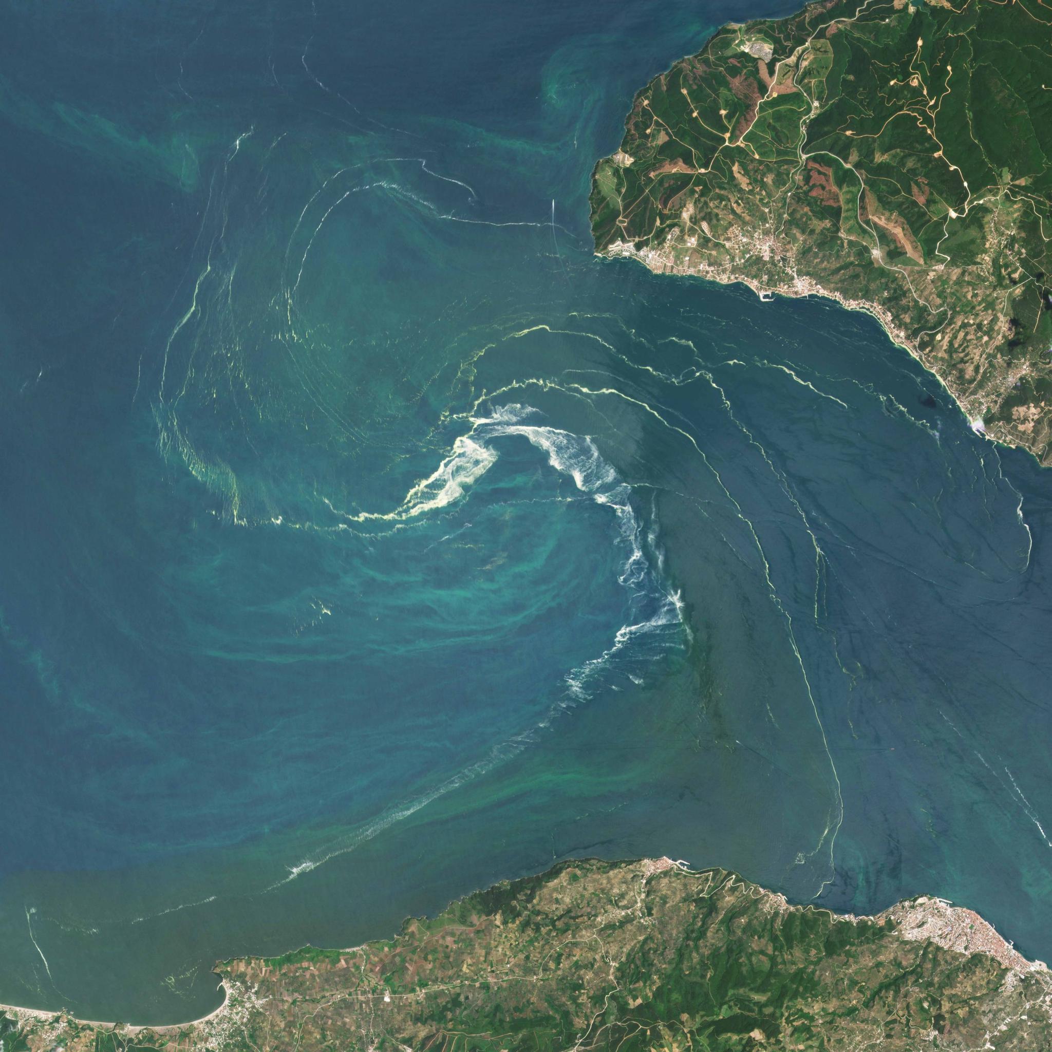
PlanetScope image of Sea of Marmara, Turkey taken June 10, 2021. © 2021, Planet Labs PBC. All Rights Reserved.
NewsHere’s what happens when we put satellite data into the hands of nonprofits
Similar to Planet, nonprofit organizations and NGOs are mission-driven, high impact organizations that aim to promote the common good. However, due to extremely tight budgets supported primarily through donations and funding from philanthropic and government organizations, nonprofits often rely on publicly available data that is typically outdated and insufficient at the scale at which they operate. Planet’s hoping to change some of that dynamic.
While nonprofits and NGOs may be resource constrained, they are no strangers to geospatial data. These organizations have been taking advantage of freely available satellite imagery, such as Landsat and Sentinel, for decades. However, imagery at 30m and 10m respectively often do not provide them with the detailed spatial information required to monitor change at a local level. In many cases, they need daily imagery so they can take action as change happens in real-time on the ground. Clouds also are commonly an issue with publicly available imagery due to their less frequent temporal resolution. If an organization is able to purchase high-resolution imagery, they likely don’t have the geospatial staff or data infrastructure to support large-scale geospatial analysis.
For the limited number of nonprofits that are able to overcome all these hurdles and succeed in demonstrating the value of high-resolution imagery in their work, commercial pricing often limits them from taking their projects to scale. Their strapped budgets allow them to afford commercial pricing one time, but it can be challenging to find consistent funding to support the high costs of data when you have staff and other operational expenses to support.
As a result, nonprofits often think about satellite imagery at the project level or pilot phase - not at the organizational level - and their geospatial work can be decentralized across field offices and organization programs.
Here’s how some of that can change.
Planet’s Nonprofit Program aims to reduce these barriers that nonprofits face by providing a customized offering of its imagery and services. Through tiered product bundling inclusive of steeply discounted pricing on PlanetScope, SkySat, and Planet’s cloud-free basemaps, we hope to enable nonprofits to discover the value of high-temporal, high-resolution imagery in order to help advance their mission.
While many nonprofits are familiar with geospatial data and satellite imagery, there are many more that are not accustomed to extracting insights from so many pixels, so the Nonprofit Program will be able to support these organizations by providing assistance from Planet’s Professional Services team.
It will take time for nonprofits to establish a cultural and business shift to adoption of high-resolution imagery, to go from decentralized to a more operational and centralized use of imagery. We want to help these organizations on their journey to unlock the power of Planet imagery in their mission-critical work. This is why nonprofits can start out small and purchase the bundle size that meets their organization’s geospatial needs to advocate and ensure adoption of Planet imagery across programs before moving up to a larger size bundle.
At Planet, we strive to bring high spatio-temporal information to the right coalitions who can drive solutions and systems change. Programs such as Planet’s Education and Research Program support scientists at universities who validate use cases across various academic fields, and the NICFI program enables organizations to combat deforestation.
We understand that nonprofit/NGO scientists are incubating new use cases as well, and Planet has worked closely with nonprofit organizations in the past on impactful initiatives, such as detecting illegal mining in the Amazon, preserving cultural heritage in active conflict areas, mapping renewable energy, and measuring global carbon emissions.
But to efficiently scale and move faster than the problems we have to solve in order to ensure a safe, healthy planet for future generations, we need to increase the rate of our ability to get Planet’s products into the world’s hands. We believe Planet’s Nonprofit Program will help us get closer to that goal.
Are you a nonprofit/NGO who is ready to unlock the power of Planet data? Contact us at go.planet.com/nonprofit!
Ready to Get Started
Connect with a member of our Sales team. We'll help you find the right products and pricing for your needs.