Search

Content Library
Discover how to gain actionable insights with Planet data.
Select Resource Type...
Select Industry...
Select Language...
E-bookCivil Government
Building Forest Resilience with Planet

E-bookAgriculture
Improving Agricultural Compliance with Planet
E-bookCivil Government
Transforming Water Resource Management with Planet
E-bookInsurance
Planet Solutions for Disaster Management in Insurance
E-bookCivil Government
Driving Program and Policy Effectiveness With Planet: Civil Government
Datasheet
How Daily Earth Data Is Reshaping Public Sector Decision-Making
DatasheetCivil Government
CAP Solutions for National Paying Agencies
Datasheet
Pelican Constellation
E-bookState and Local Government
Driving Program and Policy Effectiveness With Planet: State and Local

White PaperDefense and Intelligence
How Broad Area Management Informs National security
DatasheetCivil Government
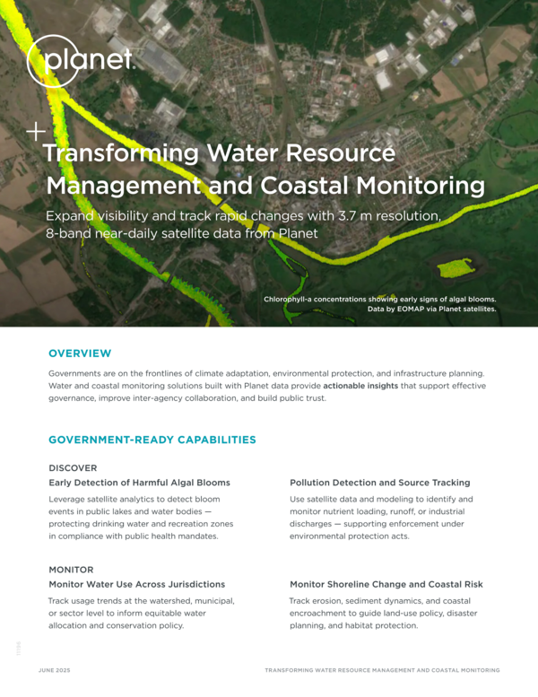
Transforming Water Resource Management and Coastal Monitoring
E-bookCivil Government
Earth Observation as a Cornerstone of Europe’s Digital Agenda
E-bookDefense and Intelligence
Global Vigilance: The Critical Need for Broad Area Satellite Monitoring
E-bookDefense and Intelligence
Combating Illicit Activity in the Maritime Domain With Planet Data
E-book
Planet Satellite Imagery for GIS Professionals
E-bookCivil Government
Planet Solutions for Disaster Management
White Paper
Accelerating Biodiversity and Ecosystem Reporting
E-book
Multidimensional Coastal Monitoring
DatasheetCivil Government
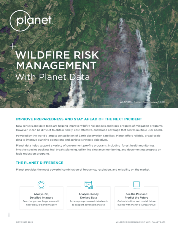
Wildfire Risk Management With Planet Data
White PaperAgriculture
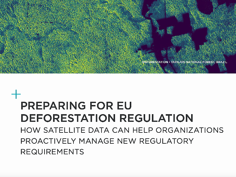
Preparing for EU Deforestation Regulation
WebsiteAgriculture
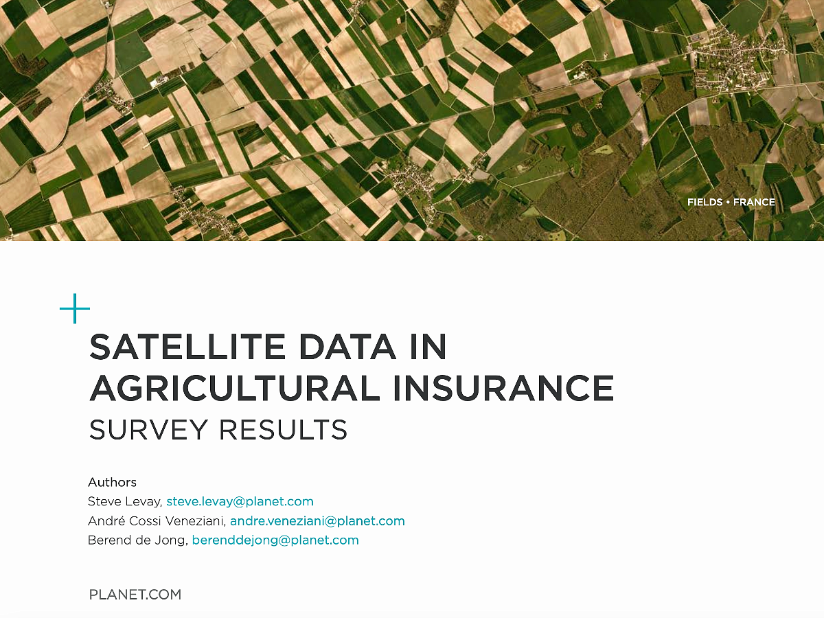
Satellite Data in Agricultural Insurance: Survey Results
White PaperDefense and Intelligence
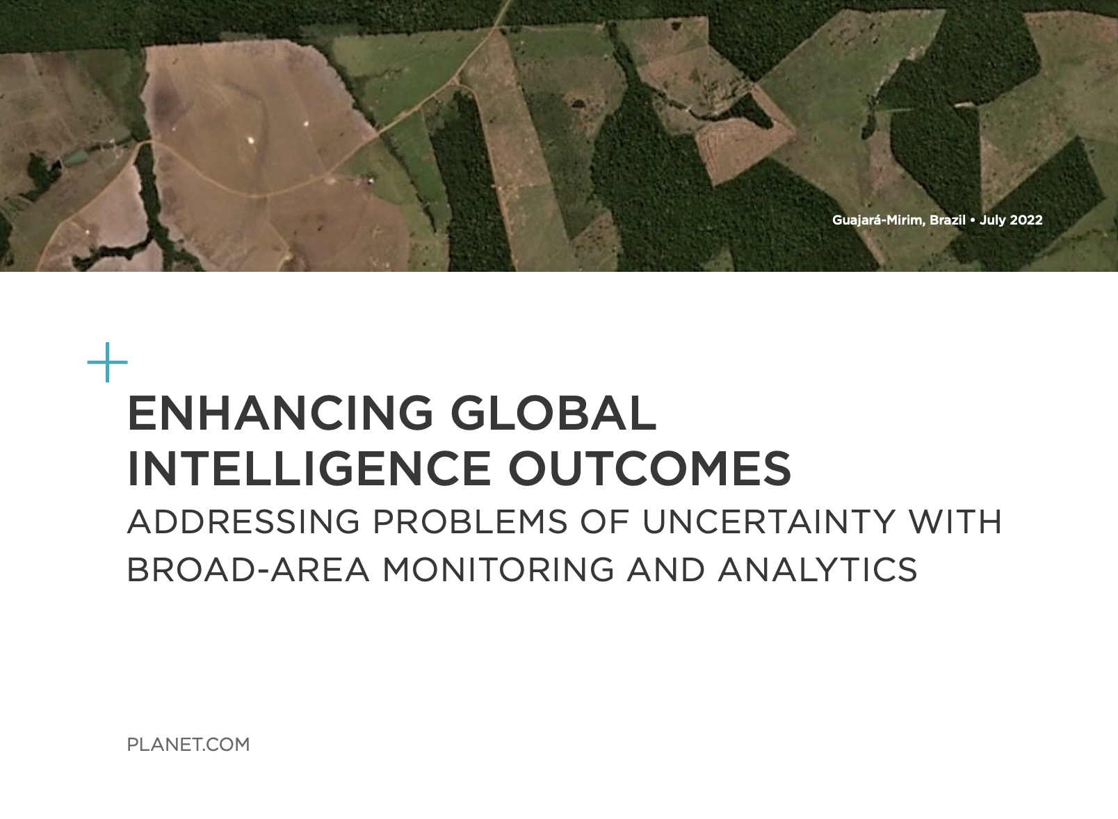
Enhancing Global Intelligence Outcomes
Datasheet
Planet Monitoring and Archive
E-book
Planet Satellite Imagery for ArcGIS
DatasheetCivil Government
Planet Analytics and Monitoring: USDA DamWatch Initiative
DatasheetCivil Government
The Power of Near-Daily Earth Data - New Tools Driving Government Efficiency
Datasheet
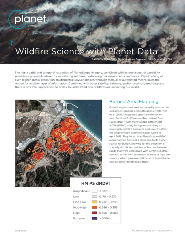
Wildfire Science with Planet Data
DatasheetCivil Government
Planet Monitoring Overview
DatasheetDefense and Intelligence
Planet Tasking Overview
Datasheet
Planet Basemaps
DatasheetAgriculture
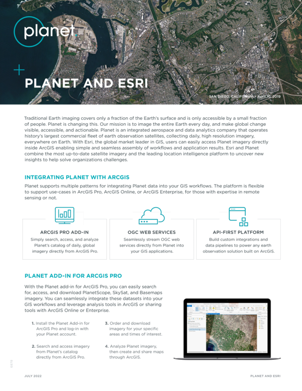
Planet and Esri
E-bookCivil Government
Satellite Imagery for Emergency Preparedness
DatasheetAgriculture
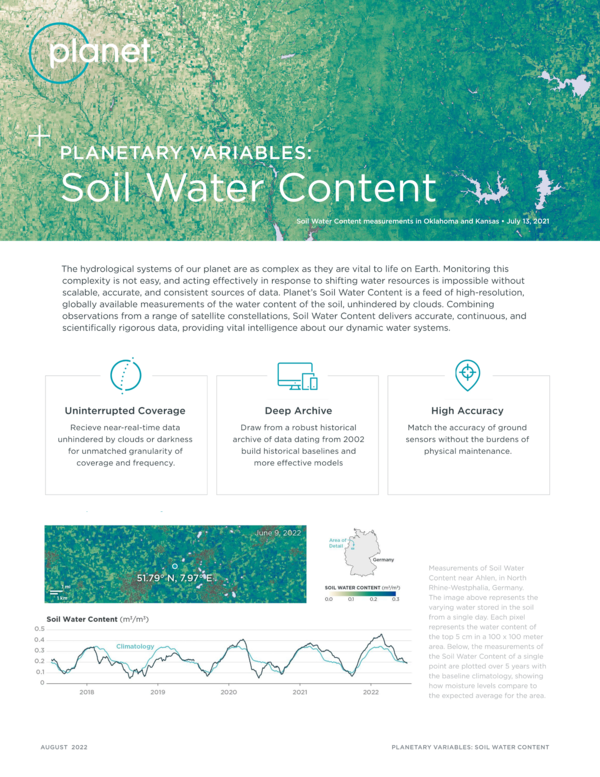
Planetary Variables: Soil Water Content
Datasheet
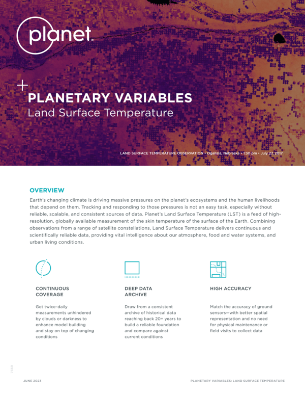
Planetary Variables: Land Surface Temperature
E-bookCivil Government
Improve Data-Driven Decision Making With Satellite Data
E-bookAgriculture
Analysis-Ready, Reliable Satellite Data for Clearer Insights
E-bookCivil Government
Satellite Imagery for Permit Compliance and Enforcement
E-bookCivil Government
Satellite Imagery for Vegetation Management
White PaperDefense and Intelligence
Deterrence by Observation: How Planet Satellites Help Increase Transparency During Conflict
DatasheetCivil Government
Earth Observation Data for Germany
E-bookAgriculture
Digital Agriculture in Asia-Pacific and Japan: Harnessing the Power of Satellite Data and Analytics
E-bookAgriculture
Resolution Matters for Variable Rate Prescription Accuracy
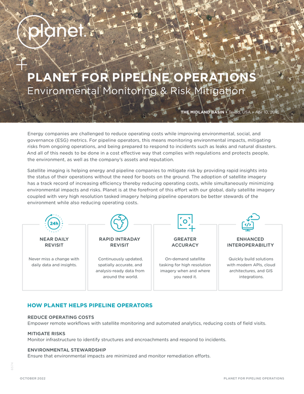
DatasheetEnergy
Planet for Pipeline Operations
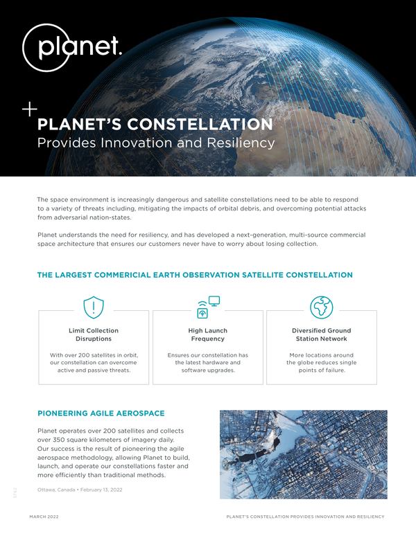
DatasheetDefense and Intelligence
Planet Constellation Resiliency
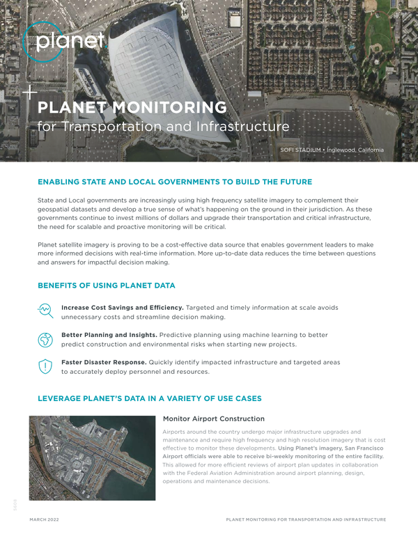
DatasheetCivil Government
Planet Monitoring for Transportation And Infrastructure
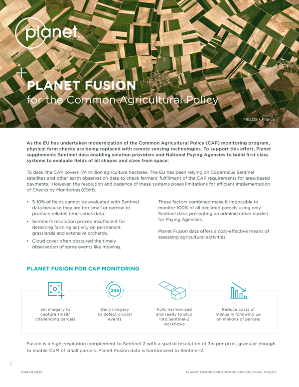
DatasheetCivil Government
Planet Fusion for the Common Agricultural Policy
DatasheetCivil Government
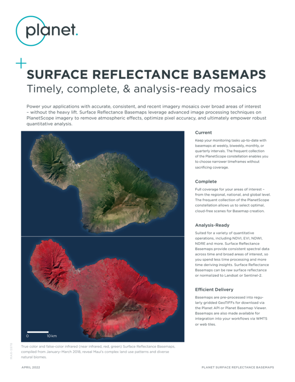
Surface Reflectance Basemaps: Timely, Complete, & Analysis-Ready Mosaics
DatasheetCivil Government
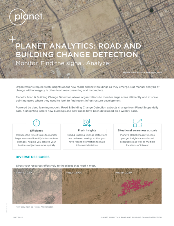
Planet Analytics: Road and Building Change Detection
DatasheetDefense and Intelligence
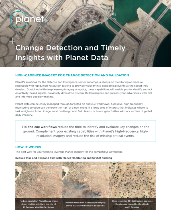
Change Detection and Timely Insights With Planet Data
DatasheetCivil Government
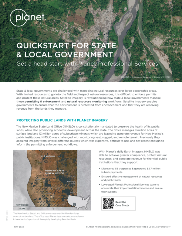
Quickstart for State & Local Government
Case StudyEnergy
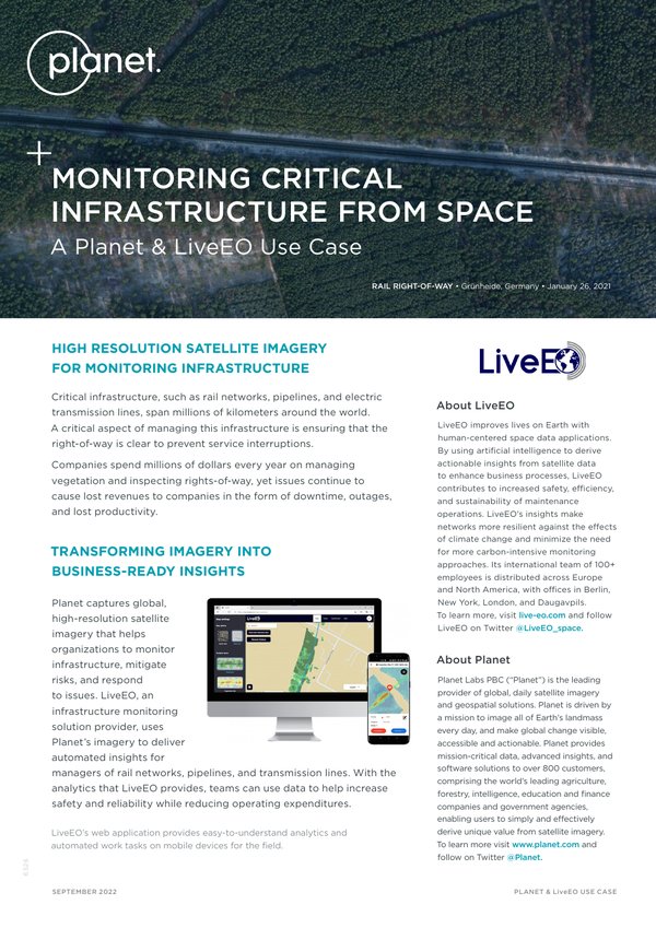
Monitoring Critical Infrastructure From Space
DatasheetCivil Government
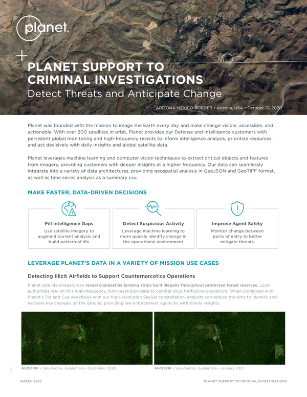
Planet Support To Criminal Investigations
DatasheetDefense and Intelligence
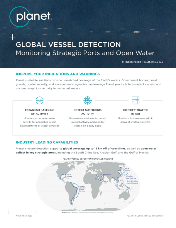
Planet Analytics for Vessel Detection
DatasheetAgriculture
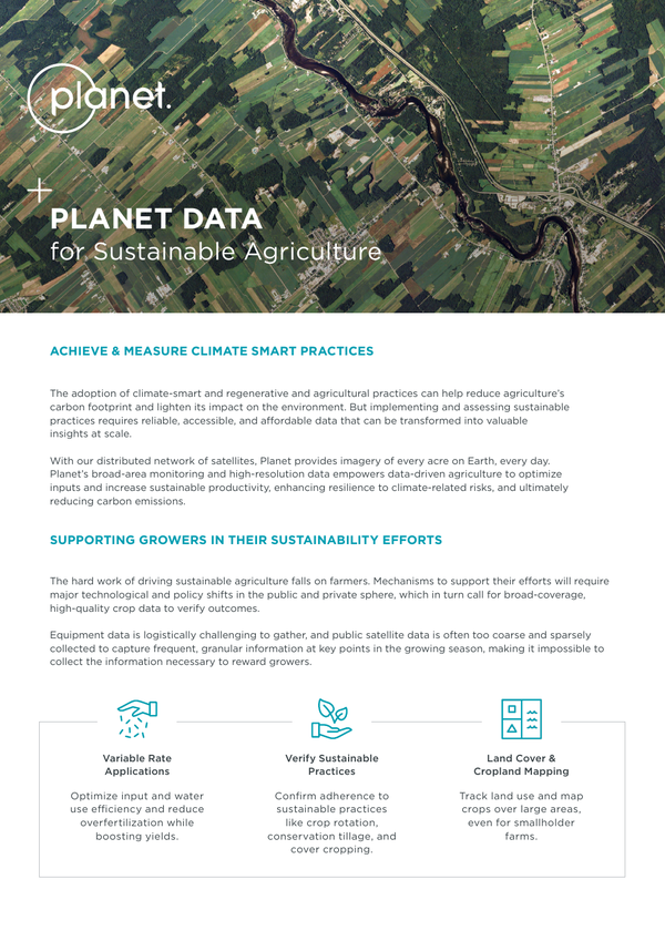
Planet Data for Sustainable Agriculture
Datasheet
Planet at a Glance - See Change. Change The World.
DatasheetCivil Government
Planet Monitoring for Disaster Response
E-bookAgriculture
From Imagery to Data
E-bookCommercial Forestry
Managing Forests Proactively With Satellite Imagery
DatasheetAgriculture
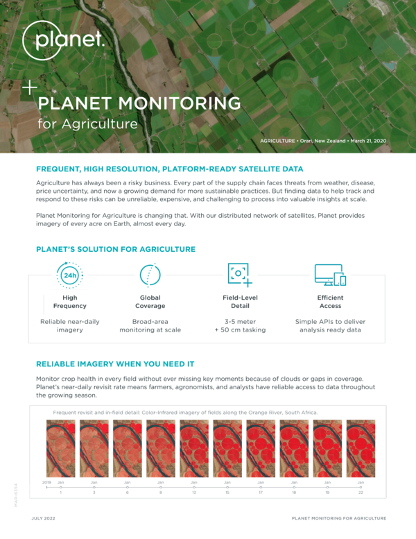
Planet Monitoring for Agriculture
© 2026 Planet Labs PBC. All rights reserved.
| Privacy Policy | California Privacy Notice |California Do Not Sell
Your Privacy Choices | Cookie Notice | Terms of Use | Sitemap
