Search
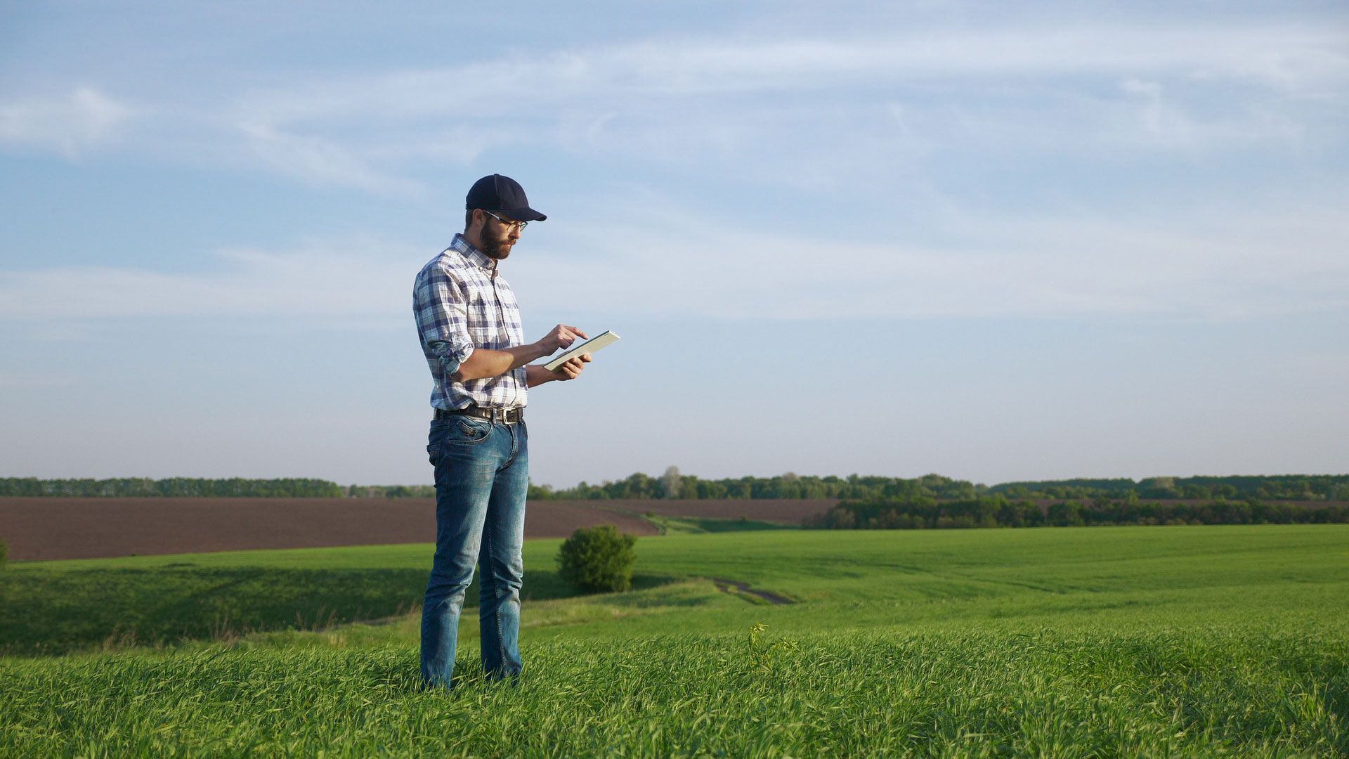
Prepare for the growing season
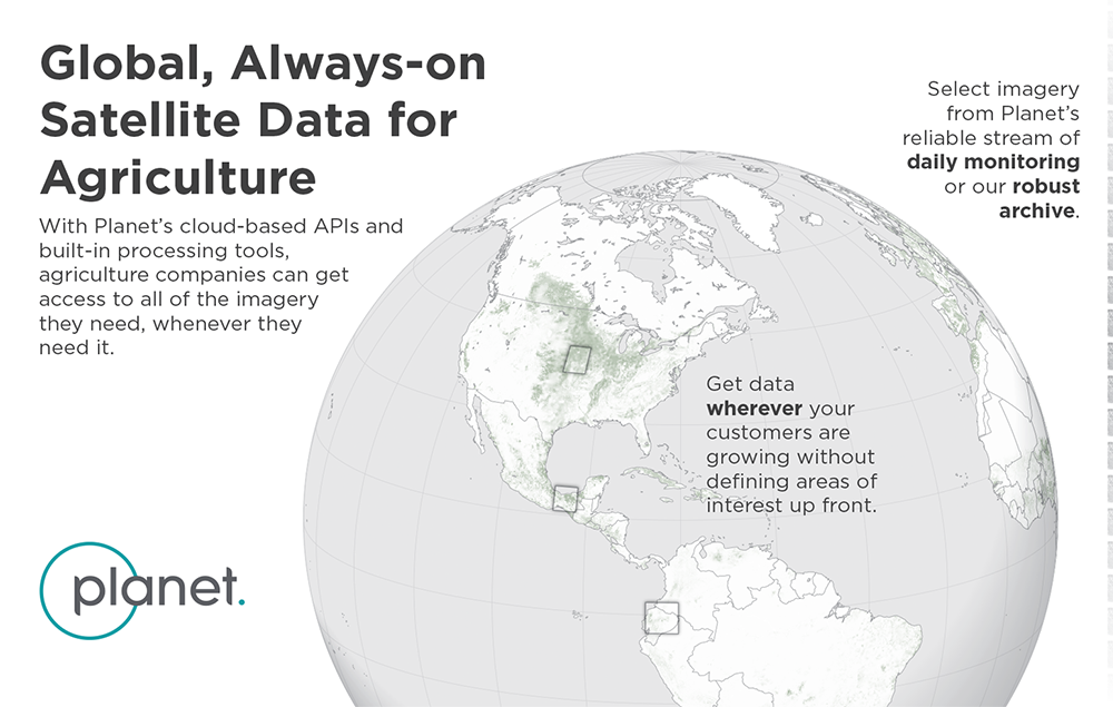
High frequency, analysis-ready, rapidly accessible satellite imagery
Cultivate stronger relationships with your growers this season
After another tumultuous year of fluctuating commodity prices, high input costs, sustainability pressures, and brand loyalty challenges, data driven precision agriculture has never been more important.
Improve your data pipeline and processes to drive pre-season and in-season recommendations for your growers.
With a range of services and expertise in the agricultural sector, Planet provides the imagery you, your customers, and agronomists need to make timely, informed decisions throughout the entire season.

Build Trust
with reliable, consistent data that drives quality analytics and insights

Automate Processes
using Planet’s APIs and data tools like clipping and band math

Drive Adoption
of both office and field workers with automated alerts and reporting

Enhance Core Offerings
with always on monitoring, field level detail, and historical data

Improve Speed to Market
with data that enables precision digital agriculture at scale

Customers [told us] they want more frequent data… This was one of the reasons why we connected with Planet – to increase the frequency of the data that we provide to users... I do believe in satellites rather than the logistic constraints of drones and manned airplanes. So satellites are the way we want to use data going forward.

Hovav Lapidot
CEO, Manna Irrigation
We’ve seen a lot of success in targeted scouting as Planet’s high cadence imagery can really help drive smarter decision making. Additionally, it gives us a deeper understanding of how a product is performing.

Matt Rohlik
Managing Director of Farms and Strategic Partnerships, Arva
We believe that integrating Planet data into our CropWatch services allows us to see and quantify field-based issues before we could with traditional scouting methods. The example [involving the loss of crop yield by] hop mite damage validates the value of access and interpretation of daily imagery data.

Jeff Freeman
Director of Sales and Marketing, Marion Ag
Sign Up for Email Updates
Satellite data that advances digital agriculture
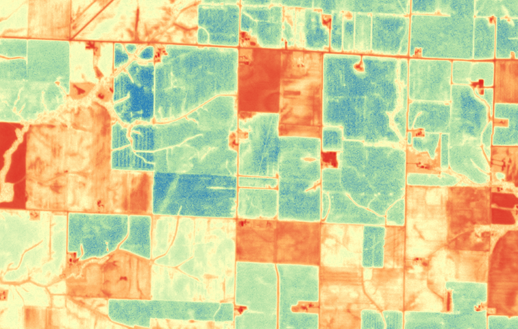
AUM and High Temporal Cadence
Planet Monitoring provides high frequency, global satellite imagery at field-level resolution throughout the growing season. This equates to more frequent actionable insights anywhere on earth and increased usable observations, even in cloudy areas.
We built our Acres Under Management pricing model to drive greater flexibility for you to expand your business. Only pay for your fields instead of large swaths of imagery and add additional fields throughout the year without having to designate them up front. Our APIs make it easy for you to download the imagery you need, and only what you need, clipped to the field boundaries of your customers.
Learn More about Planet Monitoring and Areas Under Management
Red Edge Band and Planetary Variables
Released March 2022, Planet’s Red Edge Band has been shown to be sensitive to subtle changes in vegetation stress, allowing for a different approach when NDVI saturates. Red edge can improve the accuracy of measurements of healthy crops in densely planted fields or other conditions with multiple overlapping leaves.
Learn More about PlanetScope Red Edge Band
We’re excited to announce a new product line coming early 2023 called Planetary Variables. These pre-processed, accurate data feeds provide unique insight into measuring soil water content, land surface temperature, and vegetation biomass.
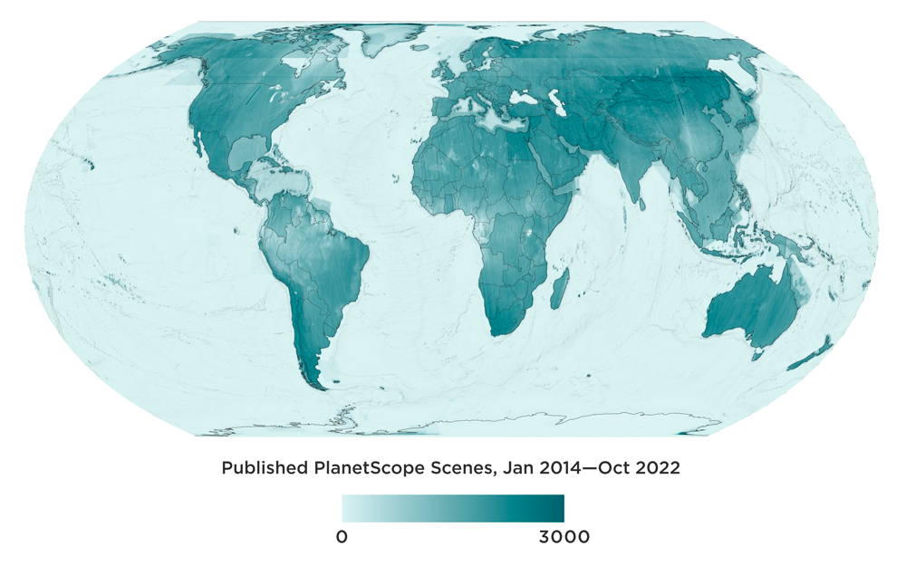
Extensive Global Archive and Fusion Monitoring
Consisting of 10+ billion sq km of imagery, Planet Archive has proprietary datasets back to 2009 and public datasets dating back to 1972. A time series of images captured during the growing season allows agribusinesses and commodities traders to forecast how much yield is expected and how that compares to previous seasons.
Planet Fusion Monitoring distills observations from multiple satellites into a unified, stable, and richly informative dataset. With its uninterrupted stream of data, free of clouds and gaps, the data is radiometrically consistent and ideal for time-series analysis, machine learning pipelines, and other applications that demand clean, consistent data.
© 2026 Planet Labs PBC. All rights reserved.
| Privacy Policy | California Privacy Notice |California Do Not Sell
Your Privacy Choices | Cookie Notice | Terms of Use | Sitemap
