Search

Analysis Ready Hyperspectral Data
With over 400 spectral bands and 30-meter spatial resolution, Planet Hyperspectral data helps monitor what can't be seen by the human eye.
BROAD COVERAGE, FREQUENT REVISIT
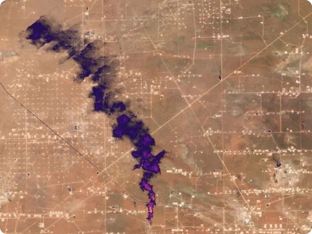
Map, Track, and Quantify Point Source Methane and CO2 Emissions from Orbit
Powered by our groundbreaking Tanager™ mission, our hyperspectral data helps organizations meet the needs of an ever-changing world. Hyperspectral monitoring allows for rapid detection of shifting conditions across massive scales, from wildfires to droughts to methane leaks.
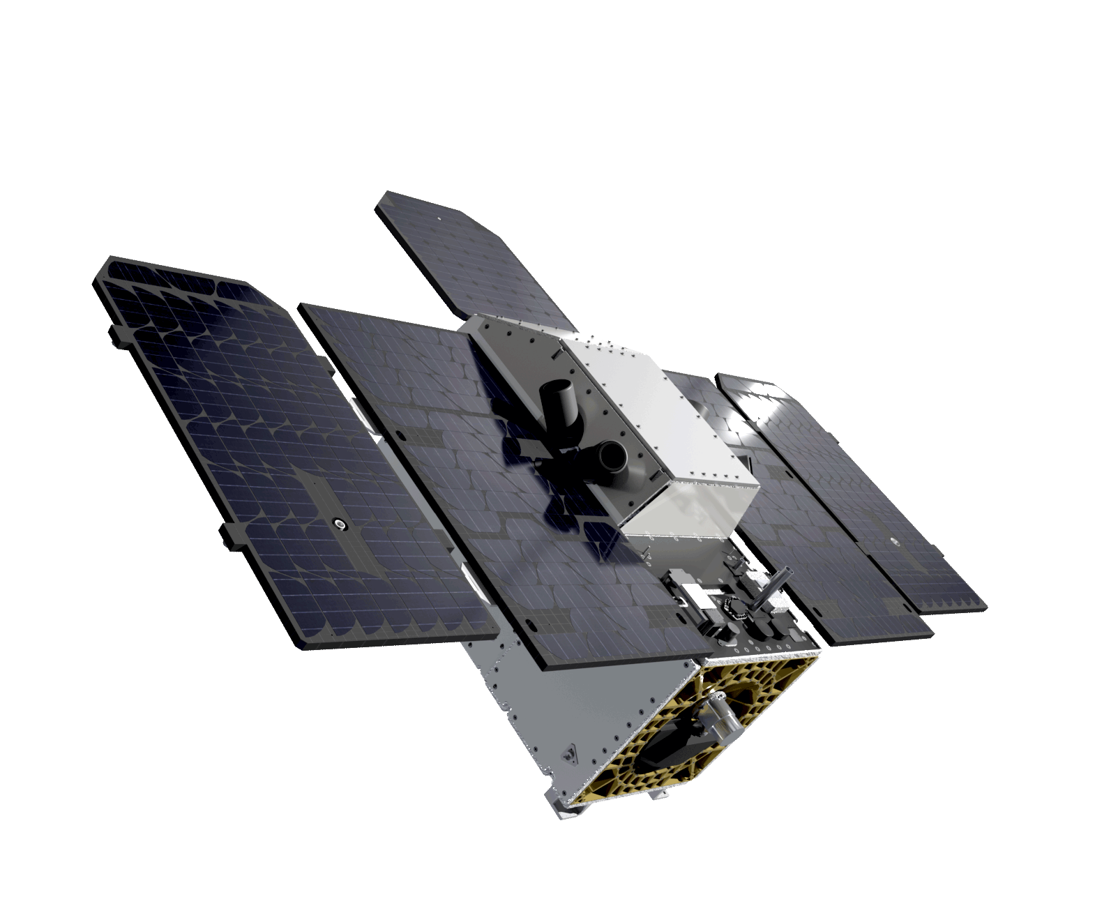
Tanager-1’s next-generation hyperspectral capabilities represent the cutting edge of Earth observation technology. Tanager-1 can image all wavelengths from 400 - 2500 nm simultaneously, providing a comprehensive, multi-faceted dataset. This powerful capability produces imagery that supports diverse uses, ranging from methane and carbon dioxide emission detection to biodiversity and vegetation monitoring.
Planet Hyperspectral Offerings
Planet Hyperspectral Offerings
Our hyperspectral offering includes core imagery and derived methane detection data. Customized tasking and multiple sensitivity operational modes enable custom imagery collection designed to fit your specific business needs. Tasking, ordering, and delivery of Tanager products are made possible through Planet’s easy-to-use APIs.

Core Imagery
Tanager’s core imagery data include calibrated radiance and atmospherically-corrected surface reflectance. These ready-to-use data products are intended for customers who want to utilize the full spectral range to extract application-specific insights.
Core imagery is available in HDF-5 format, unrectified or rectified. Imagery is delivered through Planet’s APIs within 24 hours of image acquisition.
- Radiance - calibrated spectral radiance data for users interested in performing their own atmospheric corrections and custom analyses.
- Surface Reflectance - atmospherically- corrected reflectance data, processed using the ISOFIT family of algorithms, for users aiming to quickly investigate Earth's surface materials and properties.

Methane
Derived in partnership with Carbon Mapper, these products leverage state-of-the-art methane detection algorithms. Tanager’s Methane offerings include Quicklook and Quality Controlled products described below.
Both offerings include GeoTIFF plume imagery, methane concentrations (in ppm-m), plume origin coordinates, and observation date & time.*
- Methane Quicklook - available through Planet’s APIs within 72 hours after acquisition with an initial emission quantification estimate for rapid leak detection and repair.
- Methane Quality Controlled - available through Planet’s APIs within 15 days after acquisition with reliable emission quantification estimates for improved environmental reporting.
*Additional metadata includes emission uncertainty, wind speed, wind direction, and more.

Ready to Get Started?
Get in touch to learn how hyperspectral data can bring new insights to your biggest challenges.
© 2026 Planet Labs PBC. All rights reserved.
| Privacy Policy | California Privacy Notice |California Do Not Sell
Your Privacy Choices | Cookie Notice | Terms of Use | Sitemap
