Search

Customer Stories
As a leading provider of geospatial data globally, Planet equips customers across markets and around the world with the information they need to make the decisions that matter.
Planet provides geospatial data for 900 customers, in over 65 countries
Case Studies
Together with Planet
Customers across industries - from agriculture and government to energy and infrastructure - use Planet solutions to make smarter, data-driven decisions.
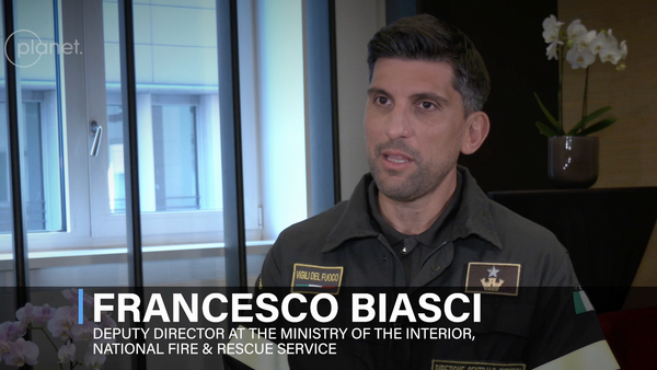
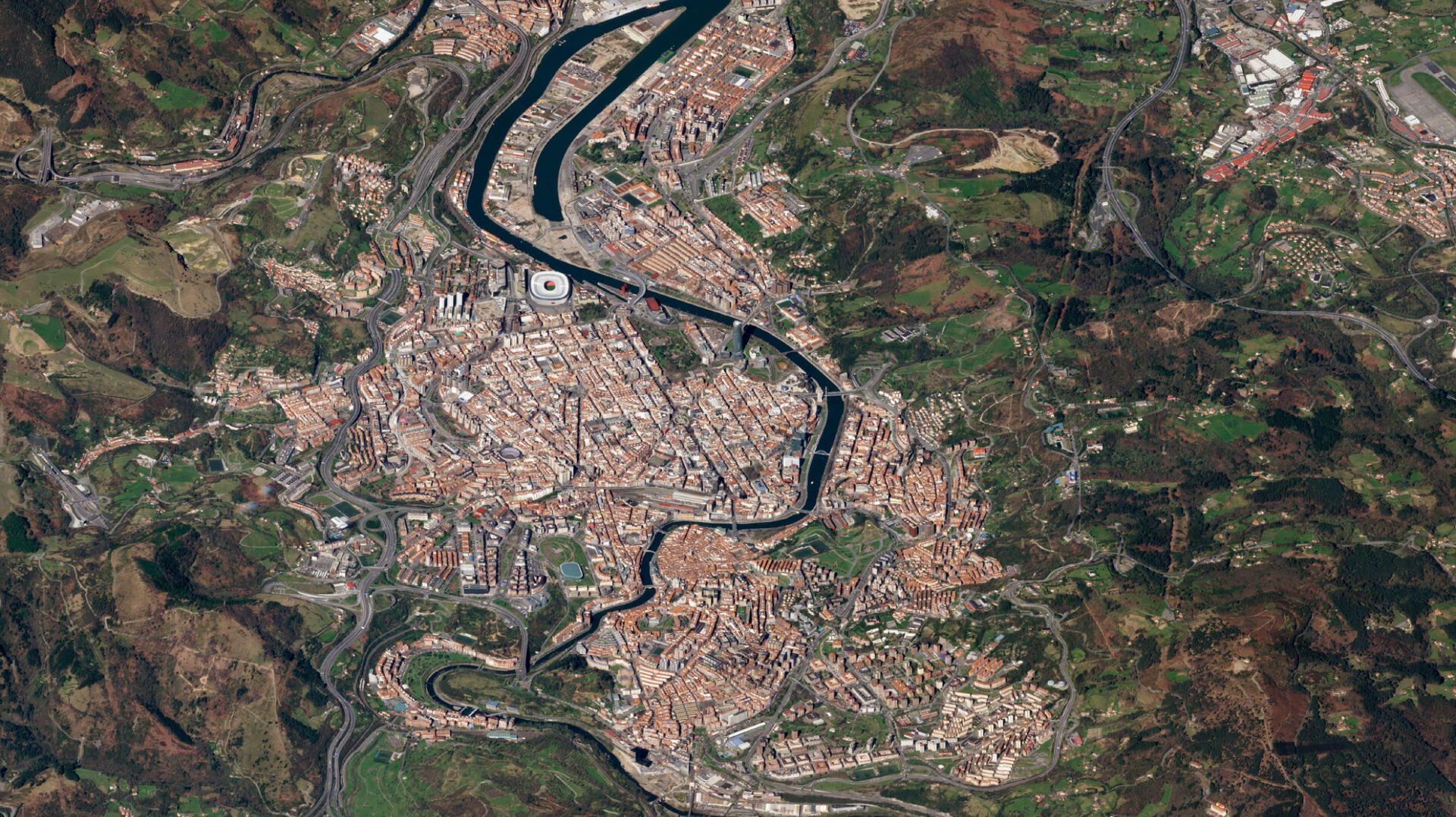
Customer Testimonial: Italian National Fire and Rescue Service
Francesco Biasci and Stefano Frittelli from Itay's National Fire and Rescue Service share how they use Planet satellite date to coordinate response efforts to natural disasters.

Customer Testimonial: Bluebell
Ayman Hamdi from Bluebell shares how they use Planet data to monitor and manage energy infrastructure.
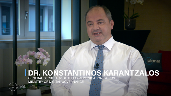
Customer Testimonial: Hellenic Space Center
Dr. Konstantinos Karantzalos from the Hellenic Space Center in Greece's Ministry of Digital Governance shares how they are using Planet data to support agriculture, natural resource management, and national security.
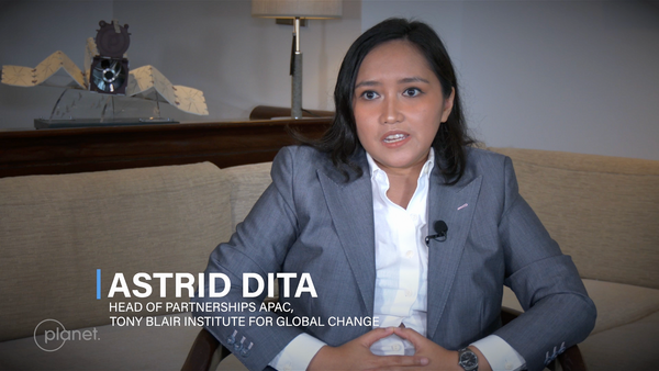
Customer Testimonial: Tony Blair Institute for Global Change
Astrid Dita, Head of Partnerships at the Tony Blair Institute for Global Change, shares how they use Planet data to governments improve their citizens' lives.
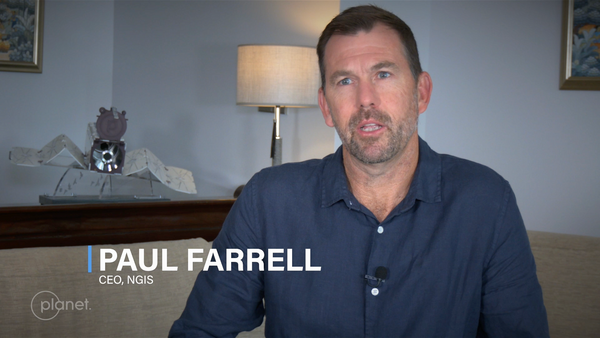
Partner Testimonial: NGIS
Paul Farrell and Ken Gillan at NGIS share how they use Planet data to support customers like the government of New South Wales with emergency response and management.
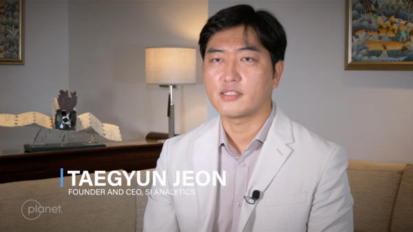
Partner Testimonial: SI Analytics
Taegyun Jeon, Founder and CEO of SIA, shares how they use Planet data to meet the needs to intelligence agencies in the Asia Pacific region. OTR Bali., Founder and CEO of SIA, shares how they use Planet data to meet the needs of intelligence agencies in the Asia Pacific region.
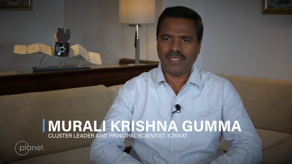
Customer Testimonial: ICRISAT
Murali Krishna Gumma, Principal Scientists at ICRISAT, shares how they use Planet data to improve agricultural outcomes in India.
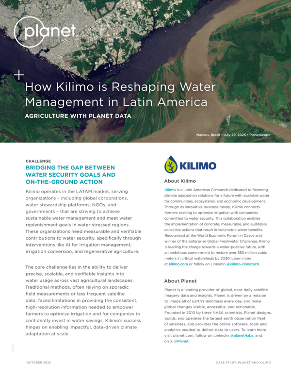
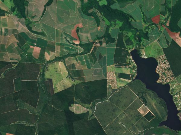
How Kilimo Is Reshaping Water Management in Latin America
Kilimo turned to Planet to integrate PlanetScope data into its Irrigation Manager platform, providing the crucial high-revisit frequency and consistent, high-resolution imagery required for their mission.
Seeing Beyond the Field: How Disagro Is Revolutionizing Agriculture in Latin America
Disagro's AgritecGEO® ecosystem leverages Planet data to improve agriculture outcomes across Latin America.
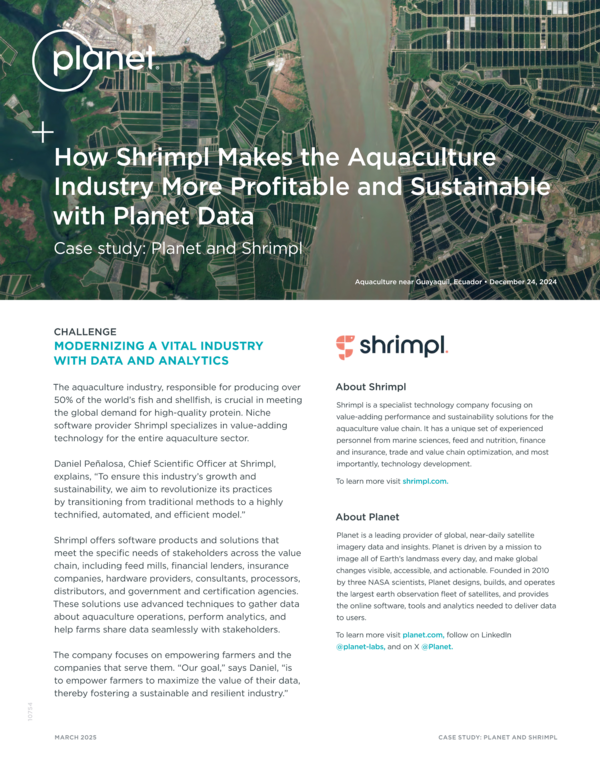
How Shrimpl Makes the Aquaculture Industry More Profitable and Sustainable With Planet Data
PlanetScope data was instrumental in building Shrimpl SatEye, an unprecedented monitoring toolkit for the aquaculture farming industry.
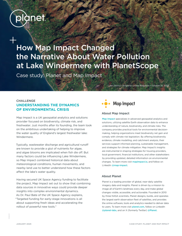
How Map Impact Changed the Narrative About Water Pollution at Lake Windermere With PlanetScope
Map Impact leverages PlanetScope data to understand and quantify changing conditions in Lake Windermere.
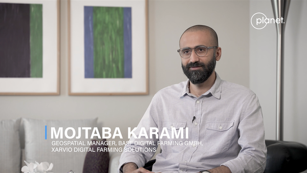
Customer Testimonial: BASF Digital Farming
Mojtaba Karami, Geospatial Manager at BASF Digital Farming, shares how they use PlanetScope daily imagery and Plantery Variable Crop Biomass data to make farming more sustainable and profitable for the growers.
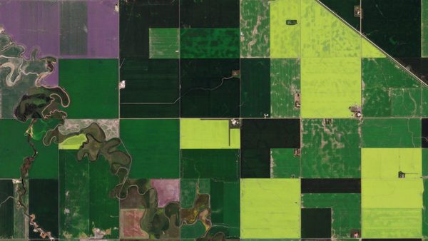
BASF and Planet: Revolutionizing Agriculture With Digital Innovation
BASF uses analytics derived from Planet’s near-daily imagery to support growers in sustaining expected yields while making more efficient use of crop protection products.
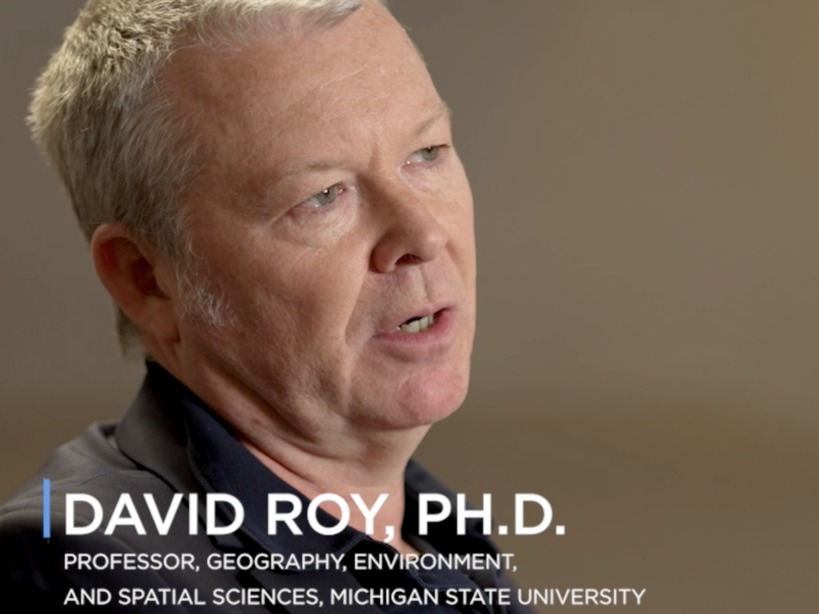
Customer Testimonial: Michigan State University
David Roy, Professor of geography, environment, and spatial studies at Michigan State University, explains how his team uses PlanetScope date to track and measure the impact of fires across the globe.
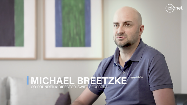
Partner Testimonial: Swift Geospatial
Michale Breetzke, Co-founder and Director of Swift Geospatial, discusses how they leverage their Planet partnership to bring value to their customers in agriculture, forestry, mining.

Swift Geospatial and Planet: A Partnership for Transforming Geospatial Data into Knowledge
Swift Geospatial, a GIS and remote sensing company, leverages near-daily Planet imagery to create proprietary dashboards that enable efficient and sustainable solutions.
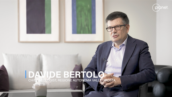
Customer Testimonial: Regione Autonoma Valle d'Aosta
Davide Bertolo from the Regione Autonoma Valle d'Aosta shares how they are able to detect and prevent geohazards within their region.
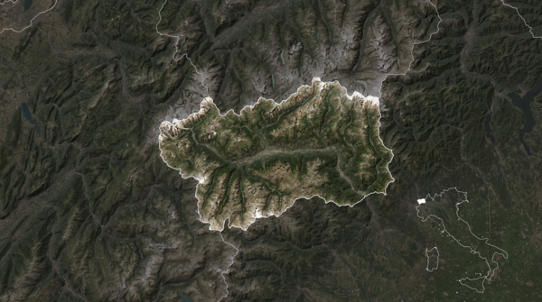
Driving Innovative Approaches for Proactive Disaster Management: The Aosta Valley of Northern Italy
To mitigate natural disasters, the government of the Aosta Valley leverages Planet satellite data to build an early warning system aimed at effectively managing riverbeds and preventing floods.
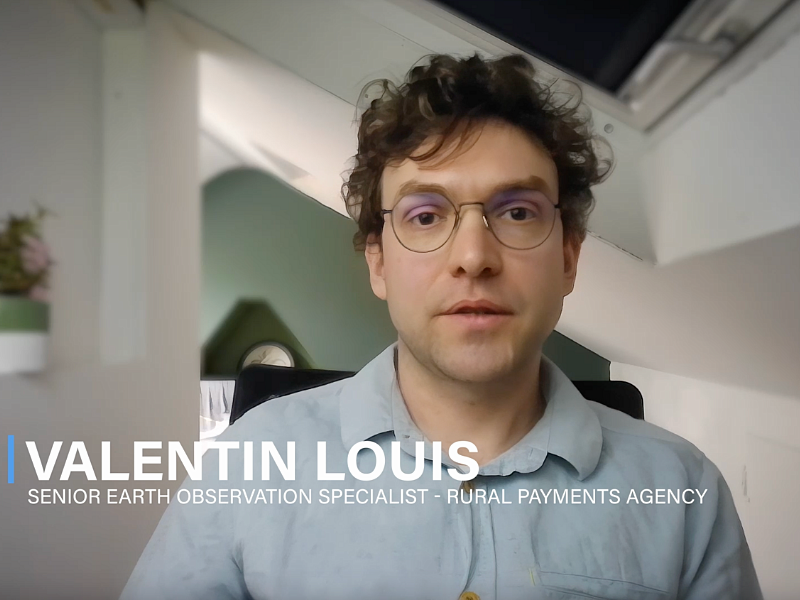
Customer Testimonial: England Rural Payments Agency
Valentin Louis, Senior Earth Observation Specialist at Rural Payments Agency, shares how Planet Insights Platform has helped them streamline access to data and scale workflows across their entire country.
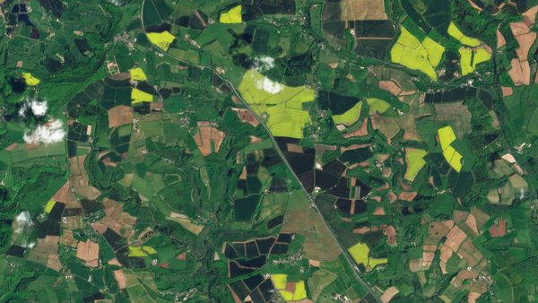
Planet Insights Platform Transforms Agricultural Data Management
Using Planet data and publicly available satellite data, RPA was able to conduct broad area management at a national scale - and go back in time to evaluate when and where farmers and landowners implemented sustainable farming practices.
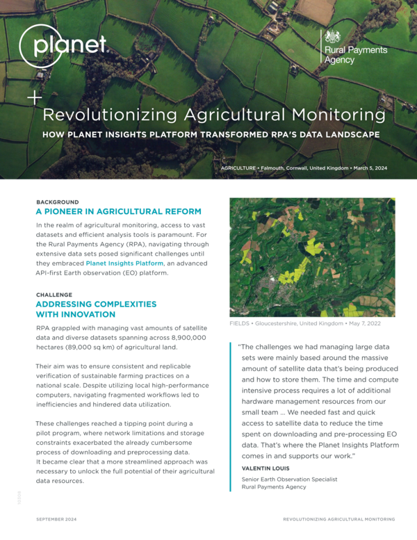
Revolutionizing Agricultural Monitoring
In the realm of agricultural monitoring, access to vast datasets and efficient analysis tools is paramount. For the Rural Payments Agency (RPA), navigating through extensive data sets posed significant challenges until they embraced Planet Insights Platform.
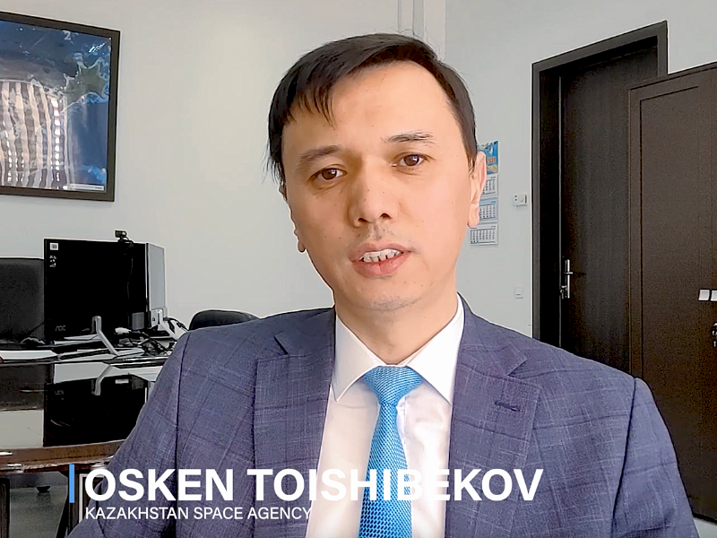
Customer Testimonial: Kazakhstan Space Agency
Osken Toishibekov from the Kazakhstan Space Agency shares how they are able to monitor agriculture, deforestation, water systems, and other activity across their entire country.
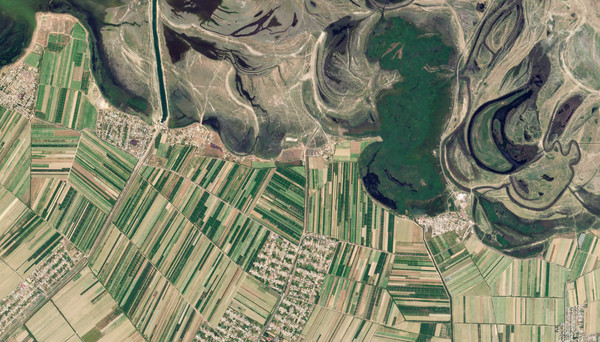
Kazakhstan Leverages Planet Data for Agriculture, Resource Management, and Disaster Response
The combination of Planet and public data allows Kazakhstan to realize the full utility of satellite imagery in improving the efficiency and efficacy of public administration.
Planet and Bayer: Shaping the Future of Farming From Space
In pursuit of its mission - health for all, hunger for none - Bayer leverages Planet imagery and analysis-ready data products to optimize product supply at a global scale.

Planet and Bayer Partner to Shape the Future of Farming With Resilient Supply Chains and Enhanced Product Development
This profile of Planet's partnership with Bayer highlights how they leverage Planet data to optimize product supply at a global scale.
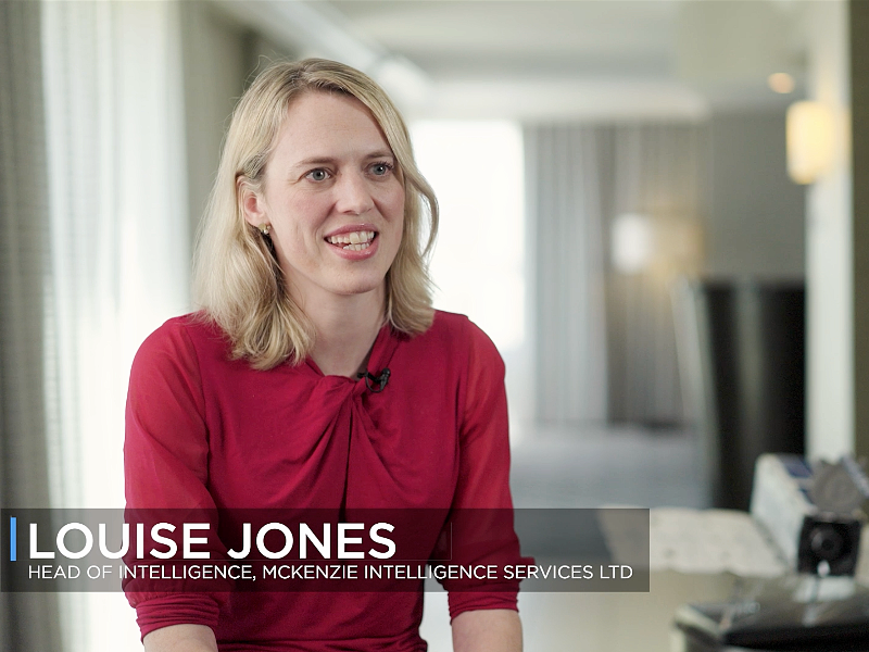
Customer Testimonial: McKenzie Intelligence Services
Louise Jones, Head of Intelligence for McKenzie Intelligence Services, shares how Planet data helps them assess natural disasters and accelerate decision-making processes.
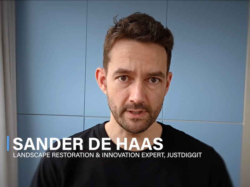
Customer Testimonial: Justdiggit
Sander De Haas, a landscape restoration and innovation expert at Justdiggit, shares how they use a range of Planet satellite imagery to monitor and measure the success of their large-scale restoration work on dry land in Africa.
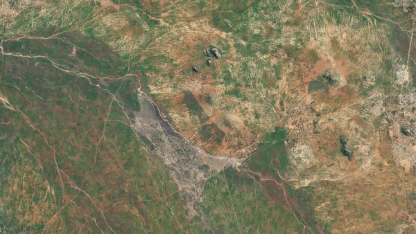
Seeing African Restoration From Space: Planet and Justdiggit Enable Nature-Based Solutions to Regreen the Land
Justdiggit, a nonprofit dedicated to supporting land restoration through nature-based solutions, uses Planet data to quantify and evaluate changes across African landscapes and ecosystems.

Partner Testimonial: Synthetaic
Corey Jaskolski, President and CEO of Synthetaic, shares how their artificial intelligence (AI) software leverages Planet global data to draw insights across time.
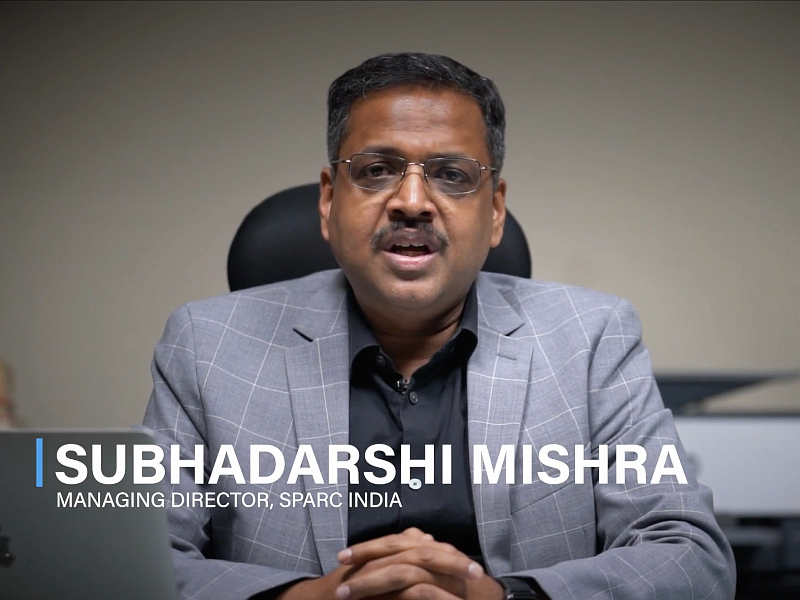
Customer Testimonial: ORSAC and SPARC
Subhadarshi Mishra, Managing Director of the Odisha Space Application Centre (ORSAC) and Spatial Planning & Analysis Research Centre (SPARC) shares how Planet imagery helps them monitor land use and drive policy decisions.
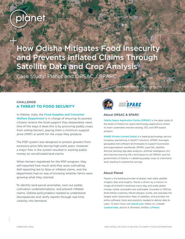
How Odisha Mitigates Food Insecurity and Prevents Inflated Claims Through Satellite Data and Crop Analysis
By using GIS, artificial intelligence (AI), and machine learning (ML) techniques to analyze Planet, the Food Supplies and Consumer Welfare Department in Odisha, India dramatically improved the reporting of crop production - resulting in millions of dollars in government savings.
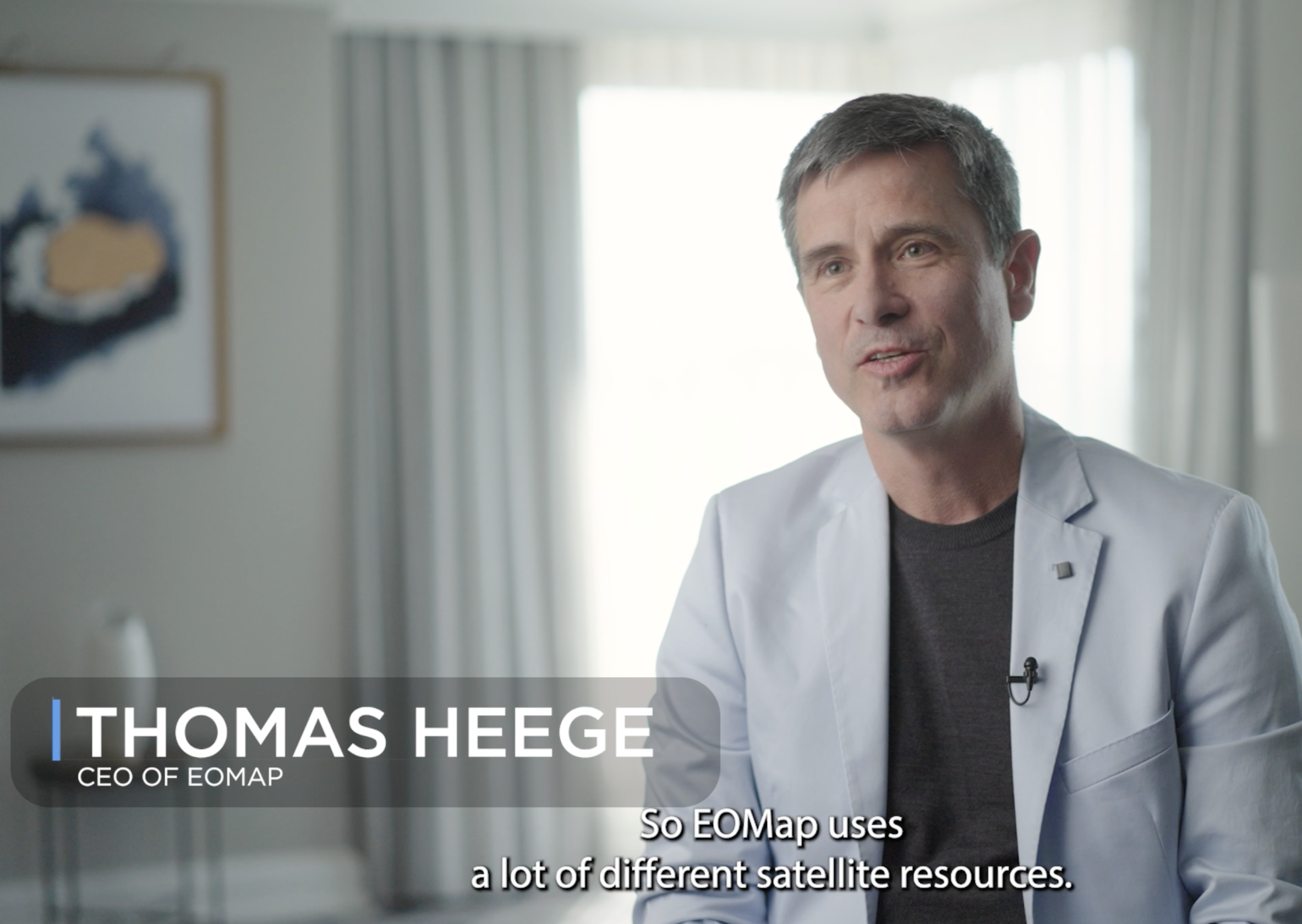
Partner Testimonial: EOMap
Dr. Thomas Heege, Managing Director of EOMAP, shares how Planet data is used to monitor water quality globally. He discusses use cases involving harmful algae blooms, coastal zones, and wetland ecosystems.
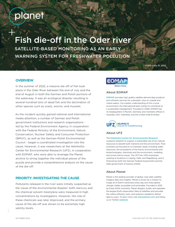
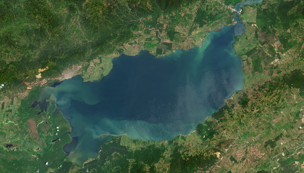
Fish Die-Off in the Oder River
Planet, together with our partner EOMAP, present a use case of how satellite monitoring can help to prevent water pollution, following a massive fish killing accident in the Oder river in summer 2022.

Customer Video Testimonial: Greenrhino
Jagannathan Doraiswamy, co-founder and CEO of Greenrhino, spoke to Planet about the powerful work they are doing to supports Agribusiness.
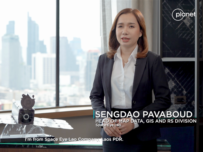
Partner Testimonial: Space Eye Lao
Sengdoa Pavaboud, Head of Map Data, GIS and RS Division for Space Eye Lao, spoke to Planet about their innovative work in Southeast Asia to support mapping and analysis needs across the private and public sectors.
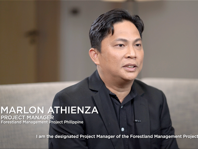
Customer Testimonial: Forestland Management Project Philippines
FMP shares how they use Planet data to improve forest conservation and socio-economic conditions of affected communities.
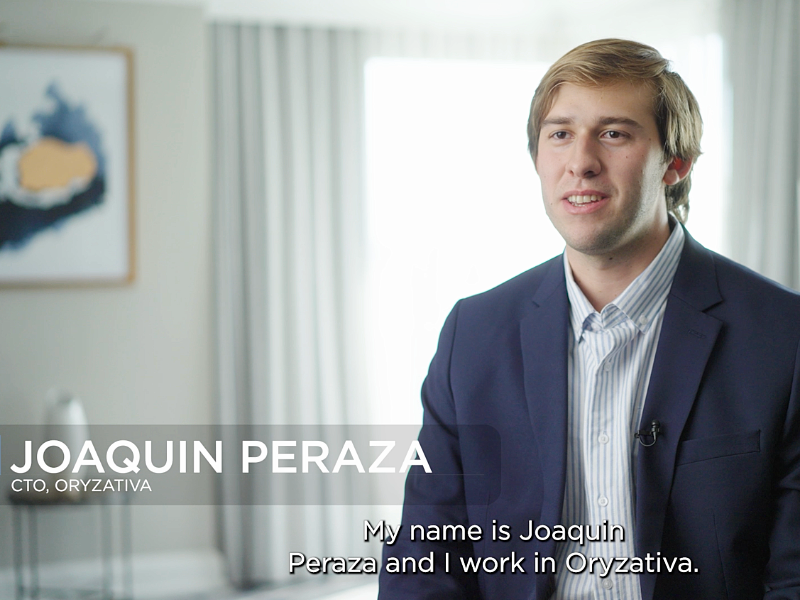
Customer Testimonial: Oryzativa
Joaquin Peraza, CTO of Oryzativa, shares how Planet data is used to monitor irrigation of rice fields in South America. He highlights irrigation management and directed scouting with Planet data.
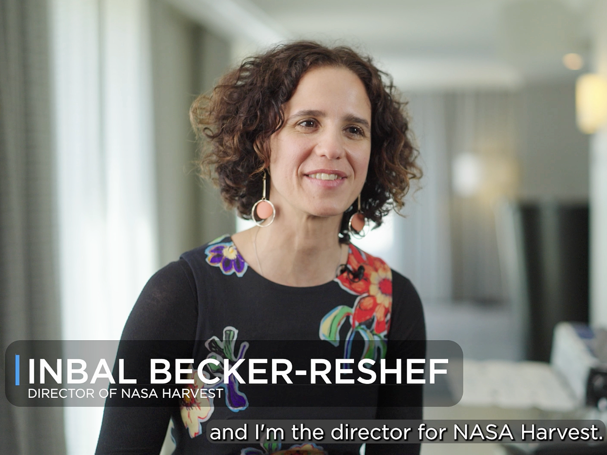
Customer Testimonial: NASA Harvest
Inbal Becker-Reshef, Director of NASA Harvest, shares how Planet data helps monitor crops around the world to measure food security.
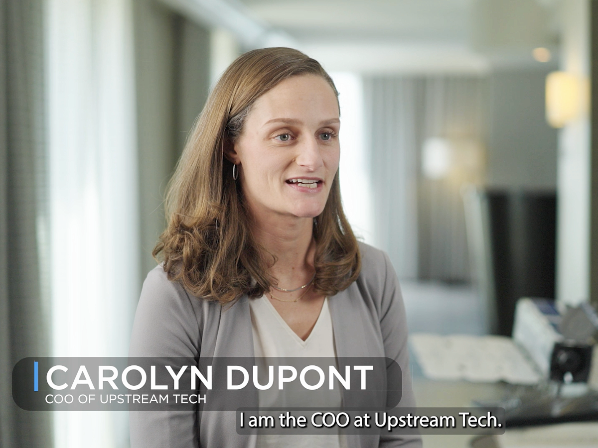
Partner Testimonial: Upstream Tech
Carolyn duPont, COO of Upstream Tech, shares how Planet data is used in Upstream Tech's Lens platform. She discusses how to monitor protected lands globally and track illegal behavior.
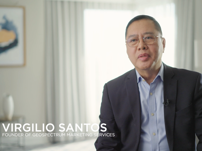
Partner Testimonial: Geospectrum Marketing Services
Virgilio Santos, Founder and General Manager of Geospectrum Marketing Services, shares how Planet data is used help decision makers when natural disasters or changes in the environment occur.
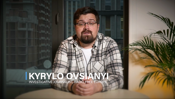
Customer Testimonial: Radio Free Europe
Kyrylo Ovsianyi, an investigative journalist at Radio Free Europe, shares his experience using Planet satellite imagery to investigate and expose Russian war crimes in Ukraine.
Satellite Data for Transparency in Global Conflict: Radio Free Europe/Radio Liberty on Russia’s War Against Ukraine
Radio Free Europe/Radio Liberty’s (RFE/RL) Schemes investigative unit uses Planet data to monitor hard to reach locations to reveal critical turning points in Russia’s war against Ukraine.
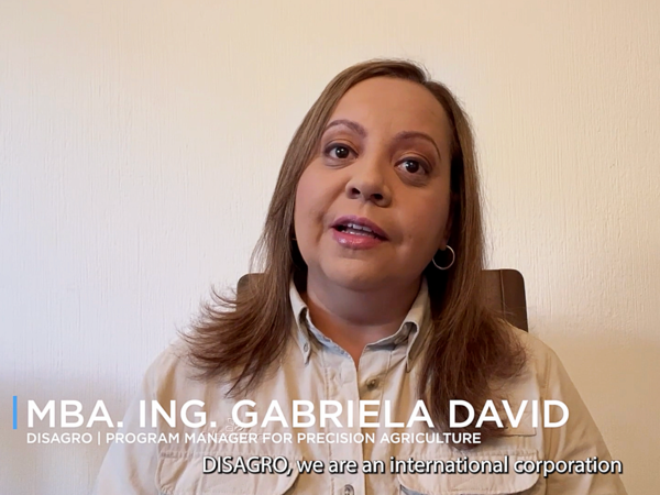
Customer Testimonial: DISAGRO
Gabriela David, Program Manager at DISAGRO, describes how their relationship with Planet helps them advance digital agriculture across Central America.
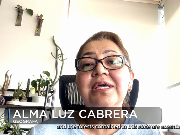
Customer Testimonial: National Laboratory for Earth Observation
Alma Luz Cabrera, a project assistant at the National Laboratory for Earth Observation, outlines how they use Planet imagery to track and measure change in the forest cover across the State of Mexico.
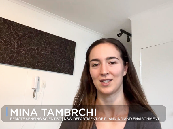
Customer Testimonial: New South Wales Department of Planning and Environment
Mina Tambrchi, Remote Sensing Scientist for the New South Wales Department of Planning and Environment, describes how they use Planet near-daily imagery to inform conservation efforts and monitor natural disasters - such as flooding.

Customer Testimonial: The Royal United Services Institute (RUSI)
A profile of how the Royal United Services Institute (RUSI) used Planet satellite imagery to identify illegal oil shipments to North Korea.
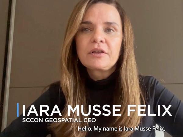
Partner Testimonial: SCCON Geospatial
Iara Musse Felix, CEO of SCCON Geospatial, shares how they leverage various Planet products within their platform to help customers track and quantify a range of activity, from biodiversity loss and natural disasters to deforestation.
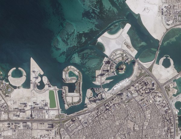
Planet Satellite Data + AI Enables the Kingdom of Bahrain to Manage Smart Cities
The Kingdom of Bahrain’s Survey and Land Registration Bureau (SLRB), in collaboration with Aetosky, has implemented an advanced urban planning system that integrates AI-enabled change detection technology with Planet high-resolution satellite imagery.
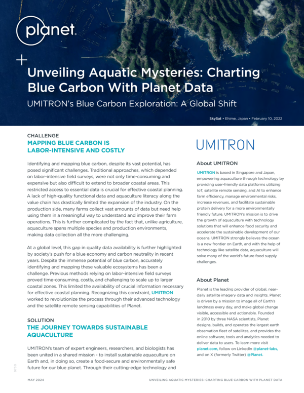
Unveiling Aquatic Mysteries: Charting Blue Carbon With Planet Data
Using PlanetScope data, UMITRON was able to successfully estimate the amount of blue carbon and discover previously undiscovered seagrass.
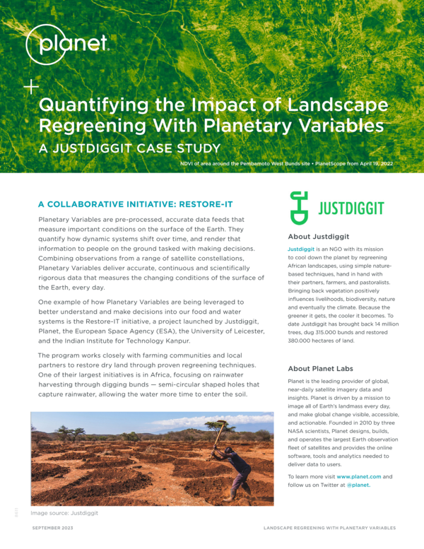
Quantifying the Impact of Landscape Regreening With Planetary Variables
Planetary Variables are being leveraged to better understand and make decisions into our food and water systems is the Restore-IT initiative, a project launched by Justdiggit, Planet, the European Space Agency (ESA), the University of Leicester, and the Indian Institute for Technology Kanpur.
Data Utilization Is at the Heart of Governance: Conducting a Census of Somalia
A new tool developed by the UK Office for National Statistics (ONS) leverages Planet data and census data to coordinate future humanitarian relief efforts globally.
Syngenta: Pioneering the Fight Against Harmful Nematodes With Satellite Data
The Syngenta Nema Digital platform leverages Planet high-resolution satellite images and a proprietary algorithm to find areas with high nematode infestations. By identifying anomalies in the soy canopy, farmers gain crucial insights at the beginning of the growing season.
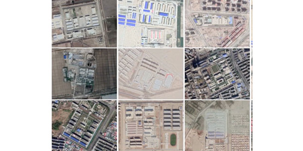
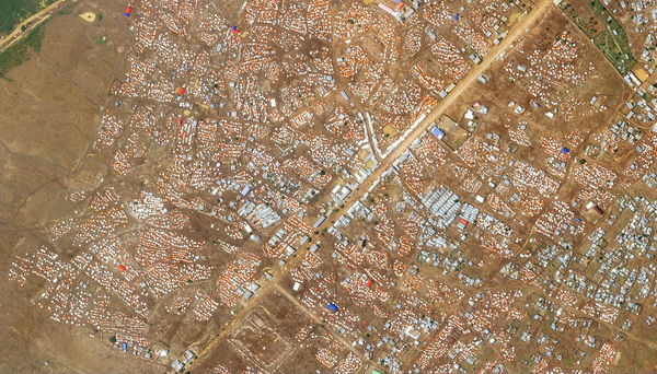
Customer Highlight: BuzzFeed's Pulitzer Prize-Winning Investigation
With the help of Planet's high resolution satellite imagery, a team of investigative journalists were able to uncover hundreds of camps and prisons in Xinjiang.
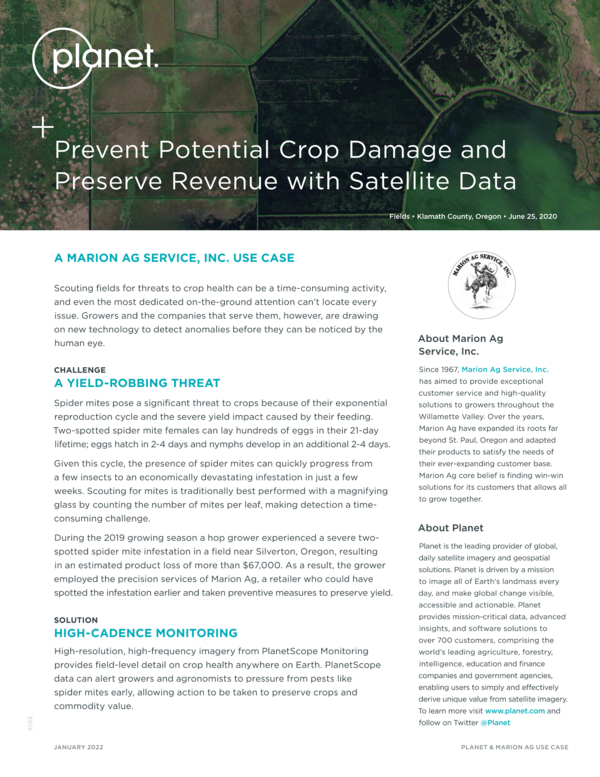
Prevent Potential Crop Damage and Preserve Revenue With Satellite Data
With reliable data from Planet, Marion Ag Service allows agronomists and growers to see early signs of pests like spider mites early, allowing action to be taken to preserve crops and commodity value.
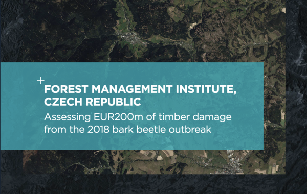
Assessing EUR200m of Timber Damage From the 2018 Bark Beetle Outbreak
Using PlanetScope as their primary dataset, FMI undertook a comprehensive geospatial analysis and created a national, public portal for forest stakeholders to assess and respond to the current bark beetle epidemic.
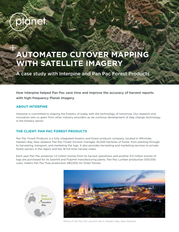
Automated Cutover Mapping With Satellite Imagery
Led by consultation from Interpine, Pan Pac Forest Products automated the collection and reporting on clearfell areas by using high-frequency Planet data.
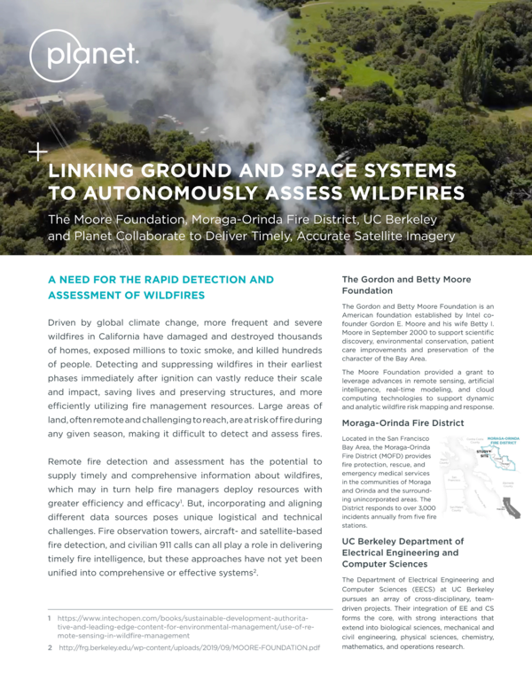
Linking Ground and Space Systems to Autonomously Assess Wildfires
The Moore Foundation, Moraga-Orinda Fire District, UC Berkeley and Planet collaborate to deliver timely, accurate satellite imagery that supports remote detection and assessment of wildfires.
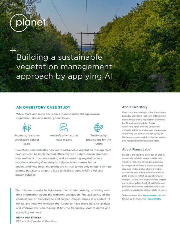
Building a Sustainable Vegetation Management Approach by Applying AI
Overstory demonstrates how more sustainable vegetation management practices can be implemented efficiently with a data-driven approach.
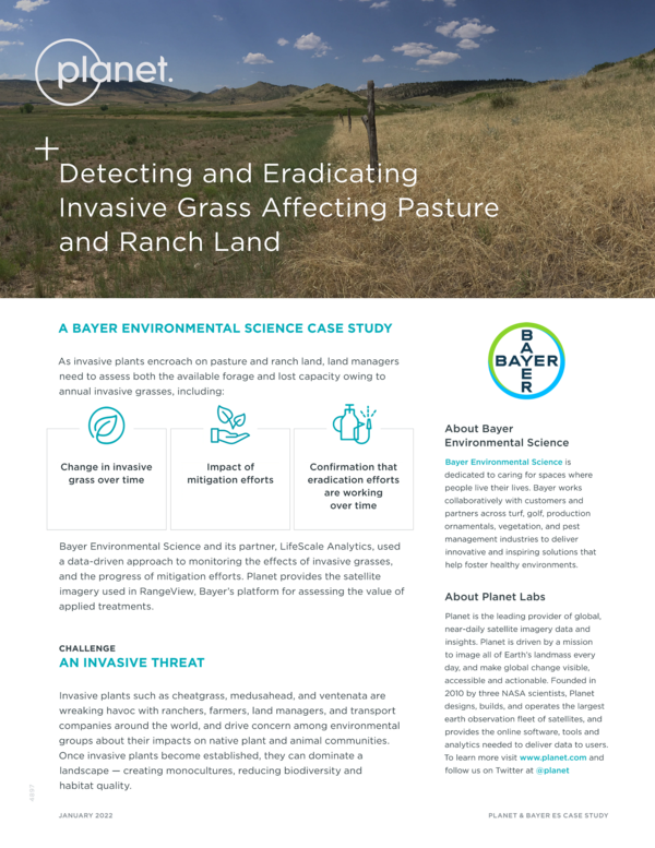
Detecting and Eradicating Invasive Grass Affecting Pasture and Ranch Land
Bayer Environmental Science uses Planet satellite data to help monitor the effects of invasive grasses and the progress of mitigation efforts.
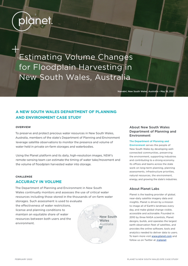
Estimating Volume Changes for Floodplain Harvesting in New South Wales Australia
Using the Planet platform and images, the New South Wales remote-sensing team can estimate the timing of water take/movement and the volume of floodplain harvested water into storage.
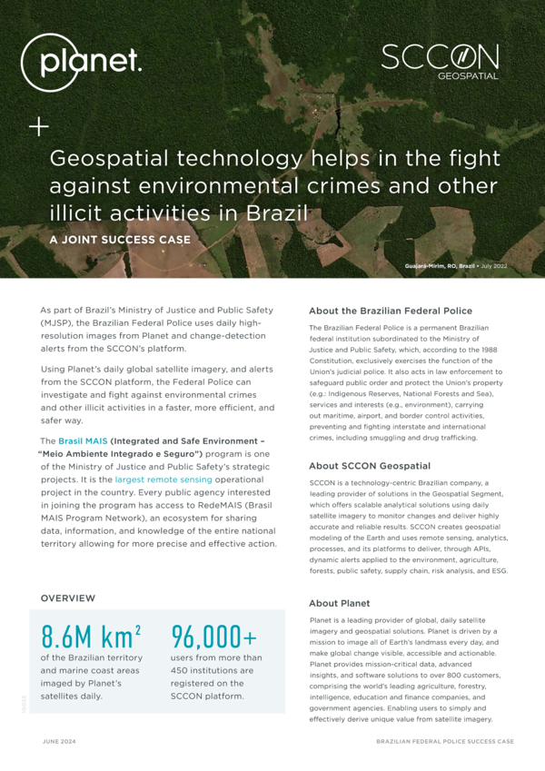
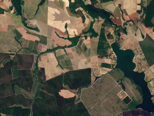
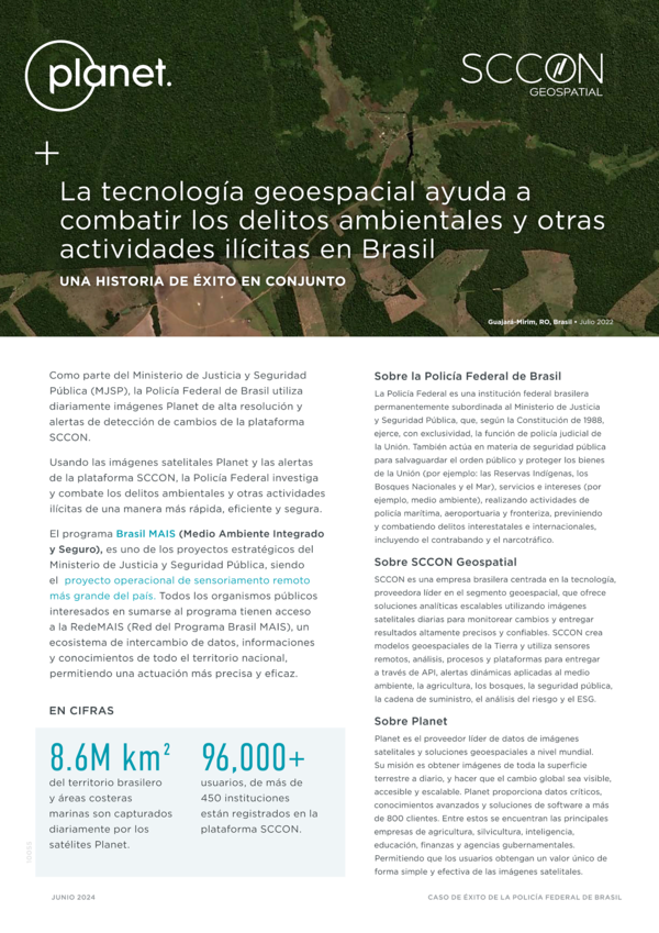
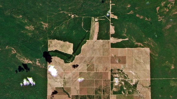
Geospatial Technology Helps in the Fight Against Environmental Crimes in Brazil
With the application of Planet's satellite data and SCCON's change detection alerts, the Brazilian Federal Police has made great strides in preventing illicit activities in one of the most remote regions of the world.
La Tecnología Geoespacial Ayuda a Combatir los Delitos Ambientales y Otras Actividades Ilícitas en Brasil
Con el uso de los datos satelitales de Planet y las alertas de detección de cambios de SCCON, la Policía Federal brasileña ha logrado grandes avances en la prevención de actividades ilícitas en una de las regiones más remotas del mundo.
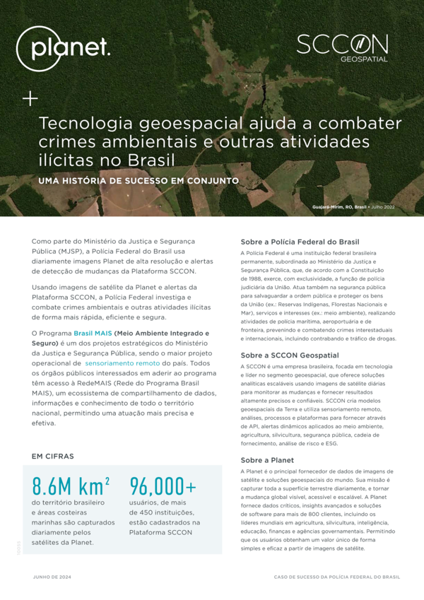
Tecnologia Geoespacial Ajuda a Combater Crimes Ambientais e Outras Atividades Ilícitas no Brasil
Com a implementação dos dados de satélite do Planet e dos alerta de detecção de alterações da SCCON, a Polícia Federal Brasileira deu grandes passos na prevenção de atividades ilícitas numa das regiões mais remotas do mundo.
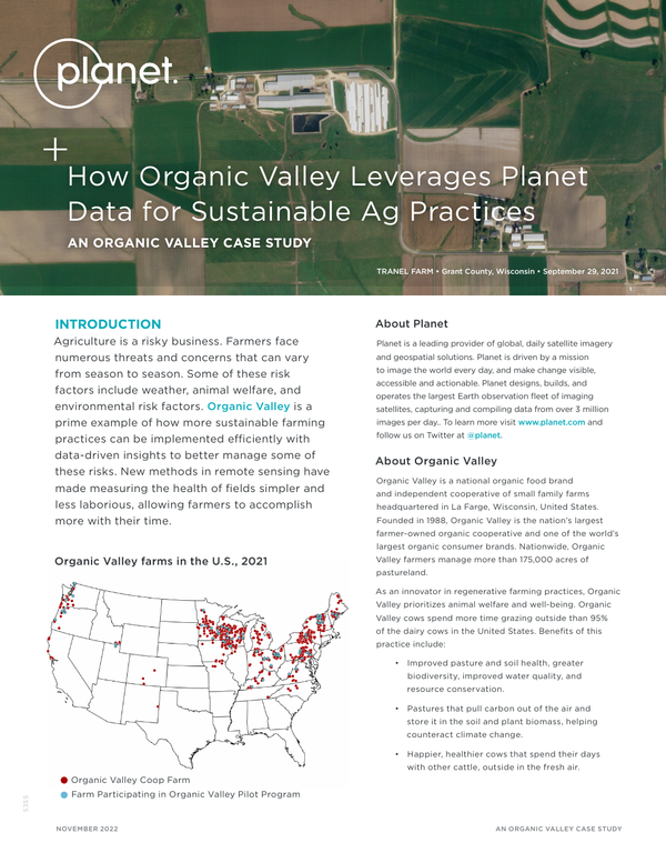
Planet Organic Valley Case Study
Organic Valley leverages Planet data to generate paddock-level reports that help them manage pasture health and maximize their grazing success.
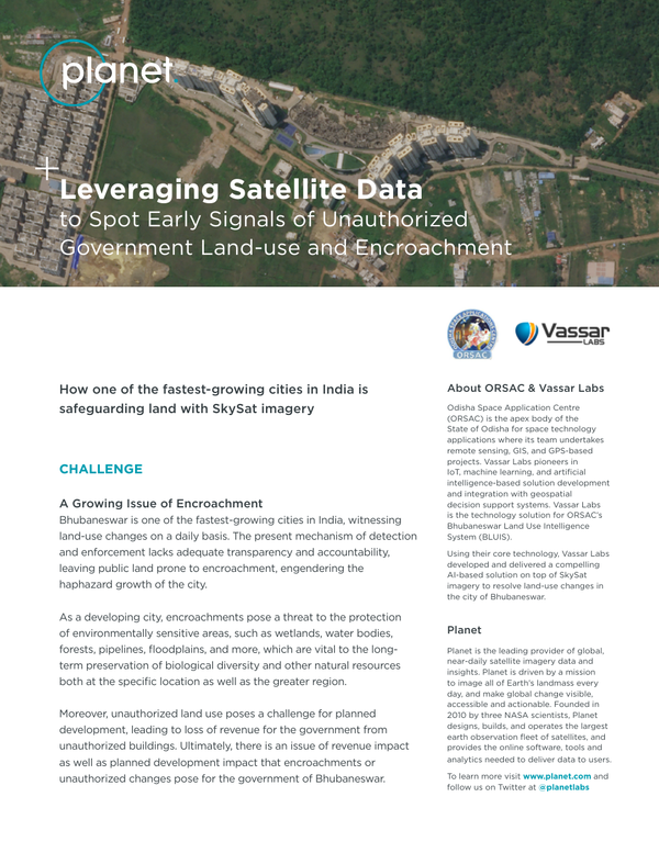
Leveraging Satellite Data to Spot Early Signals of Unauthorized Government Land Use
ORSAC together with Vassar Labs leverages Planet’s high-frequency and high-resolution SkySat imagery on a monthly cadence to monitor unauthorized land-use changes and encroachments.
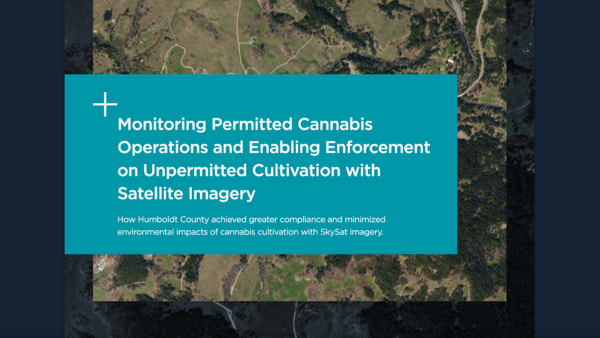
Monitoring Permitted Cannabis Operations With Satellite Imagery
Humboldt County achieved greater compliance and minimized environmental impacts of cannabis cultivation by leveraging Planet SkySat imagery.
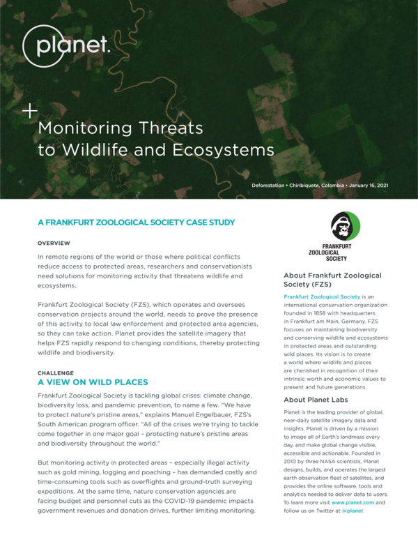
Monitoring Threats to Wildlife and Ecosystems
Planet provides the satellite imagery that helps Frankfurt Zoological Society (FZS) rapidly respond to changing conditions, thereby protecting wildlife and biodiversity.
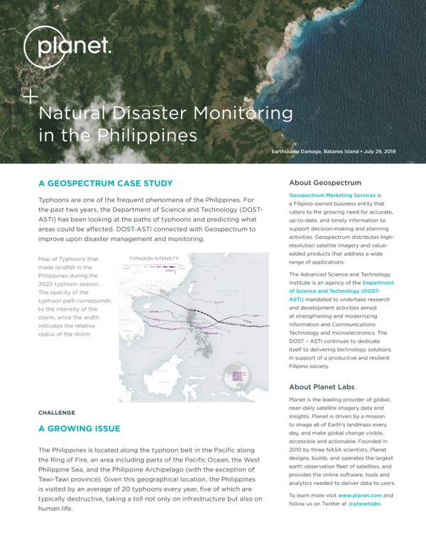
Natural Disaster Monitoring in the Philippines
The Phillipeans has a long history of natural disasters - from tsunamis and landslides to earthquakes. Planet imagery allows their Department of Science and Technology (DOST-ASTI) to better prepare for and respond to these events.
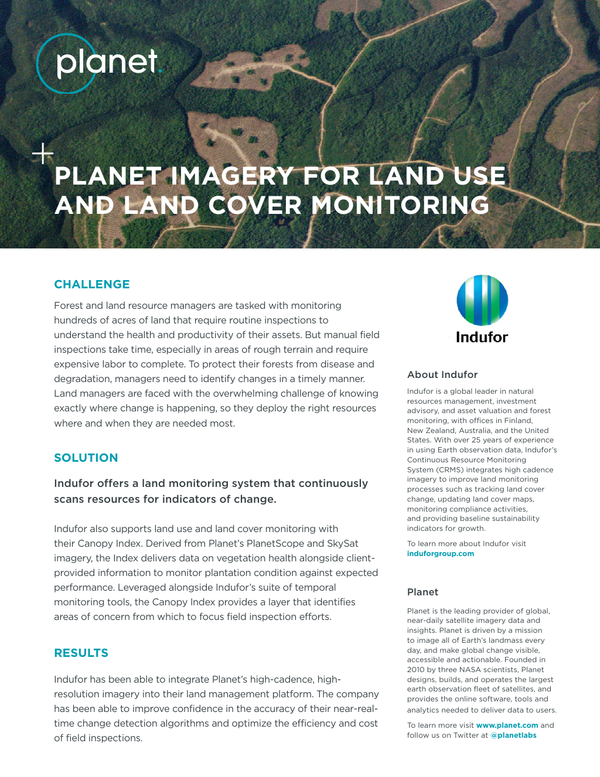
Planet Imagery For Land Use And Land Cover Monitoring
Land resource managers at Indufor leverage Planet data to identify changes as they occur and protect their forest from disease and degradation.
Protecting and Maintaining State Woodlands With Broad-Area Imagery
With Planet imagery, the Brandenburg Forestry Authority is better able to monitor, manage, and protect state forest resources.
Protecting Natural Heritage Areas With Satellite Imagery
With the help of Geocento and Planet data, Ireland's National Parks and Wildlife Service (NPWS) is able to monitor and safegaurd bog natural heritage areas.
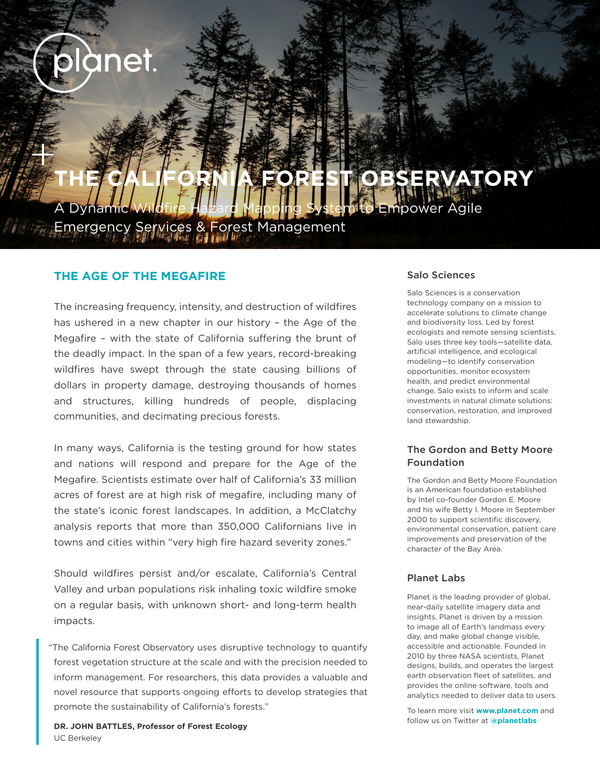
The California Forest Observatory Case Study
Pioneered by Salo Sciences, Planet, and the Gordon and Betty Moore Foundation, the California Forest Observatory is a data-driven forest monitoring system that maps drivers of wildfire behavior across the state - including vegetation fuels, weather, topography, and infrastructure.
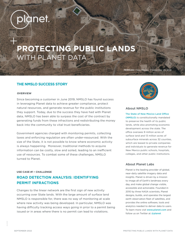
Protecting Public Lands
The New Mexico State and Land Office (NMSLO) uses Planet imagery to achieve greater compliance, protect natural resources, and generate revenue for the vital public institutions that they support.
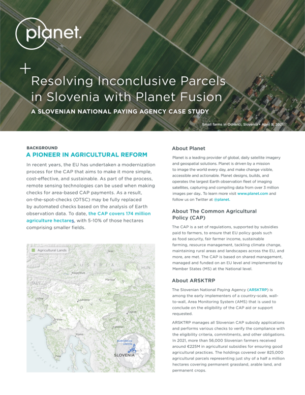
Resolving Inconclusive Parcels in Slovenia With Planet Fusion
This case study explores how Planet Fusion assists ARSKTRP in improving the operational efficiency of remote sensing management of the common agricultural policy (CAP).
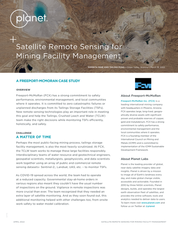
Satellite Remote Sensing for Mining Facility Management
At Freeport-McMoRan (FCX), interdisciplinary teams of engineers and scientists leverage Planet data to help monitor and manage tailings storage facilities (TSFs).
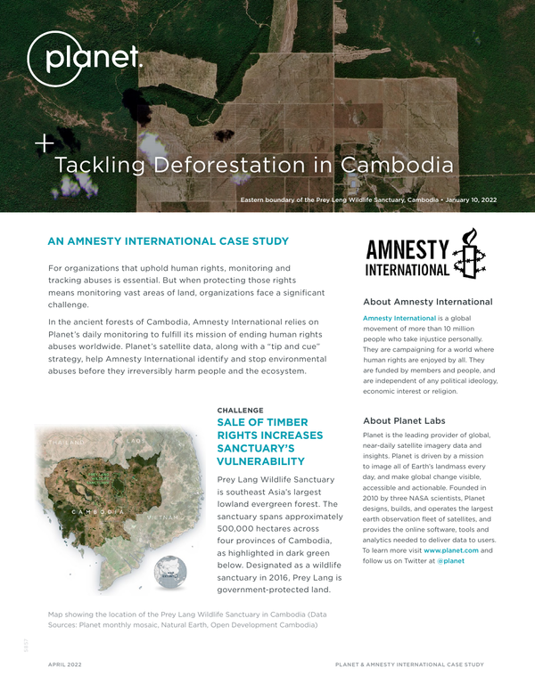
Tackling Deforestation in Cambodia
Amnesty International relies on Planet data to help them identify and stop environmental abuses before they irreversibly harm people and the ancient forests of Cambodia.
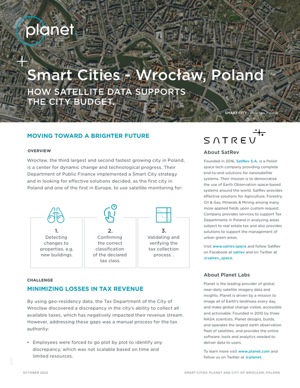
Smart Cities - Wrocław, Poland How Satellite Data Supports the City Budget
The Department of Public Finance in Wrocław, Poland, uses Planet satellite imagery to monitor changes to urban infrastructure that have implications for tax revenue.
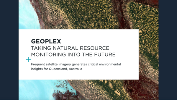
Taking Natural Resource Monitoring Into the Future
With a vast 1.8 million square kilometers of farmland, forest, coral reefs, and other resources to manage, the Department of Natural Resources and Mines (DNRM) in Queensland, Australia relies on Planet satellite imagery as a critical source of information.
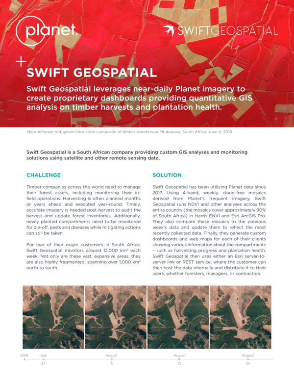
Swift Geospatial Leverages Planet Imagery to Analyze Timber Harvests
Swift Geospatial uses Planet data to monitor and analyze change across approximately 12,000 square kilometers of forest in South Africa, every week.
Closing the Intelligence Gap for the U.S. Marine Corps
Chief Warrant Officer 3 Andrew D. Kremmel from the 5th Marine Regiment shares how global, high-cadence Planet satellite imagery improves their ability to sense and observe activity on the ground.
Capturing Renewable Energy Insights for Investors
Using Planet satellite data, Lium Research is capturing daily imagery of renewable energy projects, enabling them to analyze critical details of construction timelines and operations
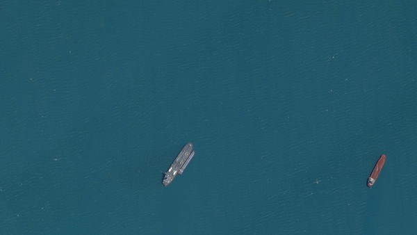
Planet's Data Leveraged to Identify Dark Vessels and Monitor the Illicit Russian Oil Trade
Royce Geo leveraged Planet imagery, along with their computer vision models, to uncover critical answers to how tanker traffic volumes from Russia are changing, and where they are exporting and importing unsanctioned Russian oil across the globe.
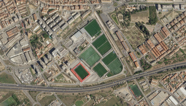
How Planet Data Keeps the Ball Rolling for Sports Teams
The E-STRATOS platform uses Planet satellite imagery to provide an automated data store that helps land managers monitor field changes and ensure uniform terrain.
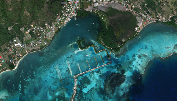
The Nature Conservancy and Planet Collaborate to Map Blue Carbon
Learn about the Blue Carbon Explorer, a tool developed by the Nature Conservancy to help map mangrove and seagrass blue carbon using Planet satellite data.
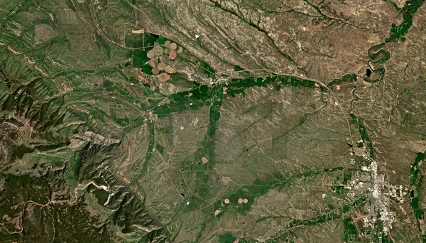
How the State of Wyoming Is Using Planet Data to Preserve Western Rangelands
IMAGINE, a diverse partnership of state and environmental agencies across Wyoming, use remote sensing along with ground data to create strategies for mitigating the negative impacts of invasive annual grasses on the sagebrush ecosystem.
Verdi Uses Planet Data to Help Farmers Save 7 Million Liters of Water While Improving Crop Quality and Yield
Verdi, a leading agtech firm, leverages Planet data to augment and automate legacy irrigation infrastructure - allowing farmers to radically improve productivity and reduce water risk.
Planet Satellites Help SynMax Usher in a New Transparent Energy Economy
SynMax, a satellite data analytics company specializing in the use of commercial satellite images to find and monitor oil and gas assets and provide maritime intelligence data, has a solution that will guide energy traders.
How Upstream Tech’s Lens Platform and Planet Imagery Help One Tree Planted Visualize the Future of Global Reforestation
One Tree Planted uses Upstream Tech’s Lens platform to make Planet imagery easy for users to interact with — and cost-effective.
NASA Harvest Tracks Frontline Agriculture Patterns With Planet’s Satellite Data
Leveraging Planet satellite image datasets, NASA Harvest has been monitoring potential threats to global food security caused by the Russo-Ukrainian War.
Planet Data Helps Advance the Promise of Digital Agriculture and Enables Novel Water Dynamics Research
Scientists from King Abdullah University of Science and Technology’s (KAUST) Hydrology, Agriculture and Land Observation (HALO) group uses Planet data to explore innovative solutions to sustainability challenges in Saudi Arabia and elsewhere in the world.

PlanetScope and Planet Basemaps Utilized for Carbon Credits Monitoring in Indonesian Tropical Forest
Permian Global works to protect tropical forests. With Planet data gain a better understanding of carbon mass in a particular forest area, and constructs project baseline assessments that factor in multiple datasets to support carbon credit programs.
PlanetScape Ai and Planet’s Professional Services Team Scale the Fight for Human Rights
PlanetScape Ai works with governments and international organizations to support human rights worldwide. They use PlanetScope data and proprietary algorithms to run large, custom, satellite-based monitoring programs.
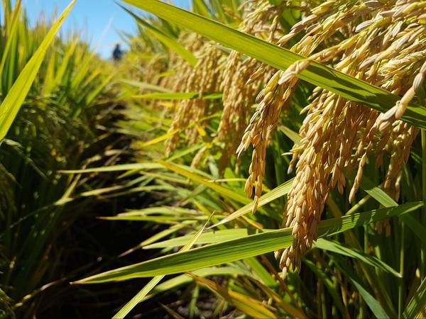
Remote Sensing as an Effective Solution for the Development of the Rice Sector in Uruguay
Recent challenges in the rice sector have generated a need for new monitoring technologies, providing truthful and precise information in each region and season. For that reason, Oryzativa has integrated Planet images into their satellite monitoring platform for the rice sector.

Sensoramiento Remoto Como Solución Efectiva Para el Desarrollo del Sector Arrocero en Uruguay
Es así como la incursión de nuevas tecnologías de monitoreo hacen parte de la solución al proporcionar informaciones válidas y precisas, en cada región y zafra. Es el caso de las imágenes satelitales de Planet que son usadas como insumo de la plataforma de monitoreo satelital del sector arrocero Oryzativa.

Sensoriamento Remoto Como Solução Eficaz Para o Desenvolvimento do Setor de Arroz No Uruguai
É assim que a incursão de novas tecnologias de monitoramento faz parte da solução ao fornecer informações válidas e precisas, em cada região e safra. É o caso das imagens do satélite Planet que são utilizadas como entrada para a plataforma de monitoramento por satélite do setor de arroz Oryzativa.
PlanetScope Data Leveraged to Map and Monitor the Forests of the Czech Republic
The Forest Management Institute (FMI) is the government organization uses Planet data to document and analyze the devastating impacts of the bark beetle epidemic on Czech forests.
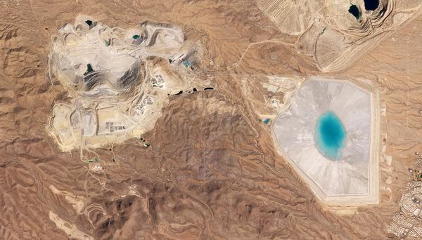
Planet's Data Supports Safe and Sustainable Mining Management
Freeport-McMoRan Inc. (FCX) is an international mining company that operates large copper, gold and molybdenum mines. In an effort to support its stated commitment to safety performance, environmental management, and local communities, FCX is using Planet data to monitor and maintain its operations.
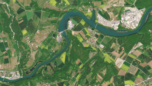
Monitoring River Flushing and Hydropower From Space
EOMAP is an environmental services company using Planet satellite imagery to offer daily monitoring of water body changes during flushing events.
The Observatory of Extractive Industries (OIE) Shines a Light on the Mining Industry Using Planet’s Satellite Data
Observatorio de Industrias Extractivas, or the Observatory of Extractive Industries (OIE) is a research platform dedicated to providing data on mining companies and other extractive industries in Guatemala. To shed light on the mining industry, OIE uses Planet satellite imagery to monitor Guatemalan mines over time.
Planet’s Data Helps Amnesty International Tackle Deforestation In Cambodia
In the ancient forests of Cambodia, Amnesty International relies on Planet satellite data to help fulfill its mission of ending human rights abuses worldwide.
How UNICAMP, One of the Top Universities in Latin America is Using Satellite Imagery to Monitor Integrated Crop–Livestock Systems in Brazil
Researchers from the University of Campinas (UNICAMP) and Embrapa Digital Agriculture explored the potential of using spectral and textural information derived from PlanetScope imagery and machine learning algorithms to create models that achieved moderately high accuracy to predict pasture aboveground biomass and canopy height, explaining 65% and 89% of the variability of these variables, respectively.
© 2026 Planet Labs PBC. All rights reserved.
| Privacy Policy | California Privacy Notice |California Do Not Sell
Your Privacy Choices | Cookie Notice | Terms of Use | Sitemap
