Search
PLANET ORBIT PARTNER ECOSYSTEM
Planet Orbit is our trusted partner ecosystem, where we connect our customers with the right experts. Our worldwide network of partners build solutions for a variety of industries and accelerate value from Planet data and insights.
Partner Ecosystem
Planet partners have deep expertise in building last-mile solutions using satellite imagery. Learn about our partners to gain real-time insights from Planet data and drive value for your business.
FIND A PARTNERWhat is Planet Orbit?
We carefully select partners with experience using Planet data, who demonstrate strong capabilities to develop innovative solutions. Learn more about the Planet Orbit program and accelerate your business with unparalleled access and support.
LEARN MOREPartner
Resources
Planet Orbit partners gain an edge with partner-dedicated Planet University modules. Access training, sales and marketing resources, and learn how to get provisioned to register deals on our Partner Portal.
LEARN MOREPartner News & Success
Scaling Wetland Protection Amidst Regulatory Uncertainty
By connecting advanced machine learning with Planet near-daily satellite imagery, Skytec’s GeoAI wetlands monitoring solution empowers state agencies, landowners, and developers to move from scouting to targeted enforcement.
Enhancing Forest and Carbon Market Accuracy With Locally Grounded Forest Carbon
Tesera is introducing a new offering derived from the Forest Carbon dataset, one of the Planetary Variables from Planet, called Locally Grounded Forest Carbon (LGFC).
Unlock the Full Time-Series Power of SkySat, No Contract Required
Planet Select, which allows customers to license imagery on demand, now offers both SkySat Tasking and the full SkySat Archive in one place.
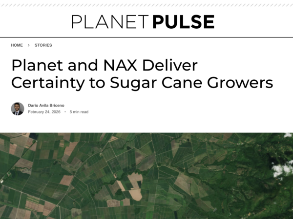
Planet and NAX Deliver Certainty to Sugar Cane Growers
By combining its proprietary AI models with Planet near-daily PlanetScope© imagery, NAX gives sugar cane producers timely, field-level intelligence that connects strategic decisions with field operations.
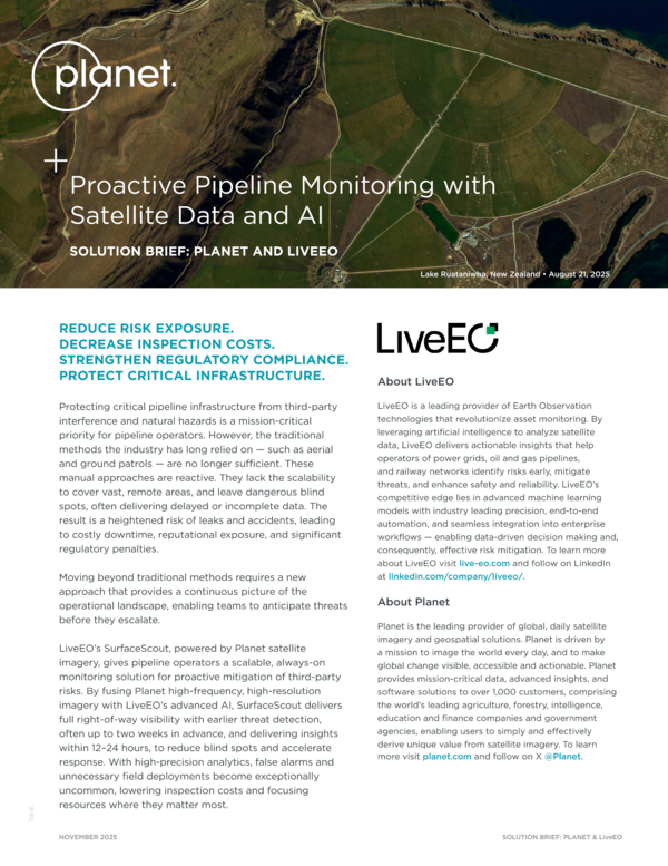
Proactive Pipeline Monitoring with Satellite Data and AI
LiveEO’s SurfaceScout, powered by Planet satellite imagery, gives pipeline operators a scalable, always-on monitoring solution for proactive mitigation of third-party risks.
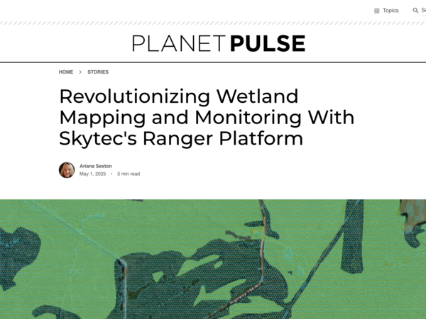
Revolutionizing Wetland Mapping and Monitoring With Skytec's Ranger Platform
Learn about Skytec Ranger, a cutting-edge geospatial AI application that leverages Planet high-temporal satellite imagery to map and monitor land changes efficiently.
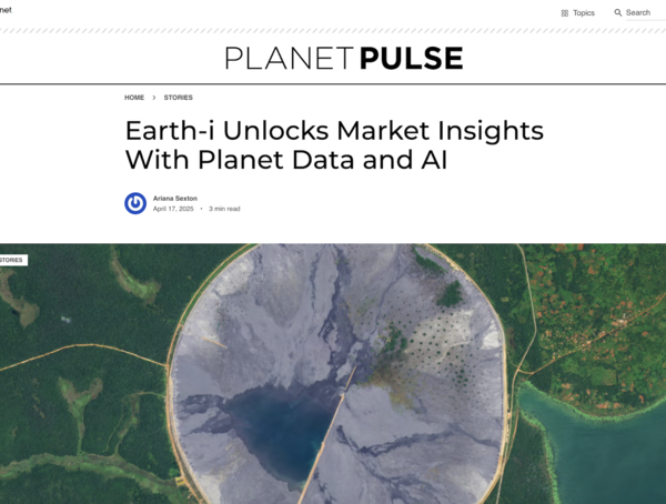
Earth-i Unlocks Market Insights With Planet Data and AI
Earth-i specializes in using Planet near-daily satellite imagery to provide actionable intelligence for clients in commodities, finance, and government sectors.
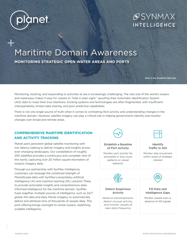
Maritime Domain Awareness
Our partnership with SynMax Intelligence leverages the combined strength of PlanetScope data with SynMax’s proprietary artificial intelligence (AI) and machine learning (ML) solution Theia, to provide actionable insights for the maritime domain.
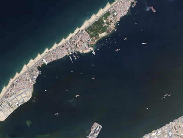
SynMax Intelligence Enhances Maritime Domain Awareness With Daily Satellite Imagery, Expert Analysis, and Advanced AI Models
Theia, SynMax’s maritime domain awareness solution, which combines artificial intelligence (AI), Planet’s high-cadence satellite imagery, and expert analysis to deliver real-time insights and actionable intelligence.
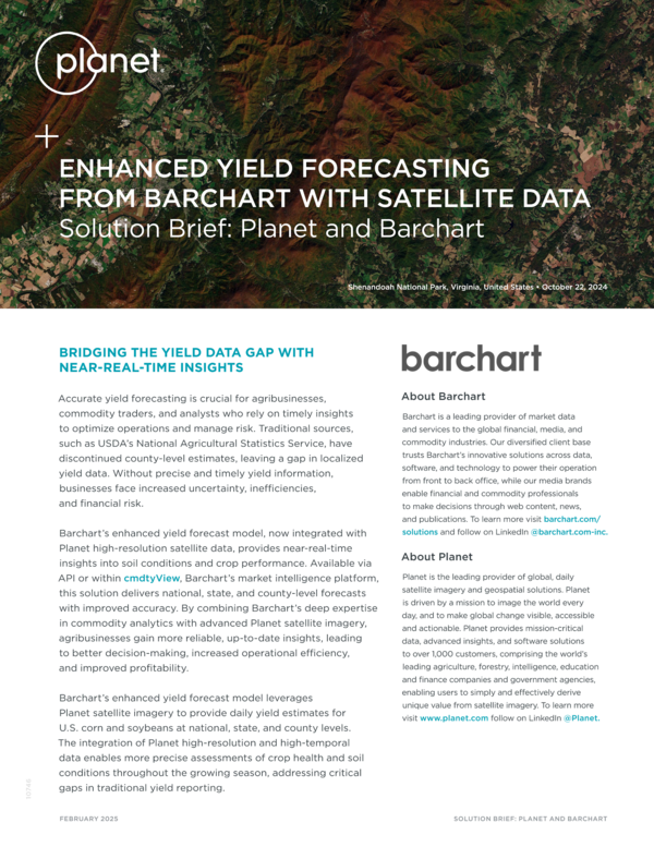
Enhanced Yield Forecasting From Barchart With Satellite Data
Barchart’s enhanced yield forecast model, now integrated with Planet high-resolution satellite data, provides near-real-time insights into soil conditions and crop performance.
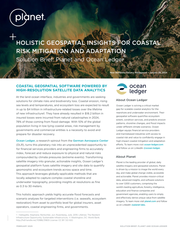
Holistic Geospatial Insights for Coastal Risk Mitigation and Adaptation
Ocean Ledger’s platform processes high-resolution, near-daily Planet data to model and monitor coastal risk and natural capital indicators.
High-Resolution Inventory Solution (HRIS)
Tesera’s HRIS combines advanced machine learning, automated analytics, and timely PlanetScope data to provide a comprehensive and accurate view of forest landscape and tree inventories.
Partner Testimonial: PSAI
Michael Kelly, Director of Operations at PSAI, describes how they impact meaningful change in national security using Planet remote sensing data.
PSAI: Transforming Global Monitoring With Planet Data
PSAI is at the forefront of this transformation, leveraging advanced artificial intelligence (AI) and Planet imagery to provide real-time insights that drive meaningful change in national security, human rights, and environmental conservation.
Partner Testimonial: AllSource Analytics
Renny Babiarz, Vice President of Analysis and Operations at AllSource Analytics, shares how they use Planet data to help customers track and understand change.
AllSource Analysis Transforms Planet Data Into Actionable Intelligence for Governments and Enterprises
A Planet partner for over a decade, AllSource Analysis relies extensively on Planet imagery to inform decisions affecting infrastructure, resources, and lives.
Partner Testimonial: Impact Observatory
Steve Brumby, CEO of Impact Observatory, shares how they use Planet data to support their customers in federal, state, and local government understand and confirm the changes that really matter.

Impact Observatory Leverages Planet Data and AI to Deliver Insights to U.S. Local and National Government
Planet partner Impact Observatory has developed AI-powered geospatial monitoring tools that help decision-makers understand risks and anticipate changes at unprecedented speed and scale.

Partner Testimonial: Hala Systems
Alexander Lee, Director of Activity-Based Intelligence for Hala Systems, shares how they use Planet data to reduce risk for people living in dangerous areas.
Hala Systems and Planet: A Partnership for Civilian Protection
Hala Systems, with the support of Planet imagery, is creating a resilient, data-informed future for civilian protection in conflict zones.
Partner Testimonial: NEO
Henk Janssen from Netherlands Geomatics & Earth Observation (NEO) discusses the benefits of using Planet data instead or in addition to Sentinel 2 data.
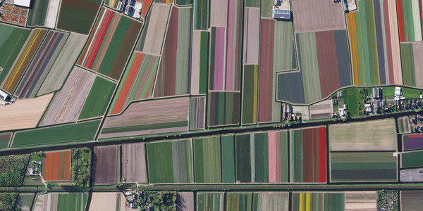
NEO and Planet: Revolutionizing Agricultural Monitoring in the EU
NEO, a leading provider of information services for continuous monitoring of geo-objects, has been at the forefront of agricultural monitoring for over 25 years. And with Planet Insights Platform, they have significantly enhanced their monitoring capabilities.
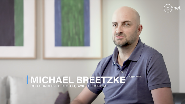
Partner Testimonial: Swift Geospatial
Michale Breetzke, Co-founder and Director of Swift Geospatial, discusses how they leverage their Planet partnership to bring value to their customers in agriculture, forestry, mining.

Swift Geospatial and Planet: A Partnership for Transforming Geospatial Data into Knowledge
Swift Geospatial, a GIS and remote sensing company, leverages near-daily Planet imagery to create proprietary dashboards that enable efficient and sustainable solutions.

Abelio Leading the Transition to Sustainable Agriculture with Planet Insights Platform
Abelio, a leader in precision agriculture in France, has developed a crop monitoring solution that leverages data from various reliable sources, including PlanetScope imagery, to empower farmers, cooperatives, and agricultural distributors.
Planet and Bayer: Shaping the Future of Farming From Space
In pursuit of its mission - health for all, hunger for none - Bayer leverages Planet imagery and analysis-ready data products to optimize product supply at a global scale.
Detecting And Eradicating Invasive Grass Affecting Pasture And Ranch Land
Learn about RangeView, a digital platform for the range and pasture industry using satellite imagery and planning tools to help ranchers assess pastures with the most infestation of annual invasive grasses and evaluate the return on investment for treating them.
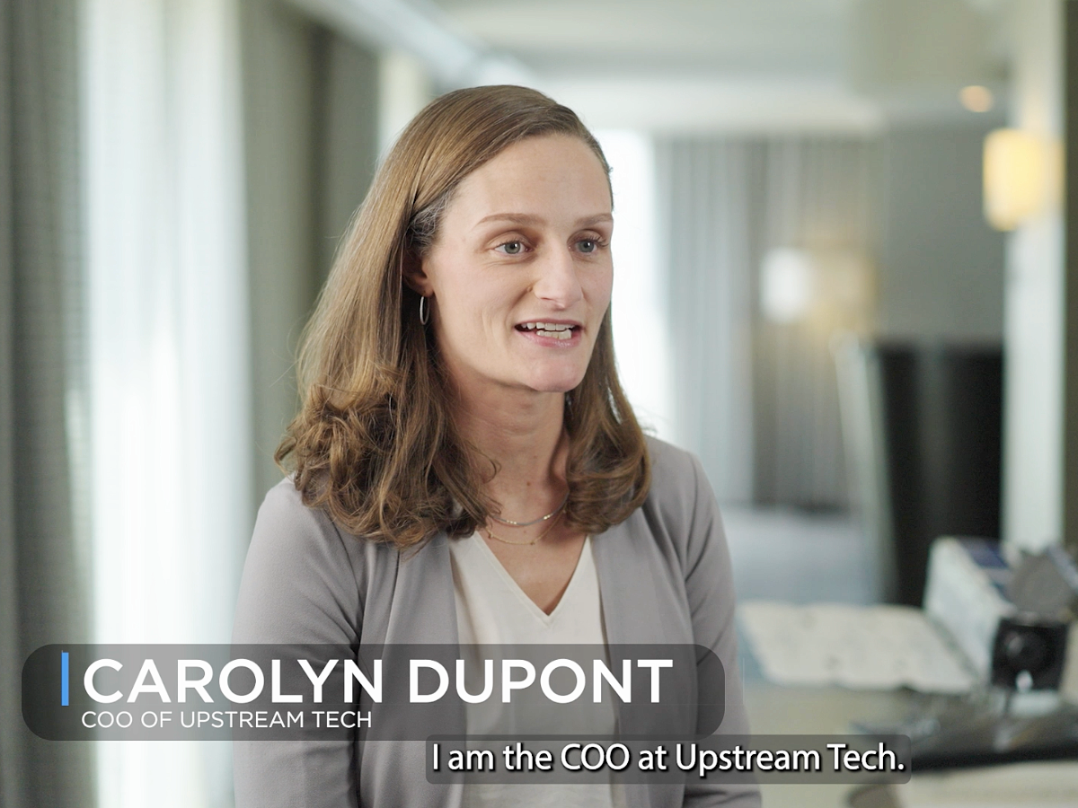
Partner Testimonial: Upstream Tech
Carolyn duPont, COO of Upstream Tech, shares how Planet data is used in Upstream Tech's Lens platform. She discusses how to monitor protected lands globally and track illegal behavior.
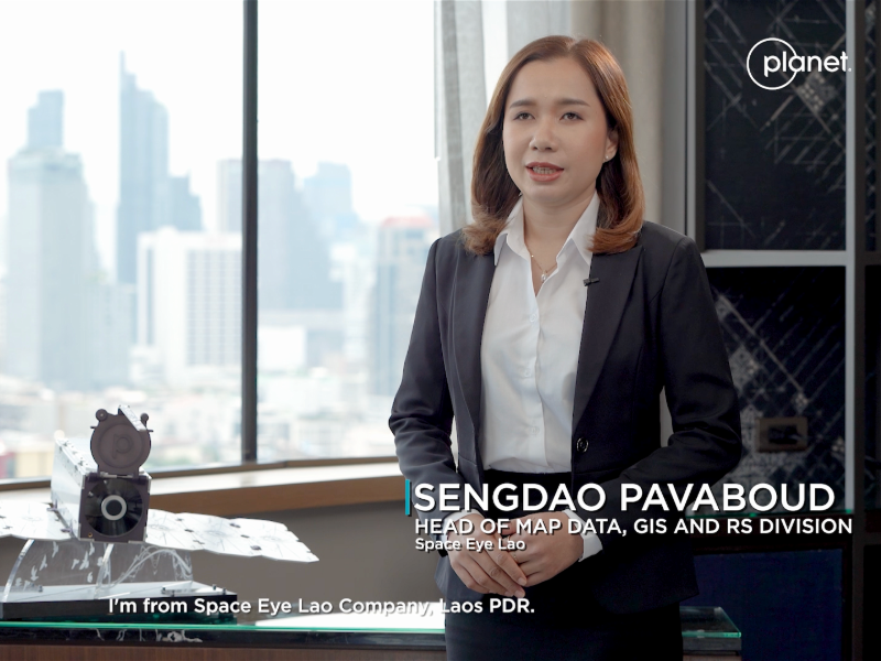
Partner Testimonial: Space Eye Lao
Sengdoa Pavaboud, Head of Map Data, GIS and RS Division for Space Eye Lao, spoke to Planet about their innovative work in Southeast Asia to support mapping and analysis needs across the private and public sectors.
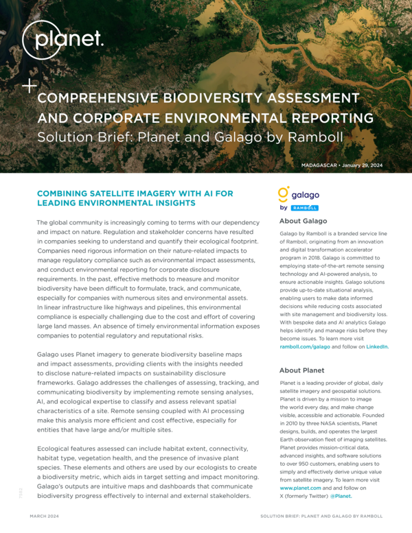
Comprehensive Biodiversity Assessment and Corporate Environmental Reporting
Galago uses Planet imagery to generate biodiversity baseline maps and impact assessments, providing clients with the insights needed to disclose nature-related impacts on sustainability disclosure frameworks.
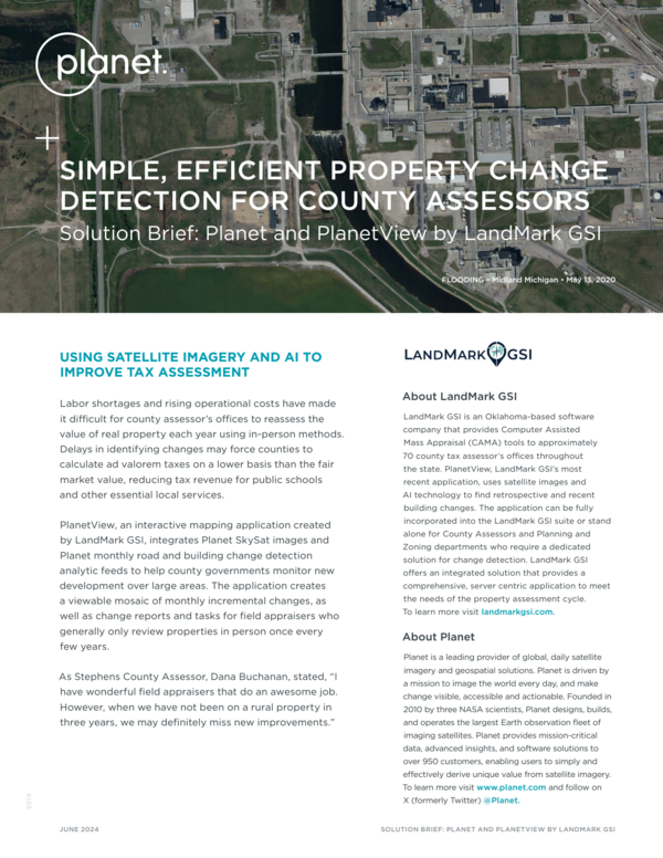
Simple, Efficient Property Change Detection for County Assessors
PlanetView, an interactive mapping application created by LandMark GSI, integrates Planet SkySat images and Planet monthly road and building change detection analytic feeds to help county governments monitor new development over large areas.
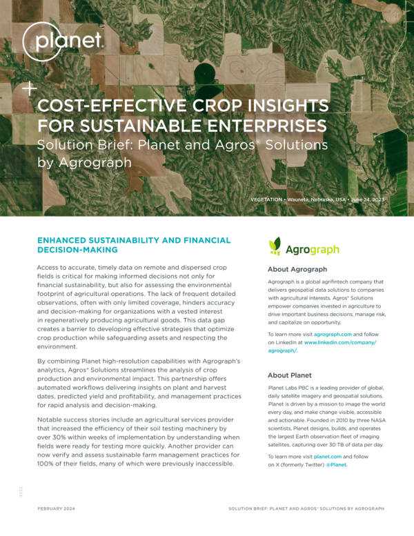
Cost-Effective Crop Insights for Sustainable Enterprises
By combining Planet high-resolution capabilities with Agrograph’s analytics, Agros® Solutions streamlines the analysis of crop production and environmental impact.
Reliable, Continuous, Flood Monitoring Anywhere on Earth
Floodbase fuses satellite imagery with additional data sources to continuously monitor and capture peak flooding anywhere on Earth in near real time.
Earth Observation and Analysis for ESG Reporting
Planet and ERM have partnered to accelerate transparency and implementation of data driven decisions to support ESG strategy and disclosures.
PlanetScope Now On Google Cloud Marketplace: Elevate Your Earth Monitoring Experience
PlanetScope, our flagship satellite imaging product, is now available on Google Cloud Marketplace. If you are a Google Cloud customer, accessing the power of PlanetScope has never been more efficient.
Accelerating Biodiversity and Ecosystem Reporting
This paper explores the techniques and tools companies can use to support reporting in line with the voluntary Taskforce on Nature-based Financial Disclosures (TNFD) and the mandatory EU Corporate Sustainability Reporting Directive (CSRD).
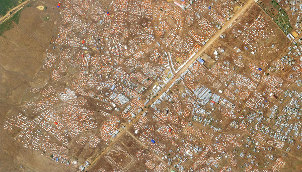
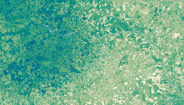
Enabling Data-Driven Decisions With AI-Powered Land Cover Maps
Impact Observatory’s AI-powered land cover change monitoring using PlanetScope satellite imagery enables you to maintain a clear and up-to-date understanding of any place on Earth to detect patterns of change and enable data-driven decision-making.
Queryable Earth: Combining Satellite Imagery and Next-gen AI
In 2018 Planet co-founder and CEO Will Marshall asked the audience during his TED talk: what if you could search the surface of the Earth the same way you search the internet? Planet and its partners have been making progress on this ever since: high-altitude balloon tracking, building damage classification to aid disaster response, mapping utility-scale wind and solar power across the globe, and more.
ERM and Planet Partner to Accelerate Nature-Based Solutions and Measure Biodiversity
By linking the Planet satellite imagery with expert analysis from ERM, our data is brought to life for decision-makers and translated into information to address business’ operational and sustainability goals.
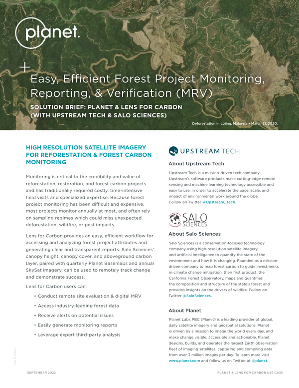
Easy, Efficient Forest Project Monitoring, Reporting, & Verification (MRV)
Forest project monitoring is often difficult and expensive. Learn how Planet and Lens for Carbon provide an efficient workflow for accessing and analyzing forest project attributes and generating transparent reports.
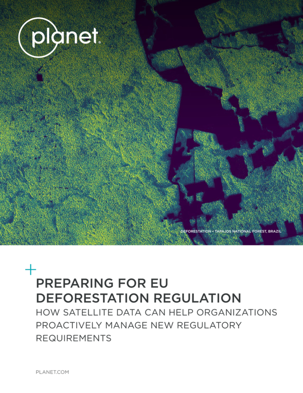
Preparing for EU Deforestation Regulation
This white paper outlines how Planet satellite data can help organizations proactively manage new regulatory requirements.
Advancing Regenerative Agriculture with Skytec’s Ranger and Limestone Valley RC&D
Planet | Advancing Regenerative Agriculture with Skytec’s Ranger and Limestone Valley RC&D
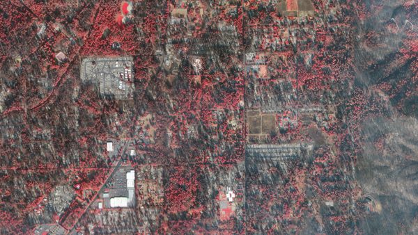
Satellites Enable Disaster Management For Unprecedented Australian Floods
Our partner NGIS was able to leverage Planet data to respond to “once in a century flooding” which stranded communities and forced mass evacuations.
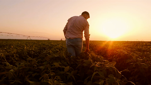
Verdi Uses Planet Data to Help Farmers Save 7 Million Liters of Water While Improving Crop Quality and Yield
Verdi, a leading agtech firm, leverages Planet data to augment and automate legacy irrigation infrastructure - allowing farmers to radically improve productivity and reduce water risk.
Planet Satellites Help SynMax Usher in a New Transparent Energy Economy
SynMax, a satellite data analytics company specializing in the use of commercial satellite images to find and monitor oil and gas assets and provide maritime intelligence data, has a solution that will guide energy traders.
Planet-led RapidAI4EO Consortium Releases One of the Largest Earth Observation Training Datasets for Machine Learning Applications
The RapidAI4EO consortium, led by Planet, released training datasets to date of satellite imagery suited for diverse research applications in the machine learning domain.
How Pasture.io Uses Planet Satellite Imagery to Transform Pasture Management
Using Planet’s API, Pasture.io leverages PlanetScope 8-band satellite data and machine learning models to identify a pasture’s biomass, growth rates, and other essential metrics.
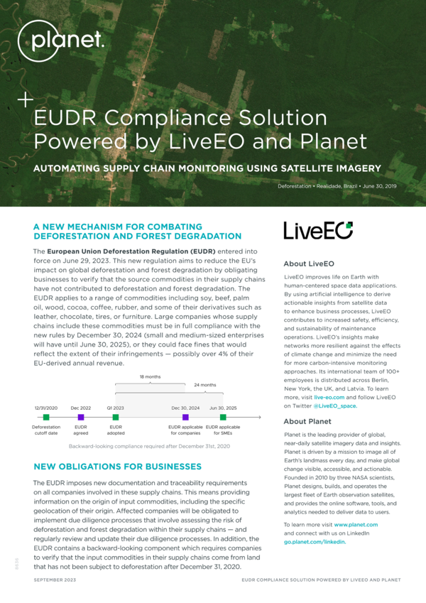
Automating Supply Chain Monitoring Using Satellite Imagery
LiveEO’s AI-powered EUDR Compliance solution leverages Planet data to help business trace sourced commodities to the exact geolocation of their production and receive verifiable evidence of the deforestation status of each of their suppliers.

Partner Testimonial: Synthetaic
Corey Jaskolski, President and CEO of Synthetaic, shares how their artificial intelligence (AI) software leverages Planet global data to draw insights across time.
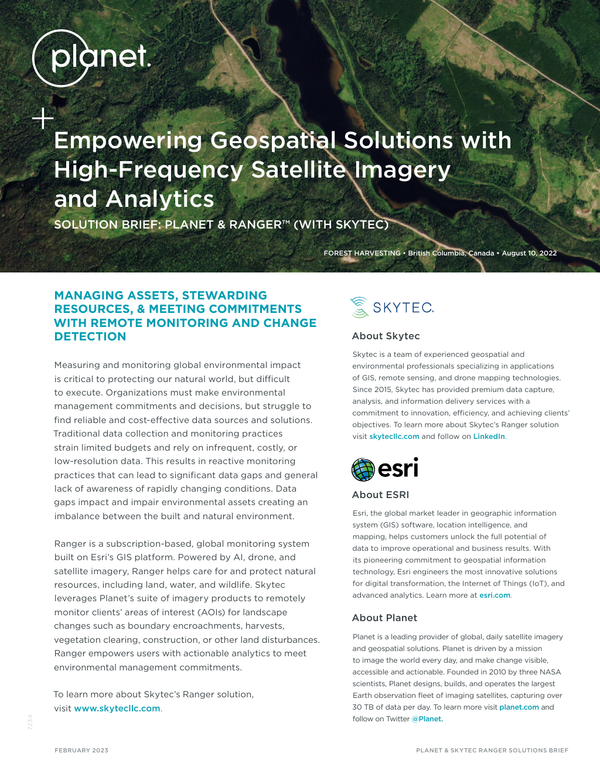
Solution Brief: Planet & Ranger™ (with Skytec)
This is a solution brief about Planet's partner Skytec & their solution, Ranger™. Skytec leverages Planet’s suite of imagery products to remotely monitor clients’ areas of interest (AOIs) for landscape changes such as boundary encroachments, harvests, vegetation clearing, construction, or other land disturbances. Skytec's product, Ranger, empowers users with actionable analytics to meet environmental management commitments.
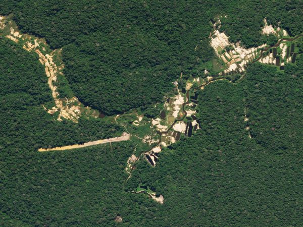
Geospatial Technology Helps in the Fight Against Environmental Crimes in Brazil
The size and complexity of the Brazilian territory, especially in the Amazon region, has historically plagued institutions, like the country's Federal Police, with challenges around effective response to environmental crimes and illicit activities. To improve their operations, these agencies needed a remote sensing dataset that would complement their field work, allowing them to take timely action around environmental degradation in the region like illegal mining and deforestation, drug trafficking, and unauthorized fires.
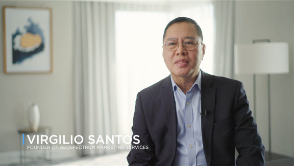
Partner Testimonial: Geospectrum Marketing Services
Virgilio Santos, Founder and General Manager of Geospectrum Marketing Services, shares how Planet data is used help decision makers when natural disasters or changes in the environment occur.
Planet and Preligens Partner to Achieve Near-Persistent Monitoring for Defense & Intelligence Analysts
Our partner Preligens will leverage Planet’s satellite data to enhance a unique monitoring solution for the defense and intelligence sector.
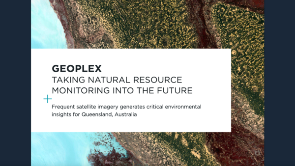
Taking Natural Resource Monitoring Into the Future
With a vast 1.8 million square kilometers of farmland, forest, coral reefs, and other resources to manage, the Department of Natural Resources and Mines (DNRM) in Queensland, Australia relies on Planet satellite imagery as a critical source of information.
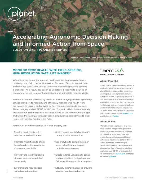
Accelerating Agronomic Decision Making and Informed Action From Space: Planet and FarmQA
FarmQA’s solution, powered by Planet satellite imagery, enables agronomy service providers to regularly and efficiently monitor crop health from pre-season to harvest and provide better recommendations to growers.

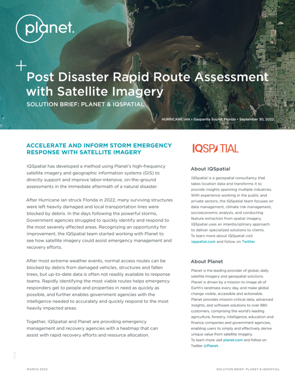
Post Disaster Rapid Route Assessment with Satellite Imagery
Solution Brief with Planet & IQSPATIAL - IQSpatial has developed a method using Planet’s high-frequency satellite imagery and geographic information systems (GIS) to directly support and improve labor-intensive, on-the-ground assessments in the immediate aftermath of a natural disaster
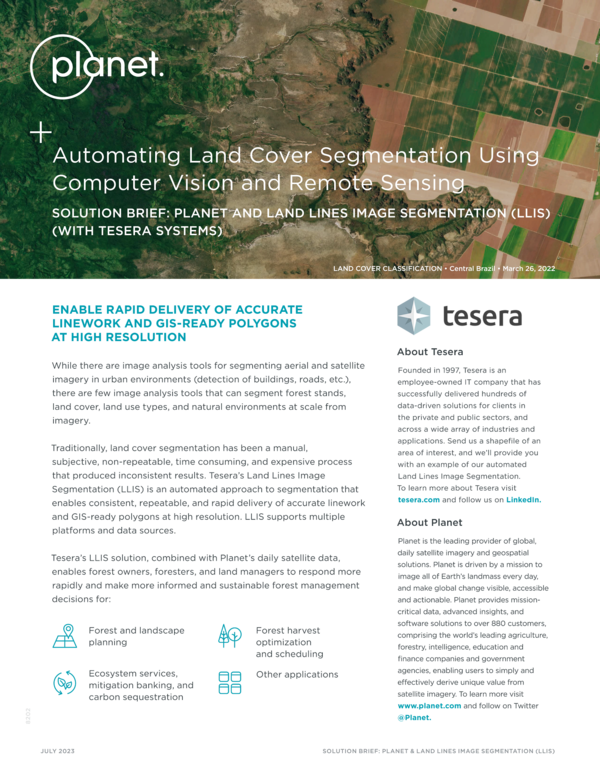
Automating Land Cover Segmentation Using Computer Vision and Remote Sensing
Tesera’s Land Lines Image Segmentation (LLIS) is an automated approach to segmentation that enables consistent, repeatable, and rapid delivery of accurate linework and GIS-ready polygons at high resolution.
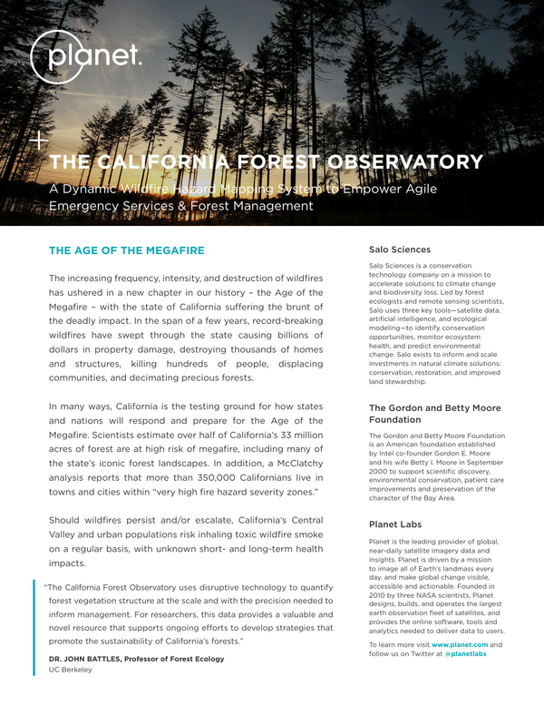
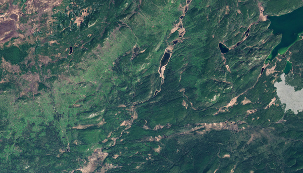
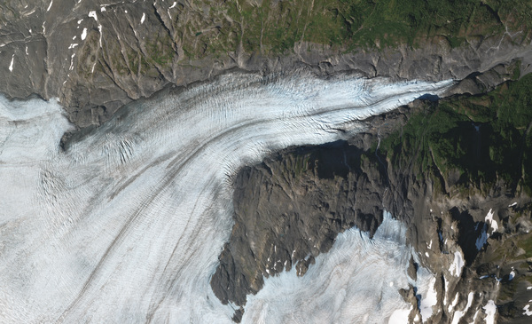
The California Forest Observatory Case Study
Pioneered by Salo Sciences, Planet, and the Gordon and Betty Moore Foundation, the California Forest Observatory is a data-driven forest monitoring system that maps drivers of wildfire behavior across the state - including vegetation fuels, weather, topography, and infrastructure.
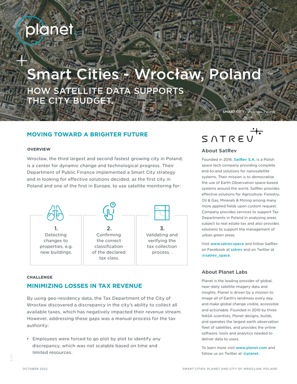
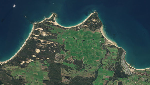
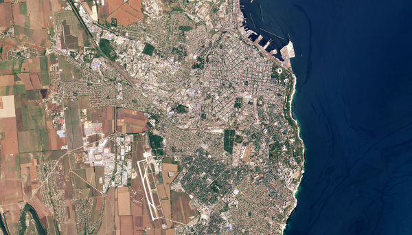
Smart Cities - Wrocław, Poland How Satellite Data Supports the City Budget
The Department of Public Finance in Wrocław, Poland, uses Planet satellite imagery to monitor changes to urban infrastructure that have implications for tax revenue.
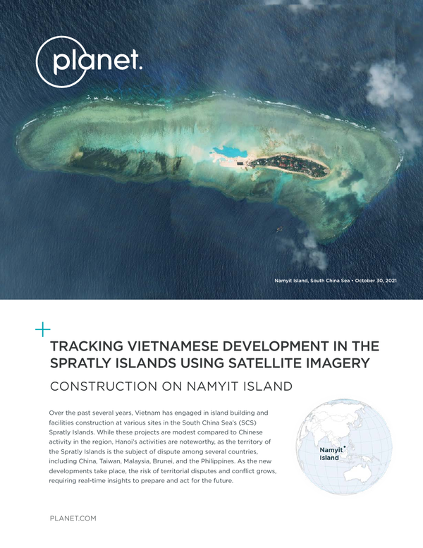
Planet Spratly Island Case Study
The territory of the Spratly Islands is the subject of dispute among several countries, including China, Taiwan, Malaysia, Brunei, and the Philippines. As the new developments take place, the risk of territorial disputes and conflict grows, requiring real-time insights to prepare and act for the future.
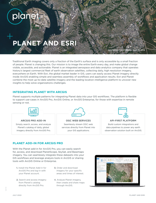
Planet and Esri
Esri and Planet combine the most up-to-date satellite imagery and the leading location intelligence platform to uncover new insights to help solve organizations challenges.
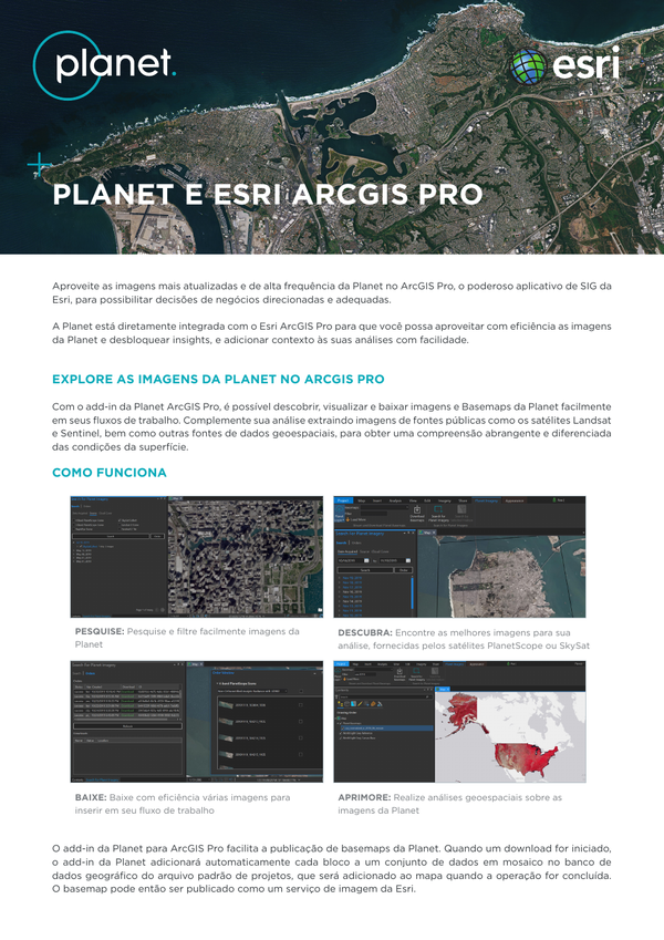
PLANET E ESRI ARCGIS PRO
Aproveite as imagens mais atualizadas e de alta frequência da Planet no ArcGIS Pro, o poderoso aplicativo de SIG da Esri, para possibilitar decisões de negócios direcionadas e adequadas.
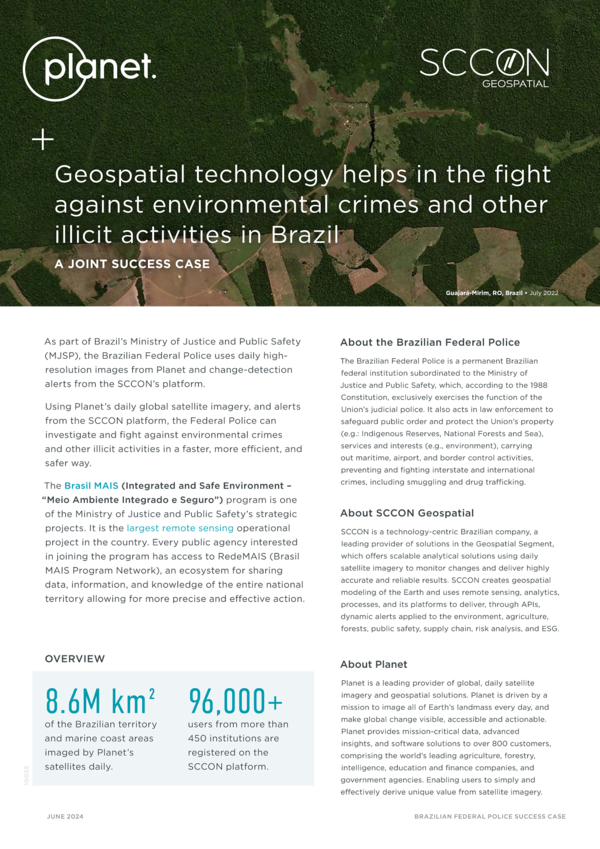
Geospatial Technology Helps in the Fight Against Environmental Crimes in Brazil
With the application of Planet's satellite data and SCCON's change detection alerts, the Brazilian Federal Police has made great strides in preventing illicit activities in one of the most remote regions of the world.
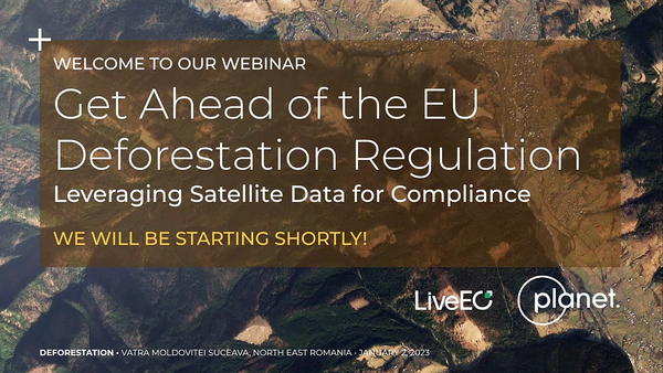
Get Ahead of the EU Deforestation Regulation
In this webinar you will learn about the new groundbreaking EUDR Compliance Solution created by LiveEO and powered by Planet near-daily satellite imagery.
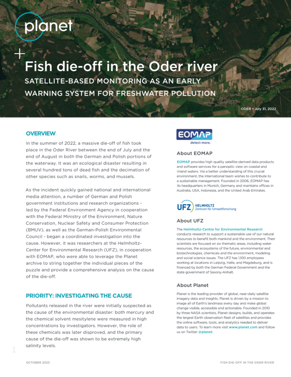
Fish Die-Off in the Oder River
Planet, together with our partner EOMAP, present a use case of how satellite monitoring can help to prevent water pollution, following a massive fish killing accident in the Oder river in summer 2022.
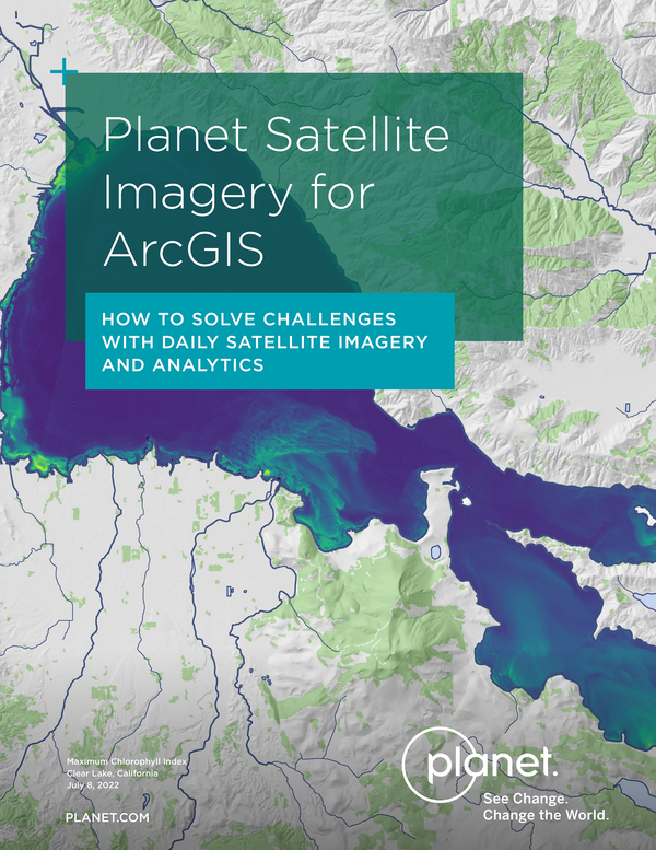
Planet Satellite Imagery for ArcGIS
Learn how Planet and ArcGIS integrations help organizations enhance GIS workflows and maximize monitoring activities.
Streaming Daily Imagery From Sentinel Hub Into ArcGIS
How to customize and stream Planet imagery directly into your GIS software without ever having to download a single image.
One More Way AI Can Help Us Harness One Of The Most Underutilized Datasets In The World
How we tracked the Chinese balloon in satellite data
Planet Partners Enable Sustainable Agriculture in Europe
Planet | Planet Partners Enable Sustainable Agriculture in Europe
PlanetScape Ai and Planet’s Professional Services Team Scale the Fight for Human Rights
PlanetScape Ai works with governments and international organizations to support human rights worldwide. They use PlanetScope data and proprietary algorithms to run large, custom, satellite-based monitoring programs.
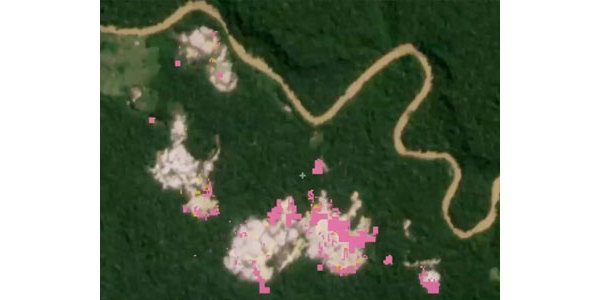
Combating Illegal Gold Mining in the Amazon
The sheer size and diversity of the Amazon presents real challenges for effective conservation. New and emerging technologies can help scale efforts to protect biodiversity and forest resources in unprecedented ways. Learn how the Amazon Conservation uses high-resolution and high-frequency Planet data to detect illegal gold mining in the Peruvian Amazon.
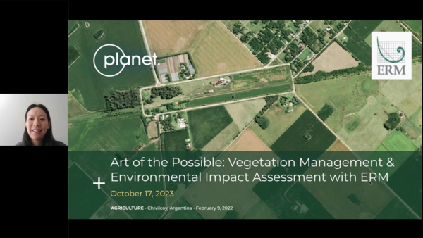
Art of the Possible: Vegetation Management & Environmental Impact Assessment With ERM
This webinar explores the ways that Planet, and our partner ERM, bring customers actionable insights focused on natural resource management, specifically vegetation management and environmental impact assessment use cases.
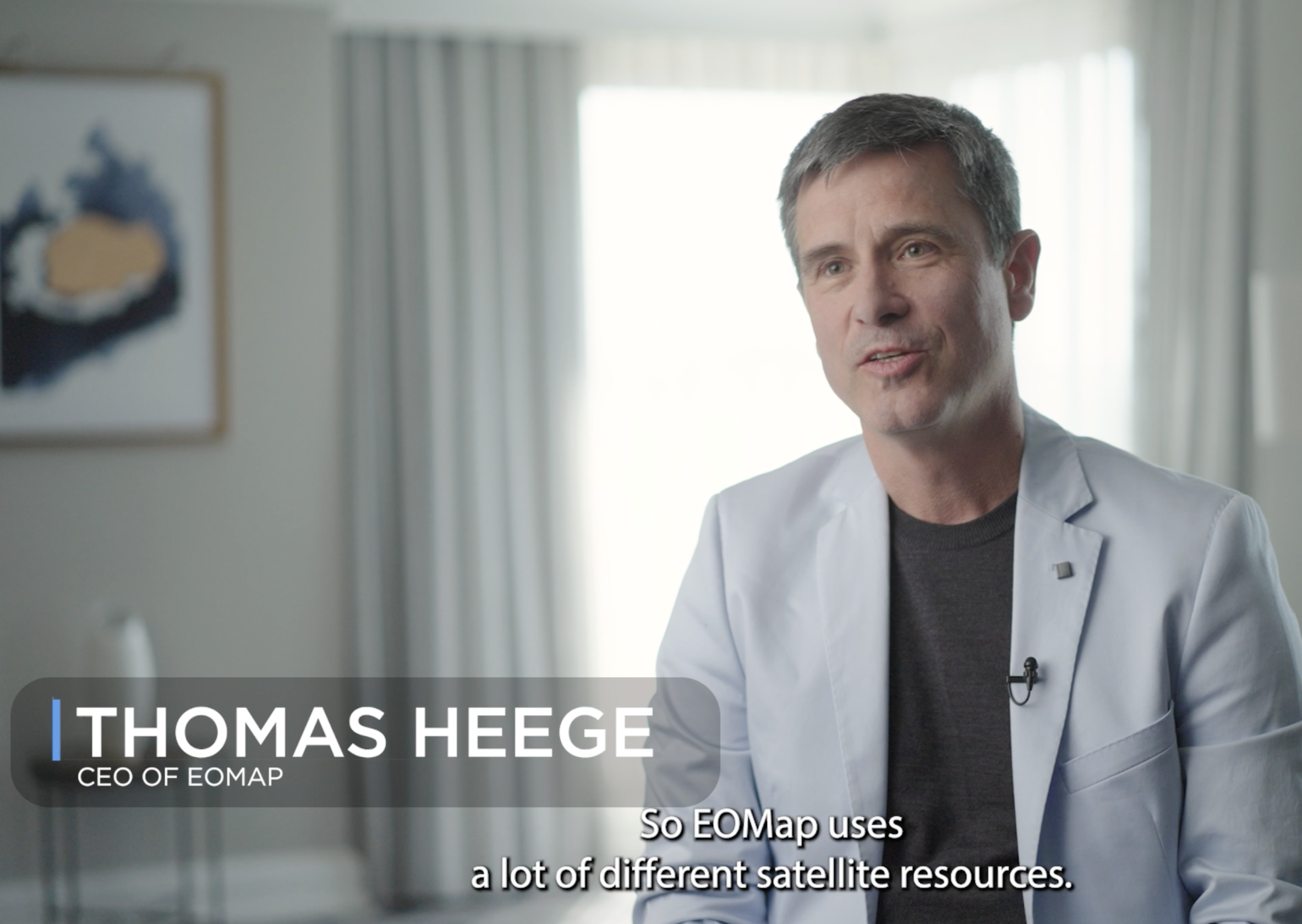
Partner Testimonial: EOMap
Dr. Thomas Heege, Managing Director of EOMAP, shares how Planet data is used to monitor water quality globally. He discusses use cases involving harmful algae blooms, coastal zones, and wetland ecosystems.
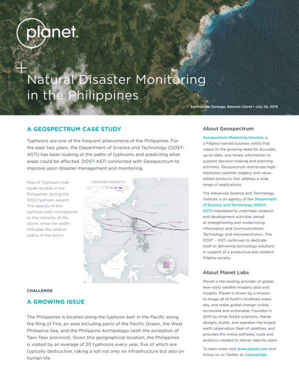
Natural Disaster Monitoring in the Philippines
The Phillipeans has a long history of natural disasters - from tsunamis and landslides to earthquakes. Planet imagery allows their Department of Science and Technology (DOST-ASTI) to better prepare for and respond to these events.
How Upstream Tech’s Lens Platform and Planet Imagery Help One Tree Planted Visualize the Future of Global Reforestation
One Tree Planted uses Upstream Tech’s Lens platform to make Planet imagery easy for users to interact with — and cost-effective.
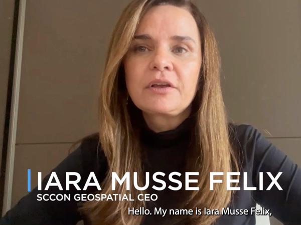
Partner Testimonial: SCCON Geospatial
Iara Musse Felix, CEO of SCCON Geospatial, shares how they leverage various Planet products within their platform to help customers track and quantify a range of activity, from biodiversity loss and natural disasters to deforestation.
Planet Partners With SynMax To Provide Energy Intelligence And Monitor Dark Vessels
In collaboration with SynMax, Houston-based satellite analytics and intelligence company, Planet data is now being used to provide data-informed insights on the energy industry within the United States and monitor the movements of dark vessels around the globe.
AXA Climate Leverages Planetary Variables for Drought Insurance Through Extended Strategic Partnership
Drought acts as a major threat to global agriculture, but with our Planetary Variables data feeds, we are seeing our customers and partners create drought insurance programs to mitigate risk and support farmers in critical situations.
Planet Data Enables Climate Transparency Through New Partnership With Climate TRACE
Planet has partnered with Climate TRACE, a coalition of climate-focused NGOs, technology companies, and universities, supported by former Vice President Al Gore, that use cutting-edge technologies to identify and track human-caused greenhouse gas (GHG) emissions with unprecedented detail and speed.
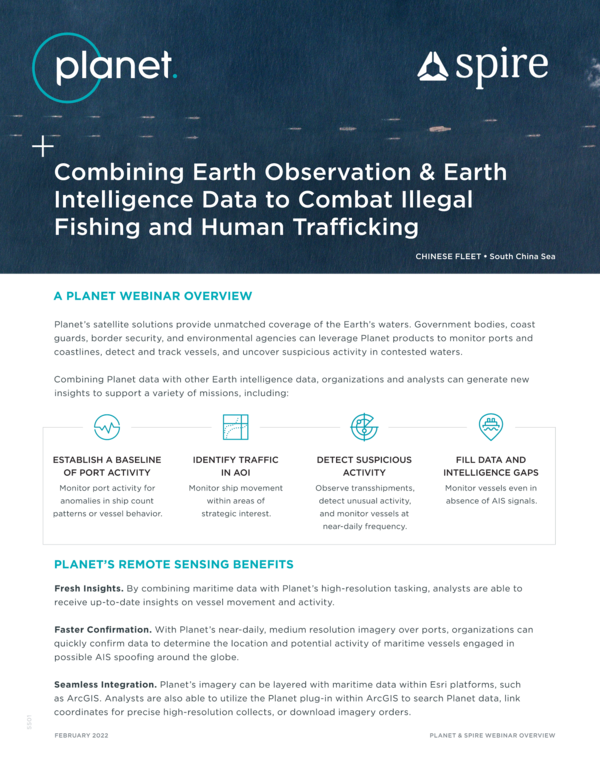
Combining Earth Observation & Earth Intelligence Data To Combat Illegal Fishing And Human Trafficking
Planet’s satellite solutions provide unmatched coverage of the Earth’s waters.
Post Disaster Rapid Route Assessment With Satellite Imagery
IQSpatial has developed a method using Planet’s high-frequency satellite imagery and geographic information systems (GIS) to directly support and improve labor-intensive, on-the-ground assessments in the immediate aftermath of a natural disaster.
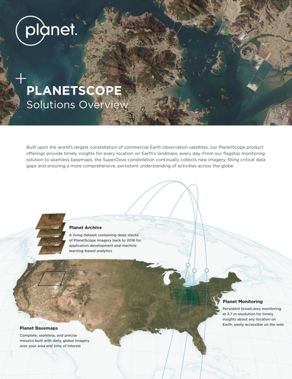
Planetscope Solutions Overview
Built upon the world's largest constellation of commercial Earth observation satellites, our PlanetScope product offerings provide timely insights for every location on Earth's landmass, every day.
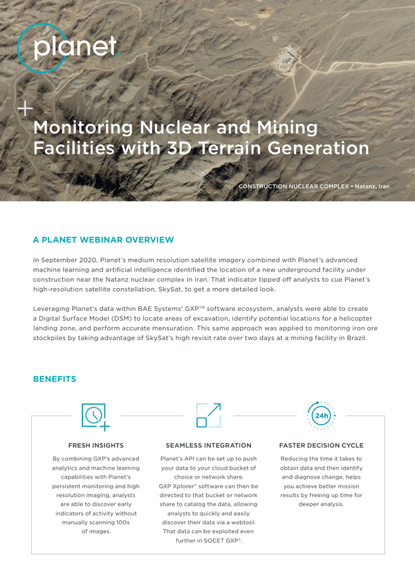
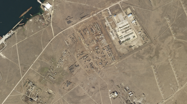
Overview: Monitoring Nuclear and Mining Facilities with 3D Terrain Generation
Leveraging Planet's data within BAE Systems' GXPTM software ecosystem, analysts were able to create a Digital Surface Model (DSM) to locate areas of excavation, identify potential locations for a helicopter landing zone, and perform accurate mensuration.
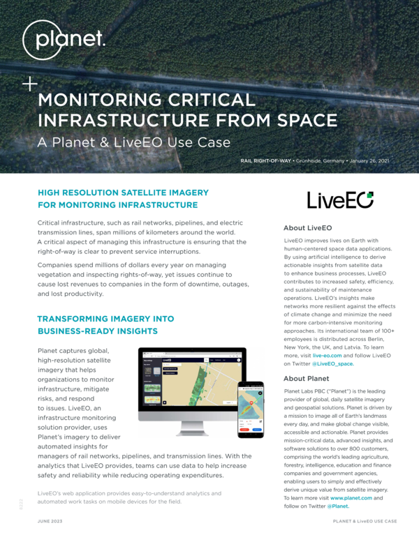
Monitoring Critical Infrastructure From Space: A Planet & LiveEO Use Case
Planet captures global, high-resolution satellite imagery that helps organizations to monitor infrastructure, mitigate risks, and respond to issues.
© 2026 Planet Labs PBC. All rights reserved.
| Privacy Policy | California Privacy Notice |California Do Not Sell
Your Privacy Choices | Cookie Notice | Terms of Use | Sitemap
