Search
Identify Market Signals With Satellite Data
Near-daily, global Planet data helps financial asset managers find alpha in clear sight.
Asset Managers Can Optimize ROI and Outperform the Market With Planet Insights
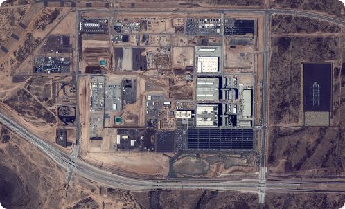
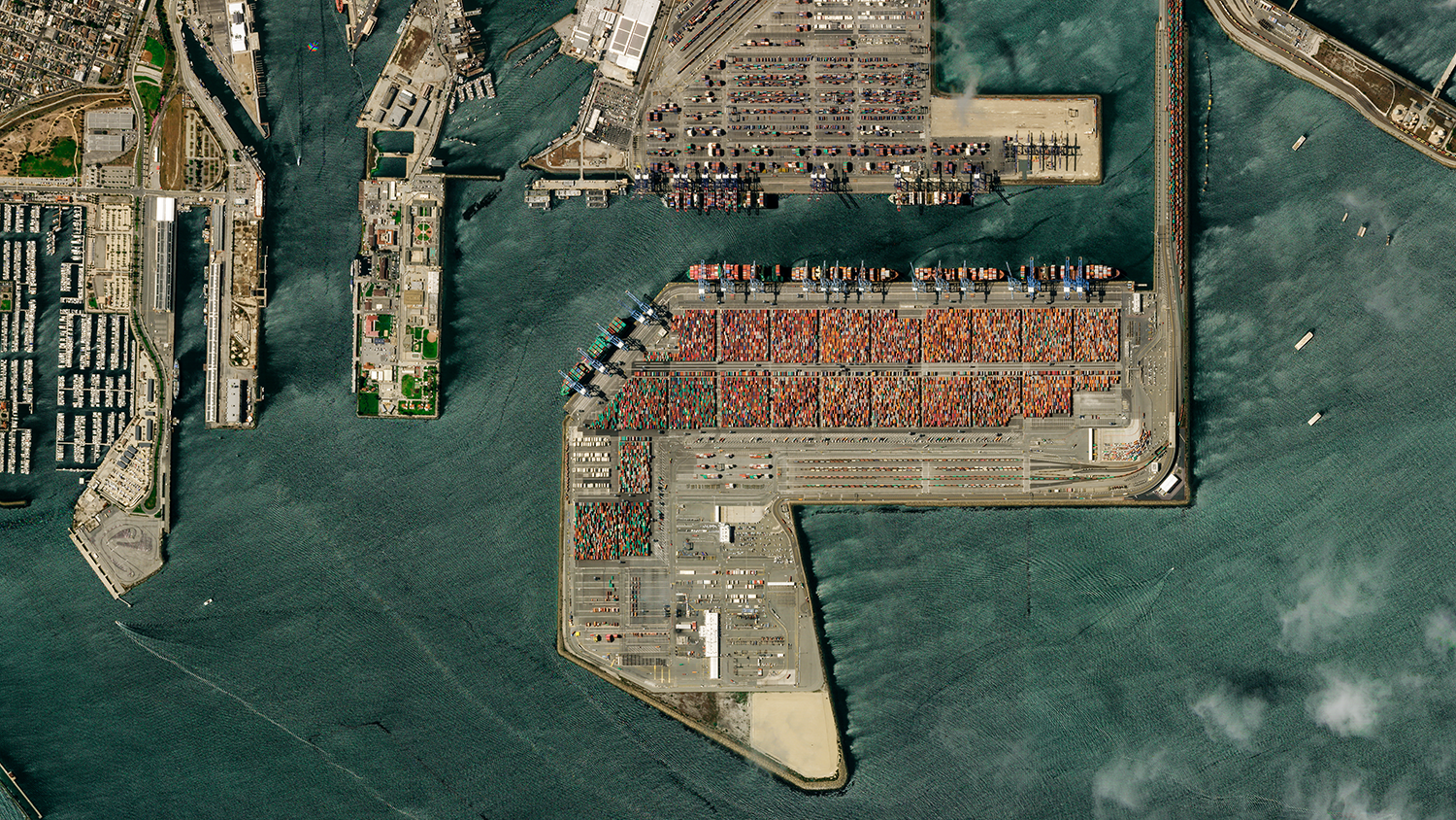
Monitor Assets to Identify Unique Information
Use near-daily data and archival imagery to gain unmatched awareness of change across ports, natural resource sites, commercial property, energy projects, and infrastructure — anywhere on Earth.
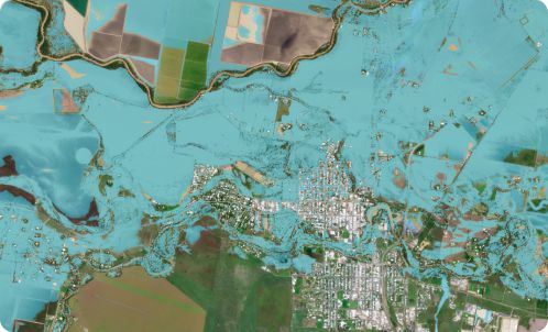
Assess the Impact of Catastrophic Events
Leverage near-real-time data and high-resolution imagery to rapidly assess how assets are impacted by catastrophic events — including explosions, wildfires, floods, earthquakes, and other disasters.
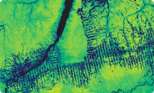
Quantify and Track Climate Risk
Measure land surface temperature, soil water content, forest carbon, and more to understand vegetation health, and improve valuations and risk metrics for hotspots and droughts.
HIGH-FREQUENCY COVERAGE ACROSS BROAD AREAS
Power Asset Management With Planet Satellite Solutions

Always-On Monitoring
A near-daily scan over Earth’s landmass and strategic waterways to increase observability and improve underwriting.

Living Archive
7+ year daily archive to observe change backward in time, test theses, and compare pre/post-event imagery.

Accurate Measurement
Science-based tools to quantify the impacts of events and support accurate loss adjustment.

Automation and Alerting
Automated change detection and alerts to identify unexpected events across broad areas.

Rapid Revisit
High-resolution satellites can revisit any location on Earth 5-7x per day, the highest frequency commercially available.
Contact Sales
Ready to get started with advanced Earth observation tools and insights from Planet? Let’s get in touch.
© 2026 Planet Labs PBC. All rights reserved.
| Privacy Policy | California Privacy Notice |California Do Not Sell
Your Privacy Choices | Cookie Notice | Terms of Use | Sitemap
